
Lynch Canyon - March '24
return to index
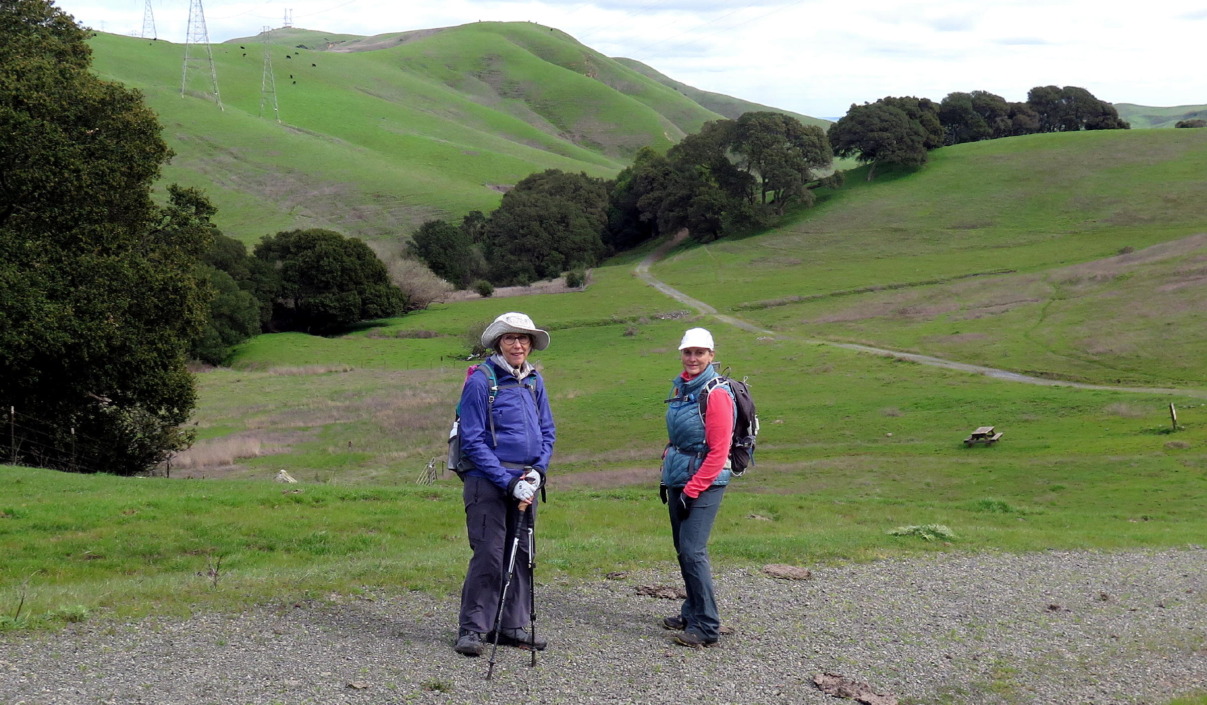
On a Saturday in early March, four of us drove to the Lynch Canyon open space preserve, with 10 miles of walking trails, managed by the City of Fairfield.
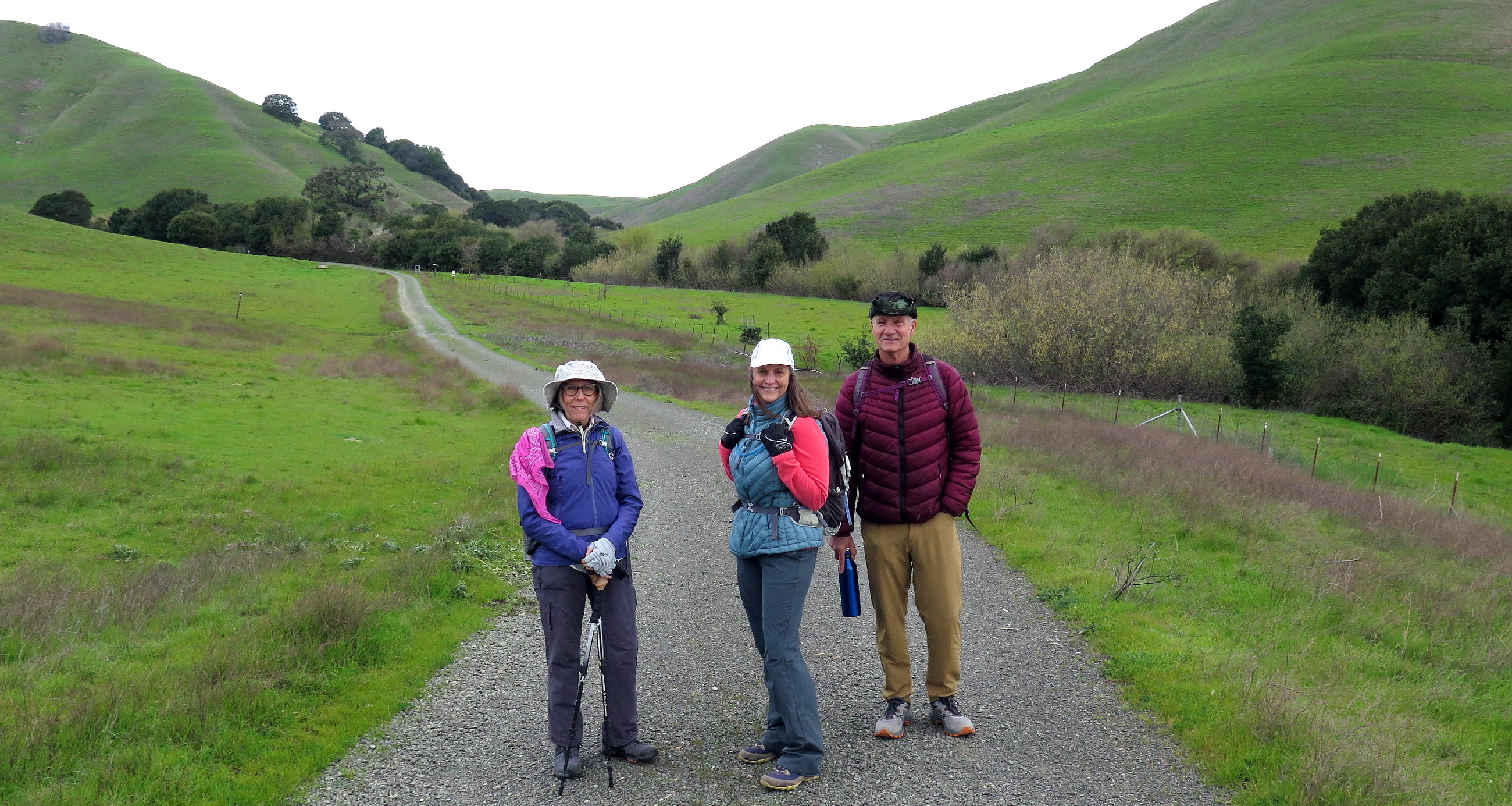
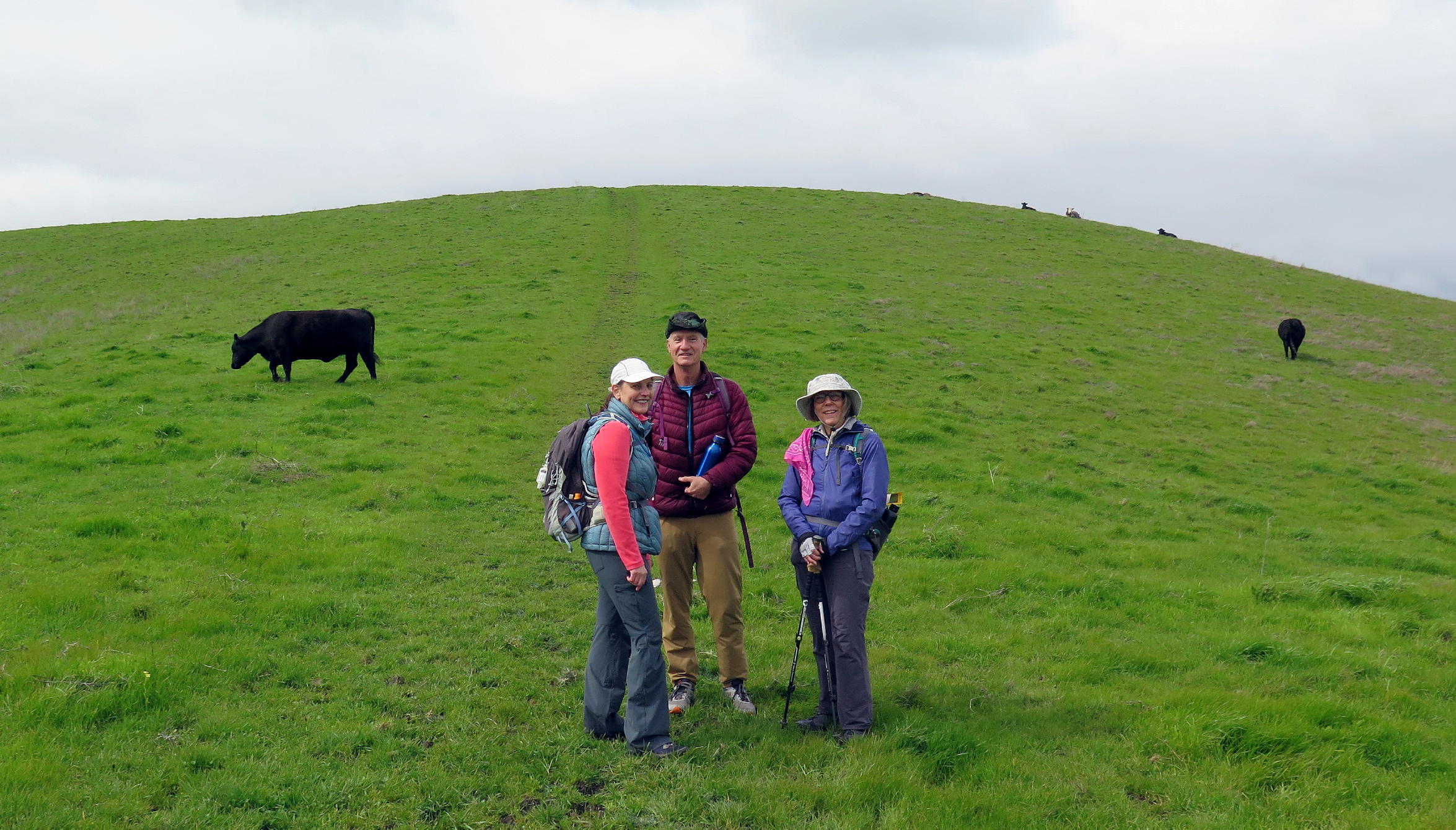
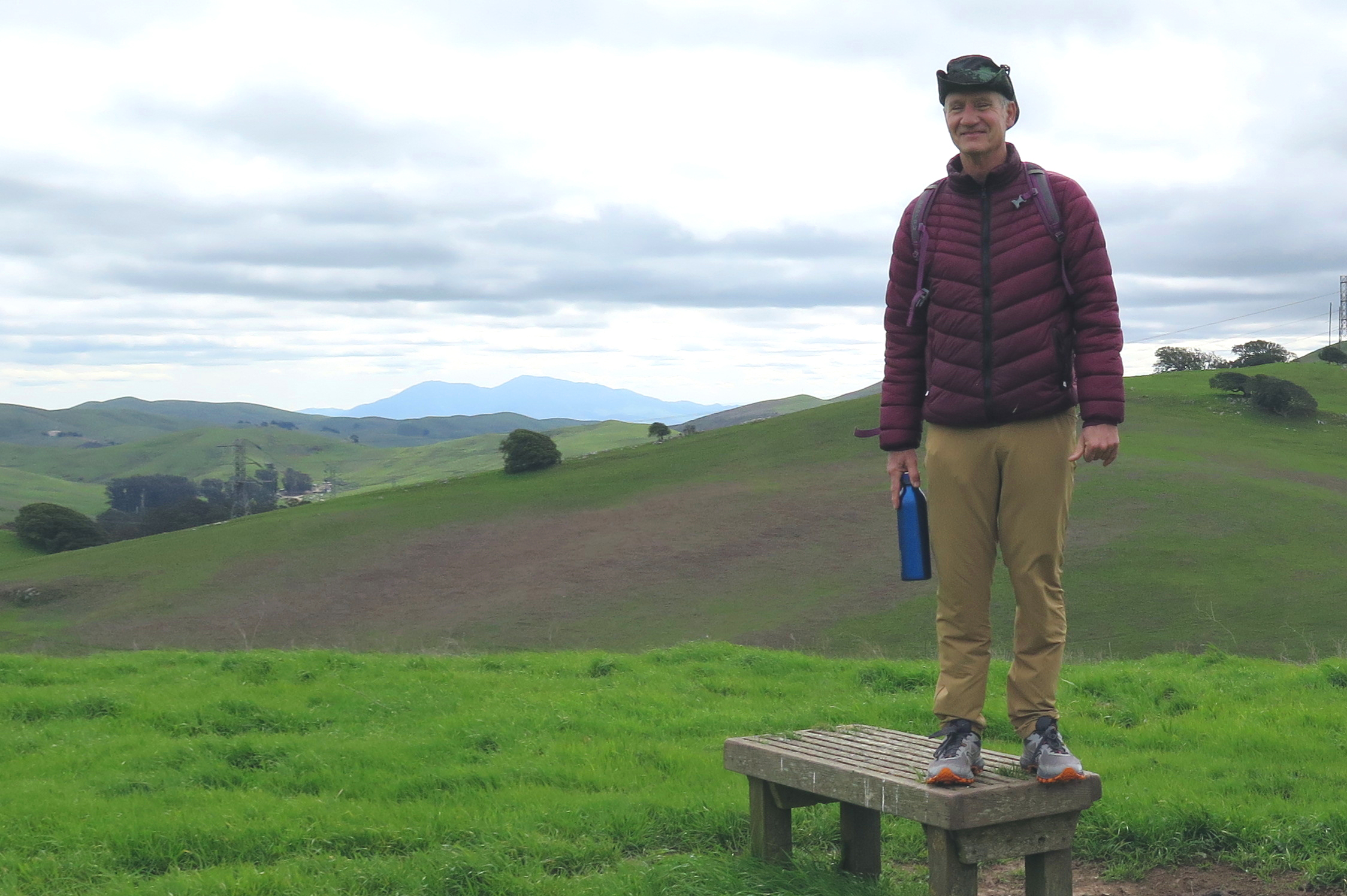
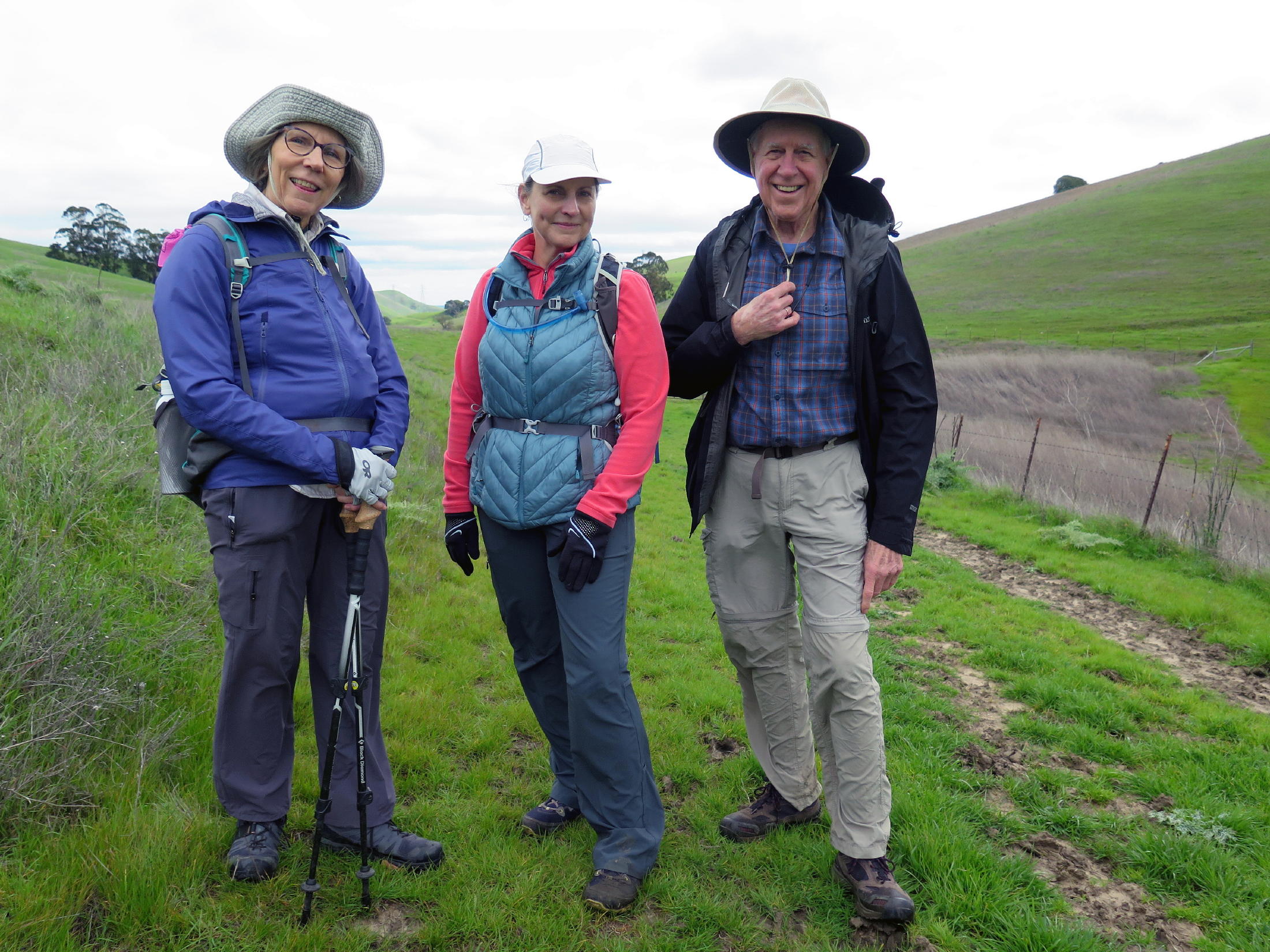
Attendees were Karen, Jean, Andrew, who is a friend of mine, and me.
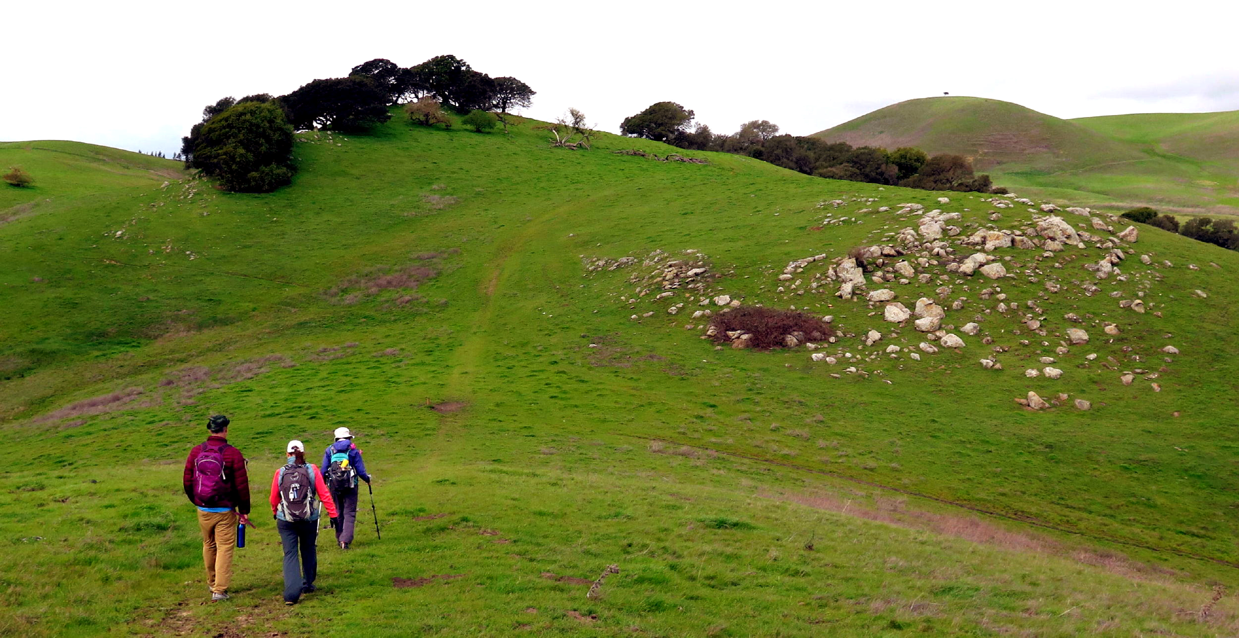
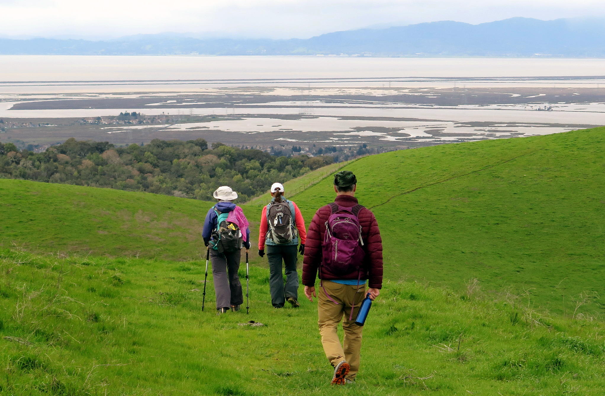
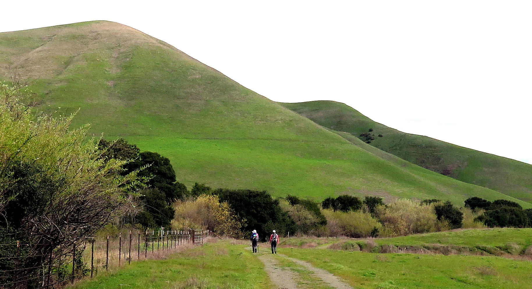
The walk was fairly level until we reached the Reservoir, when a long & steady uphill grade to the ridge began. Once on the ridge we headed south, gaining elevation & wind intensity. Suddenly, part of the northern Bay Area was arrayed before us, but the view was limited due to overcast skies.
note - you can enlarge any part of a picture by left-clicking in and then out again (with some exceptions).
|
|
start of walk |
|
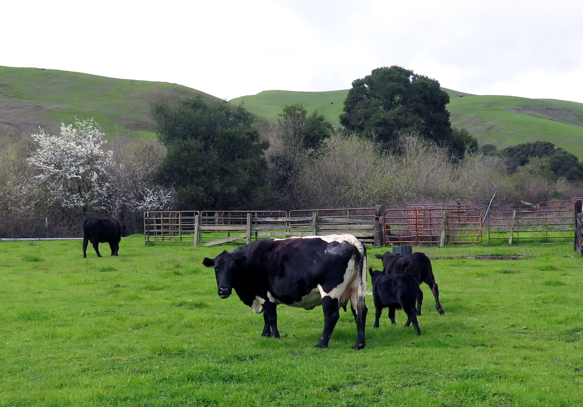
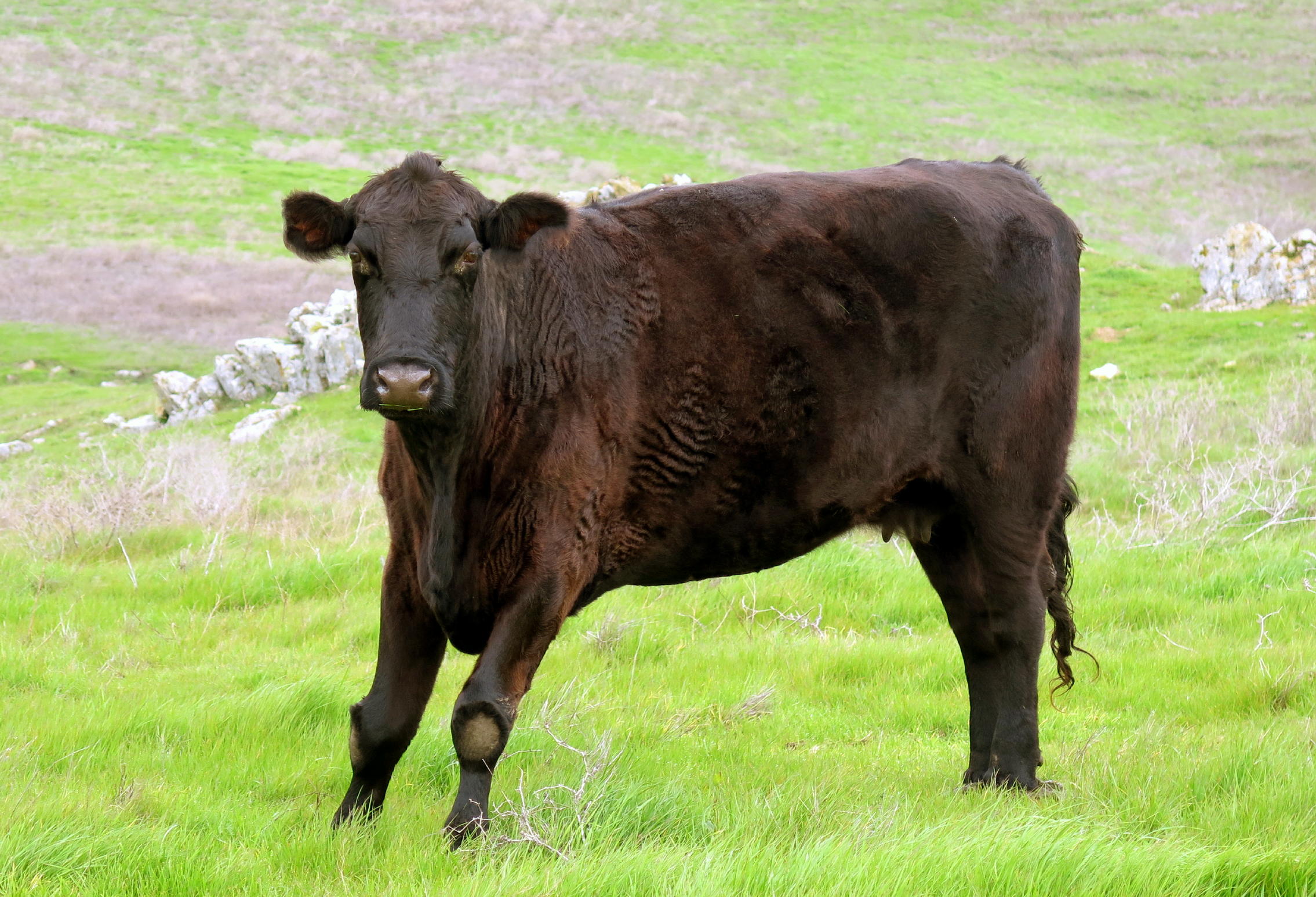
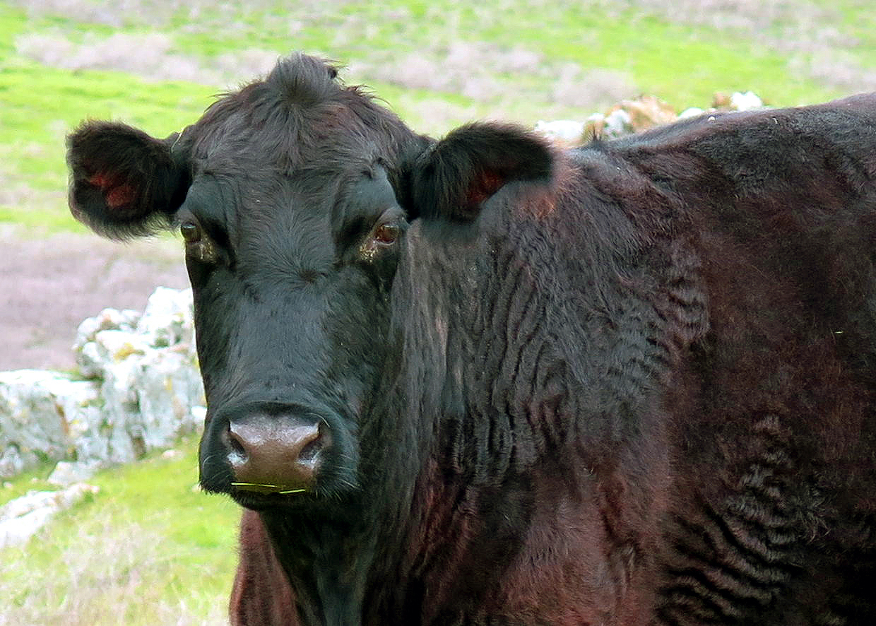
calves were cautious about us |
|
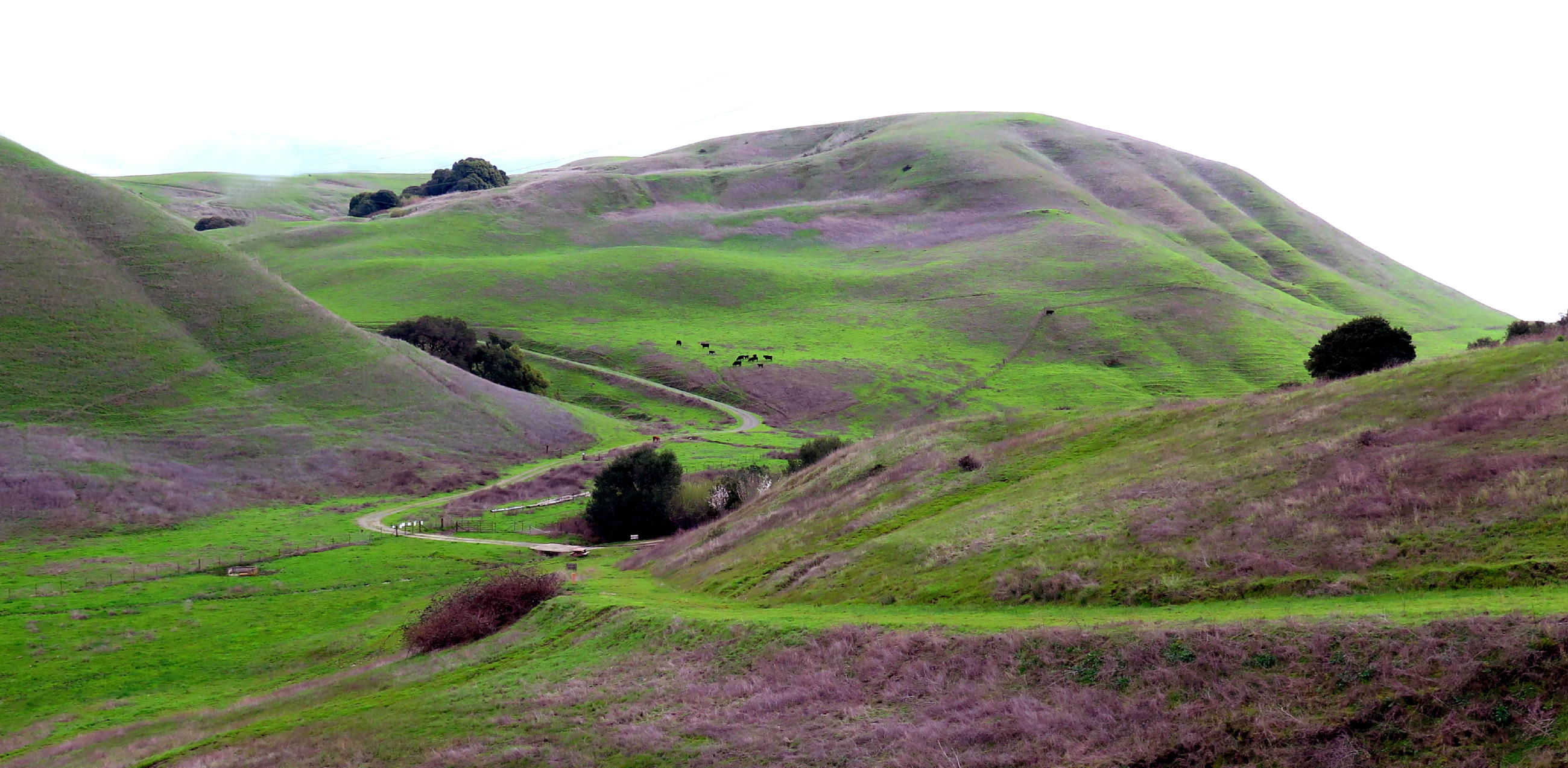
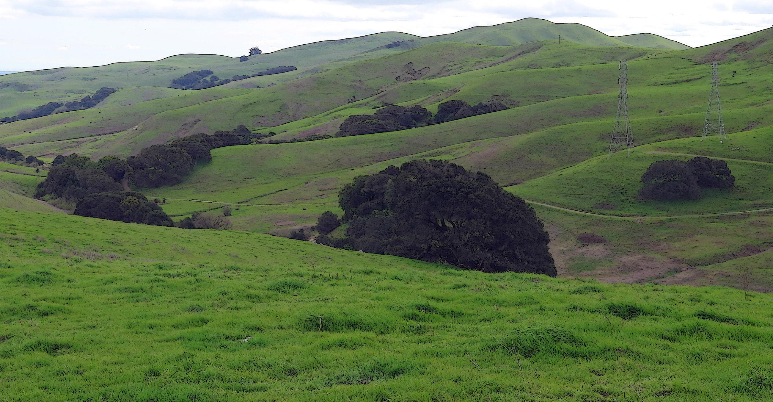
the terrain | |
|
|
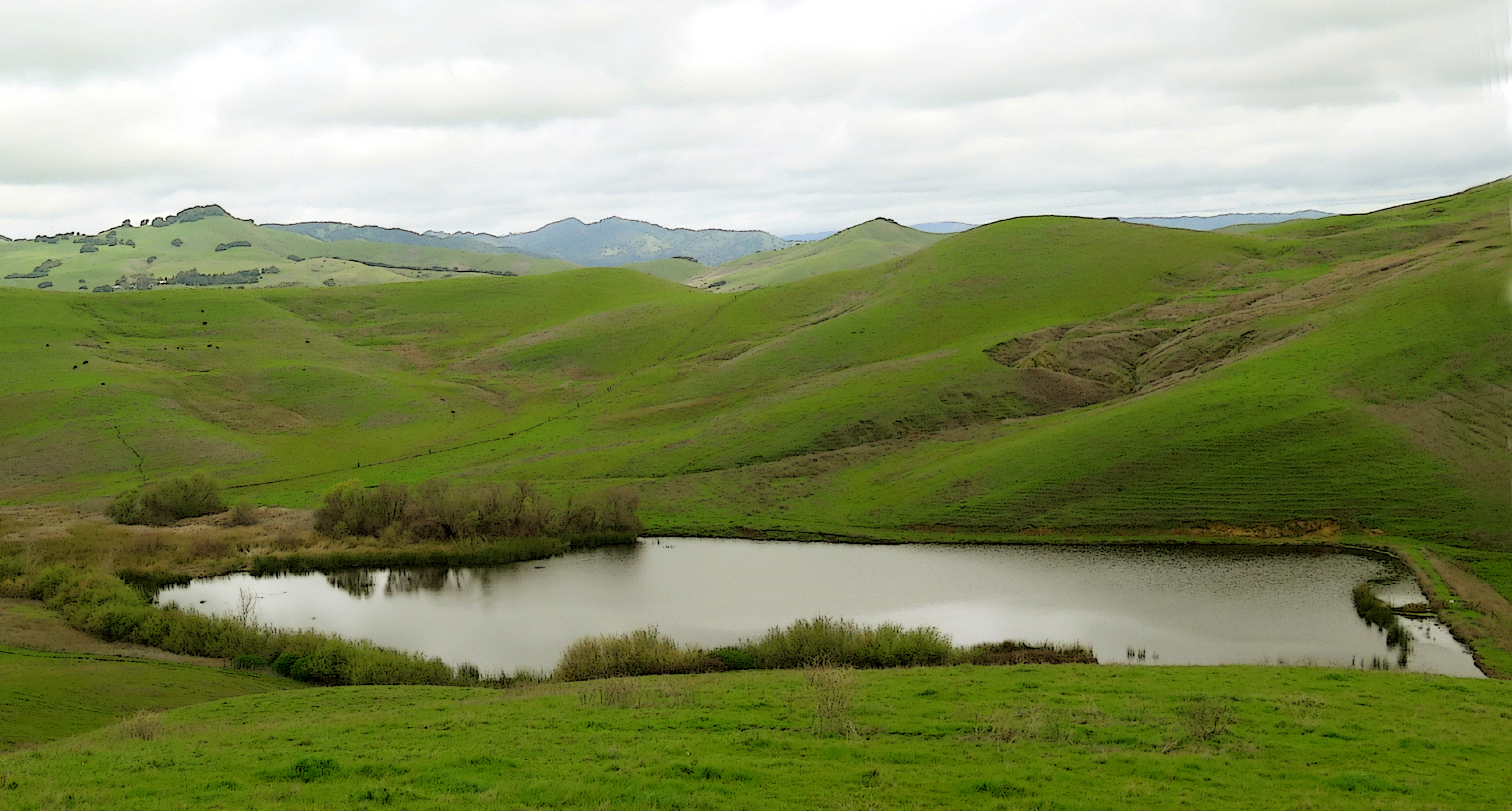
Lynch Reservoir, see note 1 |
|
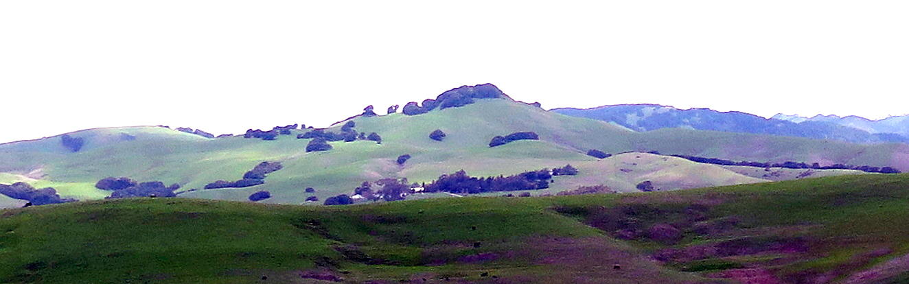
the highlands of Solano County |
|
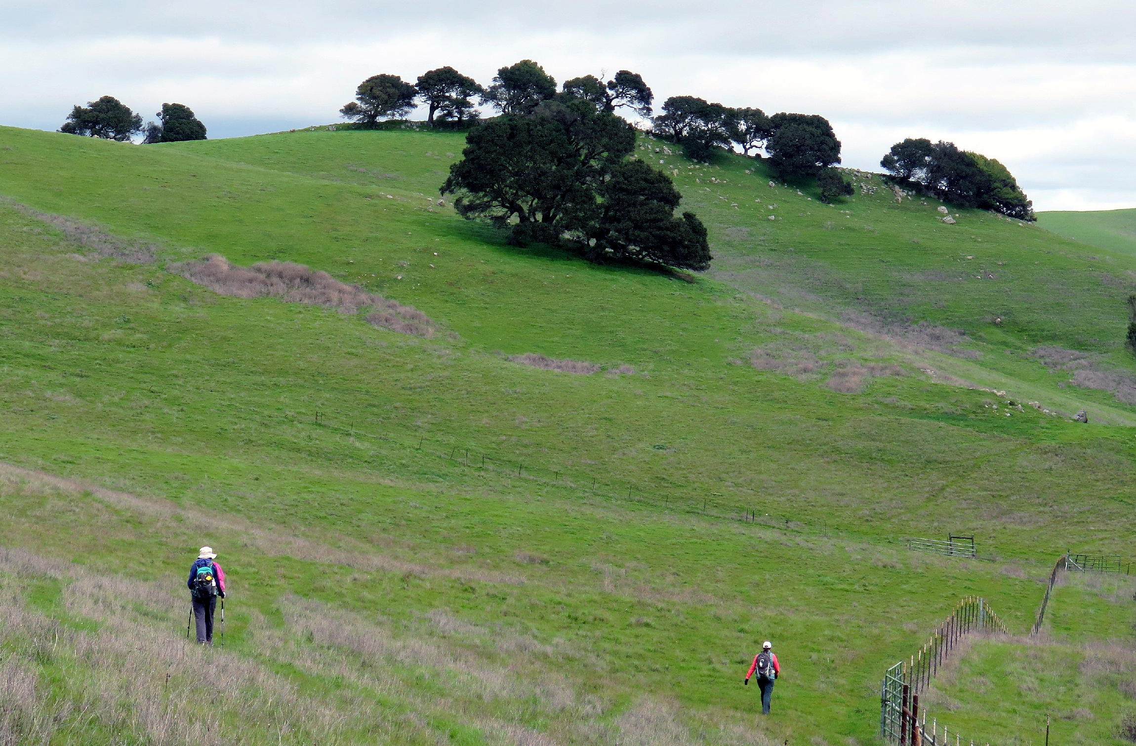
hill walking | |
|
|
|
|
lay of the land | |||
|
|
cow contemplation area |
|
Andrew at the high point & Mt. Diablo in the distance | |||
|
|
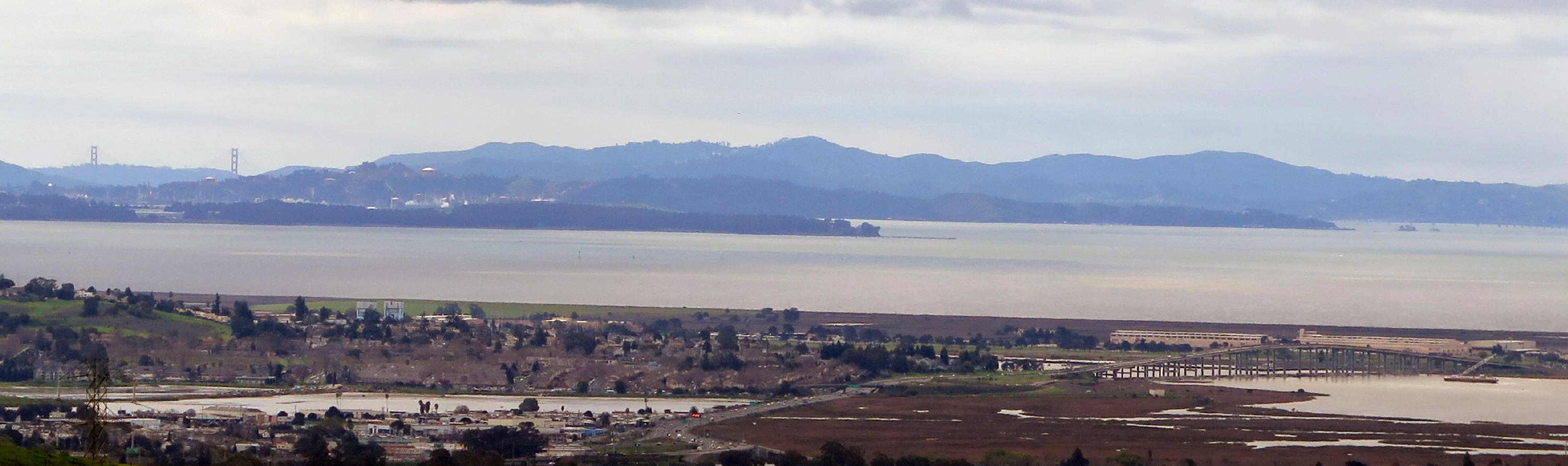
distant view of G.G. Bridge |
|
see note 2 |
|
looking SW above Vallejo |
note 1 - in the distance above Lynch Reservoir can be seen the Twin Sisters, at 2,162 ft., among the highest peaks in Solano County.
note 2 - this view includes the G.G Bridge, at the left, and, the Highway 37 bridge at Mare Island, in the foreground at the right. The high point somewhat near the center of the photo must be Mt. Tam, in Marin County. The general view is from Mare Island towards San Rafael.
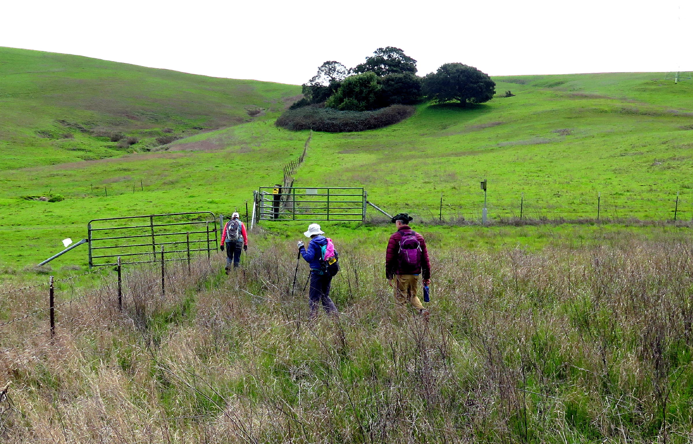
On the return trail, we dropped from the ridge & out of the wind, and soon spotted a picnic table at a tail junction and had lunch. I misread the AllTrails map, and put us on the wrong path for ~15 minutes, but we could see the trail we wanted to be on, to our right, only about 1,000 ft away.
Andrew bushwhacked & found a place to cross Lynch Creek & get uphill to the trail. I had moments of uncertainty, because the banks of the little creek were surprisingly steep & slippery, and I was grabbing handfuls of weeds, or anything I could, and finally a small tree helped me scramble up a bit.
Once on the middle valley trail, it was a pleasant downhill walk back to the car park.
 |
after lunch |
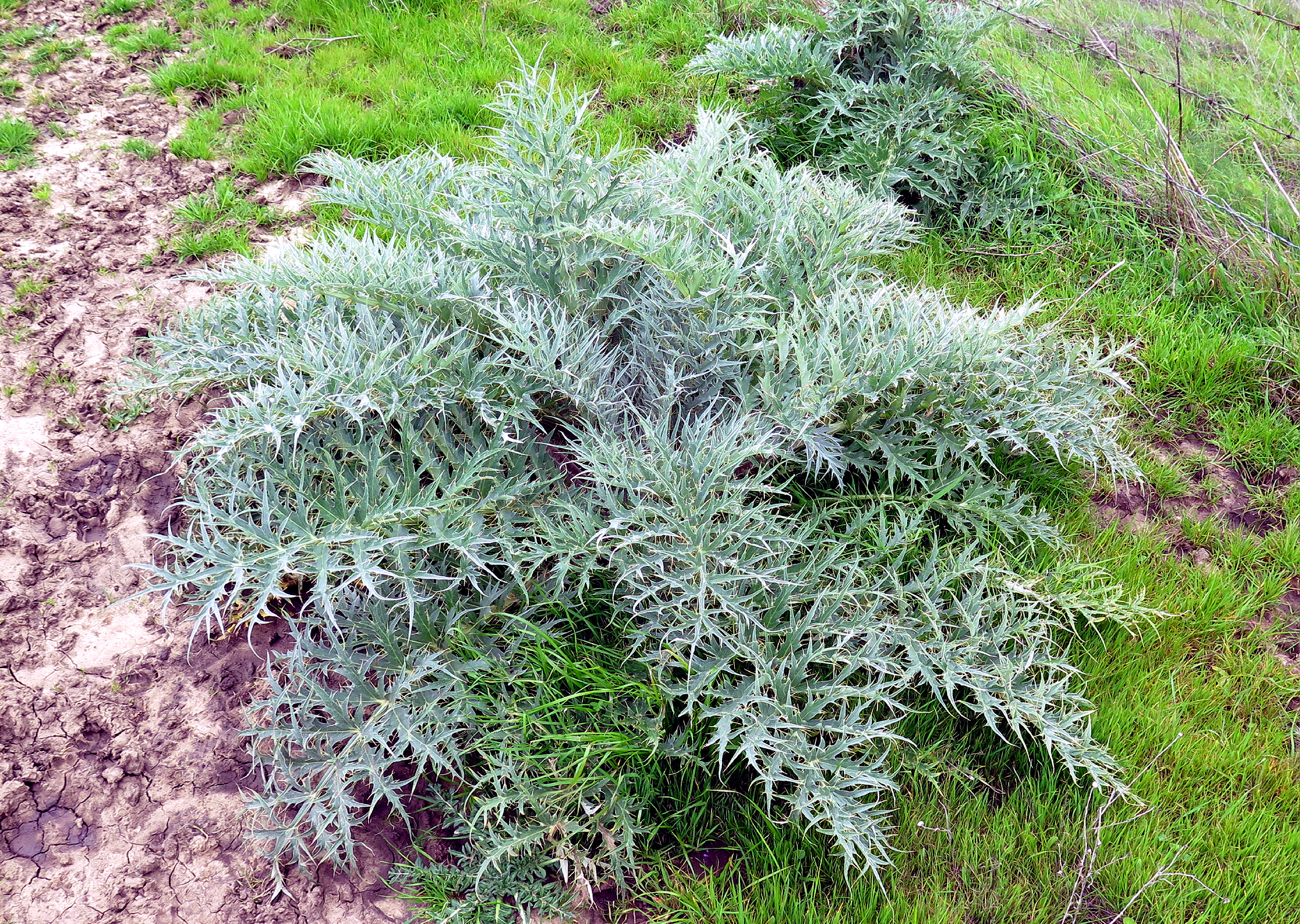 |
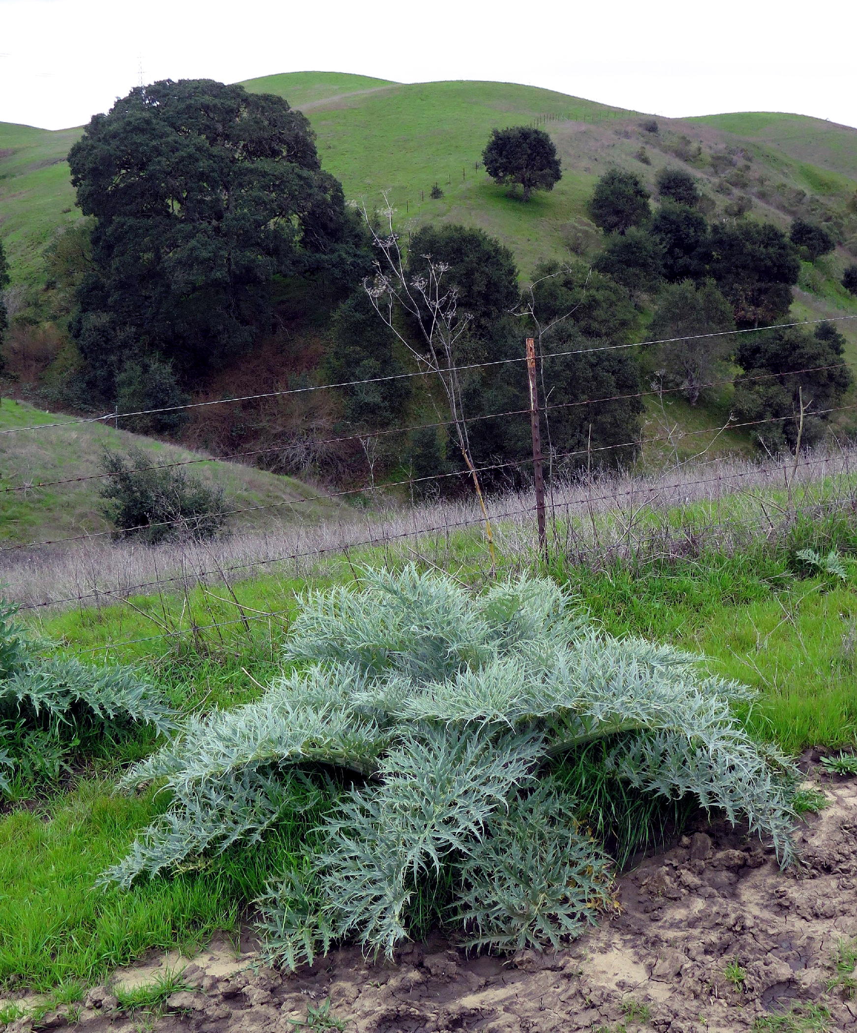
artichoke, a thistle |
 |
||
 |
.jpg) |
< Karen and Jean > |
 |
|||
 |
 |
after crossing the creek |
 |
the return walk | ||
 |
The Lynch Canyon walk was 5+ miles with at least 600 feet of gain. We saw no bikers or equestrians, and only a couple of walkers. This is a great place to walk, and there is an adjacent park (with hiking trails) to the south, known as the Newell Open Space Preserve, which provides access to the hills we walked on, to local American Canyon subdivision dwellers and there's a public trailhead, too, with parking & a restroom.
Our small group was back in Davis (carpool location) about 3 pm & today's drive was easy.
return to index
Park info - Lynch Canyon trails are open to hikers, bikers, and equestrians, from 9 am to 5 pm, only from Friday to Monday. An $8 fee per car, cash only, is required.
Because of presence of cows, dogs aren't allowed.