
Ireland-Scotland 2013 - Loch Lomond & Callendar
return to Ireland Scotland Index
return to main index
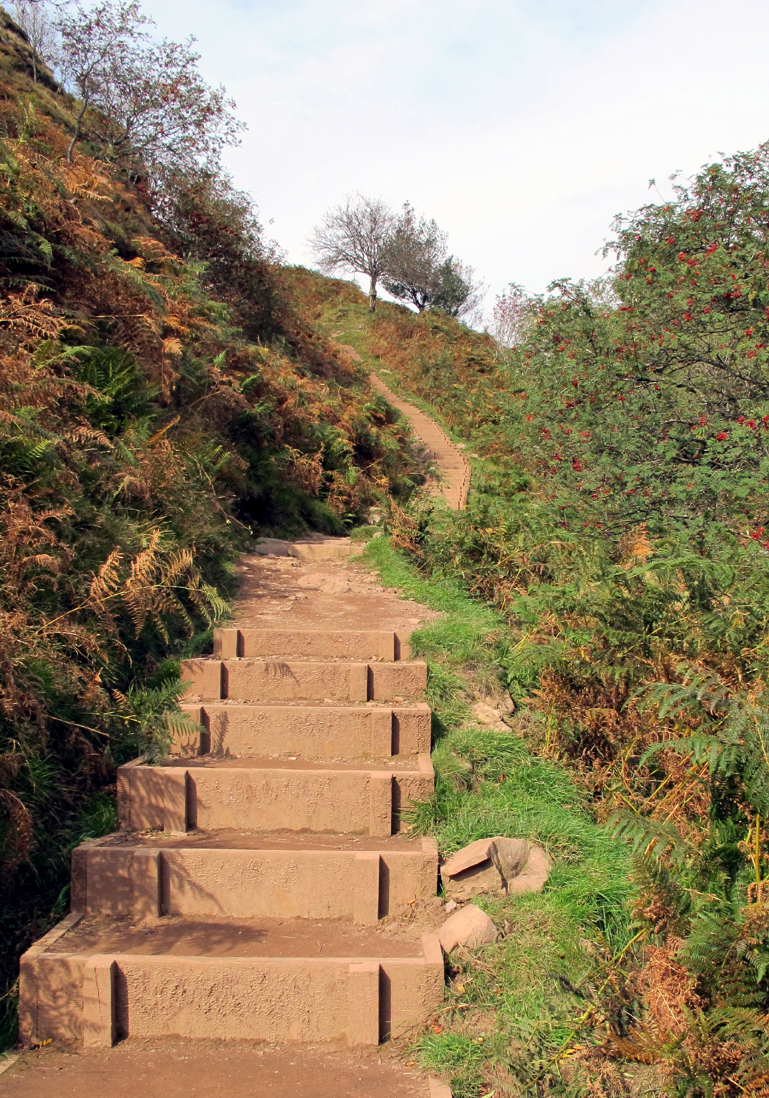
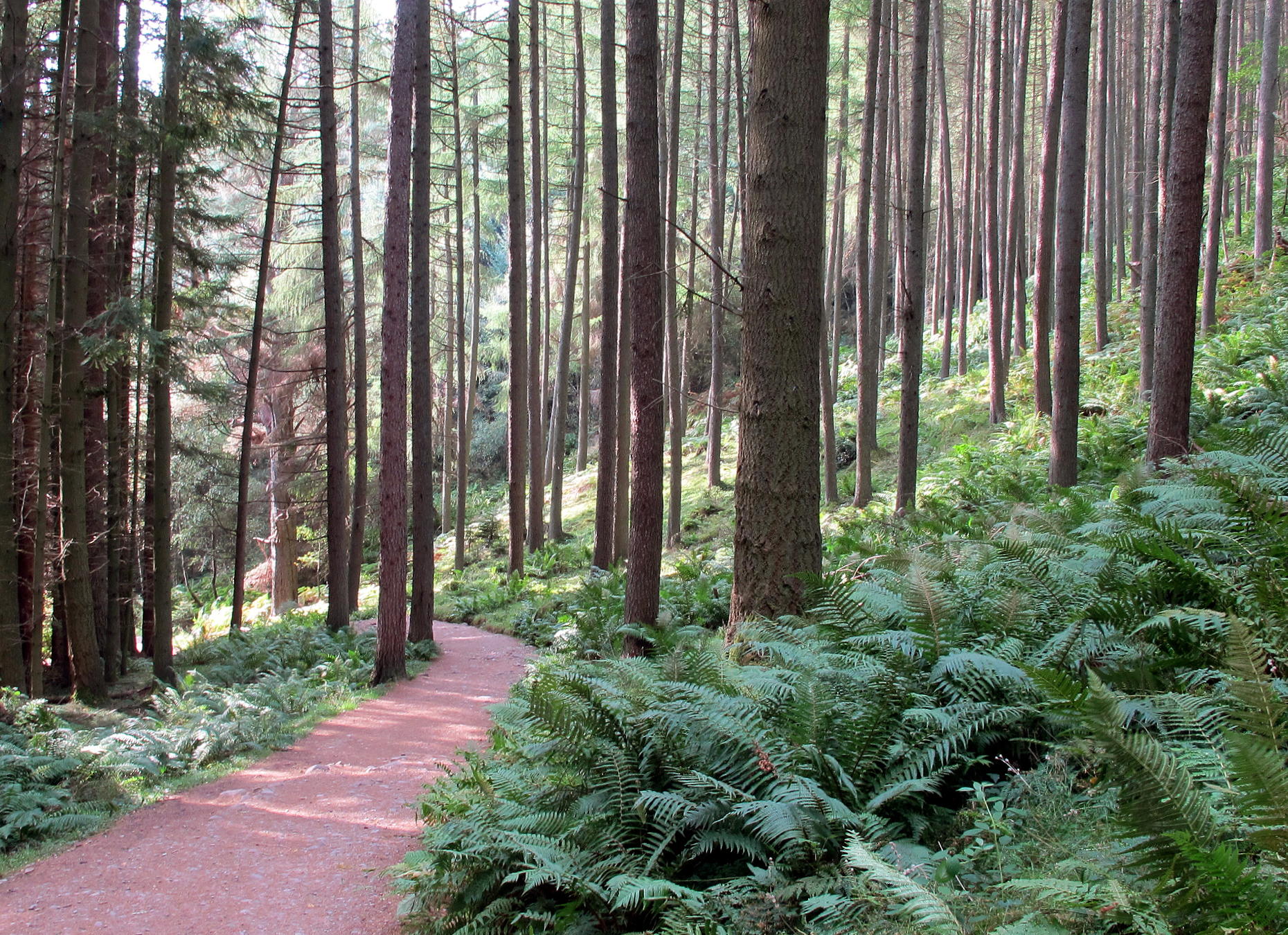
From Stirling we drove to Loch Lomond, generally to the north of Glasgow, where the Scottish Highlands begin. Once at the Trosachs National Park visitor center Doris & Paul took a downhill lakeside trail while I tried the short summit climb to Conic hill.
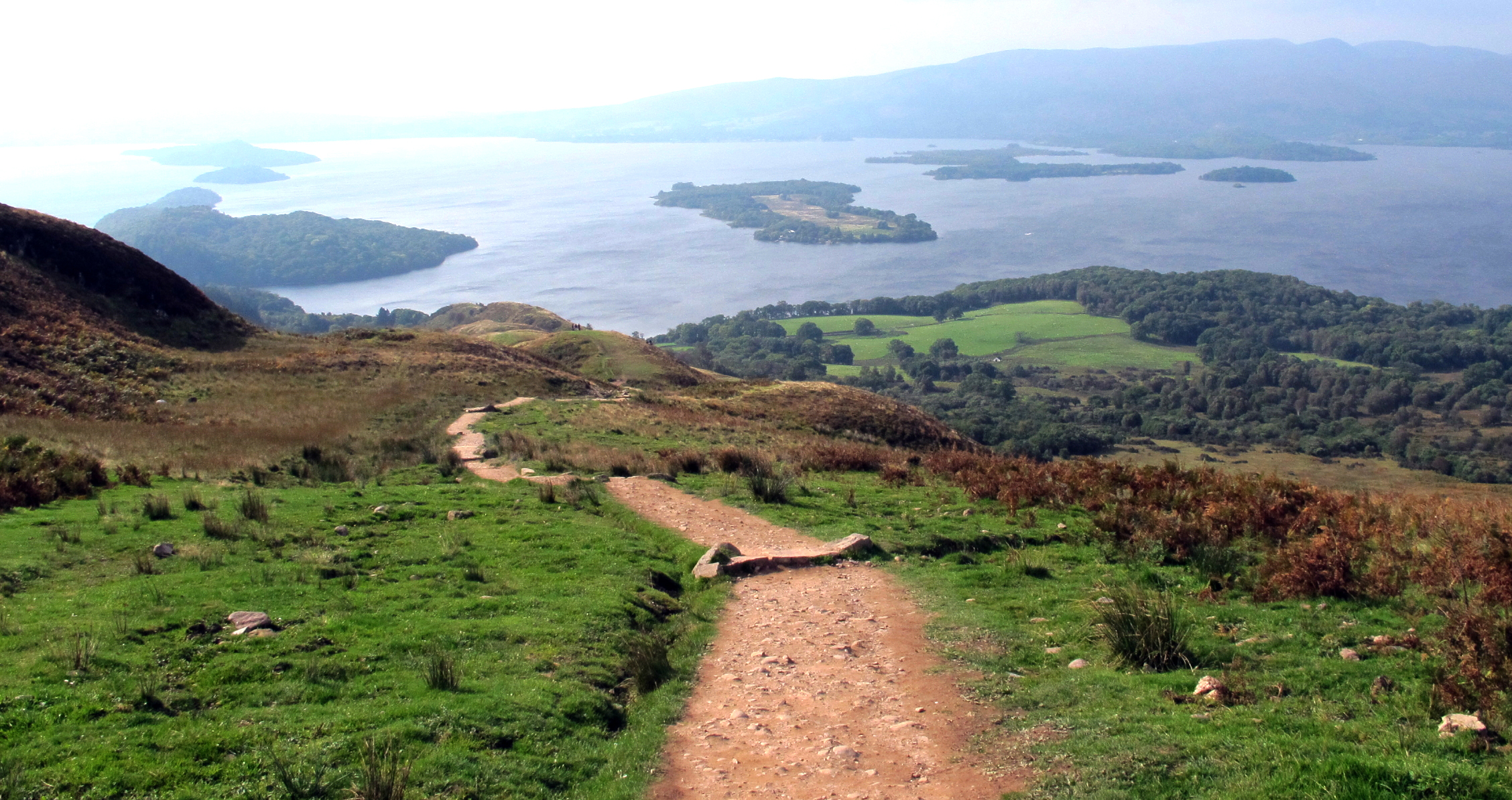
There were extensive wooden stairs to the upper part of the climb. I didn't get to the top because the wind was too strong to walk into. When I turned around to head back, there were great views over the famous Loch.
note - you can enlarge any part of a picture by left-clicking in and then out again.
|
|
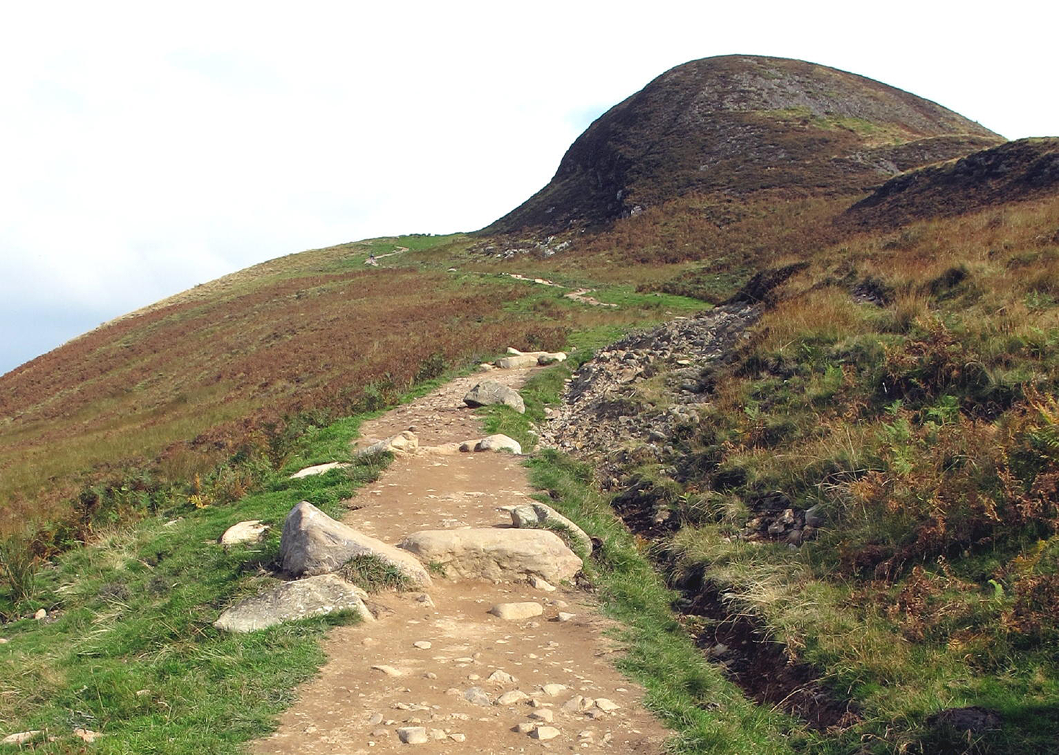
walk to Conic hill |
|
|
Conic Hill at 361 meters | |
|
|
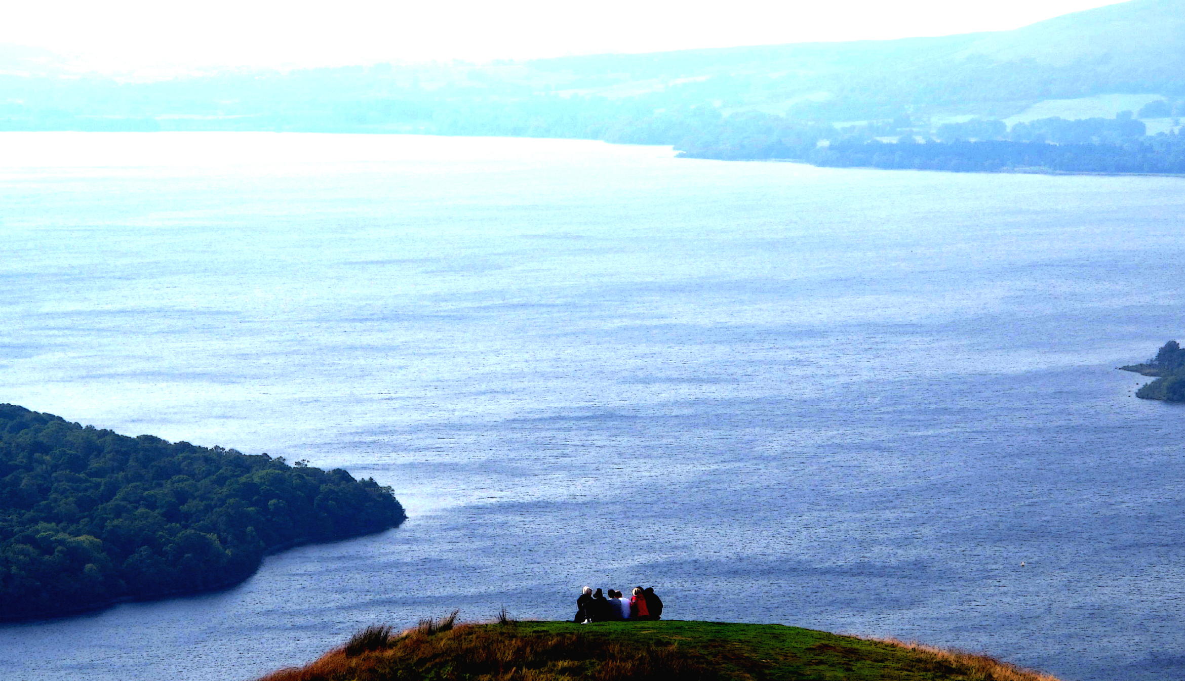
the mythical shores of.... |
|
...Loch Lommond |
|
Later we drove awhile & arrived at a B&B in Callendar at dusk.
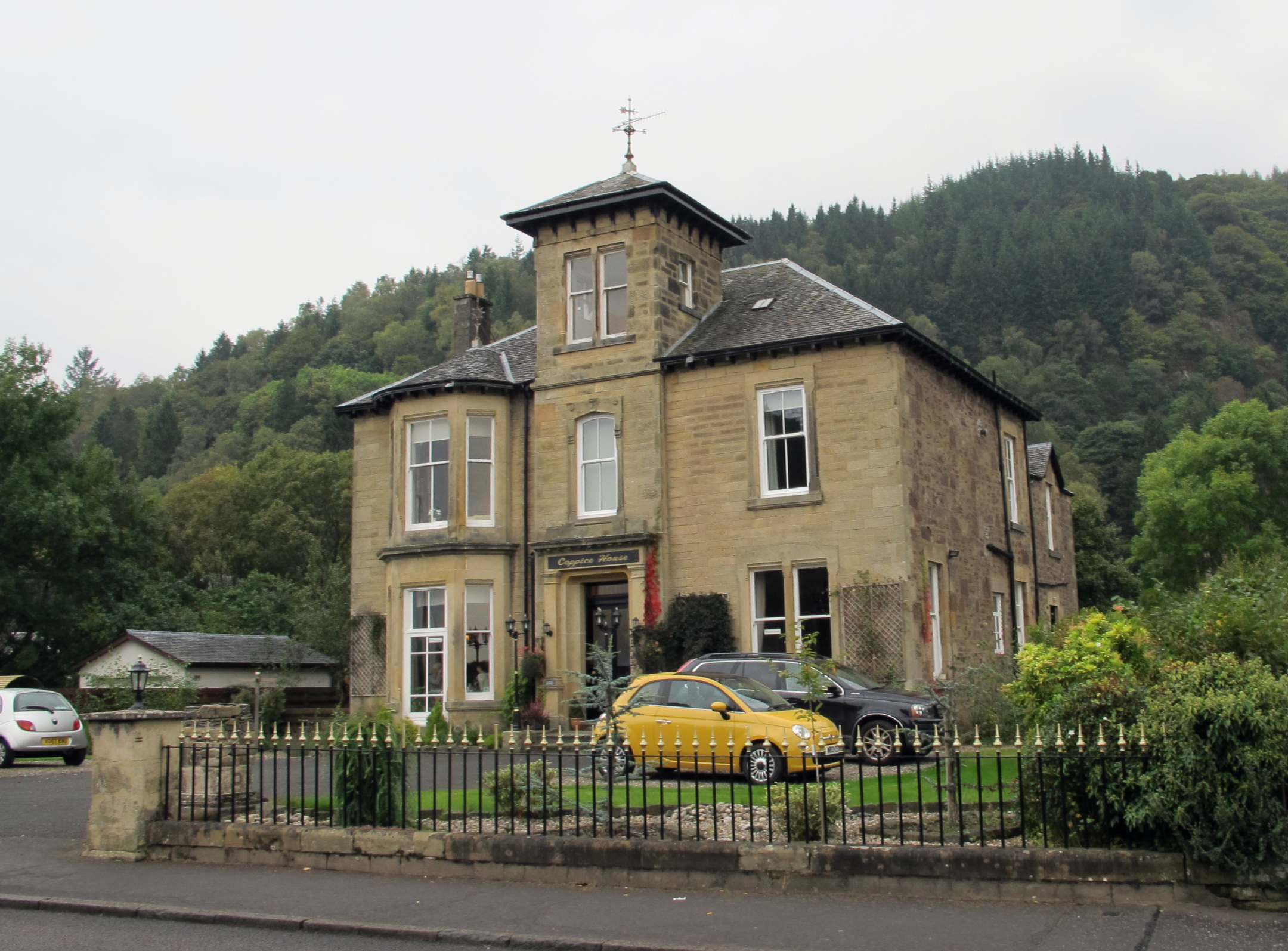 |
former private school |
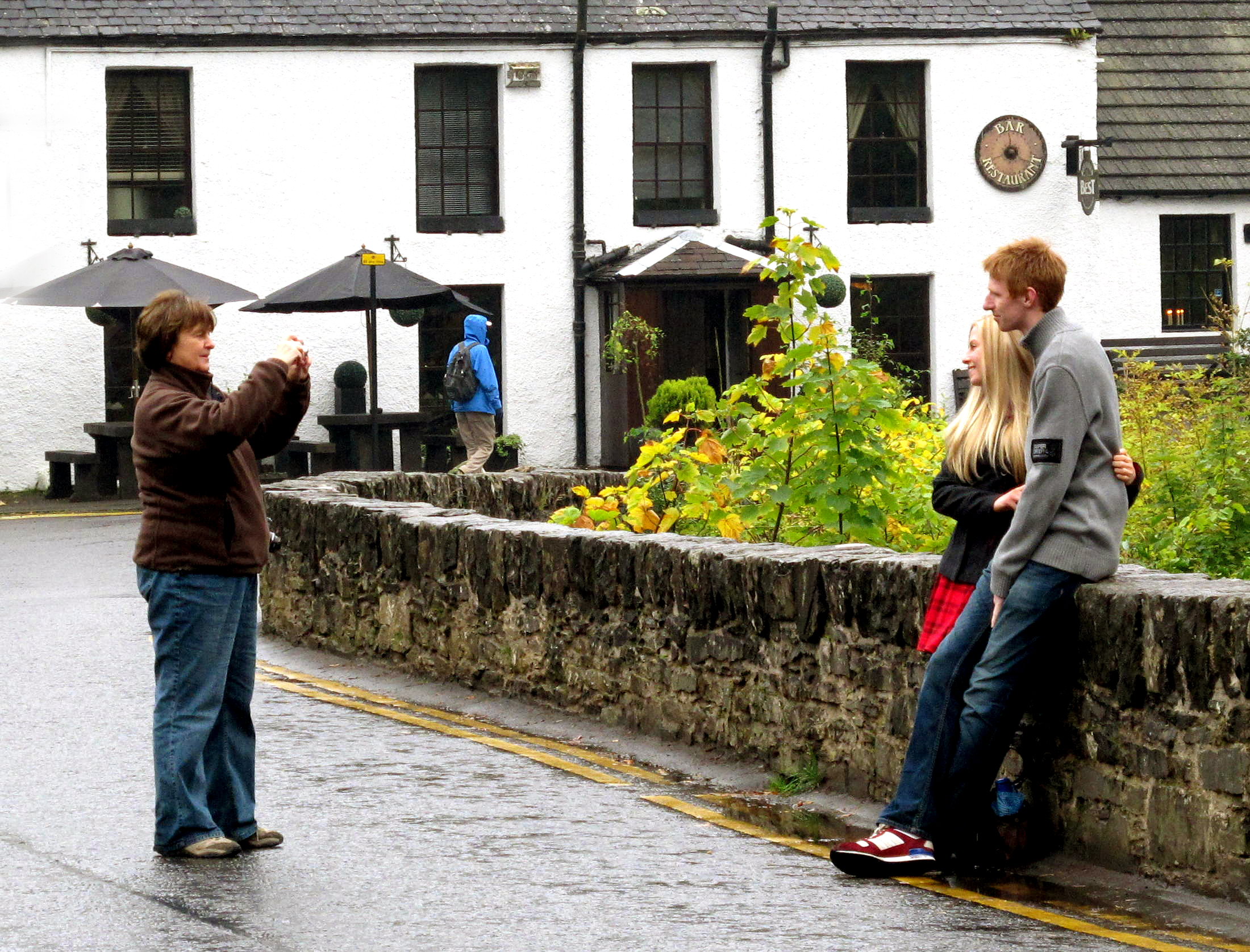
In Callendar on Wednesday morning (after breakfast) we walked down the main street to the Rob Roy visitor center, in a light rain. Across the street a local bakery pumped fresh croissant & coffee aromas onto the sidewalk and we had to stop, on such s crappy weather day. Two bicyclists said 'hi' and smiled, as they passed by, in rain gear.
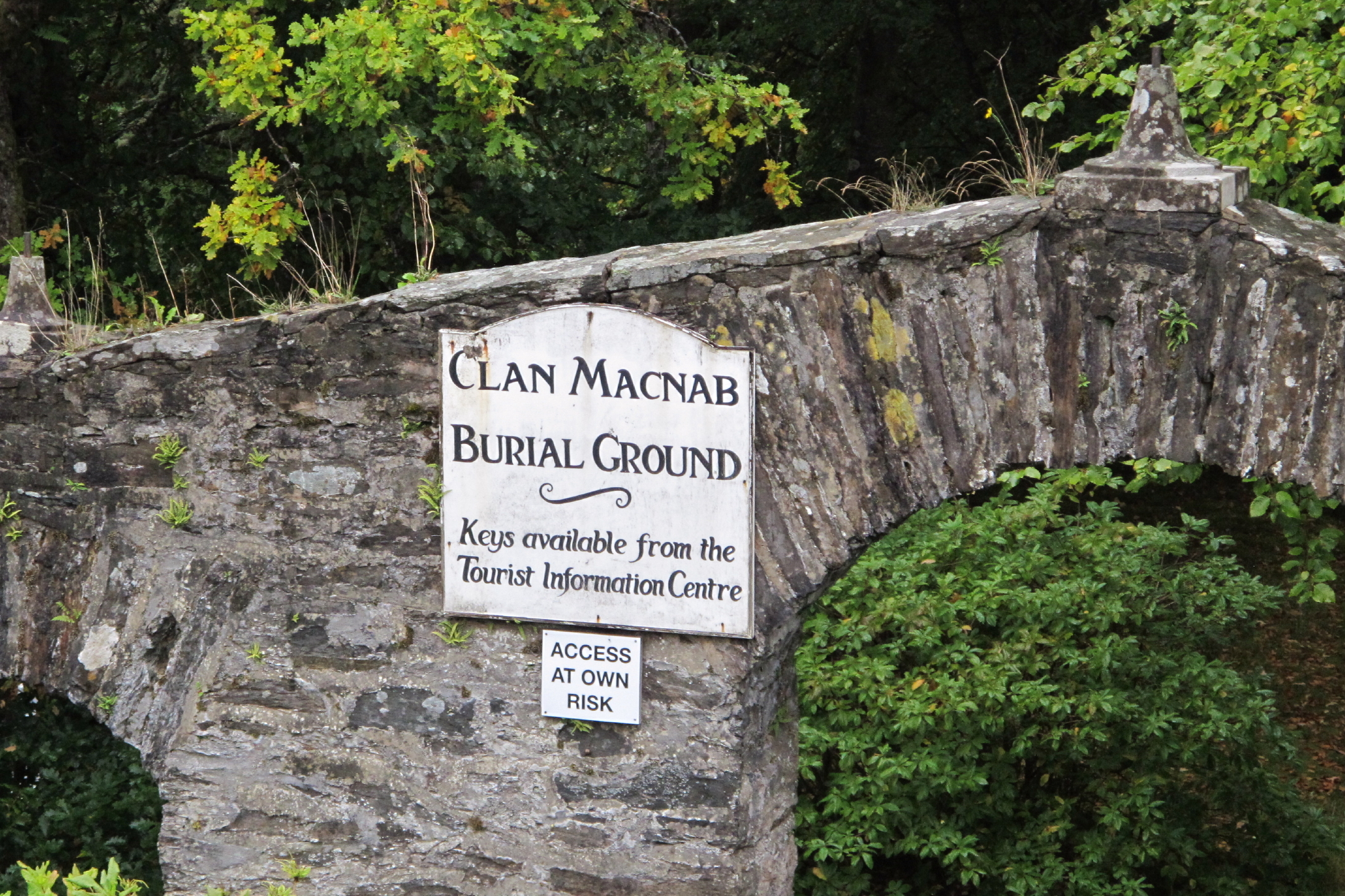
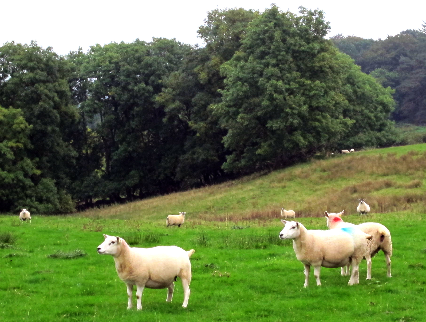
Taking back roads to Pitlochry, we stopped at the creek-side town of Killin, a very fitting name, given the long history of Scottish clan warfare in the area, well, throughout the Highlands.
An ancient MacNab family burial ground here is located on the creek bank, close to the bridge. It is posted "enter at your own risk" and a sign tells you to get the key at the tourist center. A different sign at the entrance to the graveyard shows the MacNab Clan Coat-of-Arms which depicts the severed head of a local enemy clan leader. It probably had to be updated on a regular basis !
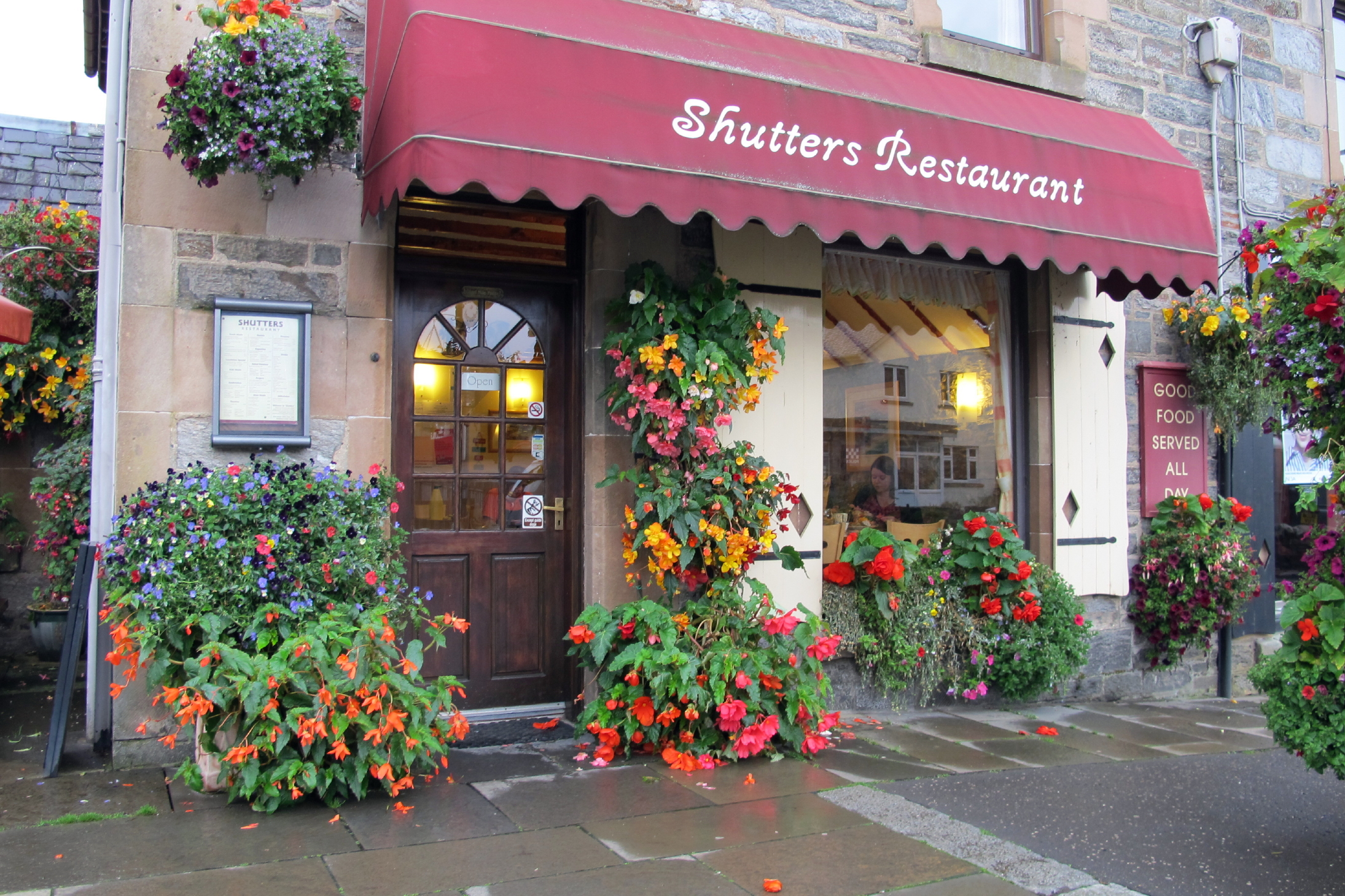
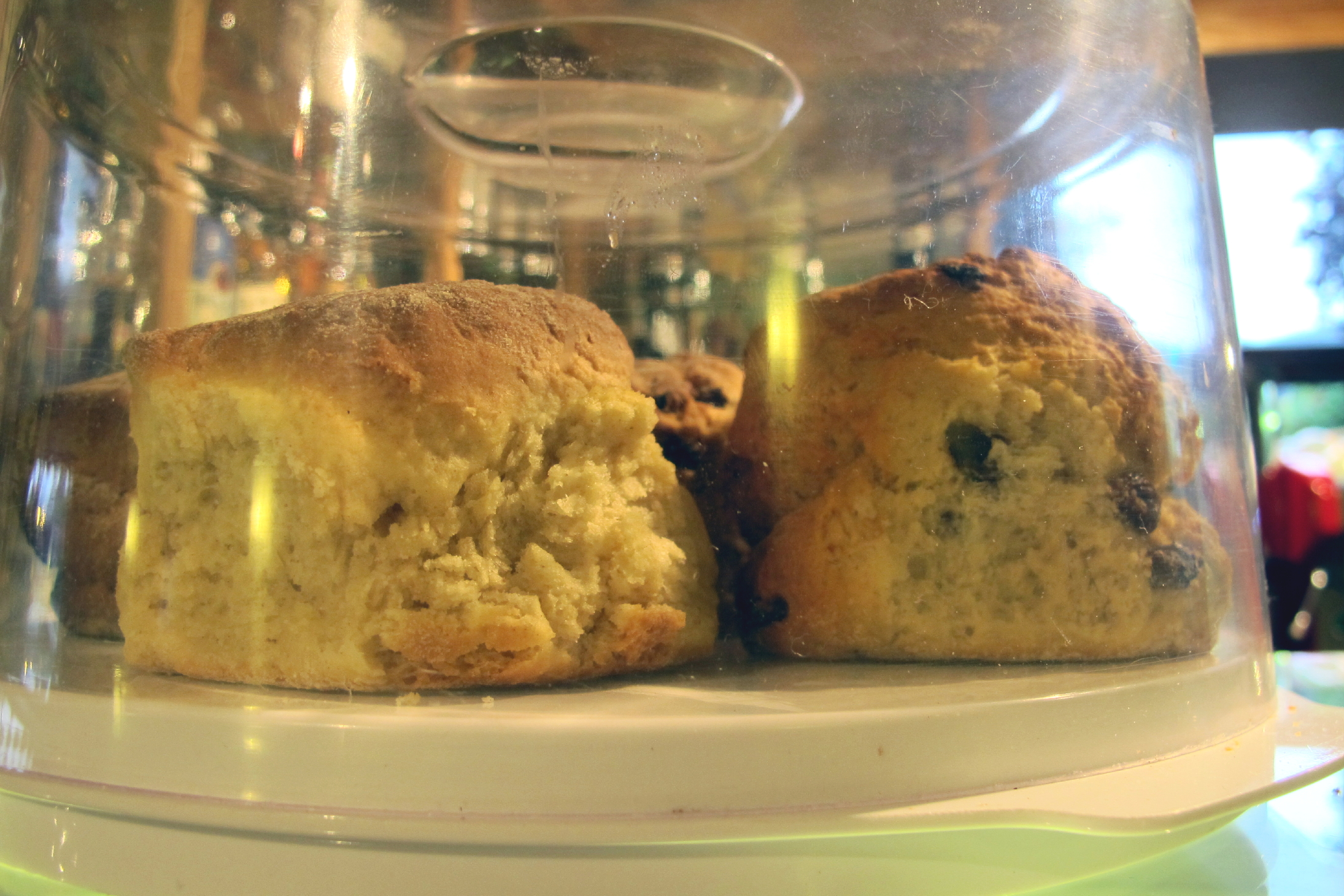
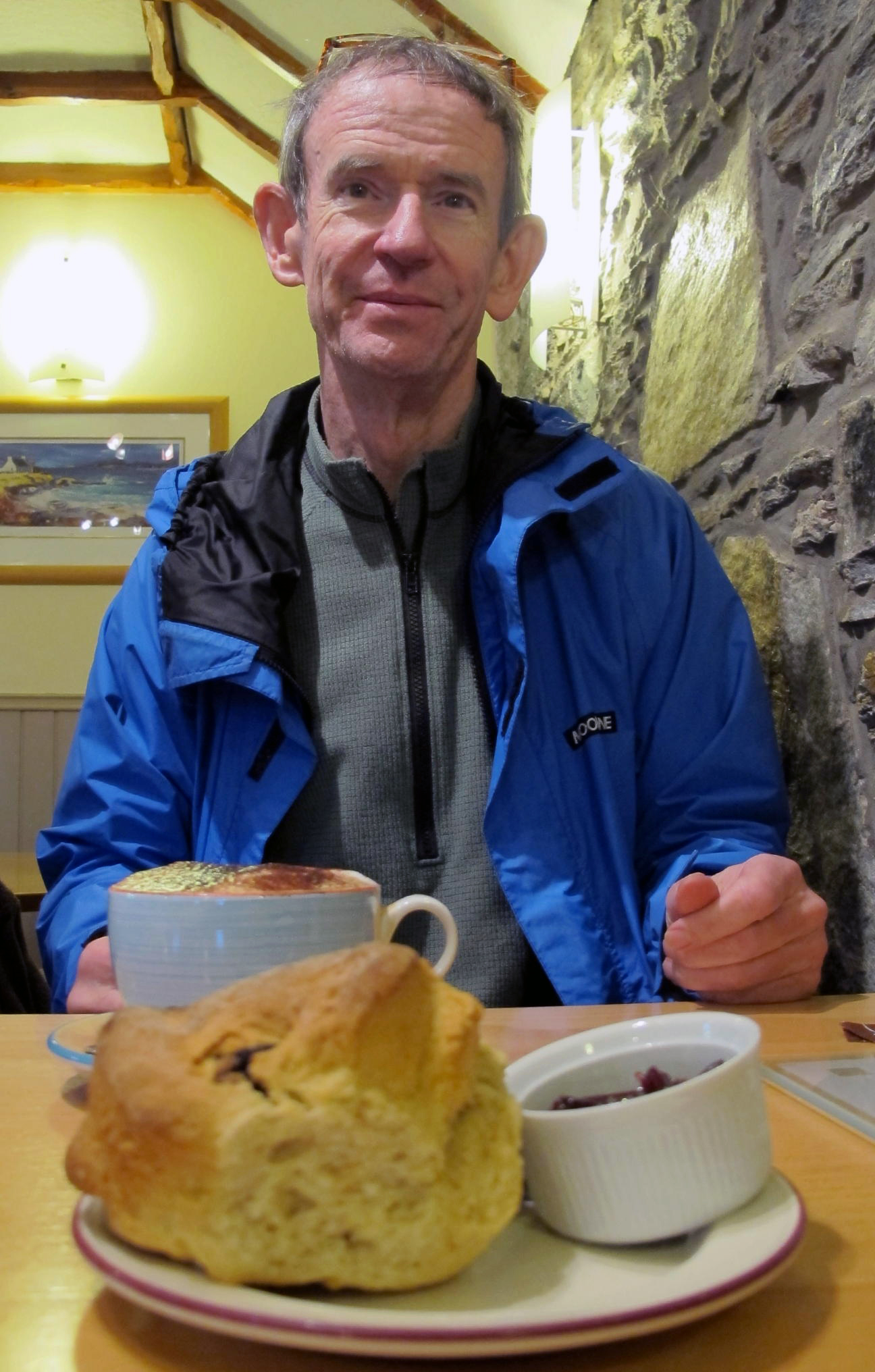
We enjoyed being the only mid-afternoon customers at the sleepy Shutters tea shop. From the start of this trip, with our big Irish breakfasts, we tended to skip lunch, having a scone w/butter & jam, and tea or coffee, around 2 or 3 pm. As you might imagine, this new habit quickly establishes itself.
 |
sweethearts on the bridge |
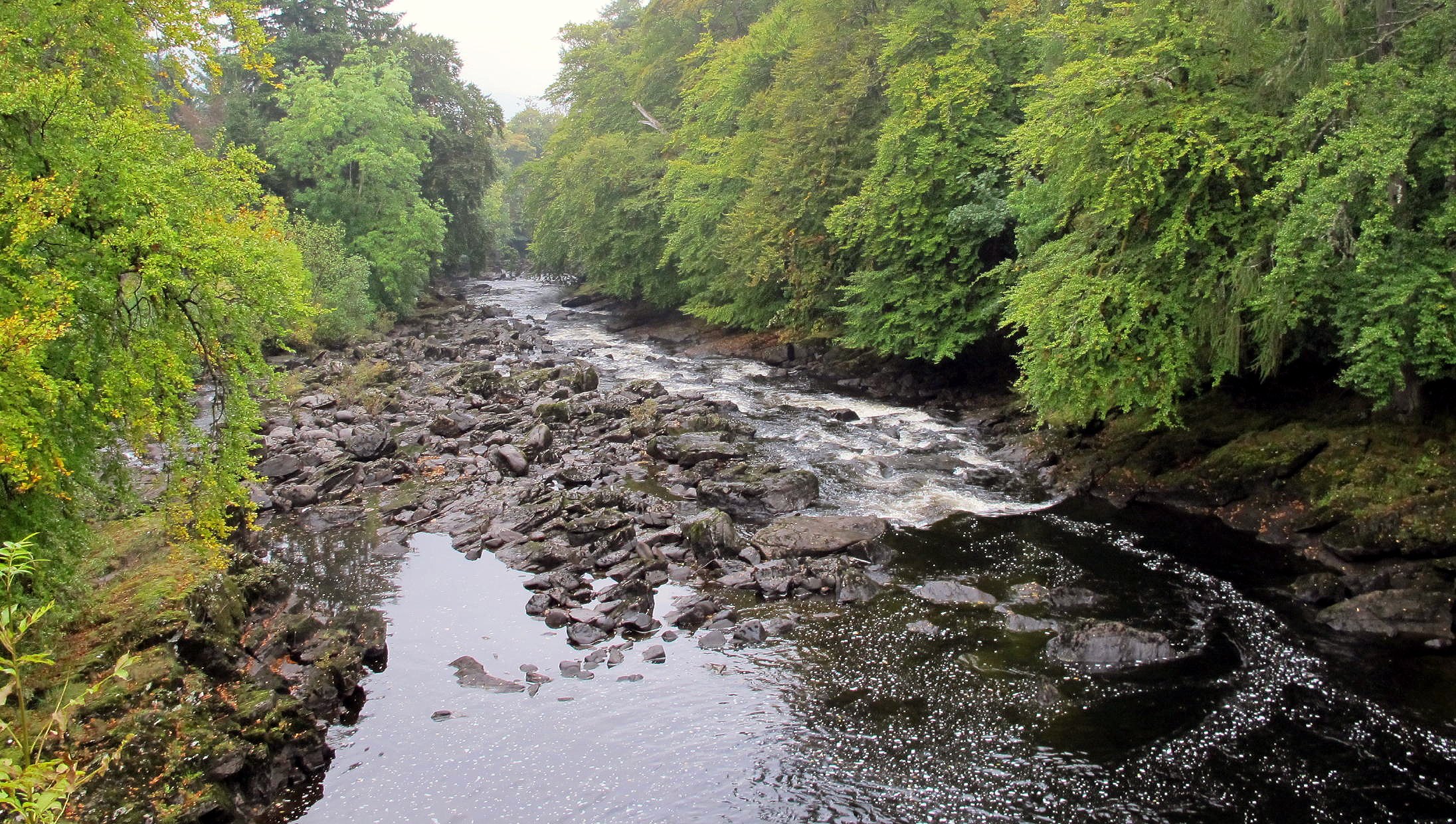 |
downstream to Loch Tay |
 |
a grim history here |
 |
tea shop |
 |
driver Paul needed a break |
 |
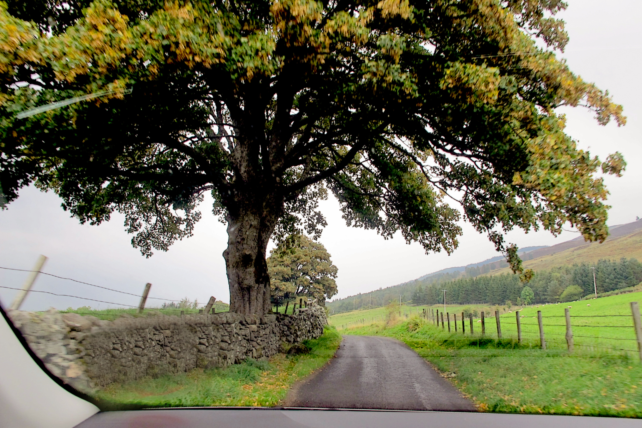
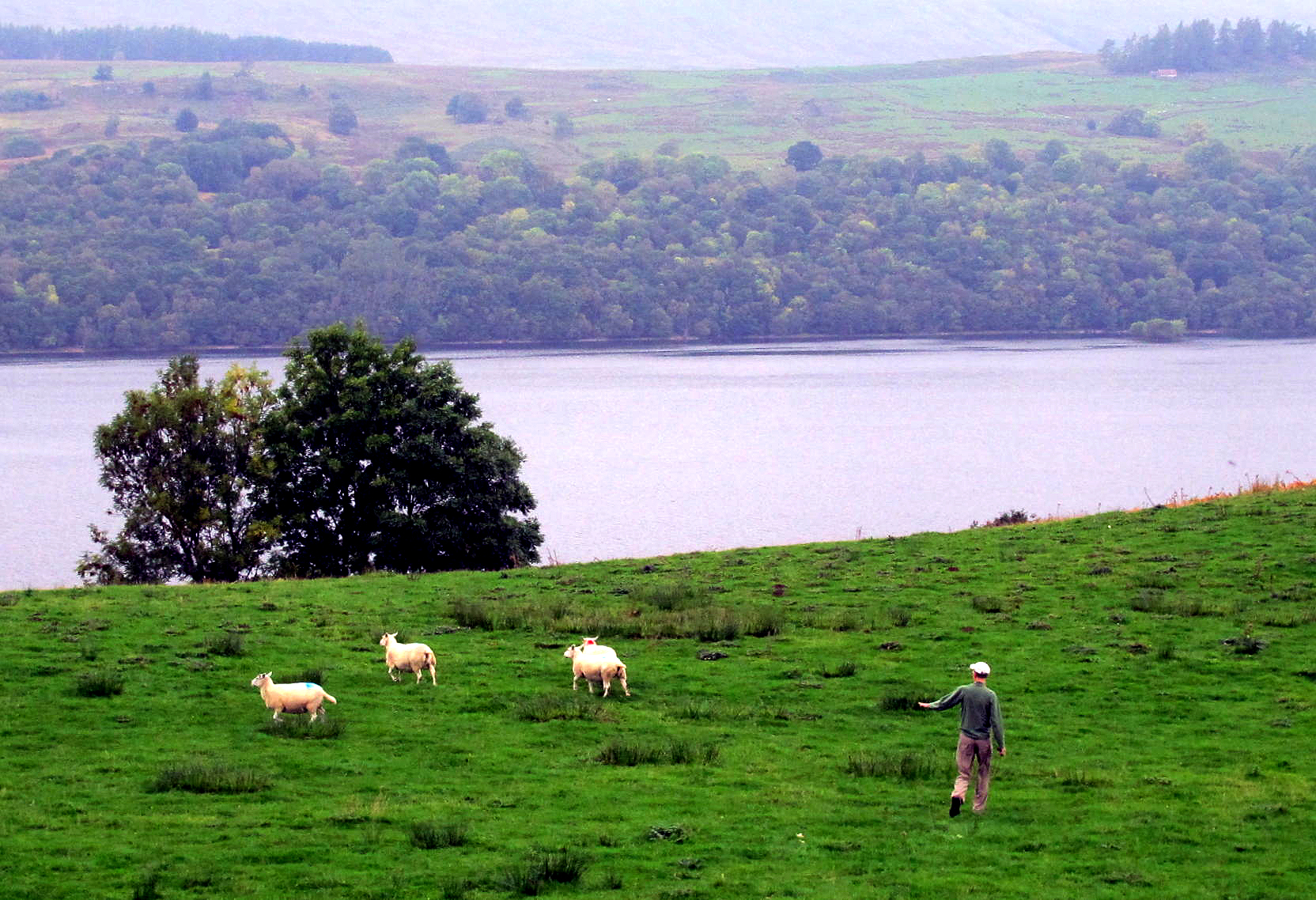
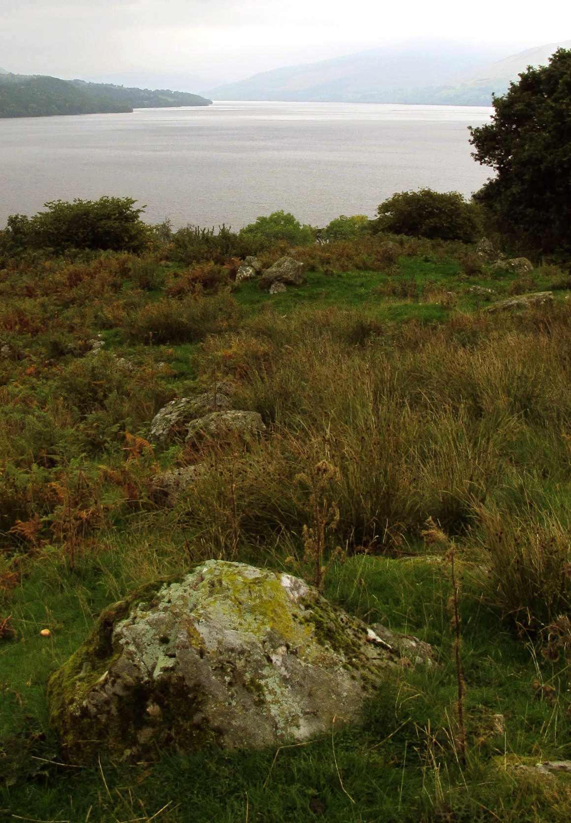
Due to a main back road closure we had to take a secondary back road, barely one lane wide, on the south side of Loch Tay, heading for Pitlochry. Lucky for us there was no traffic at all; we saw two cars coming towards us during an hour's drive.
It was overcast & moody Scottish weather in a good bit of driving scenery.
 |
drive along Loch Tay |
 |
Paul needed a break from Dunahoos |
 |
what is he doing? |
 |
Loch Tay |
After some hilly driving we arrived in Pitlochry, staying at an elegant old hotel, for two nights. Once we settled in, the owners served wine downstairs & gave us a dinner recommendation, in the center of town, where we went. The tourist season here seems to be over.
go to day 11 & 12 - Pitlochry
return to Ireland Scotland Index
return to main index
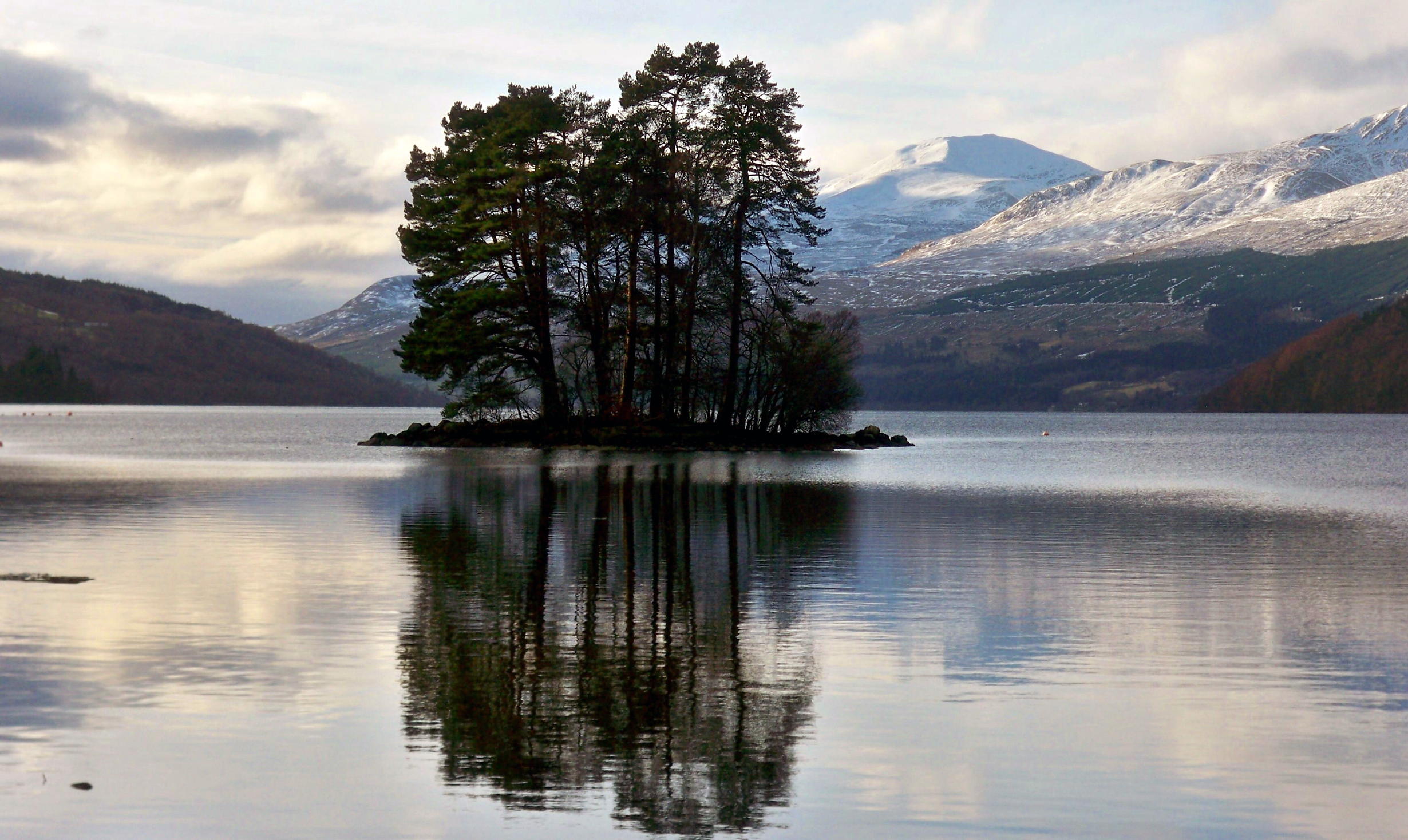
Postscript - as for gorgeous Scottish Highlands scenery, in the Callendar & Pitlochry areas, we were in the Highlands, but didn't know it, due a heavy cloud cover that lasted for our entire visit.
Later at home I found the following web photos of the local Highlands on better weather days.
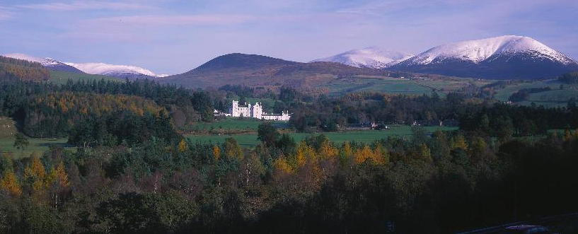 |
low resolution image of Blair Castle, at Killiecrankie |
 |
Loch Tay |
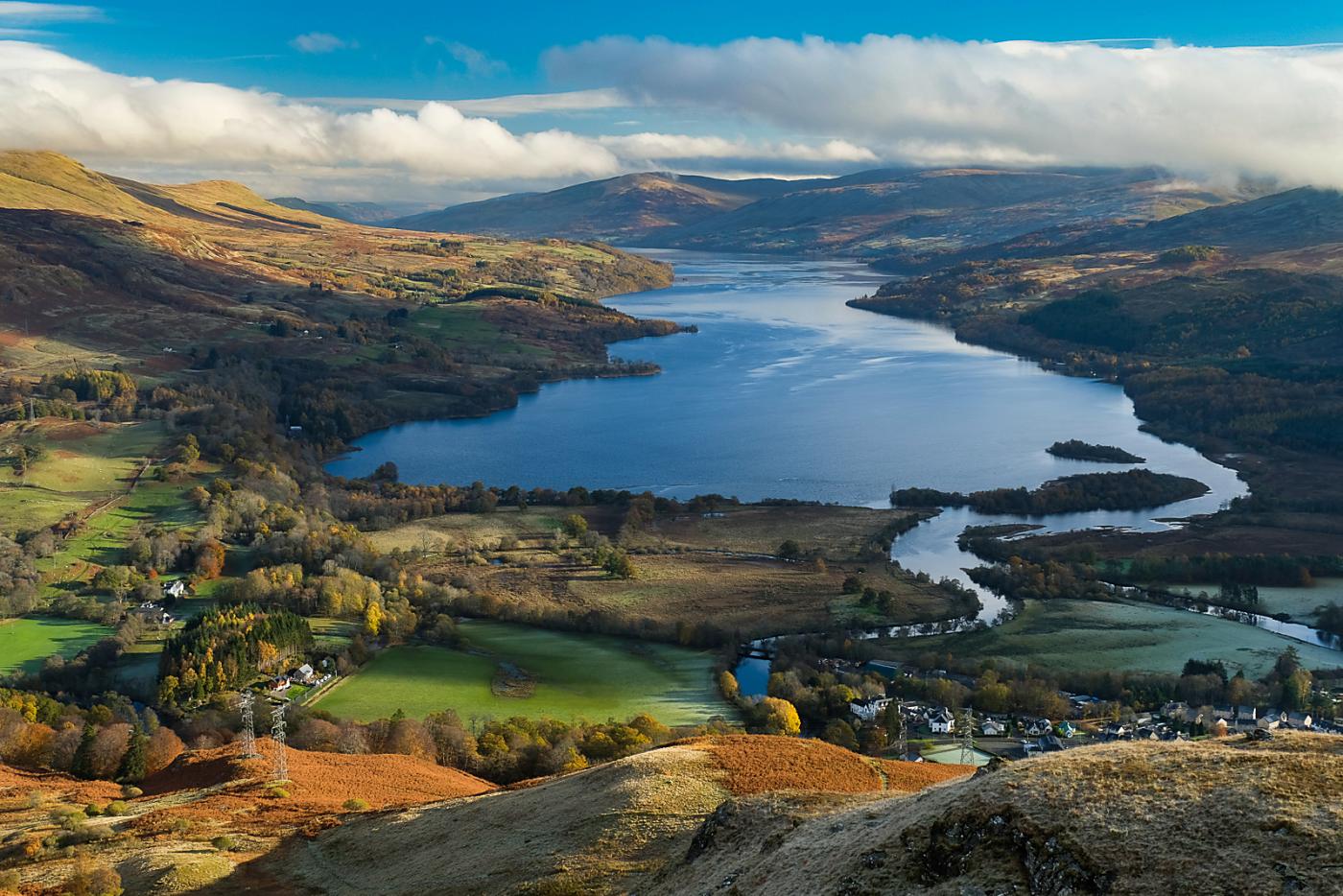 |
Lock Tay with Killin below |
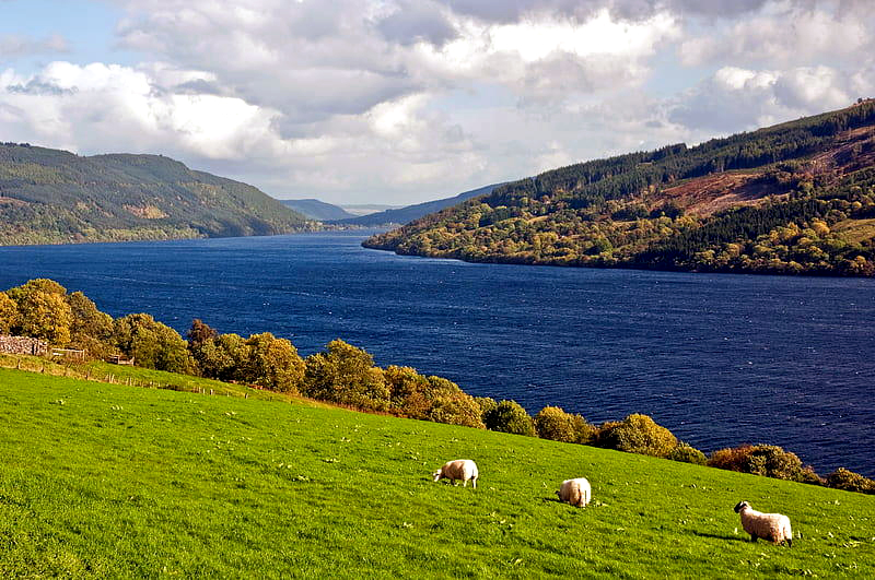 |
another view |
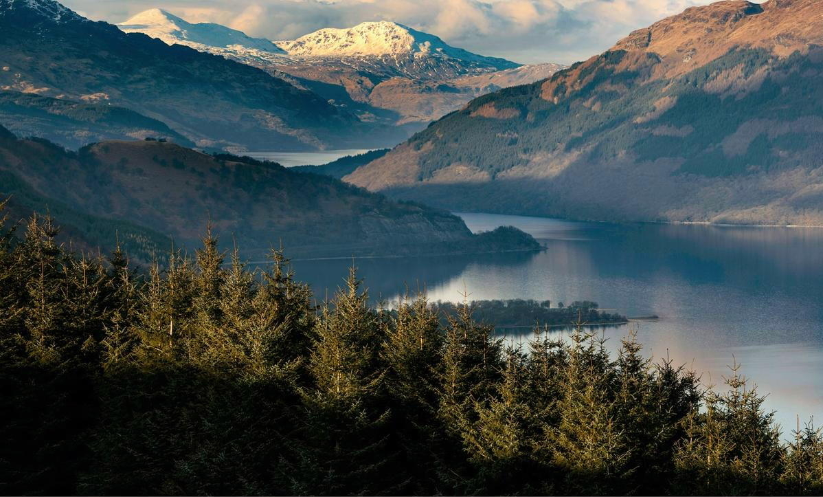 |
upper part of Loch Lomond | ||
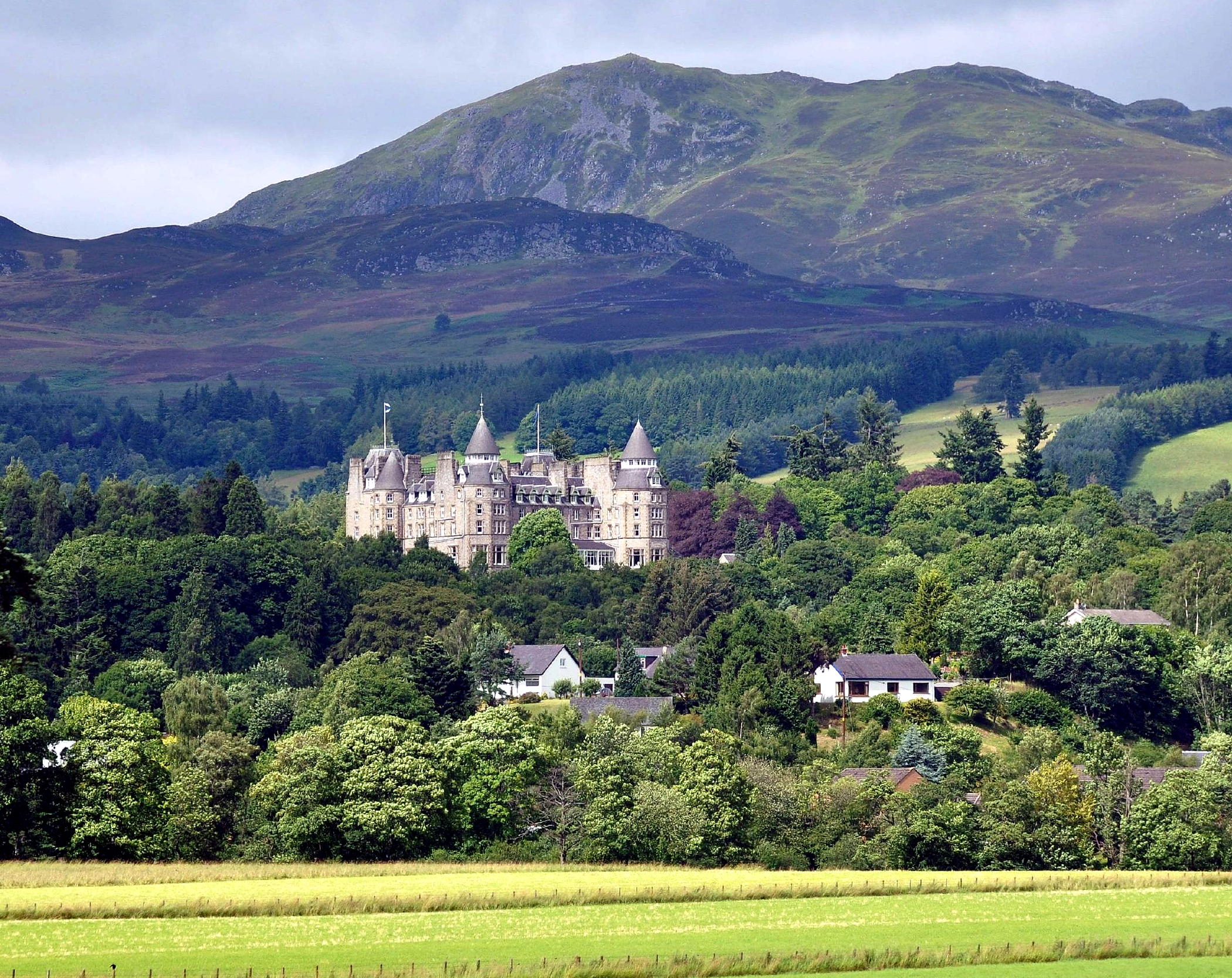 |
Atholl Palace (hotel) near Pitlochry (see next page) |
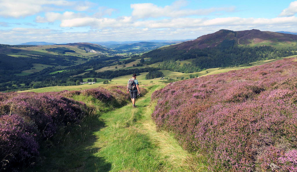 |
walking in the hills above Pitlochry |