Point Reyes - December 2022
return to index
On the Monday after Thanksgiving my wife and I visited the Point Reyes National Seashore (PRNS) area, staying three nights at the Inverness Motel.
The Bovine Bakery in Point Reyes Station was our first stop, only open until 1:30 pm . Then we lingered in some interesting shops on main street until check-in time around 3 pm.
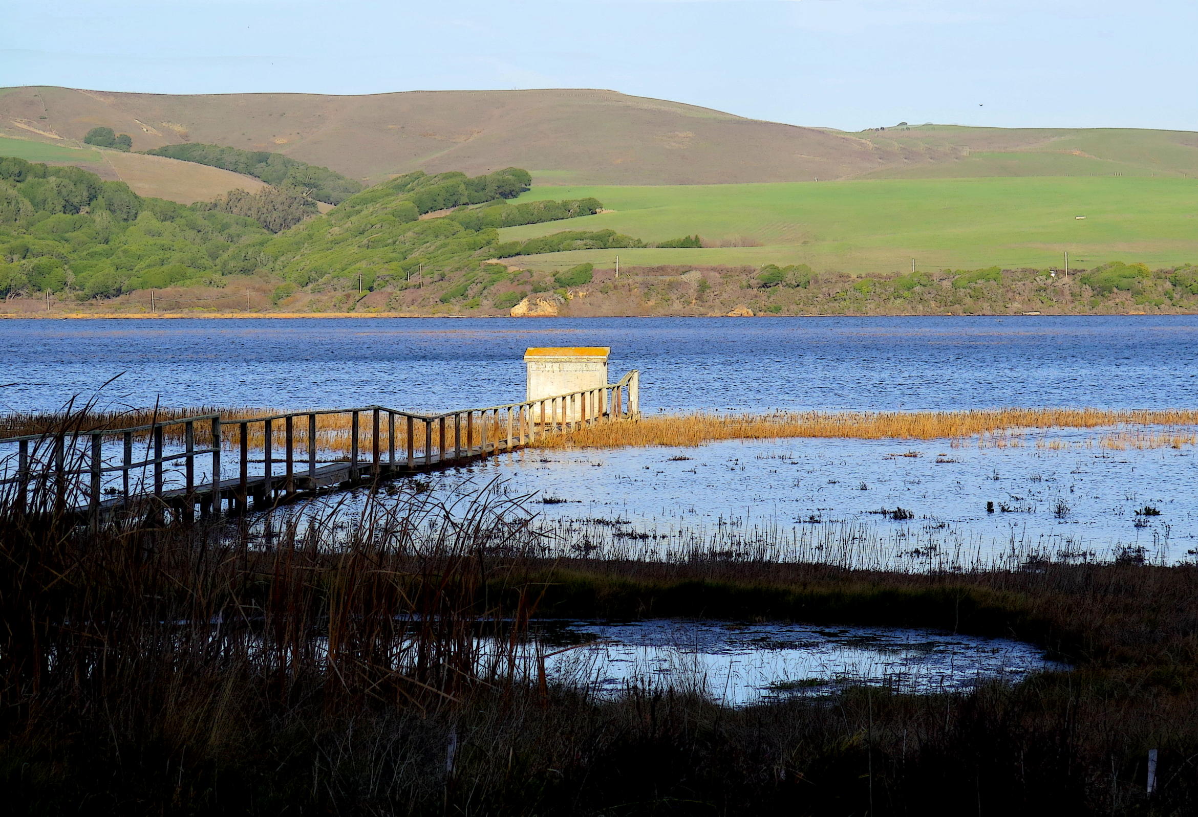
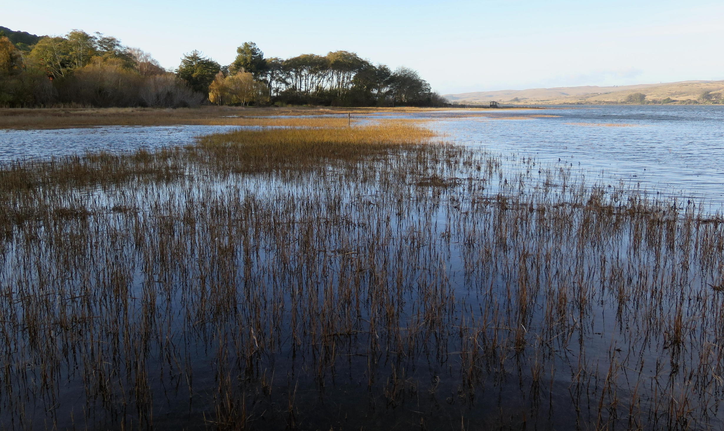
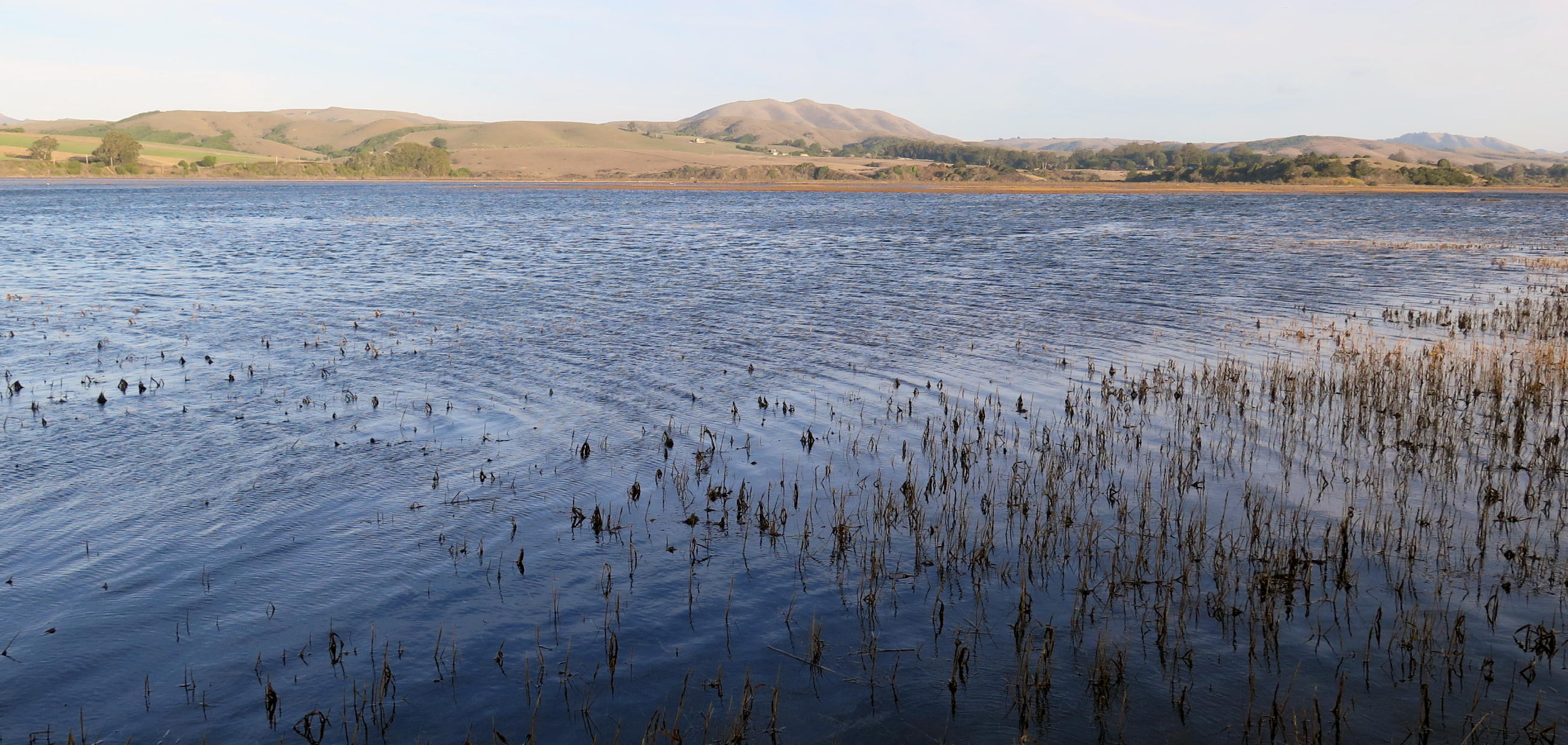
In the backyard of the motel is Tomales Bay & upon arrival we observed the highest tide we'd ever seen here.
note - you can enlarge any part of a picture by left-clicking in and then out again (with some exceptions).
|
|
bird blind on Tomales Bay |
|
looking north |
|
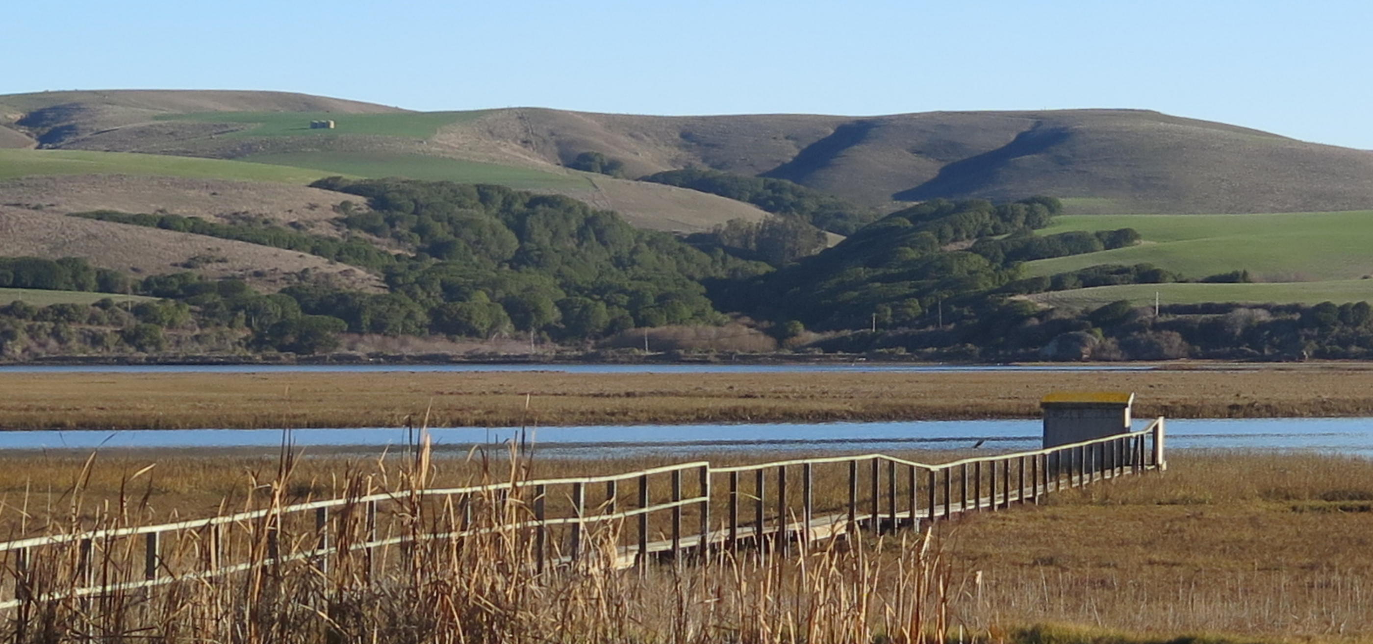
SE towards Black Mountain |
Our first destination on Tuesday was North Beach, where we walked for awhile, seeing only a few others out.
 |
morning view from motel room deck |
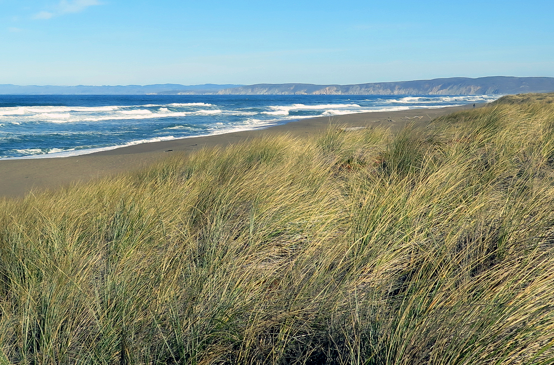 |
North Beach, 15 minutes away |
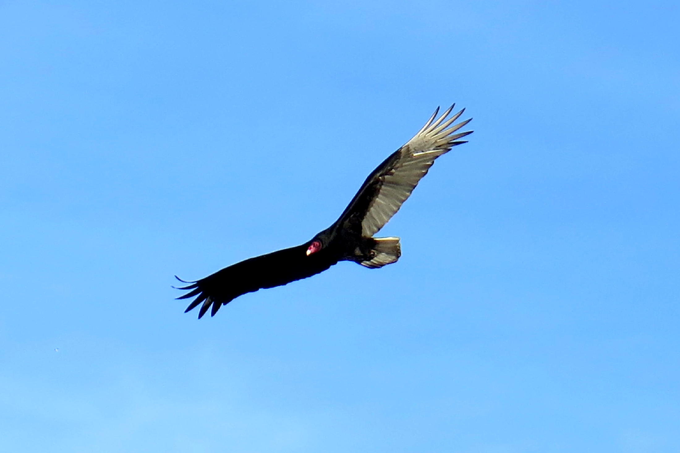 |
turkey vulture |
 |
view to the north |
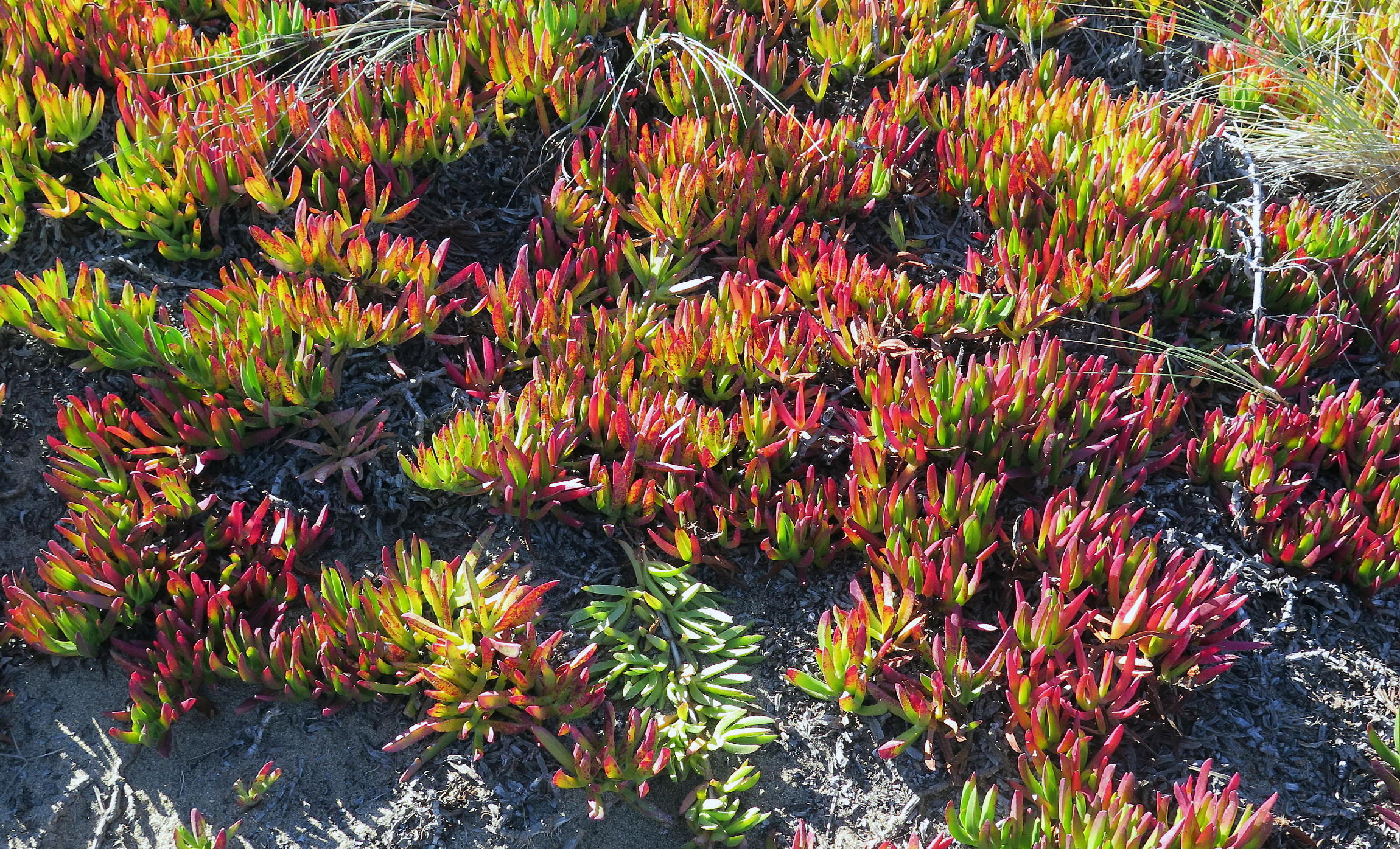 |
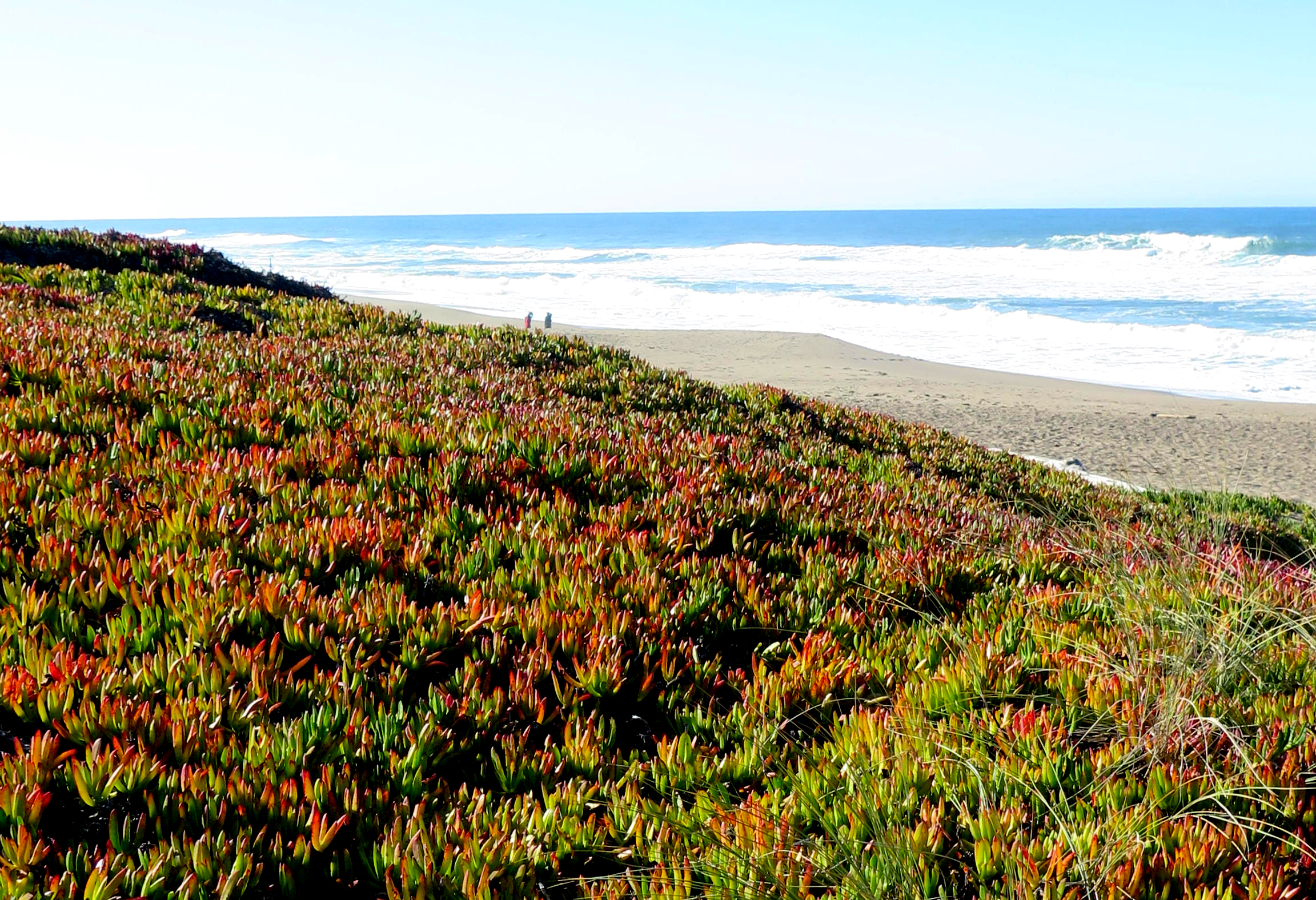
ice plant | ||
 |
again |
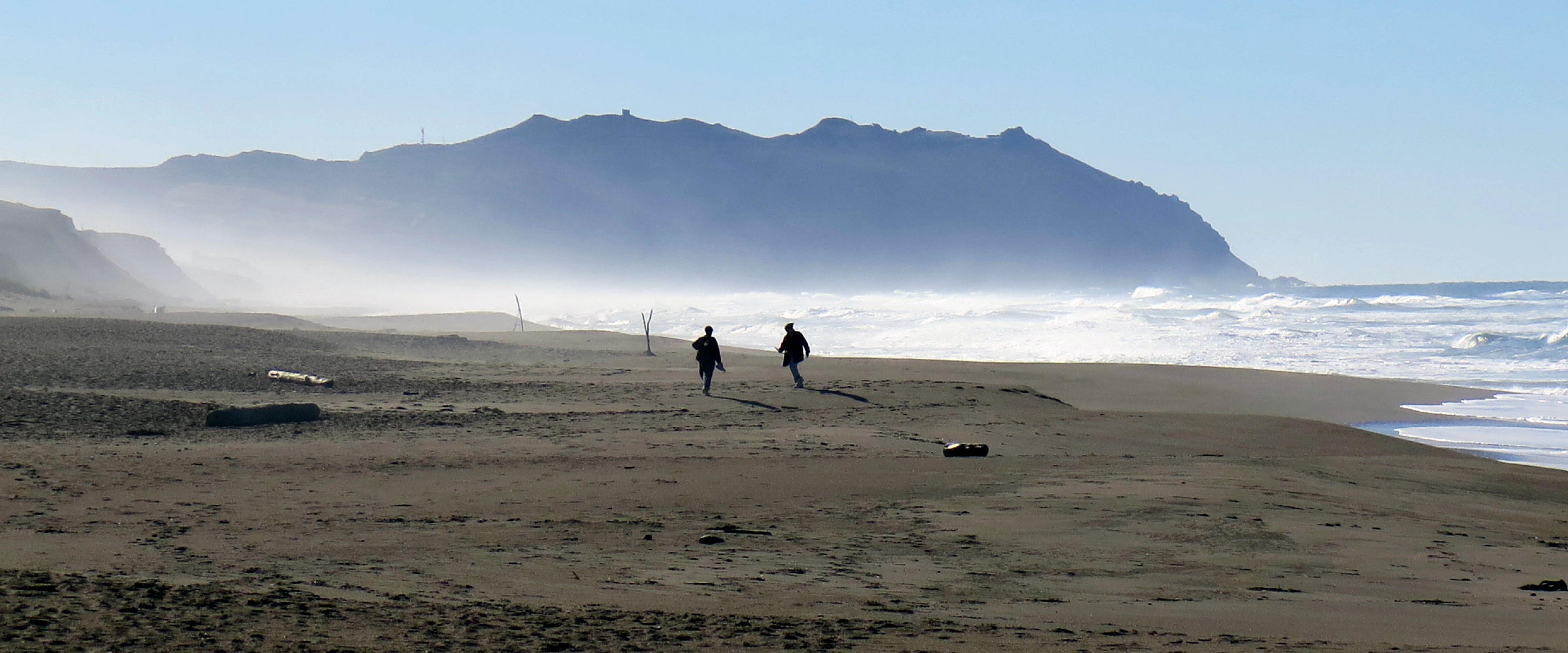 |
sea mist, looking south |
note - Ice Plant is a South African plant, and although attractive, is an invasive non-native. The PRNS had a successful project a few years ago to eradicate ice plant from the dunes at Abbott's Lagoon, but it remains at North & South Beach areas.
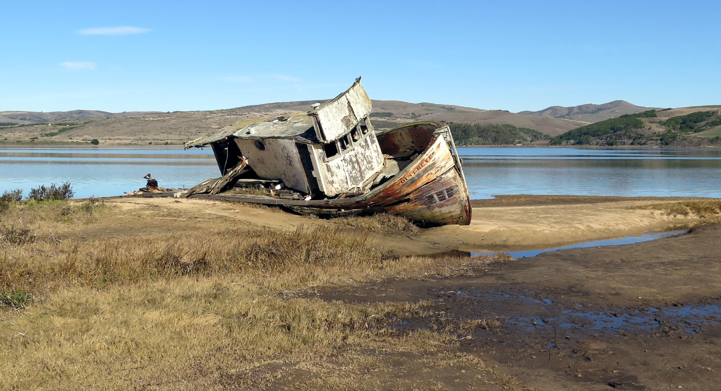
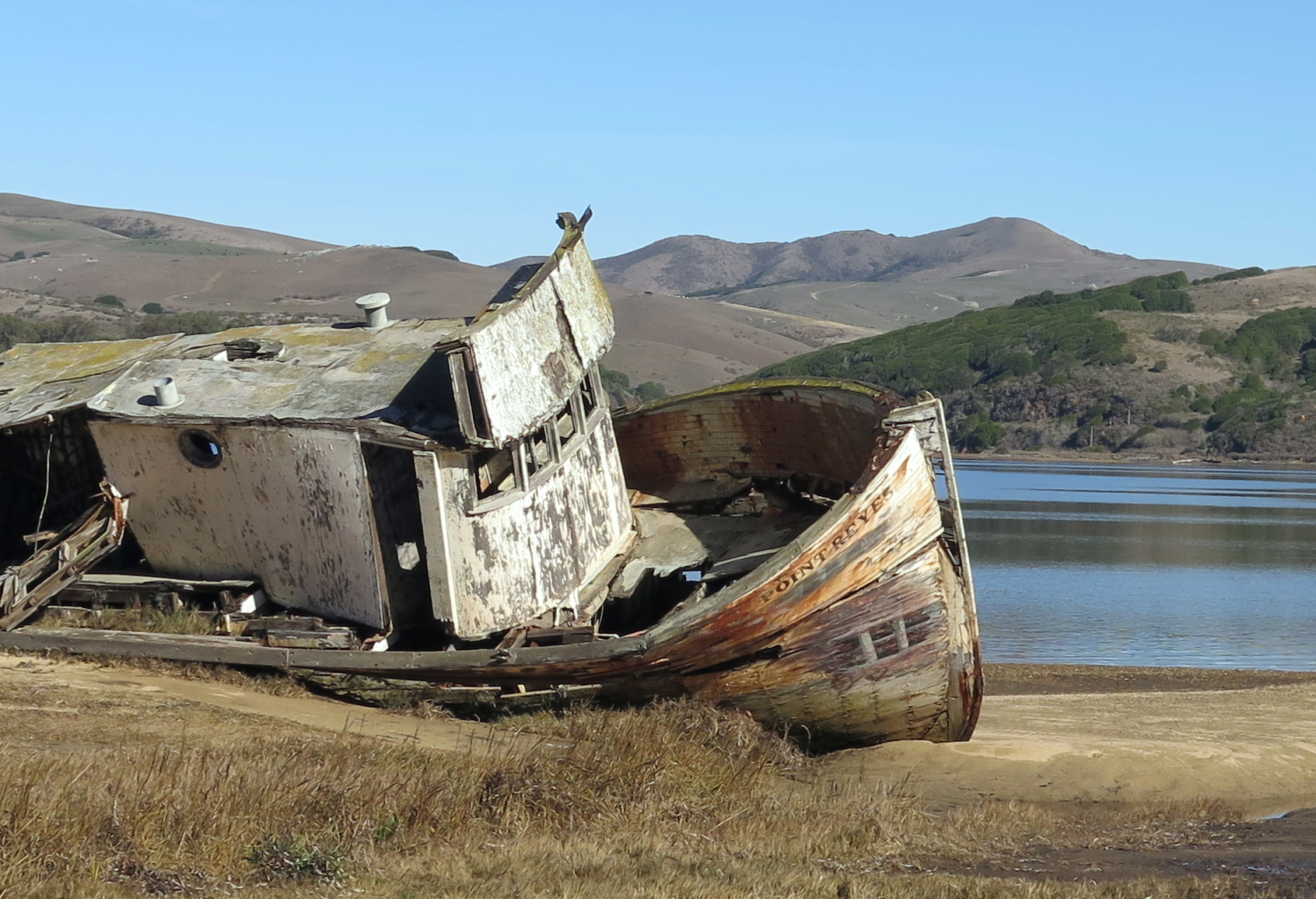
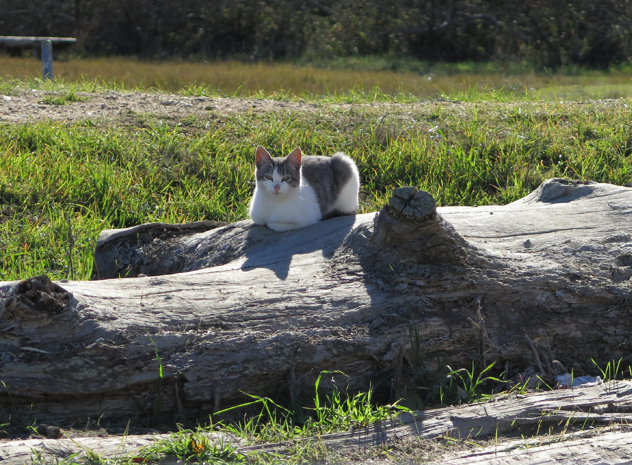
Later we stopped in the mini-town of Inverness, so I could get a few photos of the old boat Point Reyes, which has been weathering on a sandbar, behind the nondescript grocery store, for decades. A photo of the boat has been on my homepage since fall 2001, when this website was launched.
Linda pointed out the healthy looking kitty, sunning on a log.
 |
old boat Point Reyes |
 |
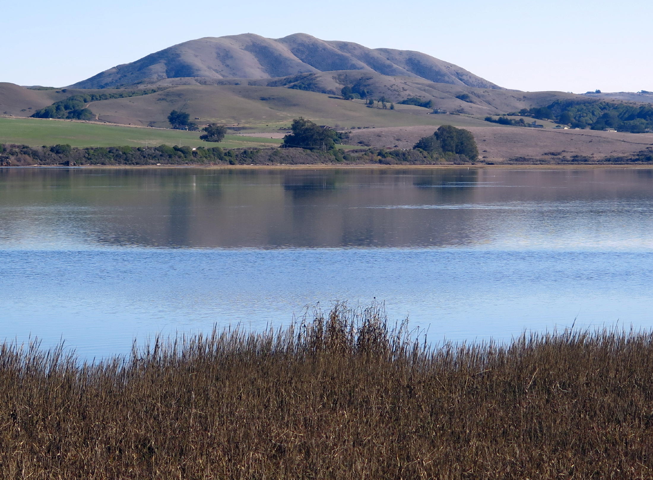 |
Black Mtn. again |
 |
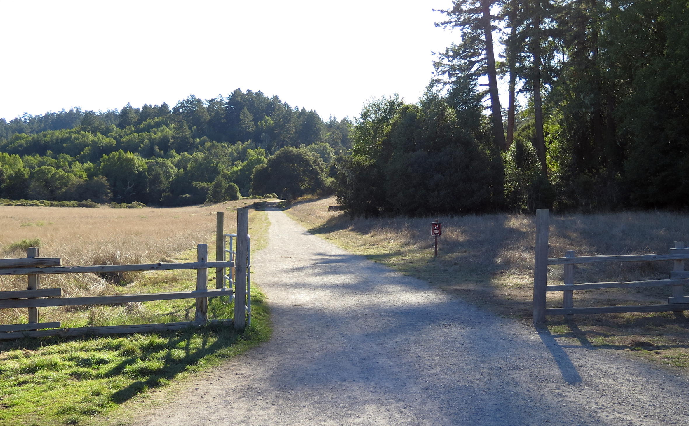
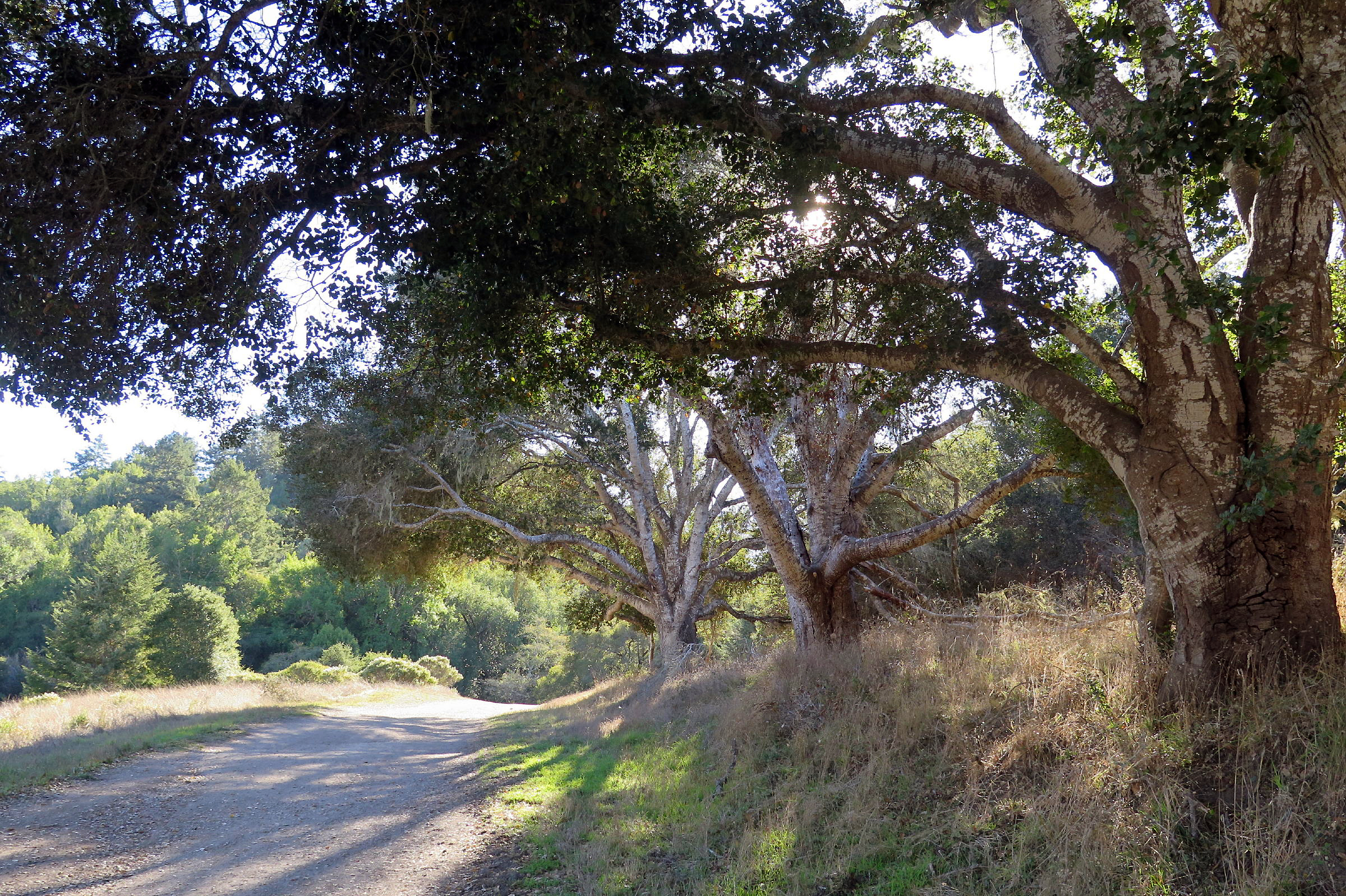
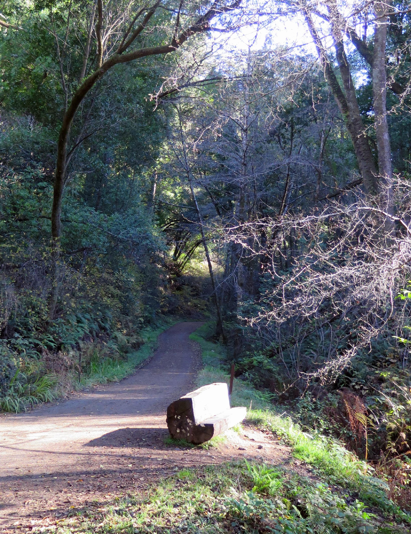
Next we parked at the PRNS Visitor Center and walked on the Bear Valley trail. To the Pacific & back is 8 miles.
We were on a gradual uphill slope for more than an hour before turning back. We only saw a few walkers or horse riders out, and no bike riders, a very low-key day for such an immensely popular trail !
 |
start of the walk |
 |
winter's angled light |
 |
a great walk, any time of year |
 |
looks charming but is uncomfortable |
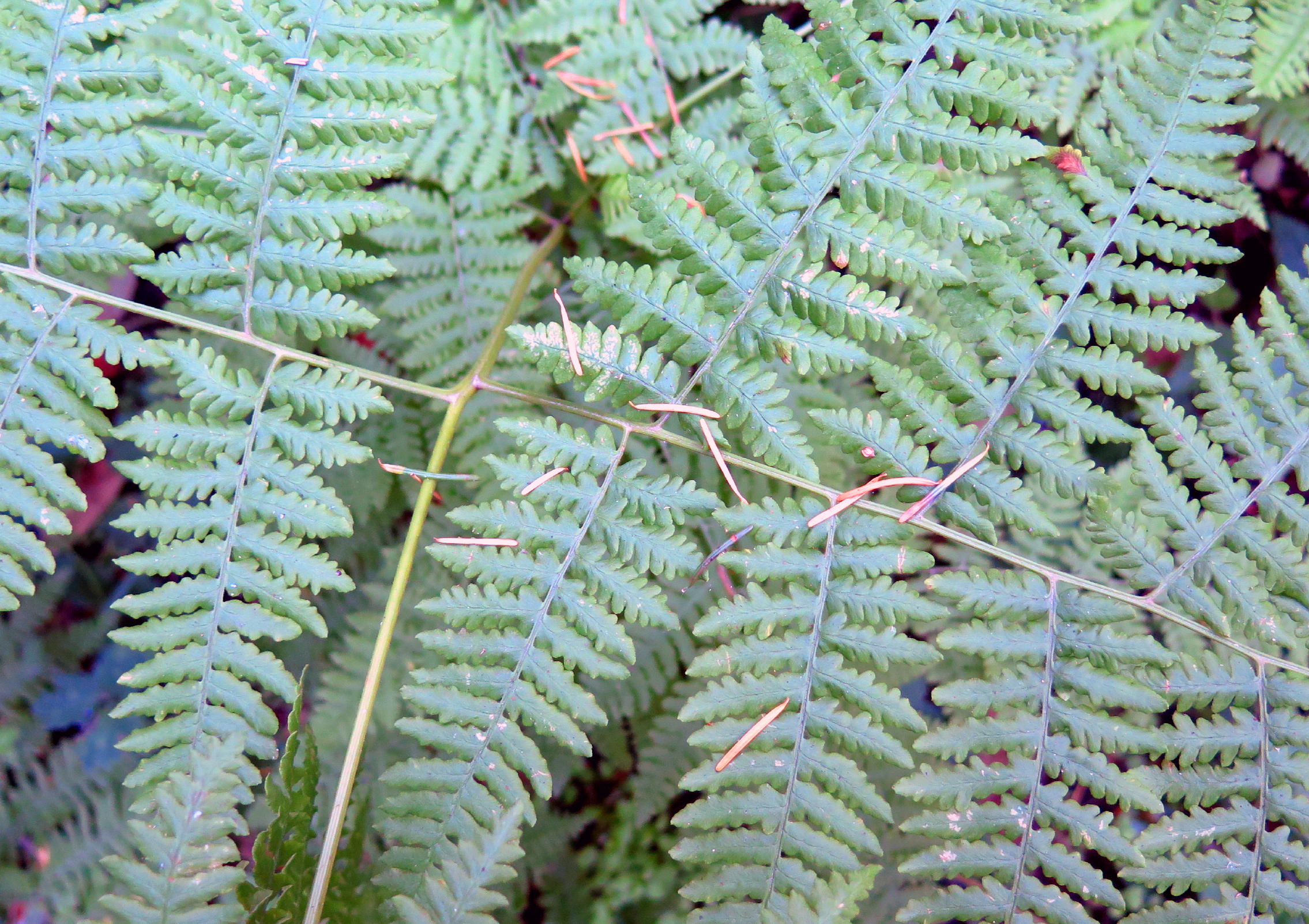 |
Bracken fern |
 |
|
 |
skinny Alder woods ahead on left |
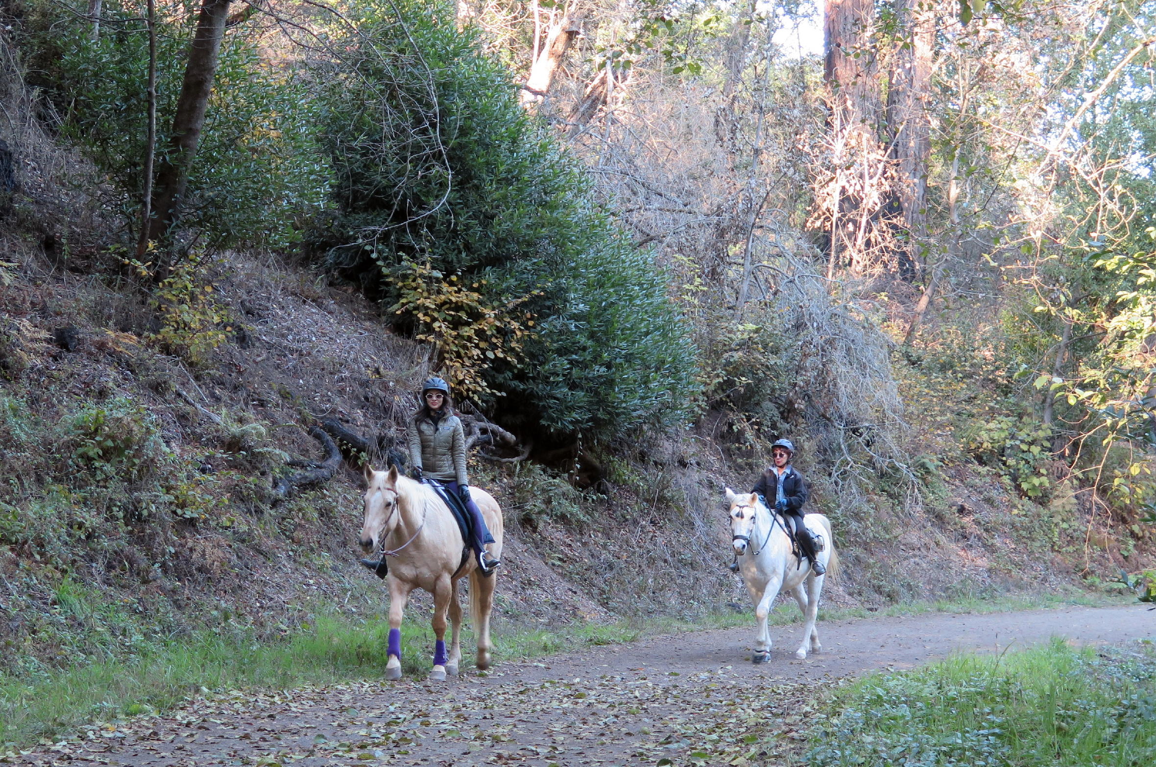 |
equestrians |
Food blab - on the first two nights we had an early dinner in Pt. Reyes Station, at the Station House Cafe. On the third evening we went to the newer Side Street Restaurant for take-out. Each tends to be open when the other is not, and they also overlap, which works out nicely for visitors, and both have really good menus.
The one & only breakfast source in the area these days is the IP Market, in Inverness Park. You can customize their breakfast burritos, which are great. Two mornings in a row, around 9:30 am I placed a phone order & immediately drove there, 1.1 miles & only a few minutes away, and the order was ready. Almost no other cars were parked there.
"The advantages of being off-season", no doubt, but, for the sake of the friendly people who work there, I was glad to see later that it is much busier around lunchtime. The parking area was full of Contractor trucks which reveal that home renovation is a constant, here.
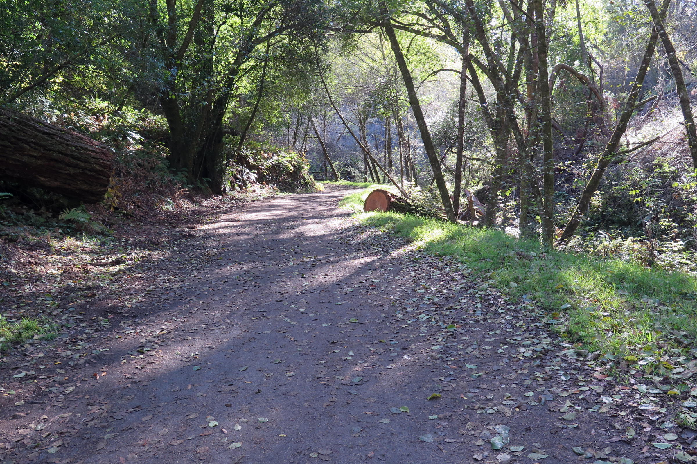
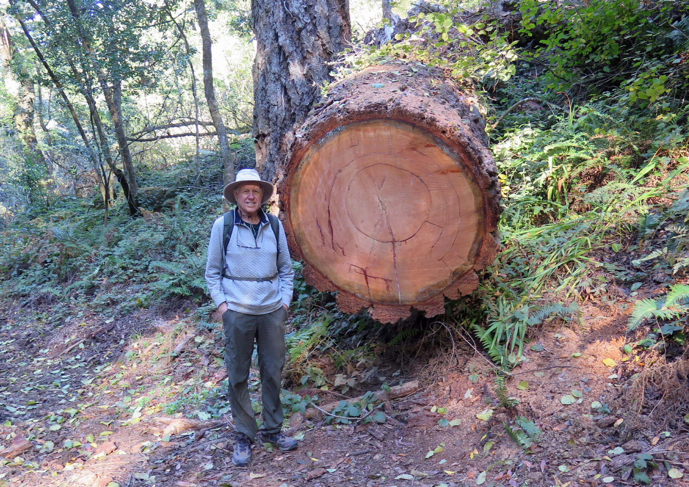
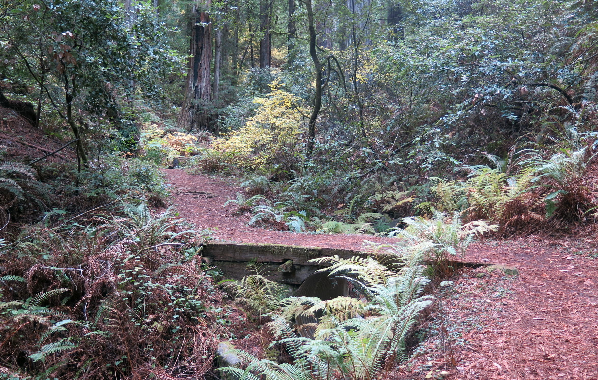
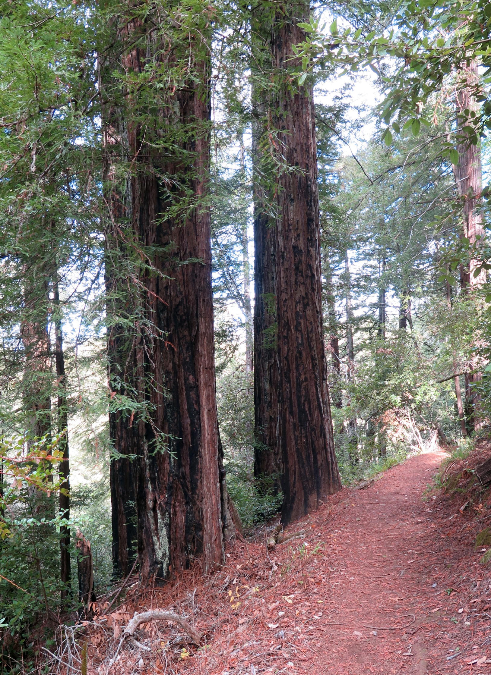
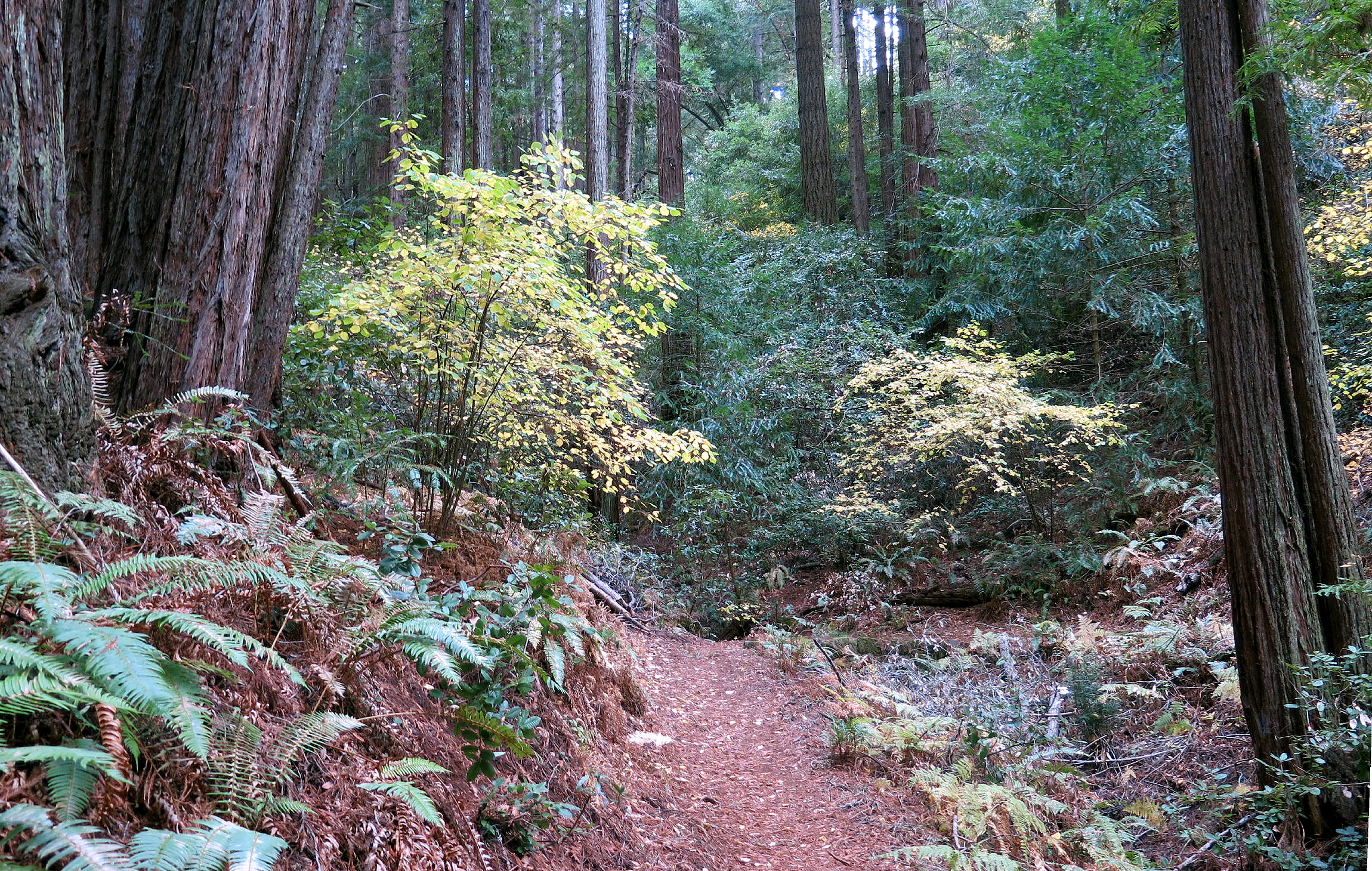
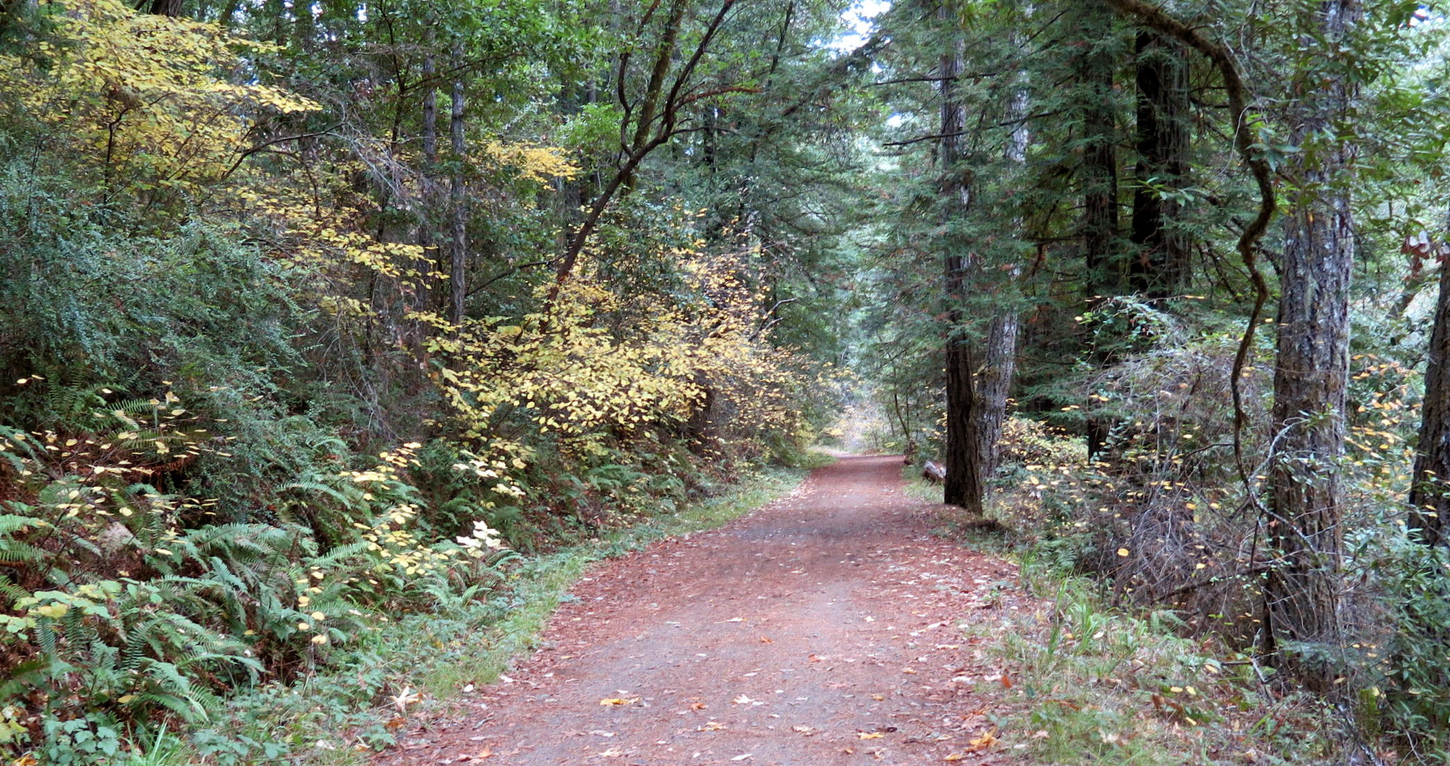
On Wednesday, we drove a few miles to Samuel P. Taylor State Park to walk the woodsy Pioneer Tree Trail.
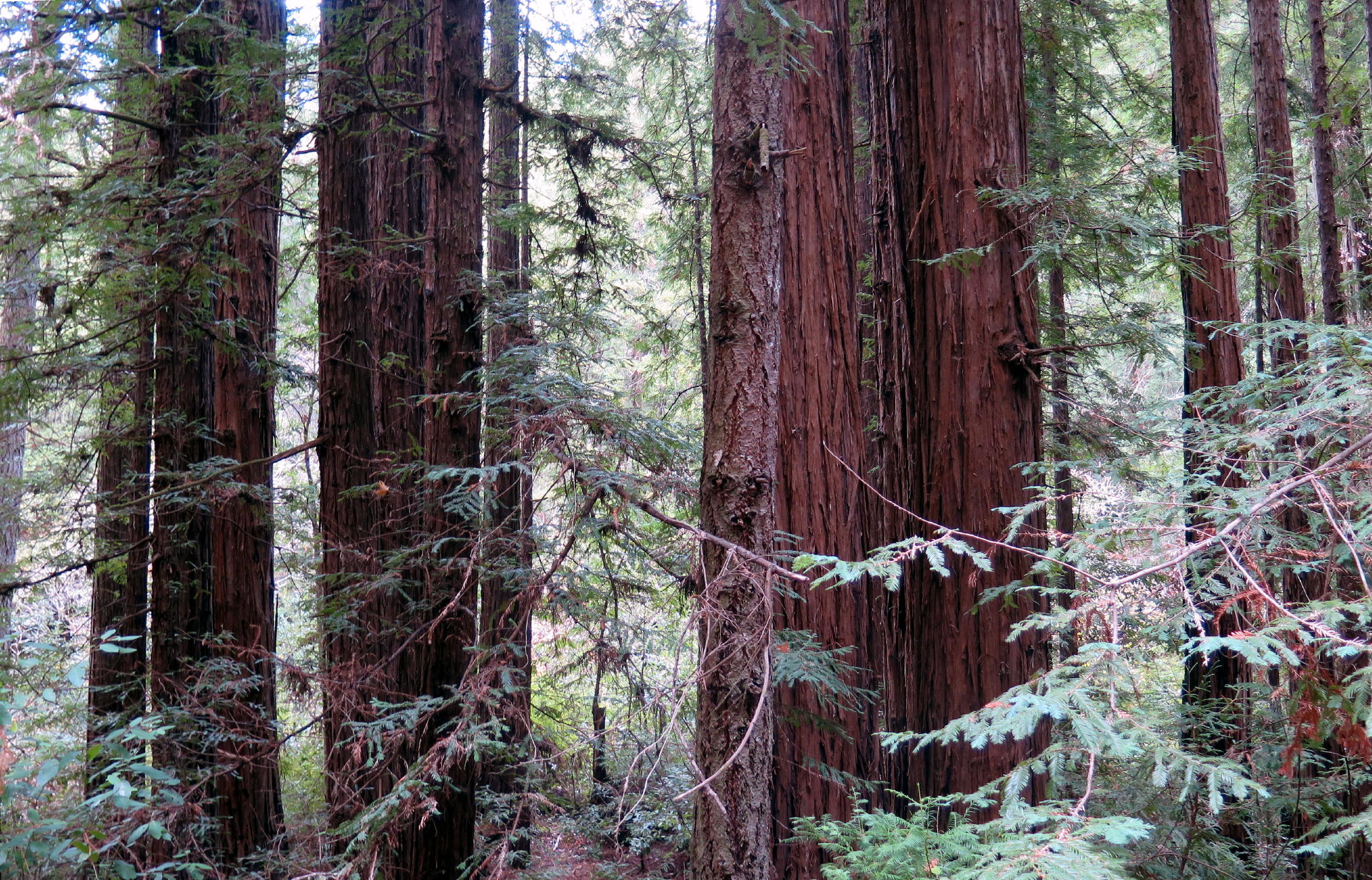
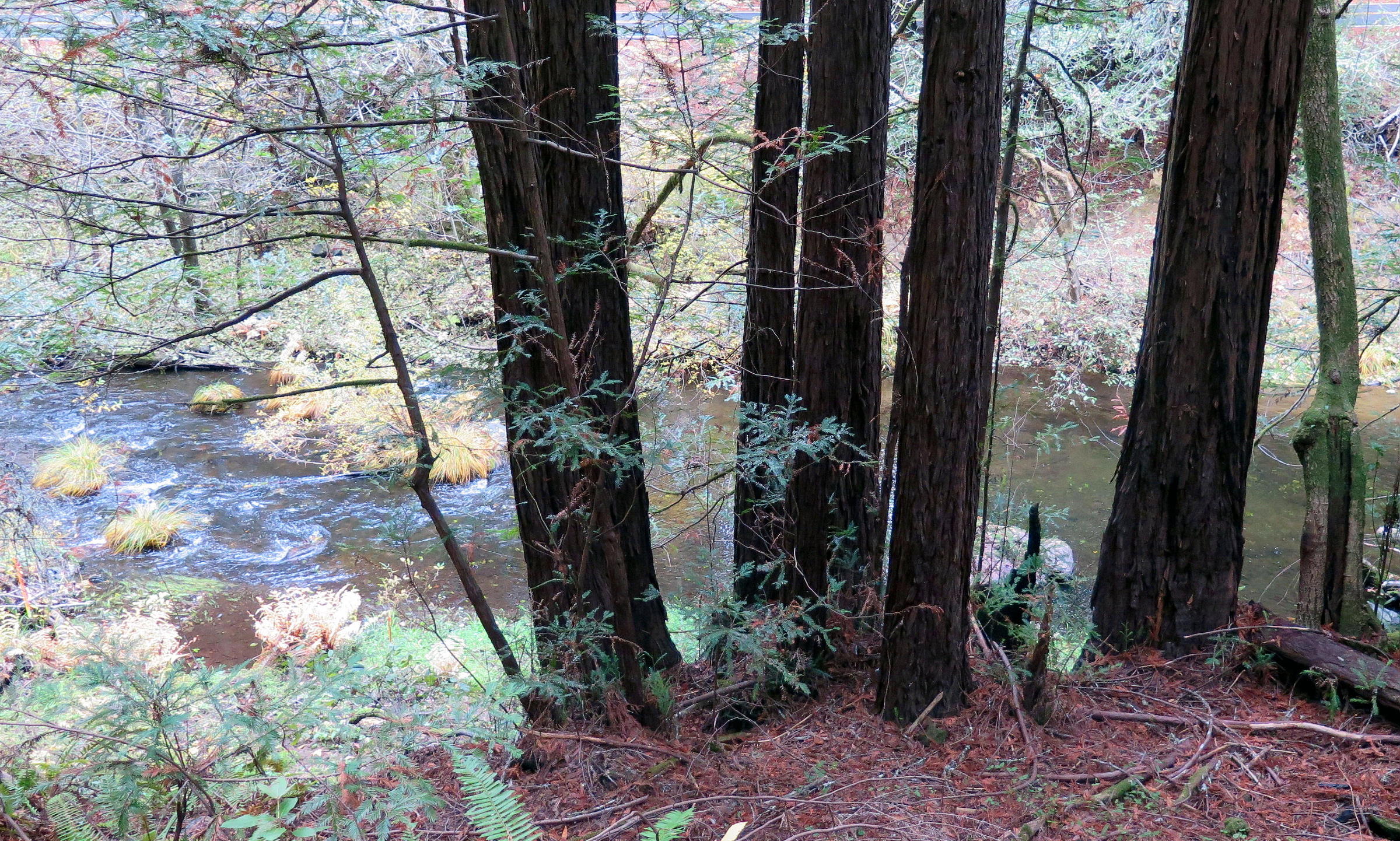
While there are no redwood trees in the PRNS, they thrive along nearby Lagunitas Creek, protected from the elements by Bolinas Ridge above.
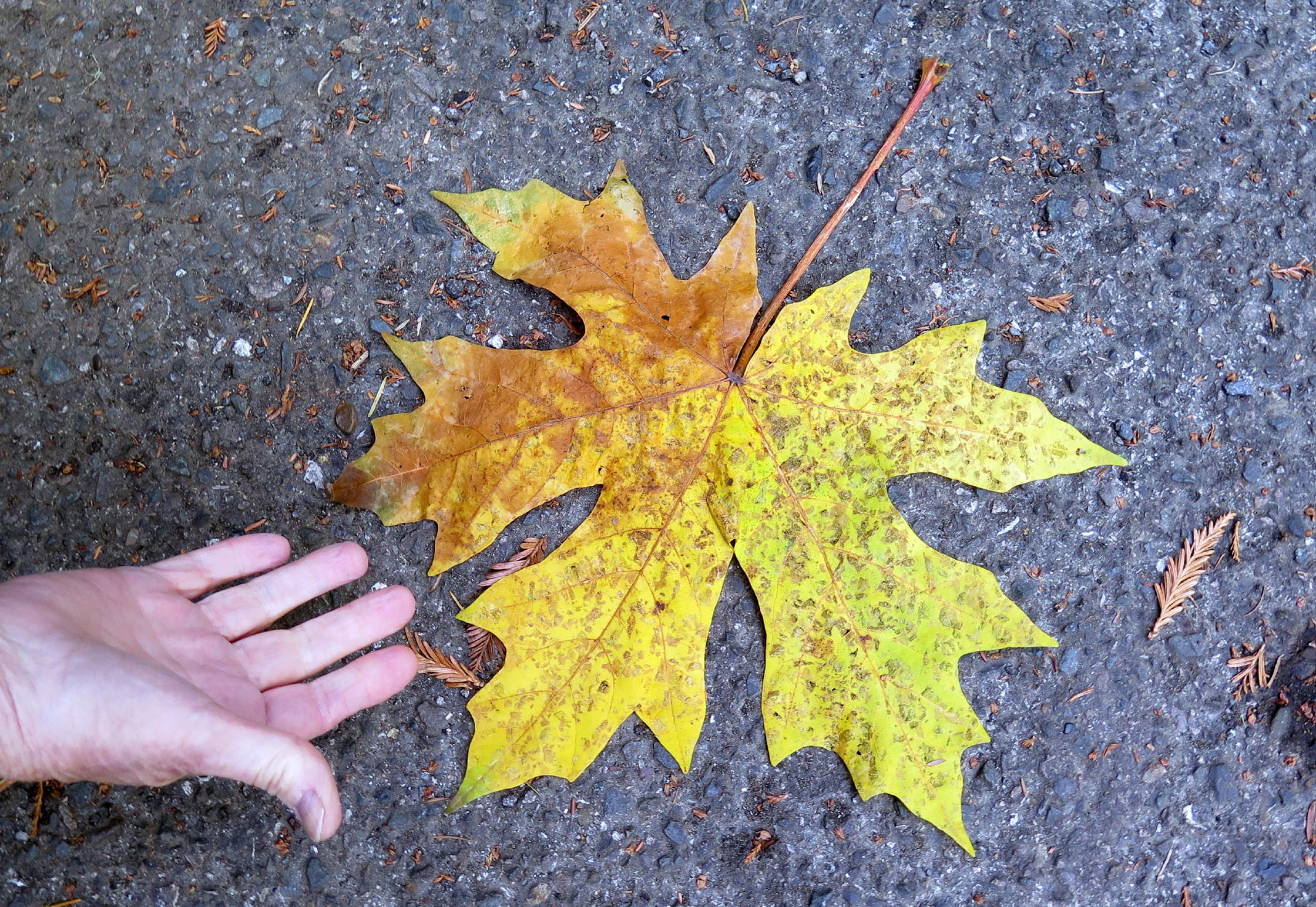 |
Big Leaf Maple, a California native (& my wife's hand) |
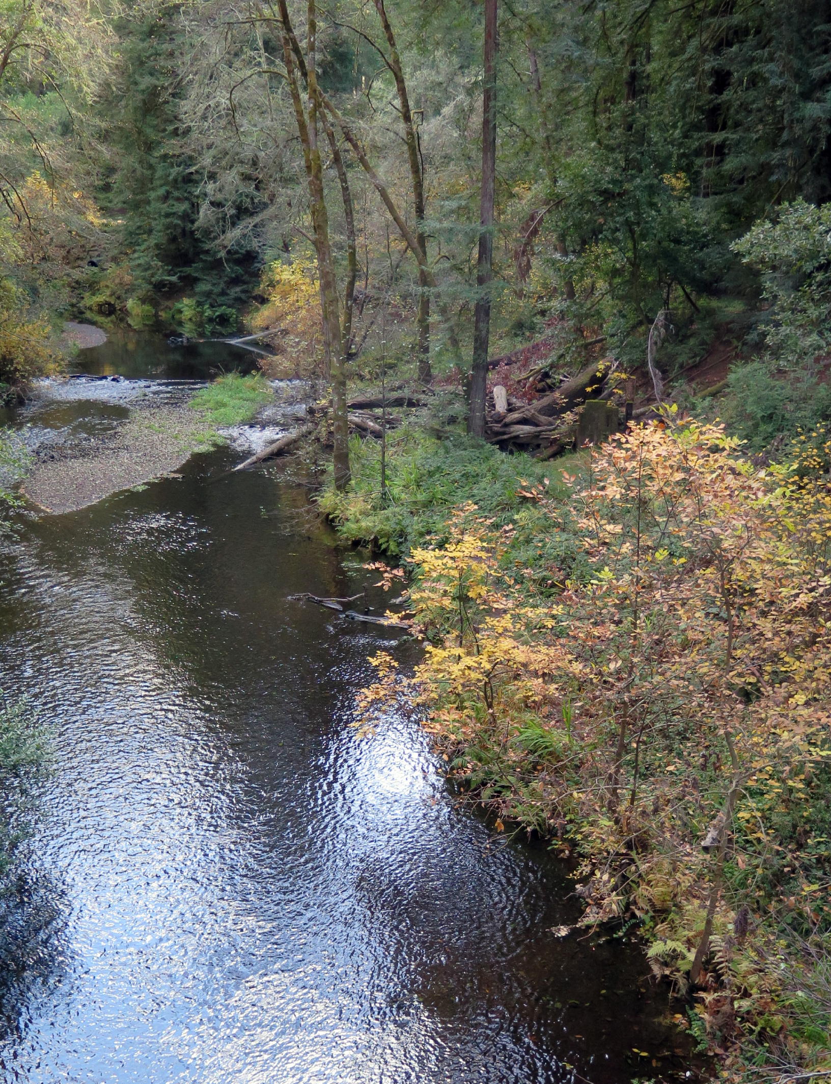 |
Lagunitas Creek |
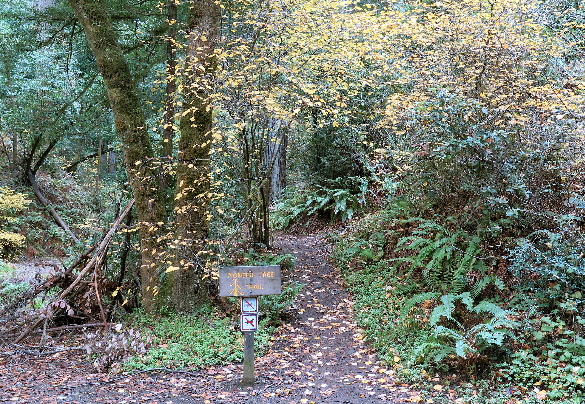 |
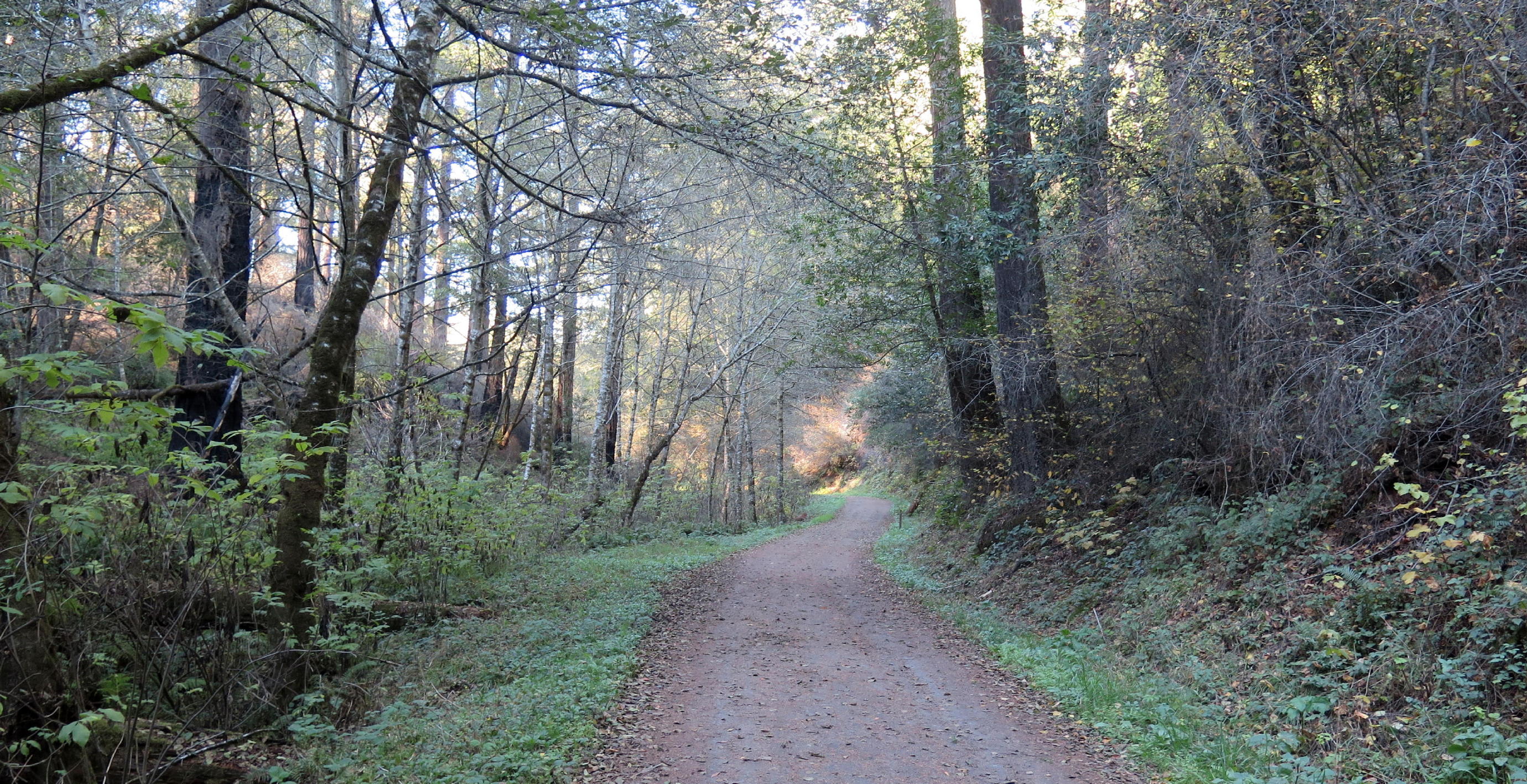
start of the Pioneer Tree Trail |
 |
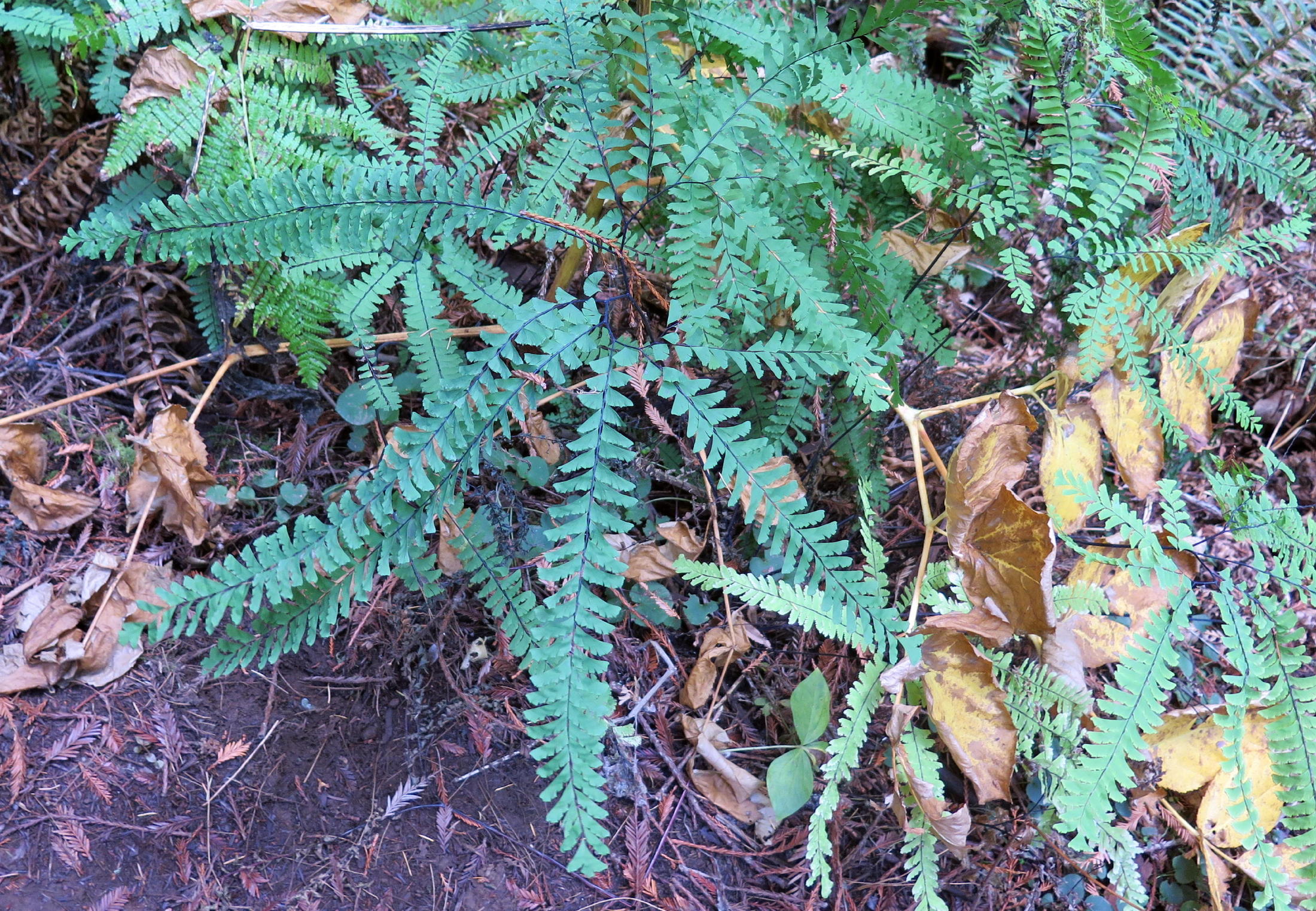 |
Aleutian maidenhair fern |
 |
||
 |
coast Redwoods |
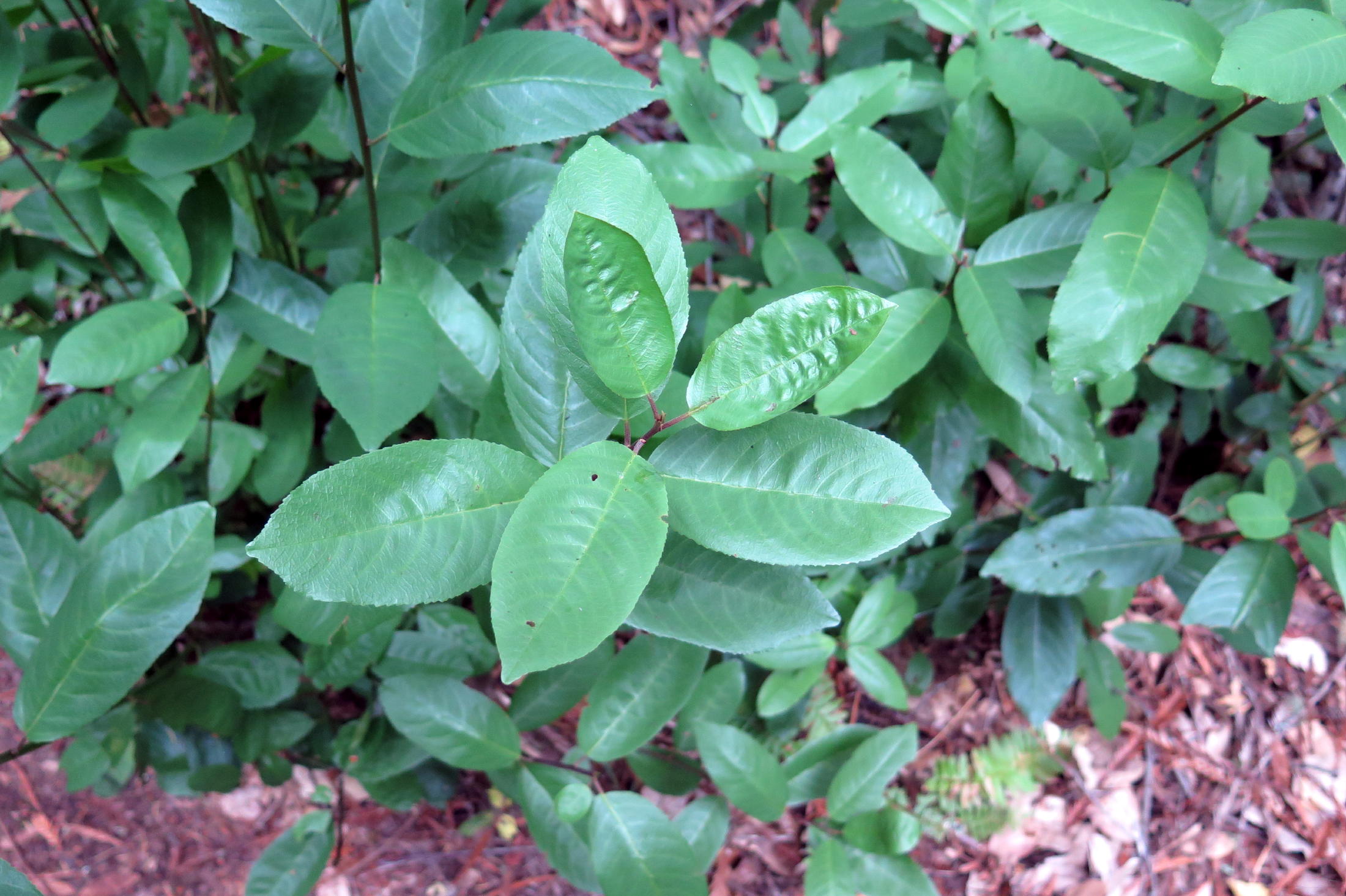 |
Ca. Coffeeberry |
 |
|
 |
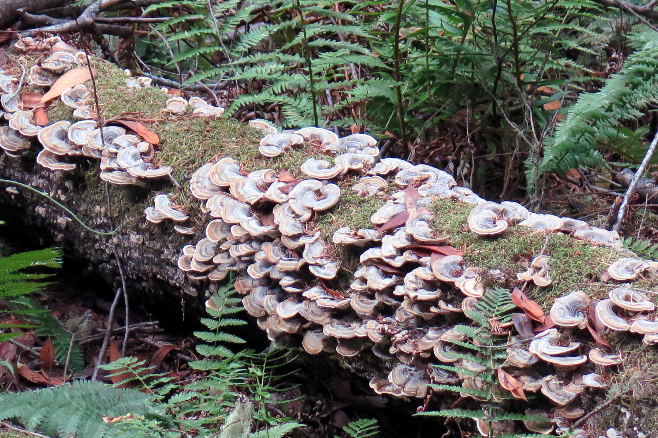
Polyporaceae Fungi |
 |
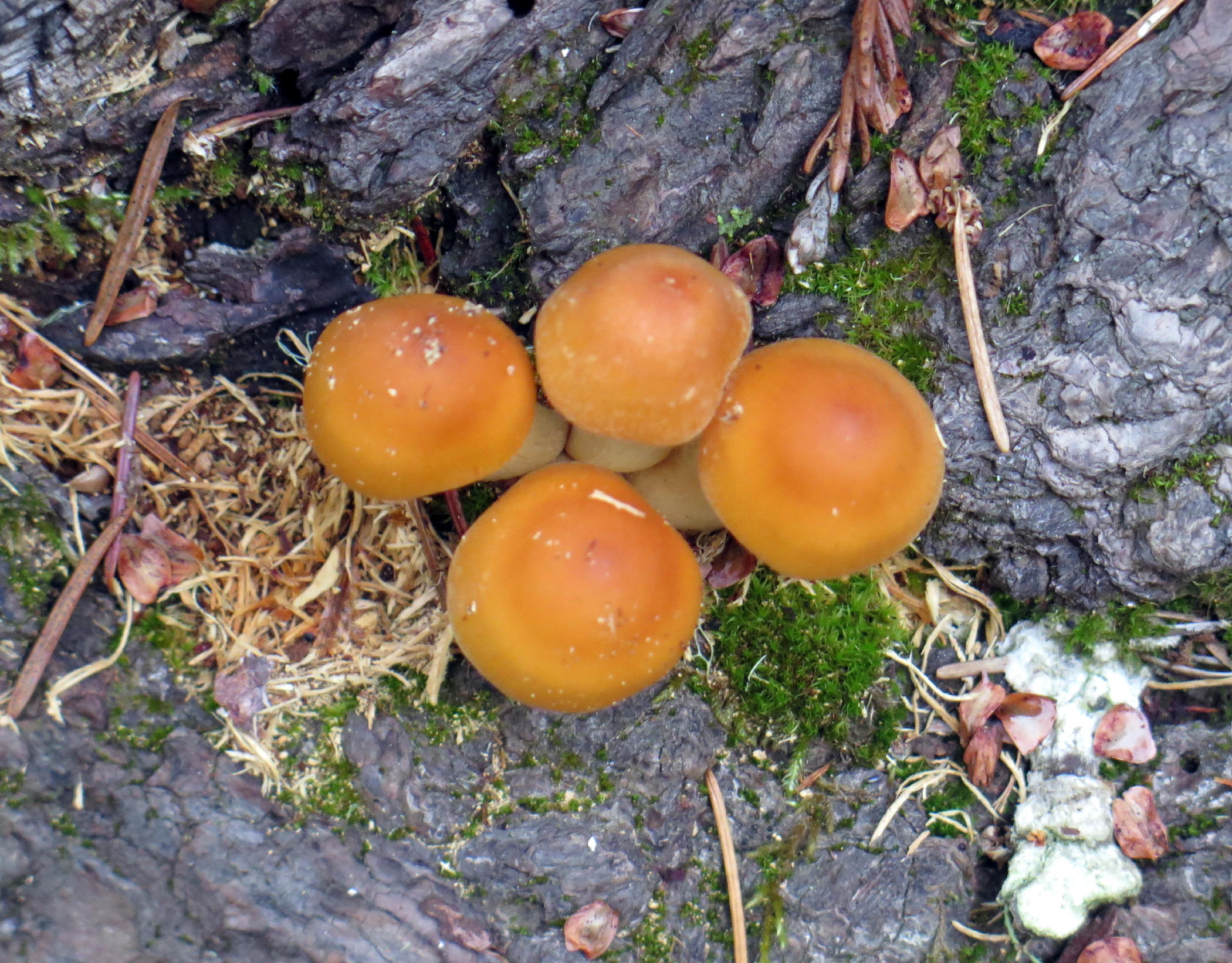
Hymenogastra-ceae (mushroom) |
 |
|
 |
Lagunitas Creek again |
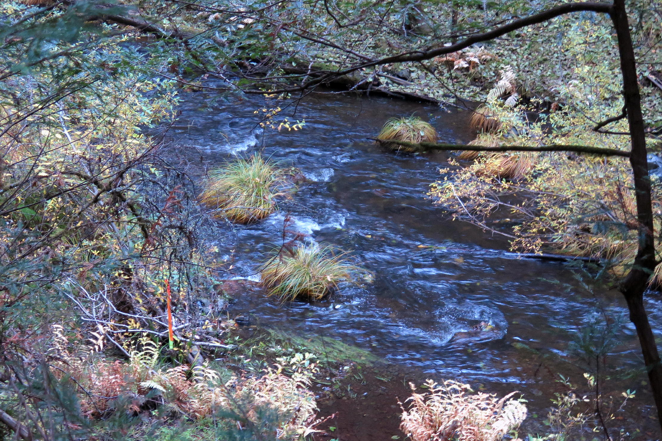 |
tufts of grass growing in the creek |
 |
old North Pacific Coast RR grade (see Postscript) |
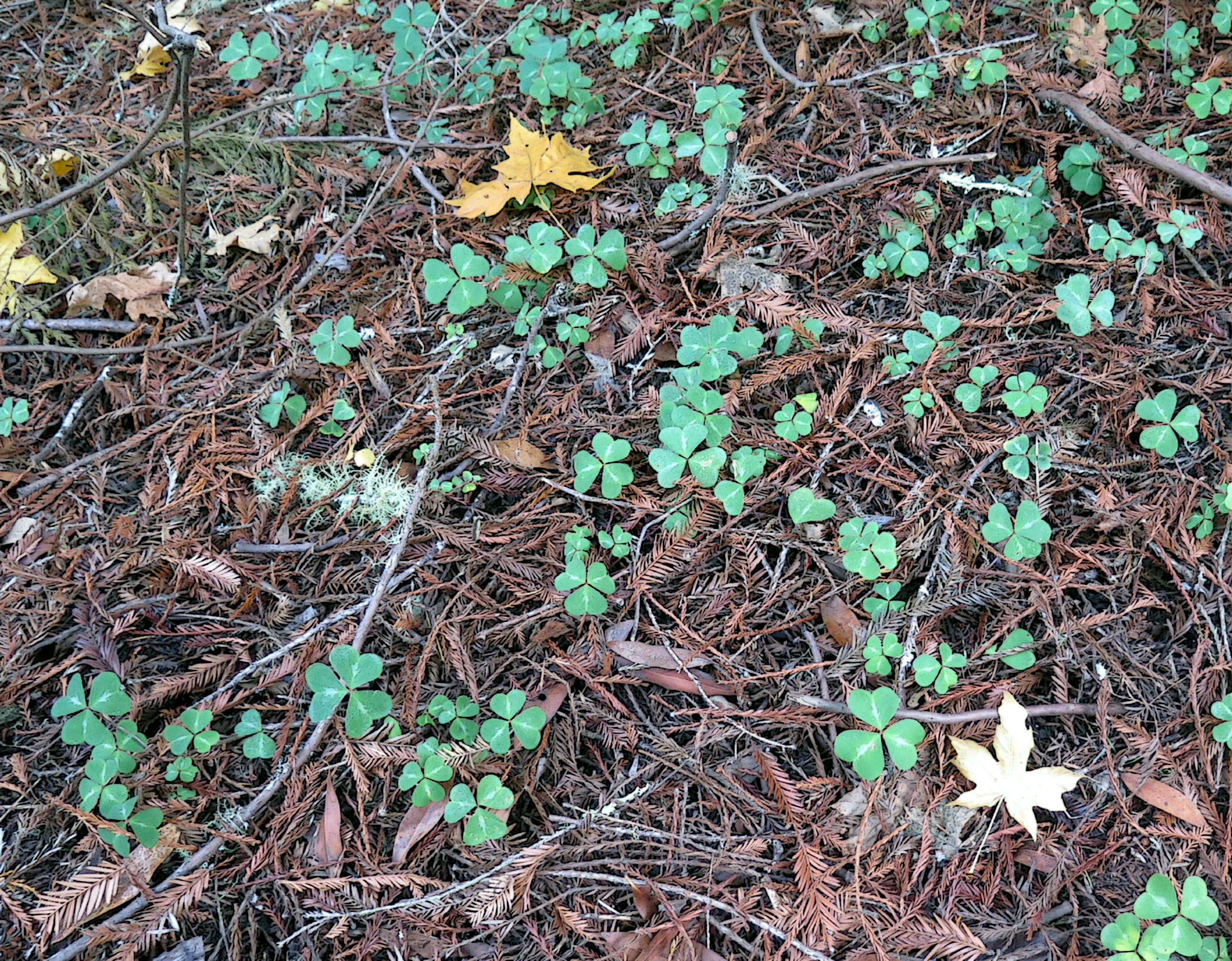 |
redwood sorrel |
The loop walk was about 3.5 miles with minor elevation gain. We saw one group of 6 or 7 women hikers, all pleasantly attired, and only a few others on the trail.
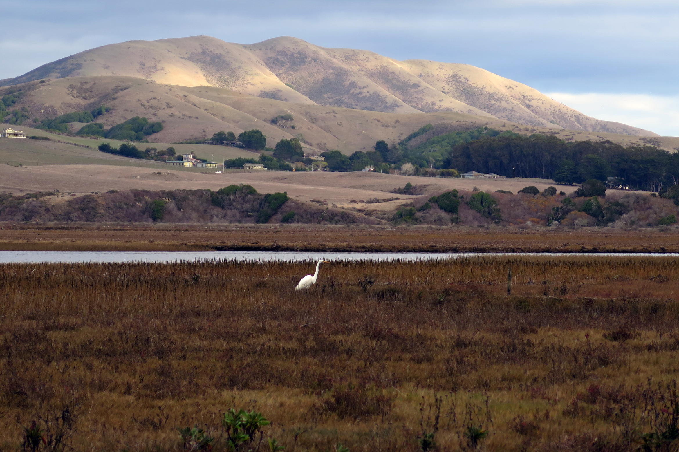 |
egret & Black Mountain, see note |
note - Just after this late afternoon photo was taken, storm clouds rolled in for the night. Around 4 am, heavy rain pounded on the skylights, like hammers, for about 10 minutes.
On Thursday morning, we had breakfast to go at the Bovine Bakery, on our way out of town. Then it was a rainy drive, on the freeway, often a slow crawl. Mist from big rig truck tires made it hard to see, at times.
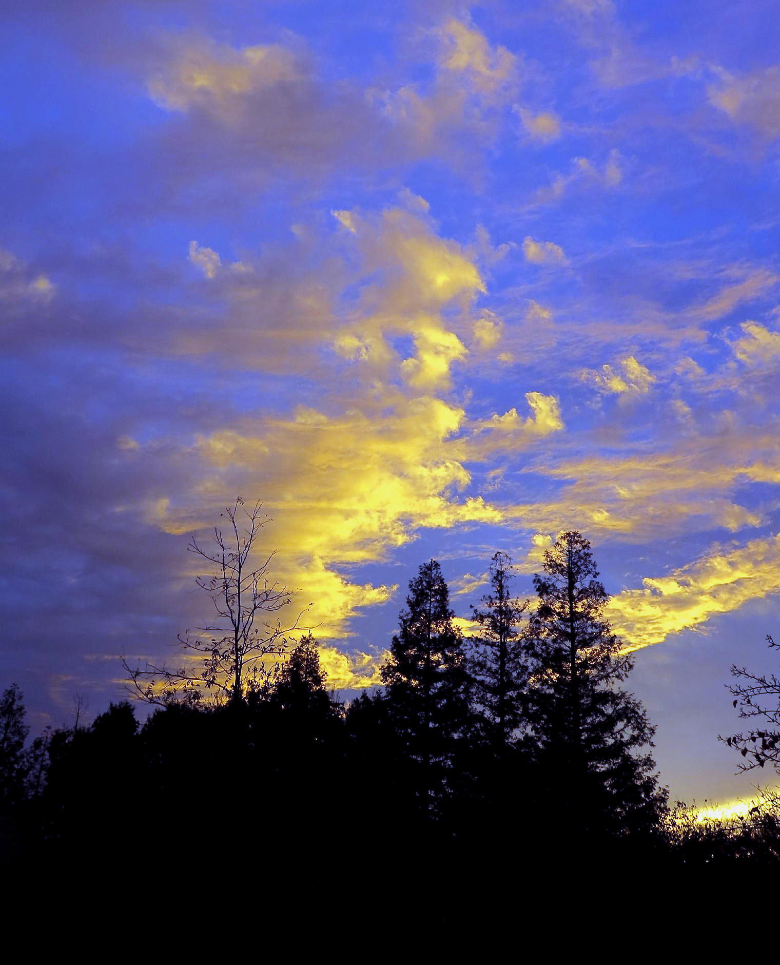
Once back home the storm blew off & the sky cleared just before sunset, a good end to the mini-trip.
 |
We are both grateful to a special relative who house sat for us.
Photos were taken with a Canon G16. Some plant names were provided by the Pictures This phone App, or by Rich.
return to index
Postscript - Samuel P. Taylor grew on the Hudson River in New York, where his father owned & operated a successful paper mill. When Sam turned 22, in 1849, he caught gold fever, from reading the news. He purchased an ocean-going schooner, and with some friends sailed (via the treacherous Drake Passage) to San Francisco, where he lived & worked for the next two years.
In 1852, at the height of the gold rush, Sam relocated to Tuolumne County, in the Sierra foothills, and became a successful prospector, eventually trading 21 oz. of gold dust for $3,800, worth $400k in 2022 dollars.
In 1856, Sam purchased a hundred acres on Lagunitas Creek, and built the first paper mill on the west coast. Until then, paper came only from the east coast, or, was imported from Europe, so it was a hugely successful business venture, and the town of Taylorville grew up around the mill.
A new era dawned in West Marin in 1874 when the narrow-gauge North Pacific Coast RR began operating, from Sausalito to Point Reyes Station. The RR station at Sausalito was close to the SF Ferry dock, so commerce immediately flourished, as did tourism.
Seeing an opportunity, Sam created Taylor Park, the first camping/fishing/hiking destination in the area, with tent or cabin accomodations, which turned out to be a big draw for San Franciscans who wanted a wooded, or coastal, wilderness experience.
Historical info here is from the Samuel P. Taylor State Park online brochure, or from Wikipedia. Our motel room had, among other good books, a great history of the entire area going back to the 1850s, with a lot of photos.
return to index