
Lagoon Valley Regional Park - March, 2023
return to index
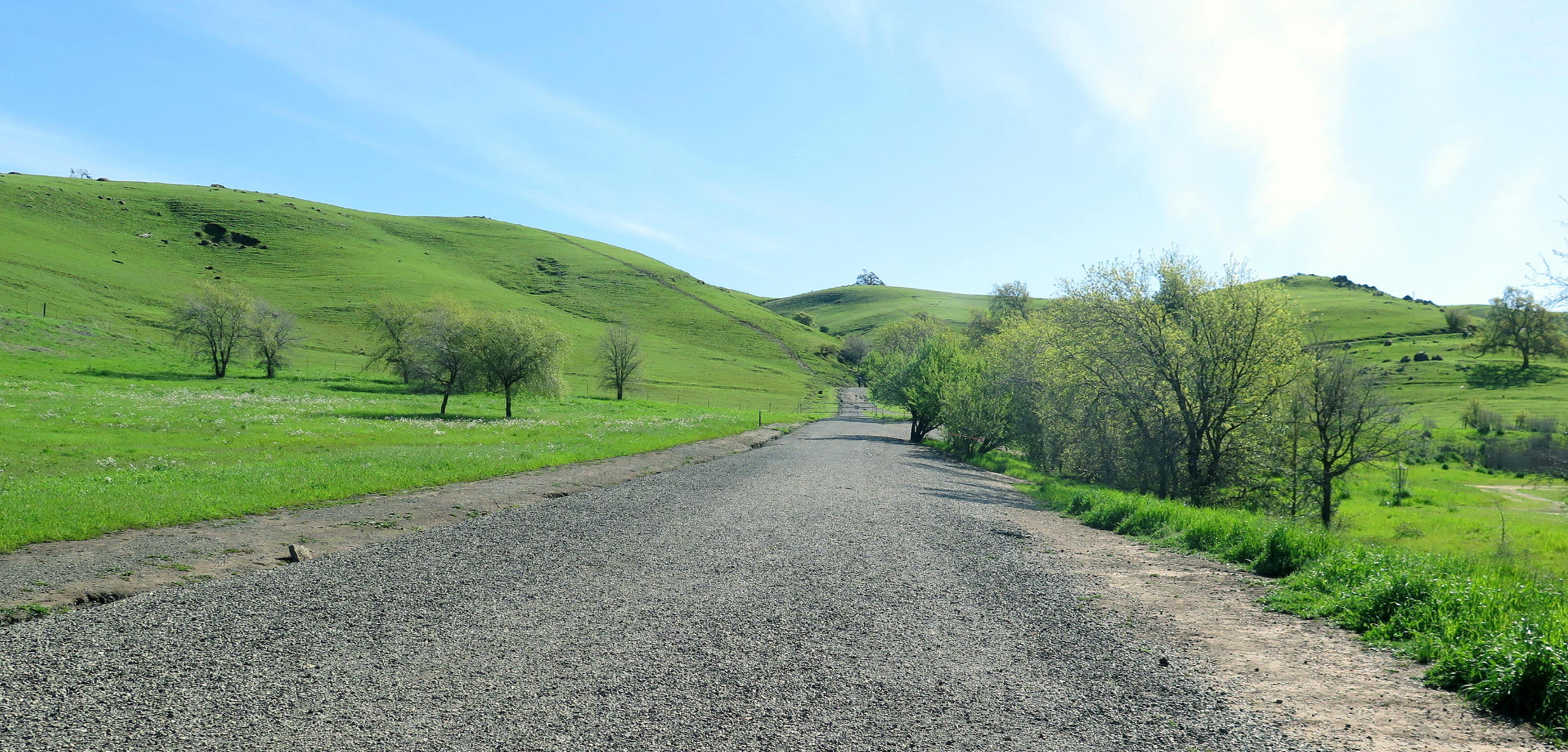
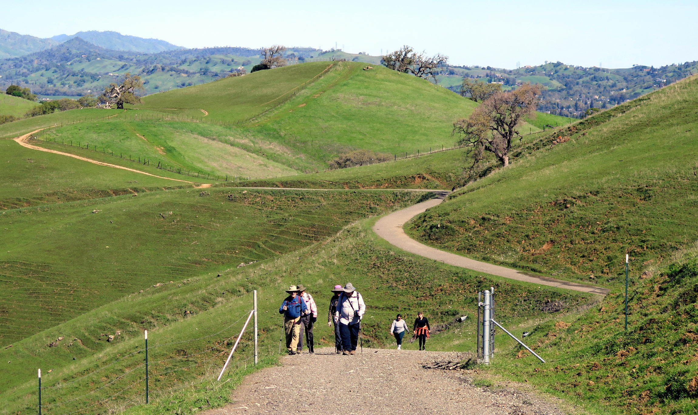
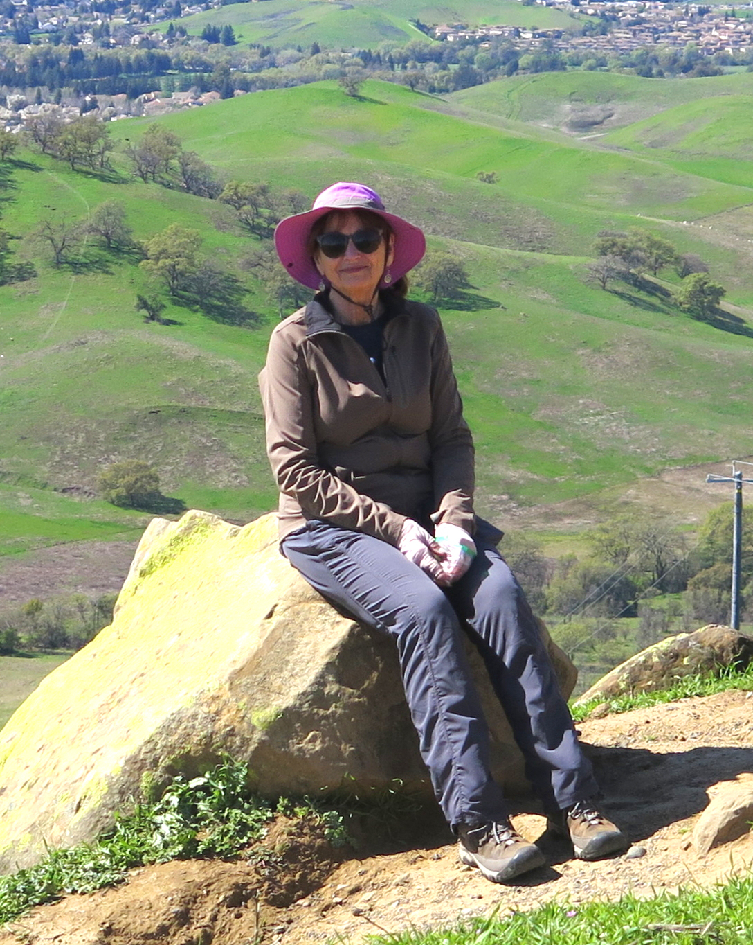
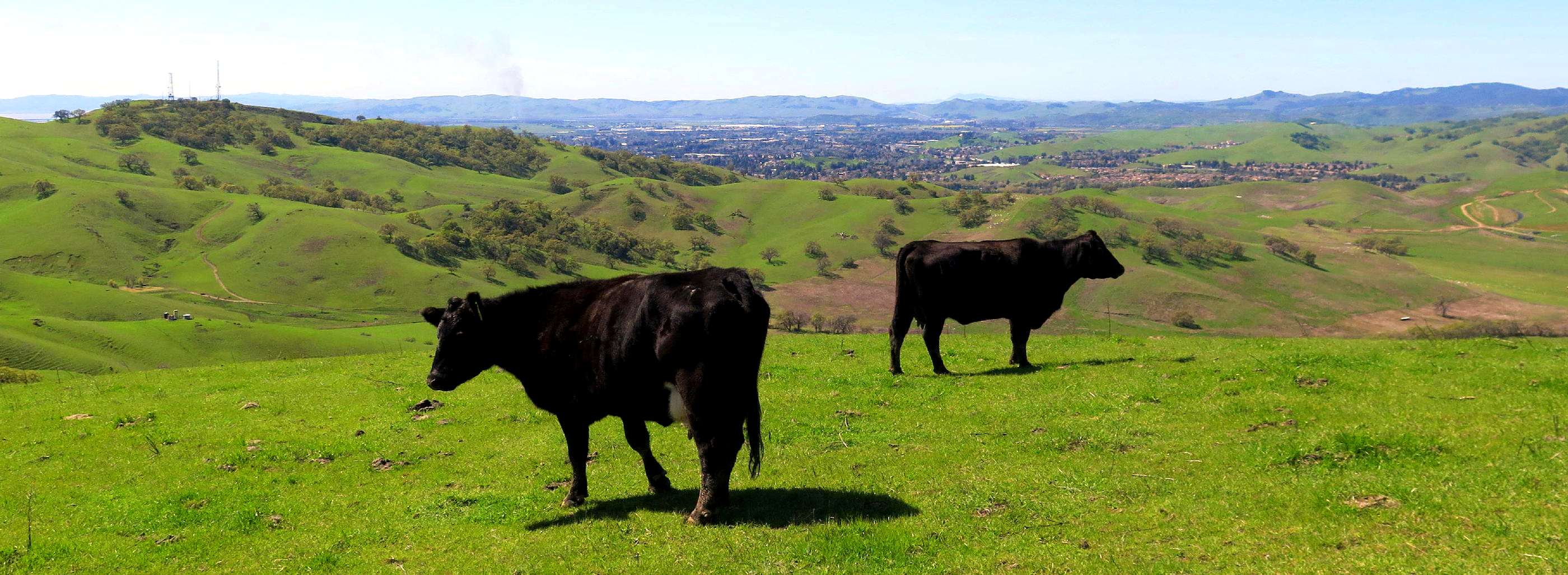
On the last day of March, a Friday, six of us went for a walk at Lagoon Valley, located (off highway 80) in the grassy hills between Vacaville and Fairfield, an area all of us have driven past for decades, on the way to the Bay Area. Today, for once, we stopped in. A few had been here before, but it was new to me.
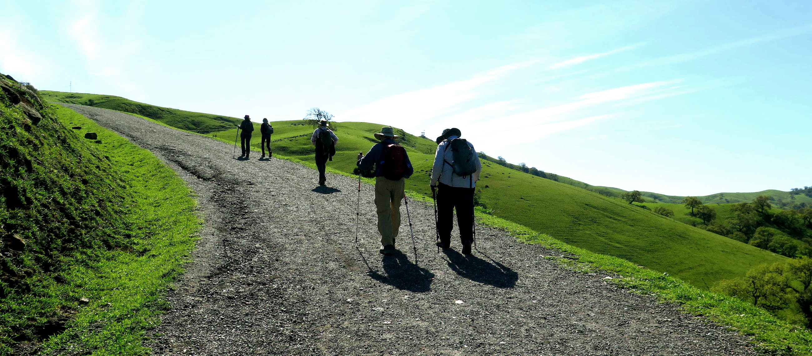
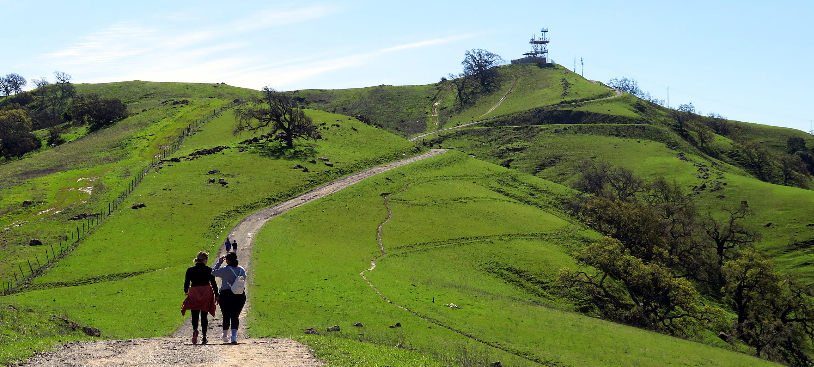
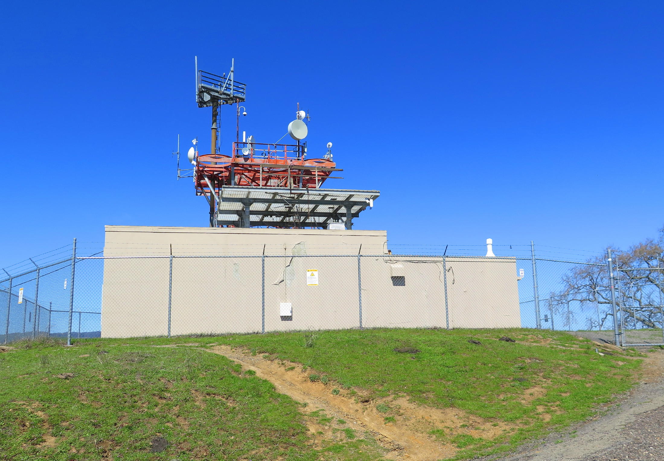
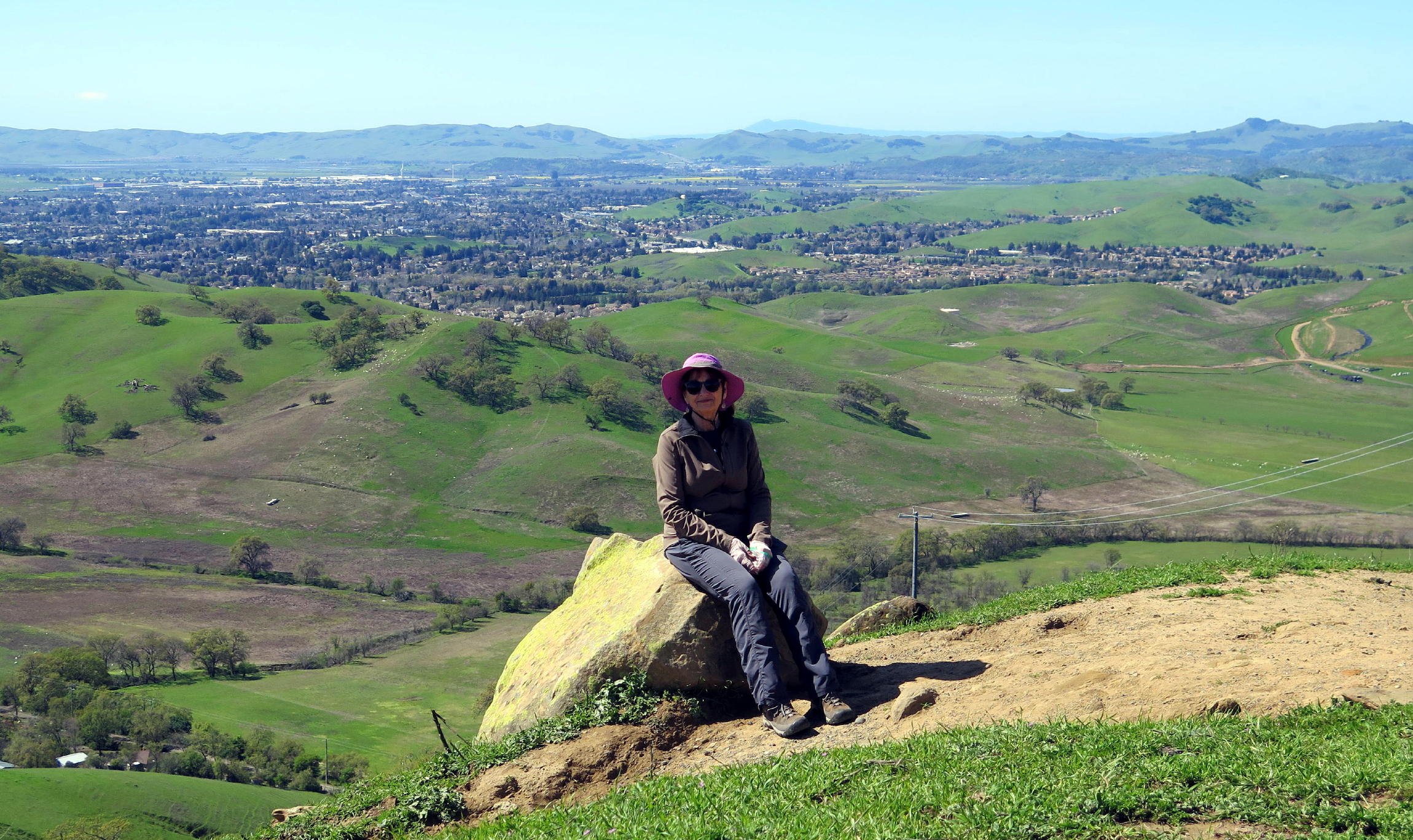
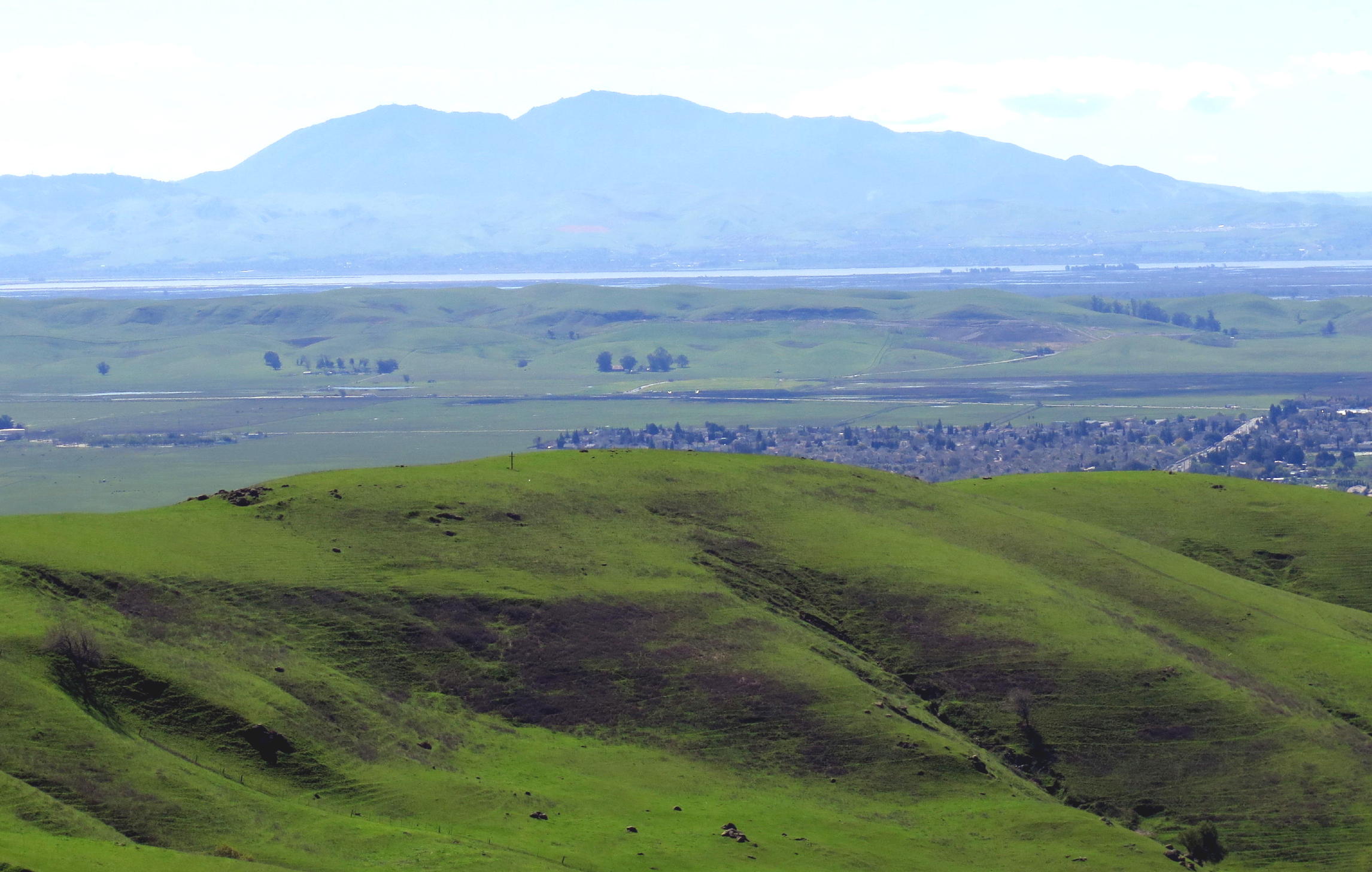
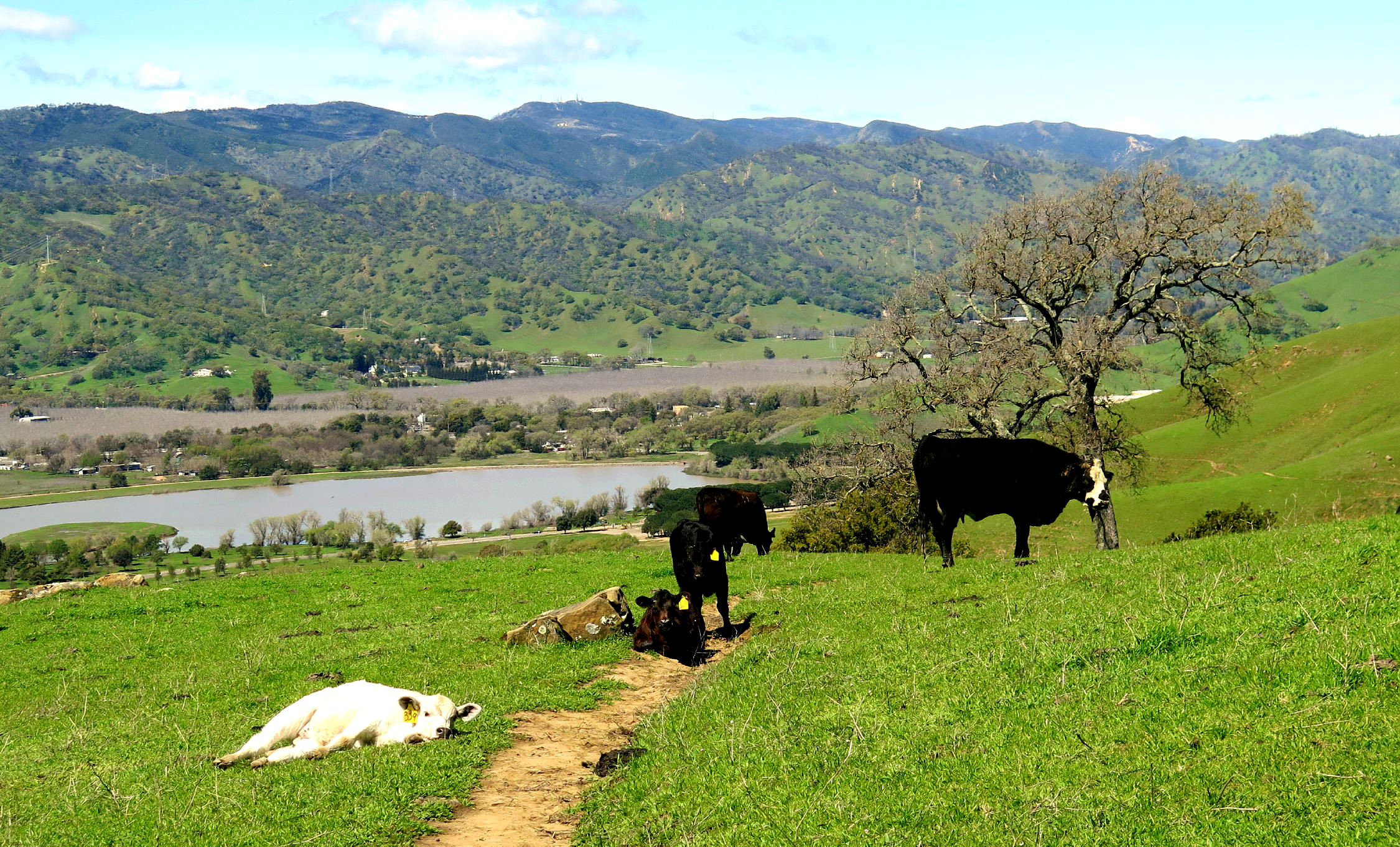
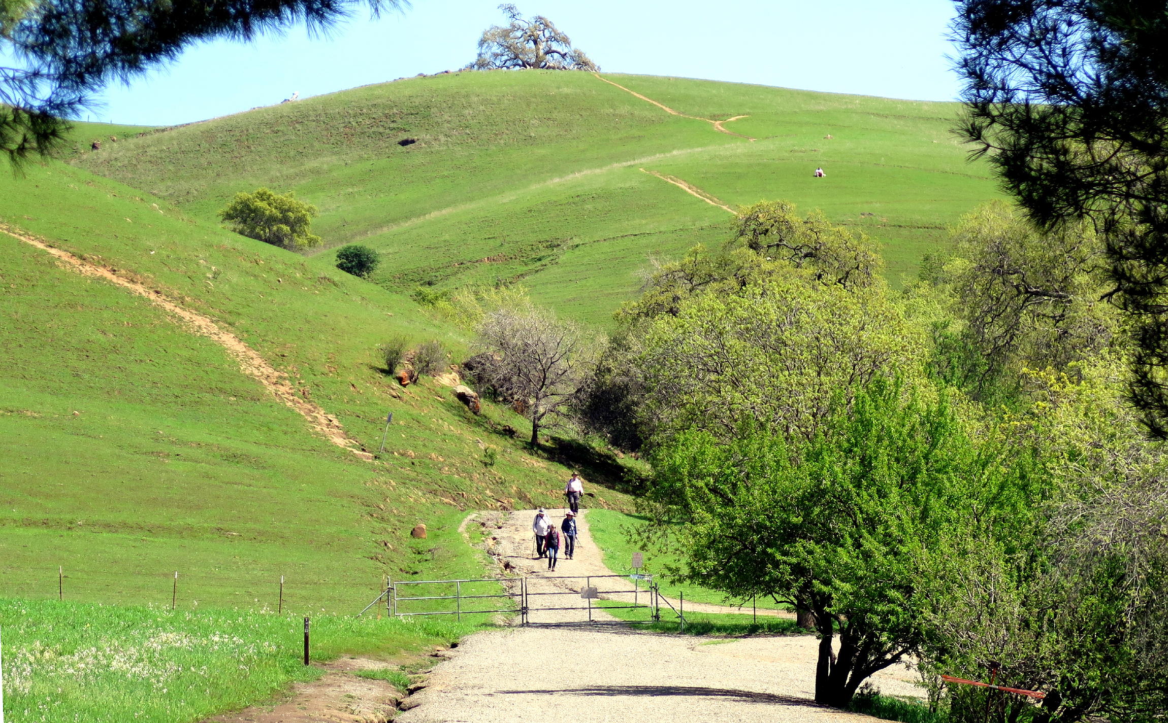
There was a steady uphill climb on a beat-up old road for two miles. Upon reaching the telecom tower, the high point, we sat on the grass & had lunch. The view to the south included Mount Diablo & Suisun Bay.
note - you can enlarge any part of a picture by left-clicking in and then out again (with some exceptions).
|
|
the lagoon |
|
warming up |
|
gaining altitude & walking into hazy light |
|
|
|
this winter brought 2X normal rainfall |
|
|
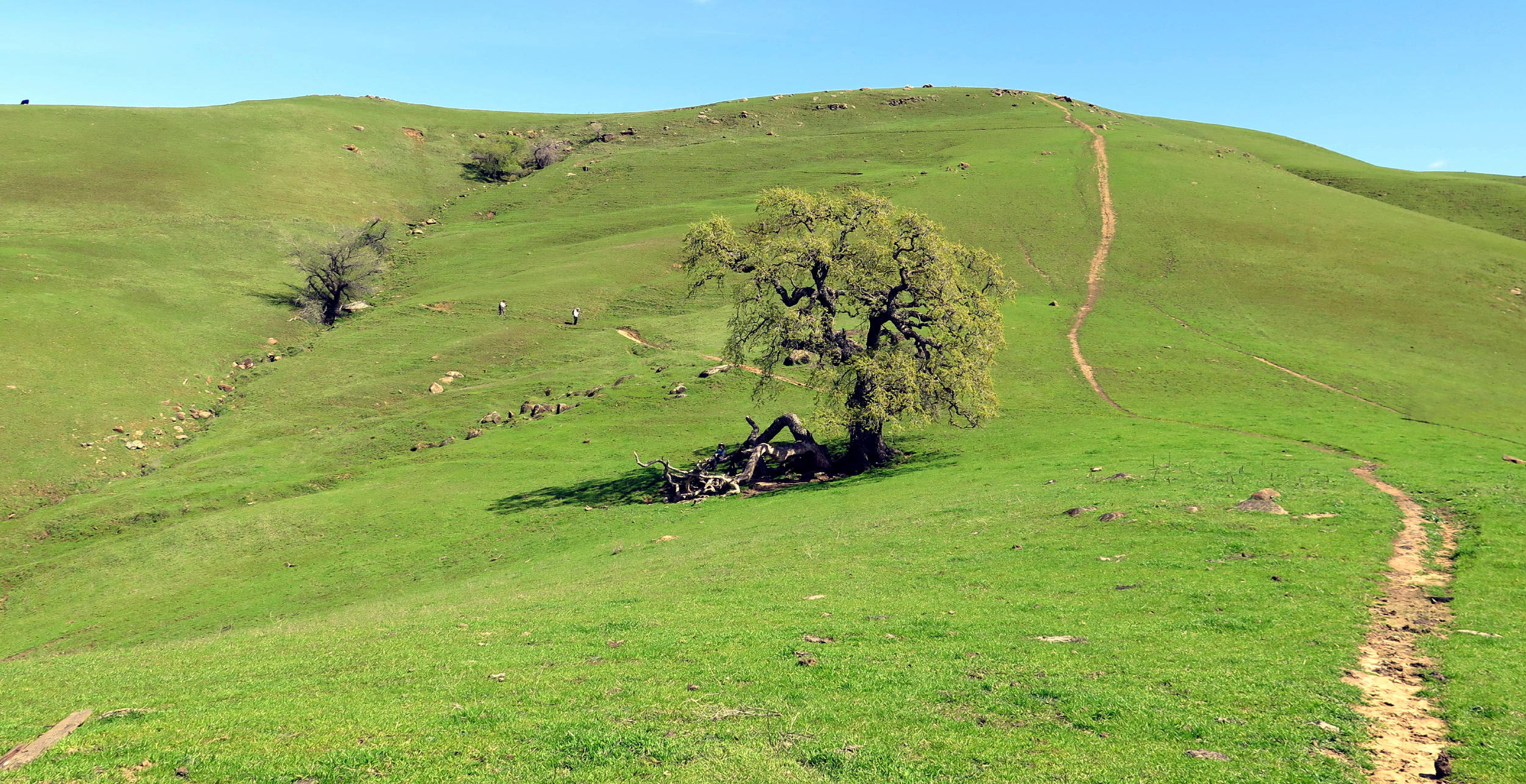
the high point is ahead | ||
|
|
|
|
LCB | |||
|
|
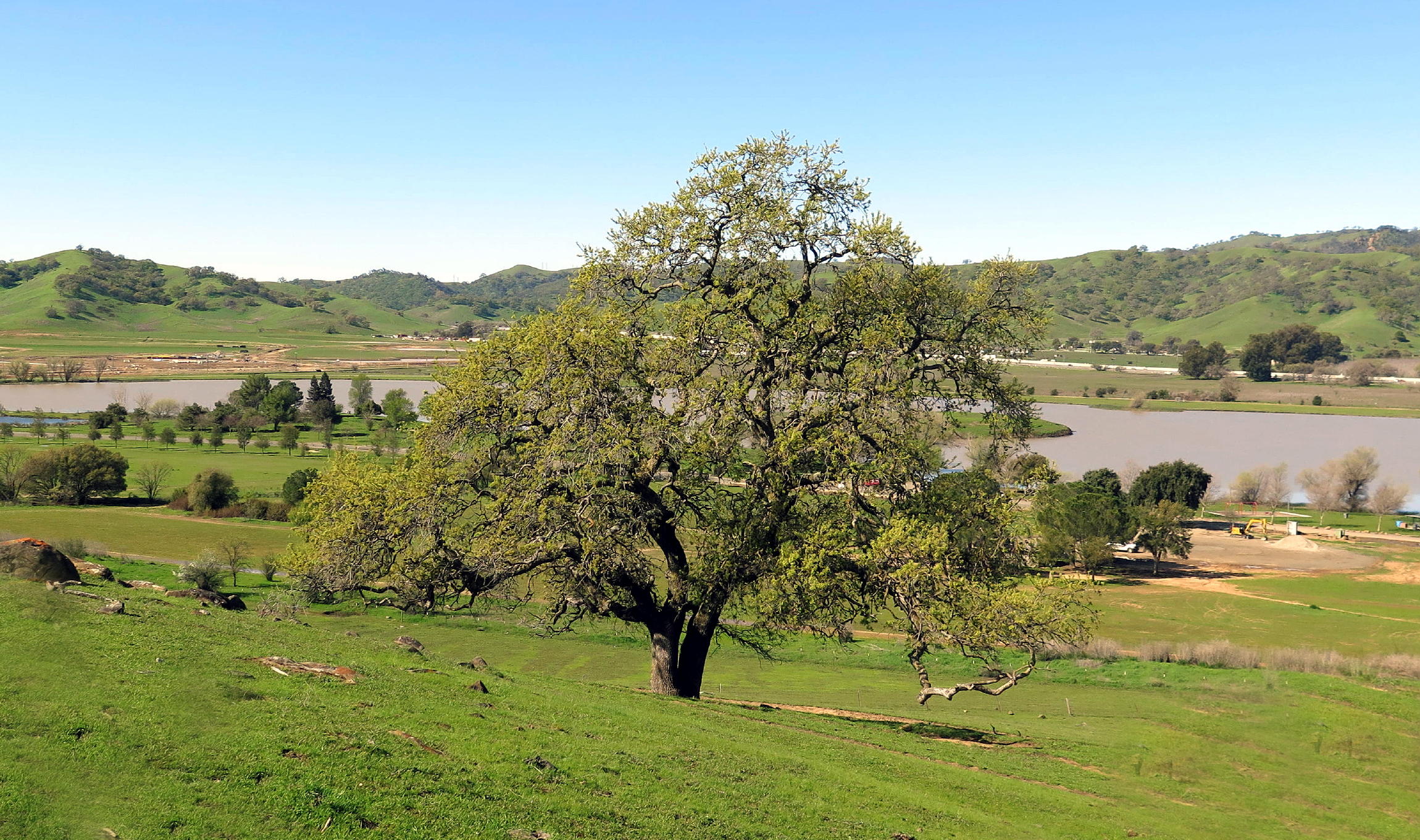
looking south from the lunch spot, see note |
|
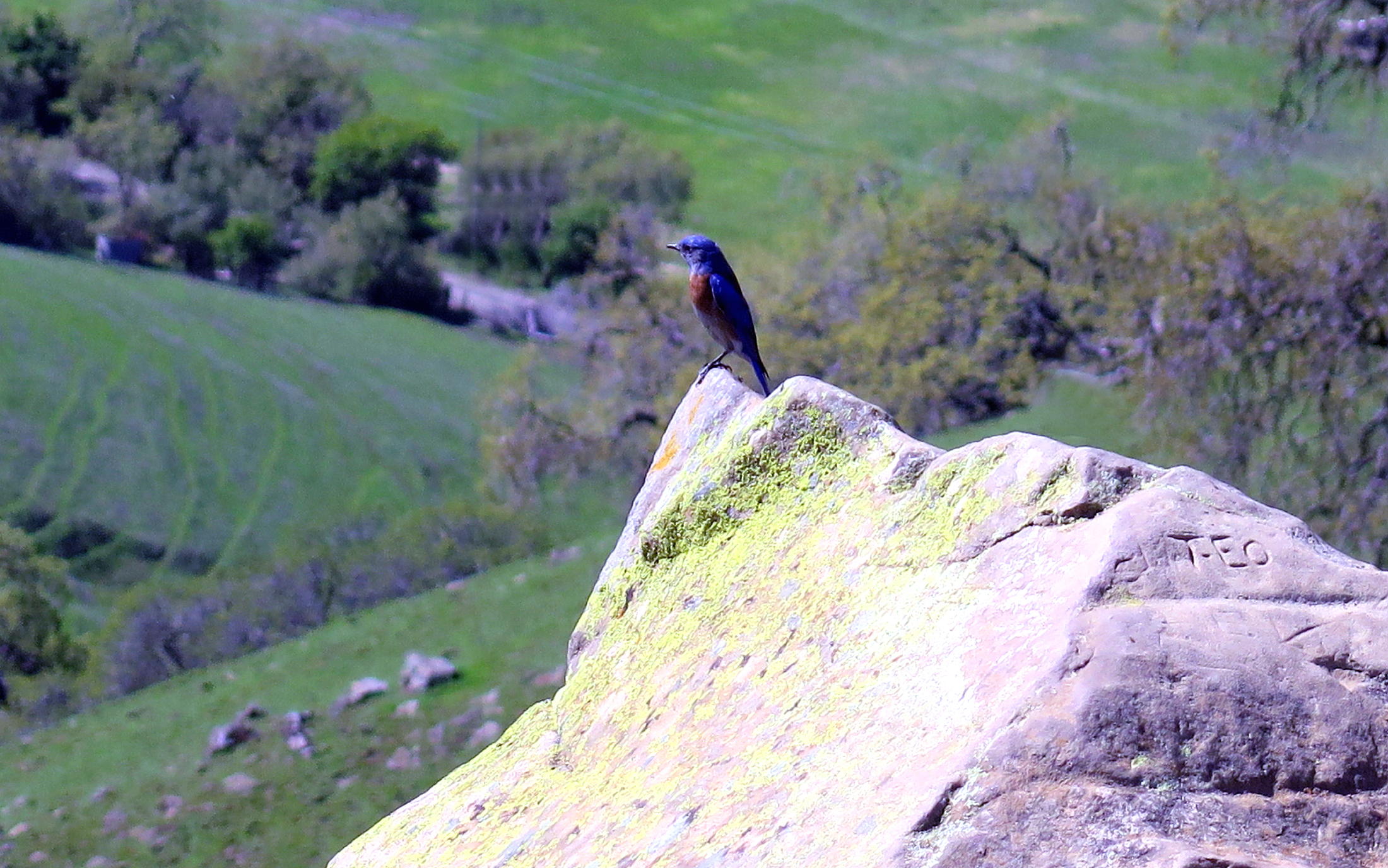
western bluebird |
|
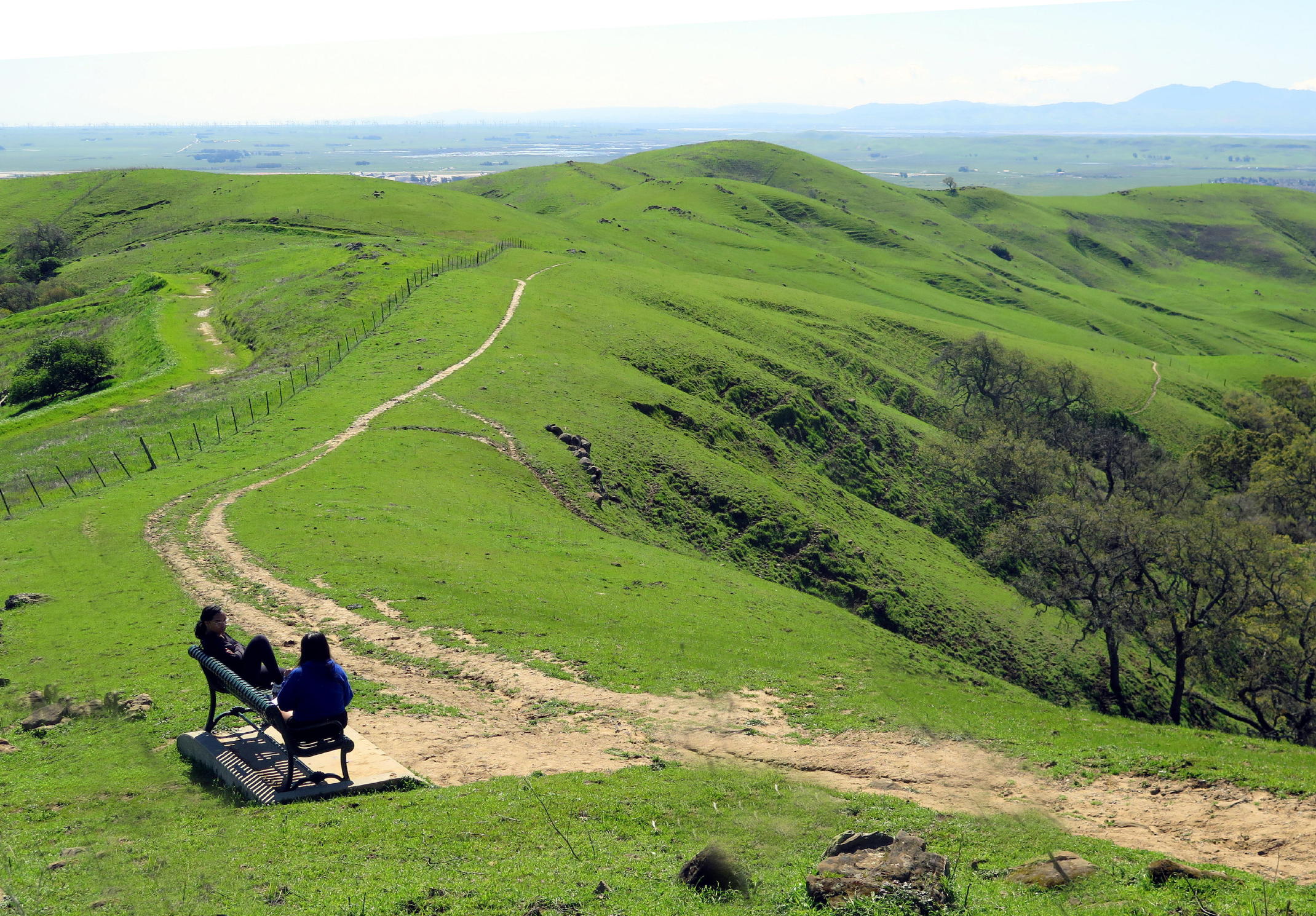
looking south |
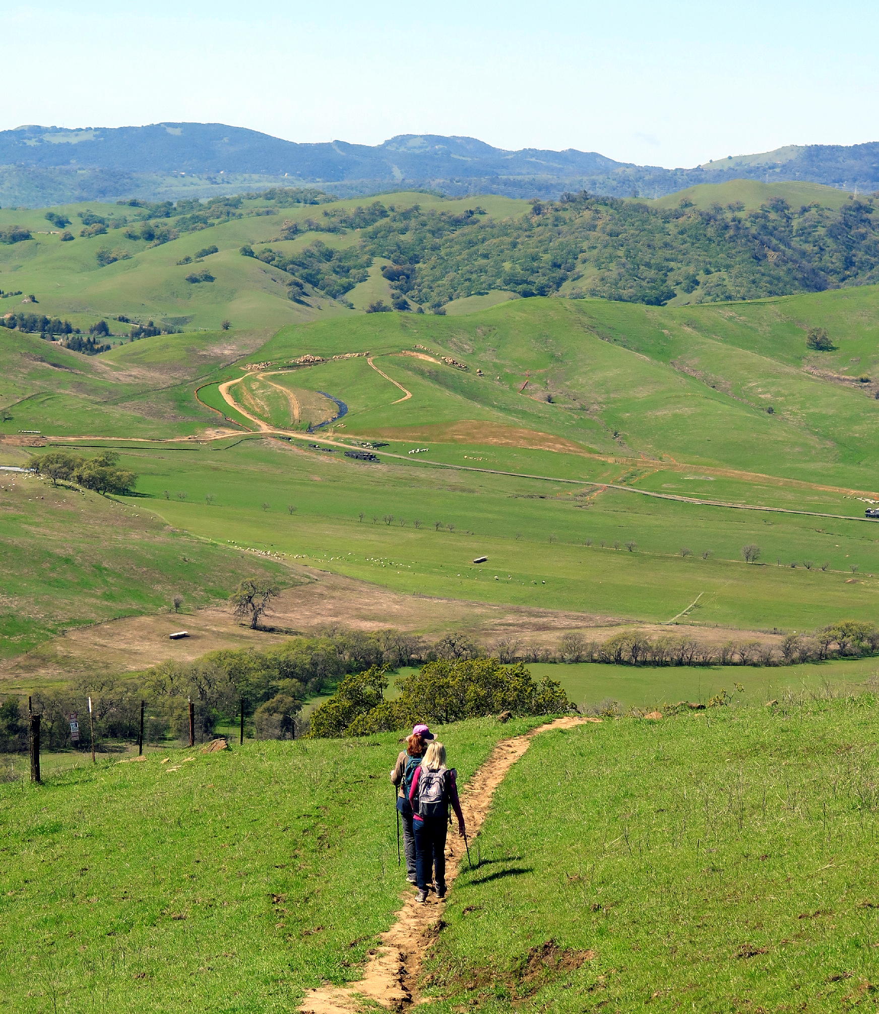
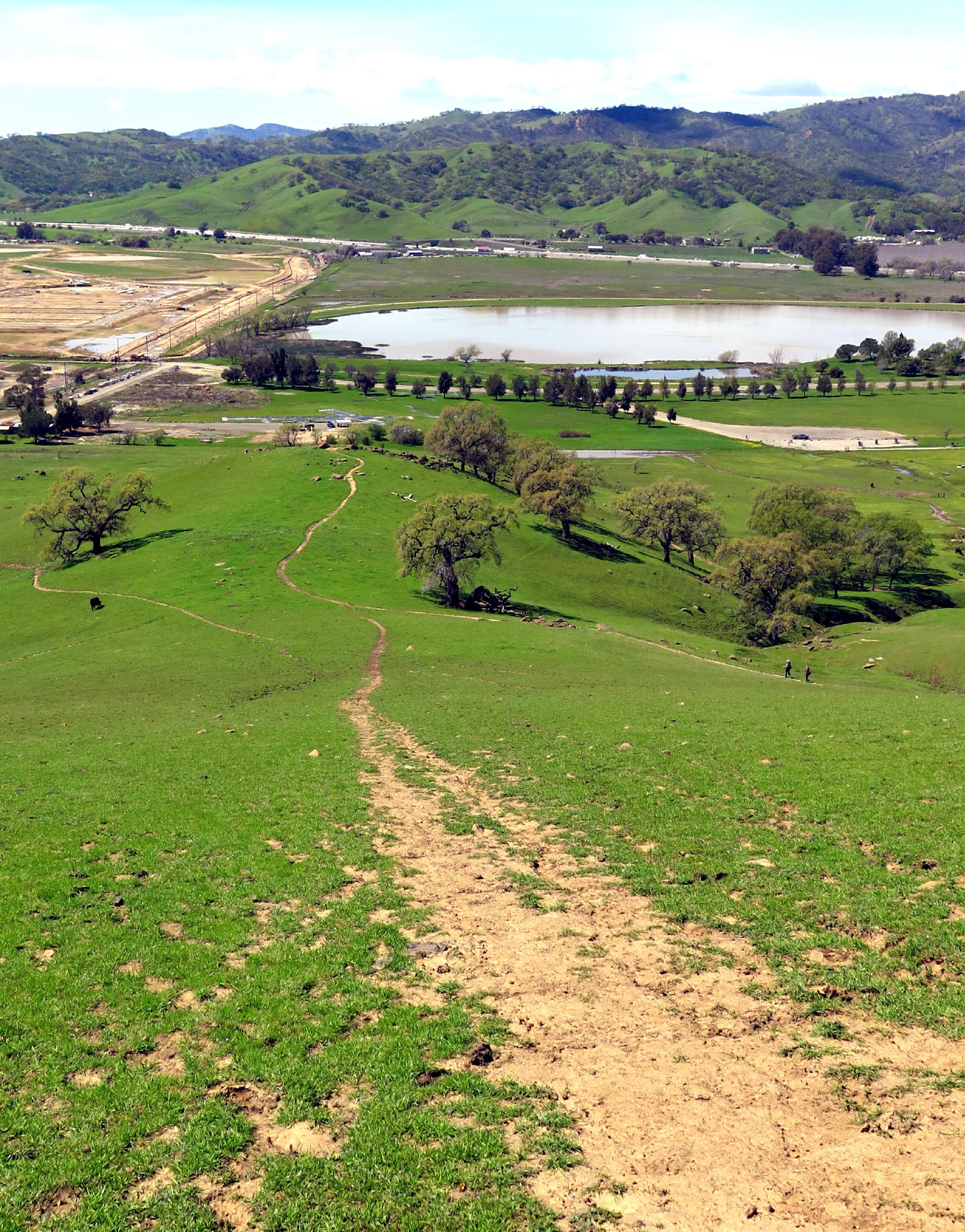
note - this view shows the single-track return route that most of us took back, which gradually turns to the right & descends.
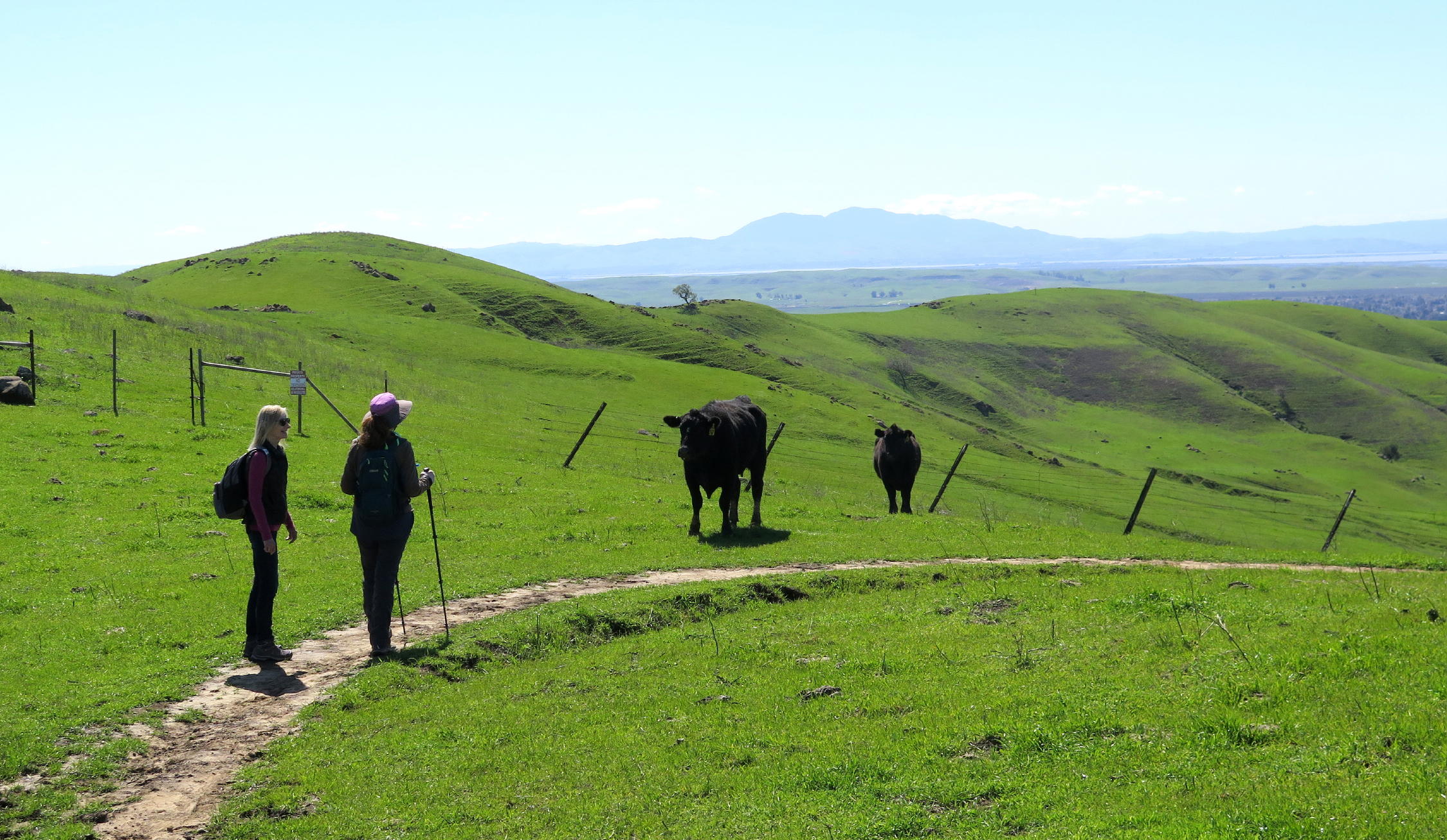
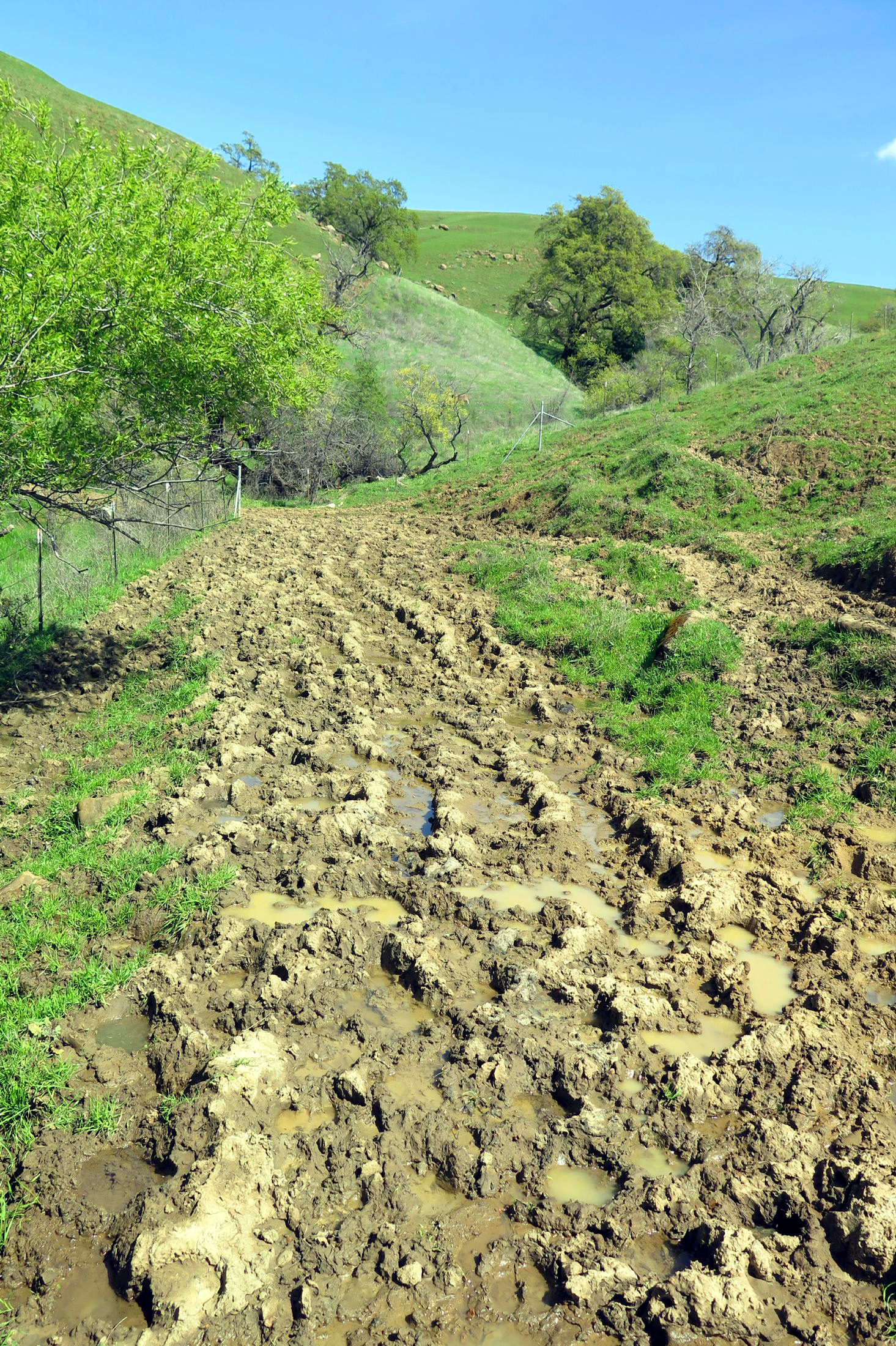
The walk back was a challenge, because cows use the trails daily so it is all churned up. They probably compact the clay soil, leading to poor drainage and at natural drainage crossings, the trail was partly underwater, so good luck finding a dry footfall ! The only option was to walk on narrow dry ridges and it became a balancing act to get through.
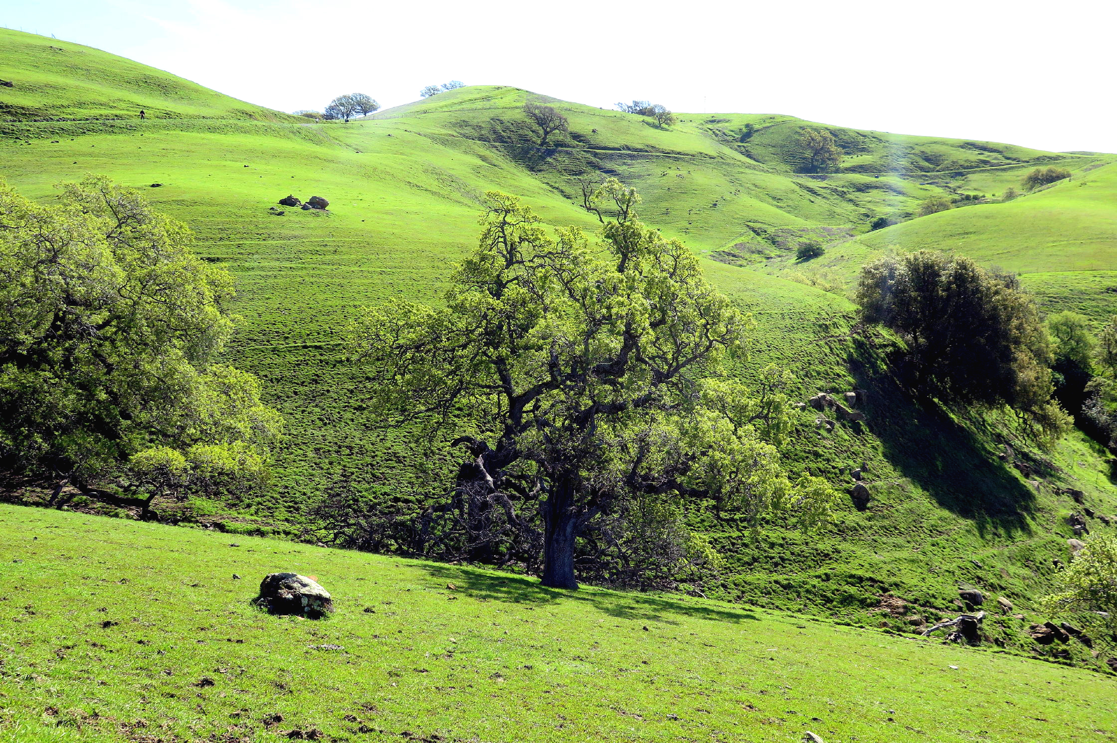
Once past the worst of the muddy areas, at a trail junction, I took the steeper of two downhill options, straight down the fall line, always a thrill and a test of knees & ankles. At the bottom of the hill I found Diane & Linda, sitting & talking under a giant Oak.
The last part of the walk was easy with only one remaining wet area to cross.
 |
 |
Diane and Linda |
 |
 |
||
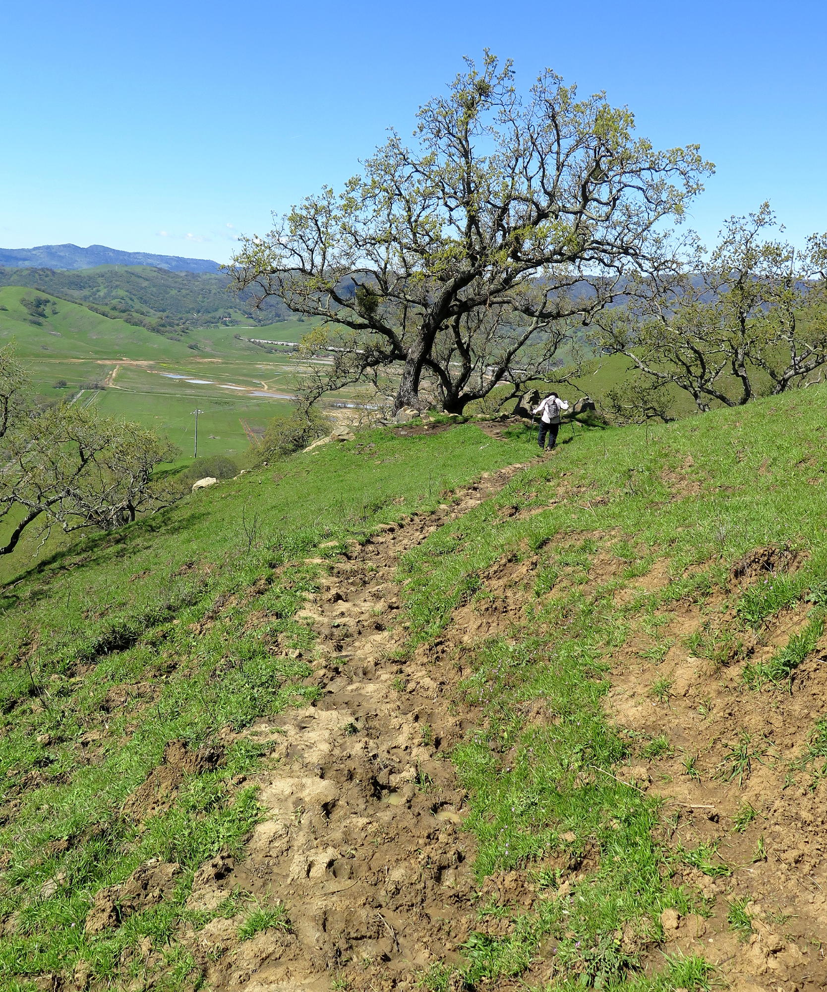 |
the trail became tricky due to cow usage |
 |
|
 |
cows get the right of especially when young & zonked out | |
 |
the shortcut |
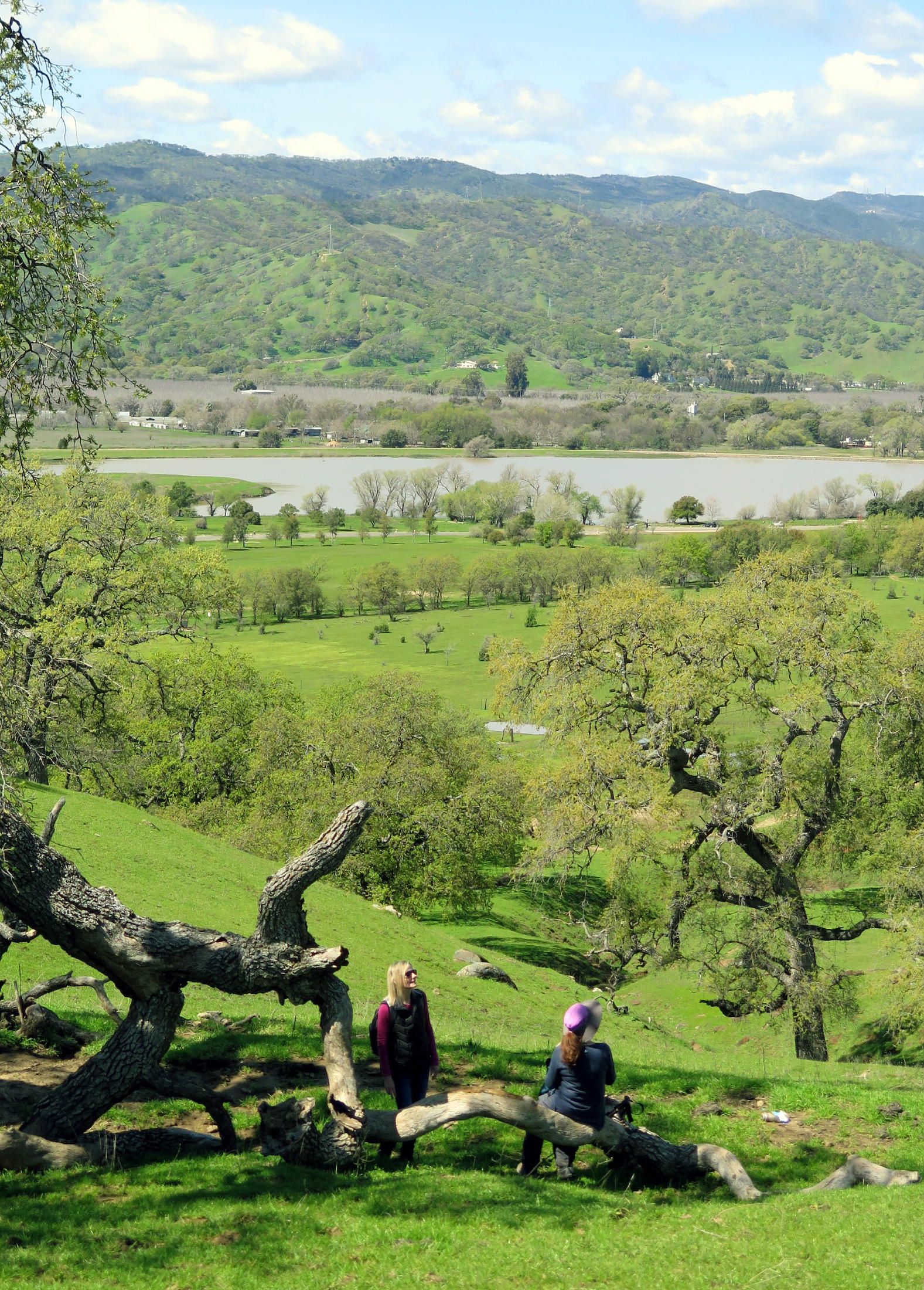 |
Diane & Linda in a big Oak |
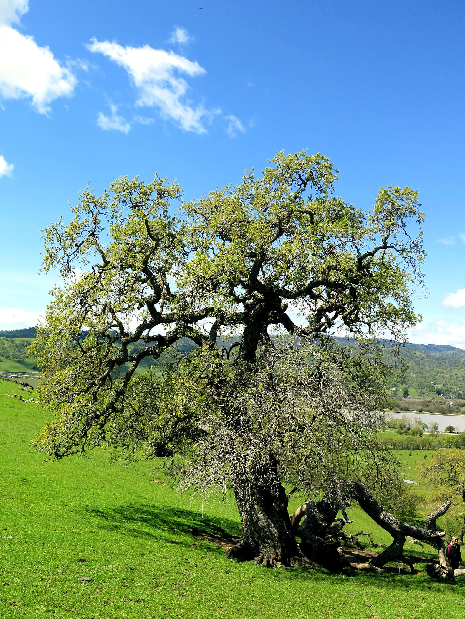 |
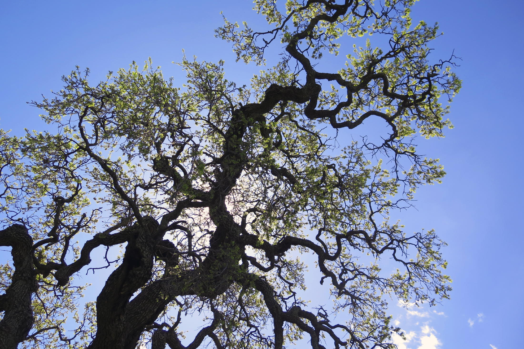
the big Oak (four photos) |
 |
 |
 |
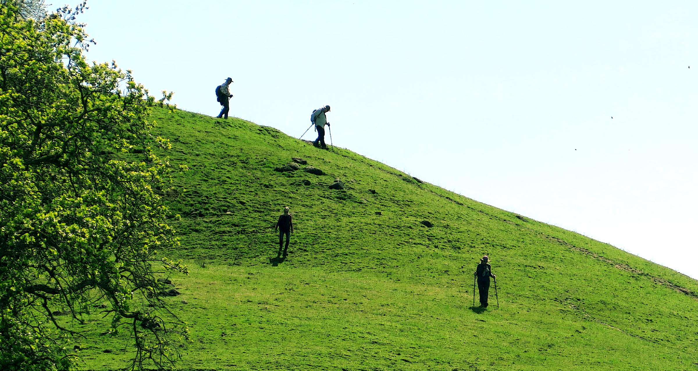
Frank & Dave arriving on the traverse route |
 |
then more downhill | ||
 |
cow path at low lying area |
 |
nearly back |
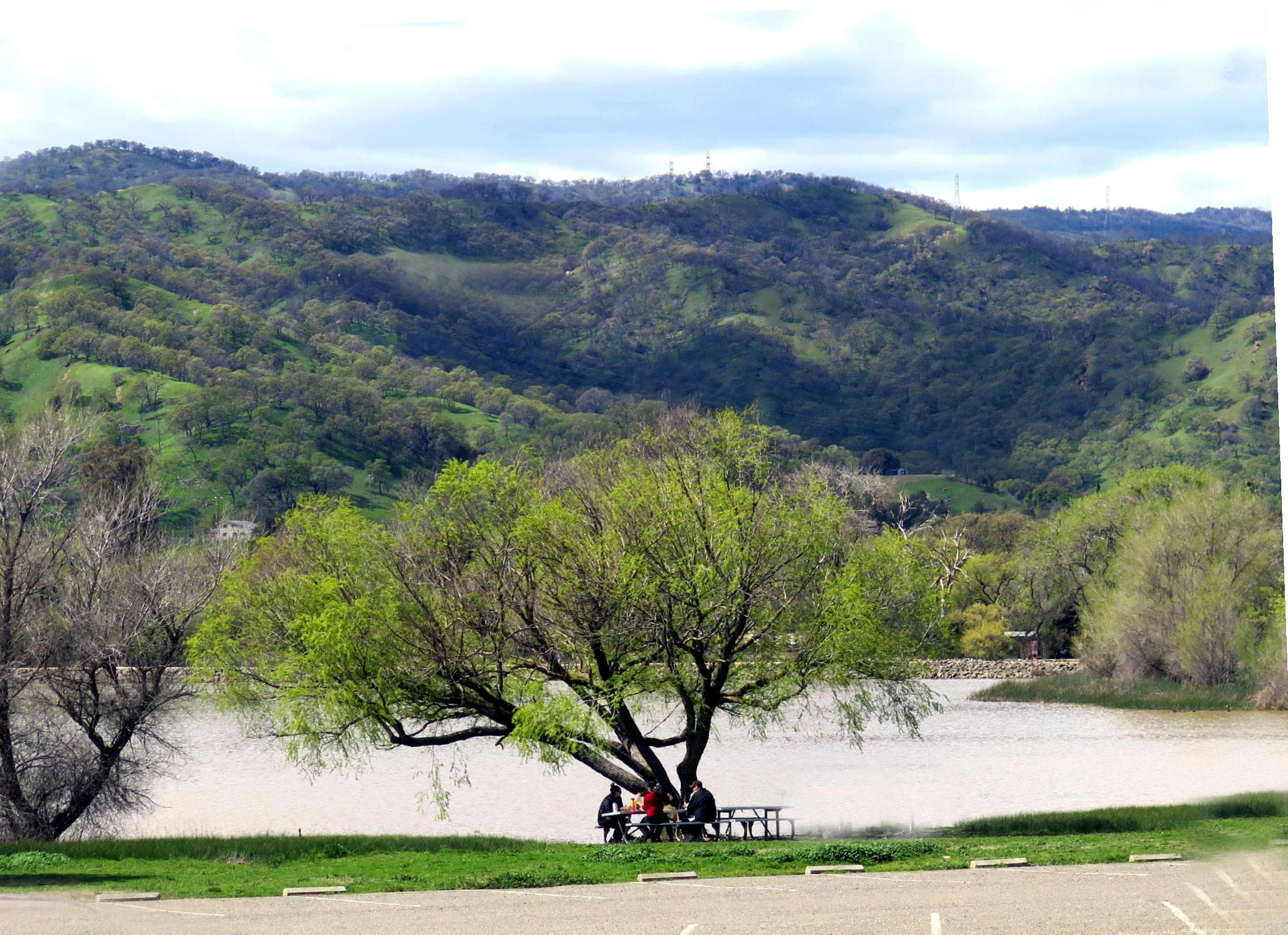 |
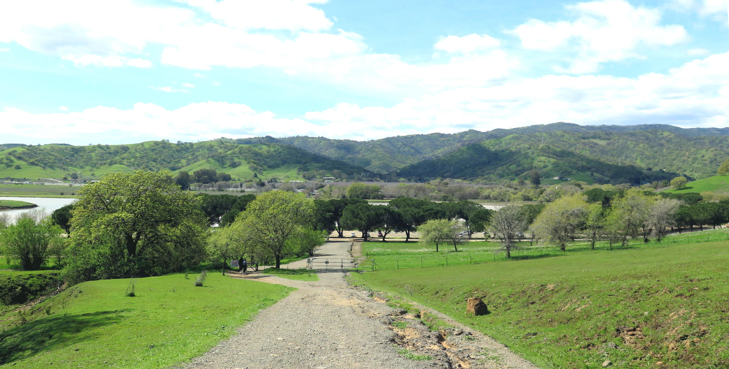
< picnic by the lake, and four hikers returning > |
 |
The 'single track return group' walked five miles and all of us had 850 ft. of elevation gain. Rich said he walked 3.3 miles taking the road back and he arrived at the cars an hour early. He had th windows down & was listening to jazz when I returned.
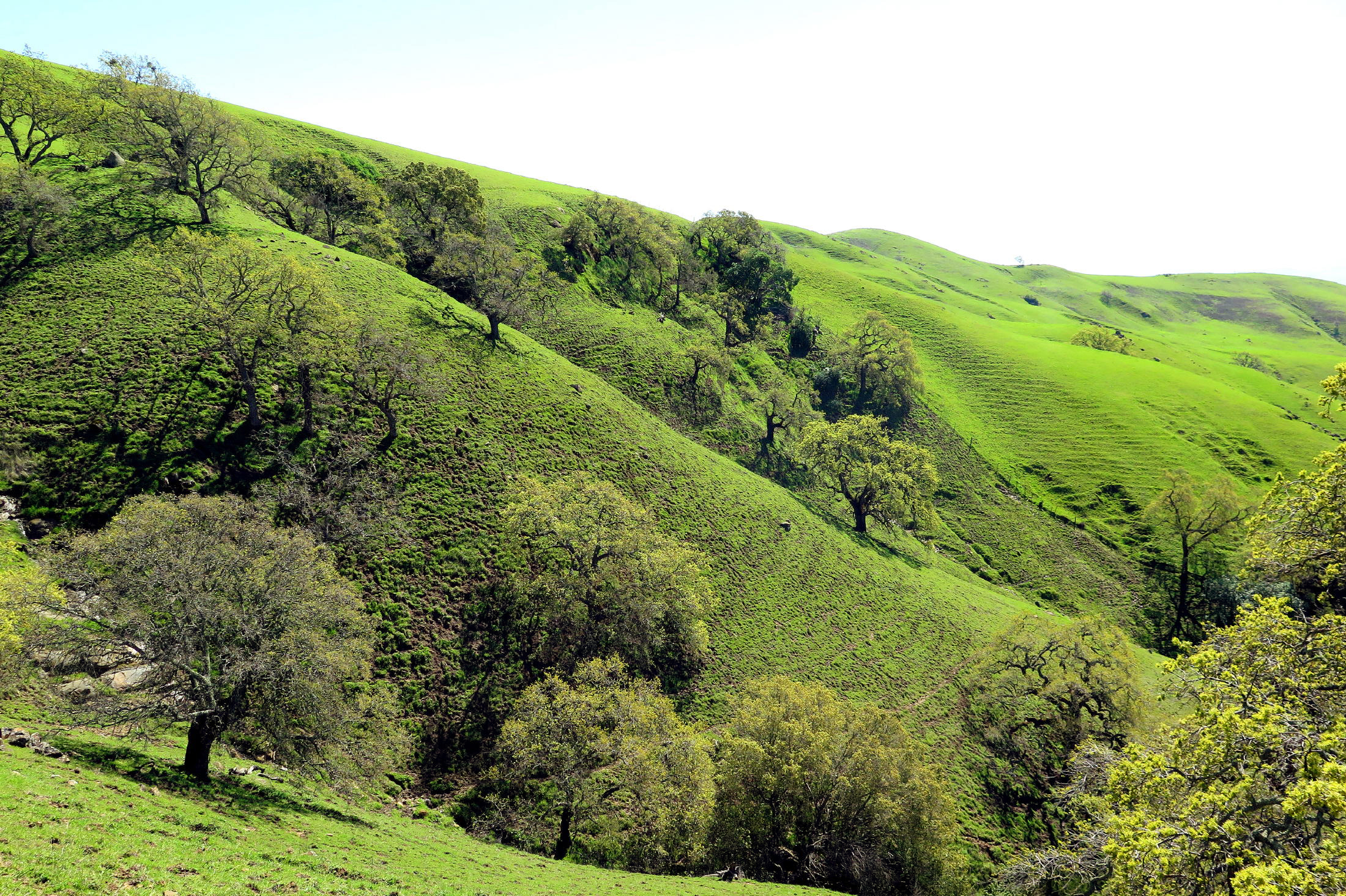
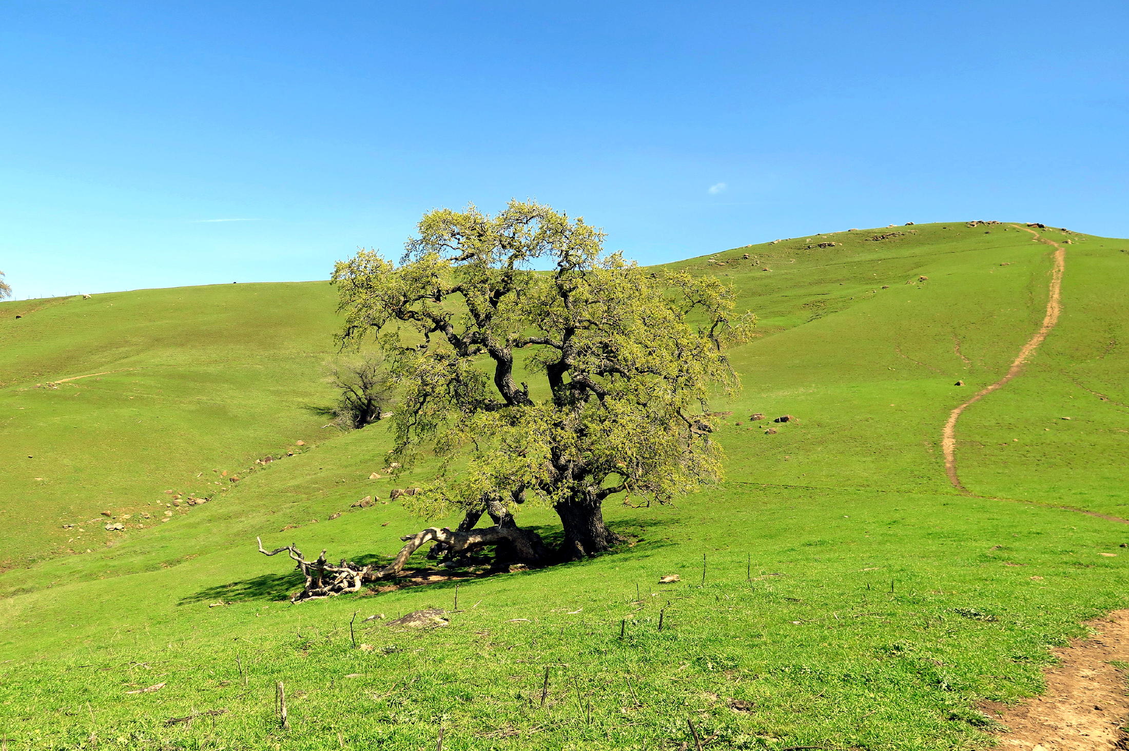
I really enjoyed the hike, with sweeping views of emerald-green hills, and colorful new foliage emerging on old Oaks.
And whatever the difficulty of the walk, it was worth it, but my ankles were buzzing about the incredible bending/twisting experience, for two days afterwards !
One area was so flooded that I tried to get past it by climbing a steep bank, but it was slippery footing & at one point I was precariously balanced over a muddy pool. Somehow I kept my balance and kept going. That's not a bad day out !
return to index
/