Rockville Hills - Feb. '26
return to index
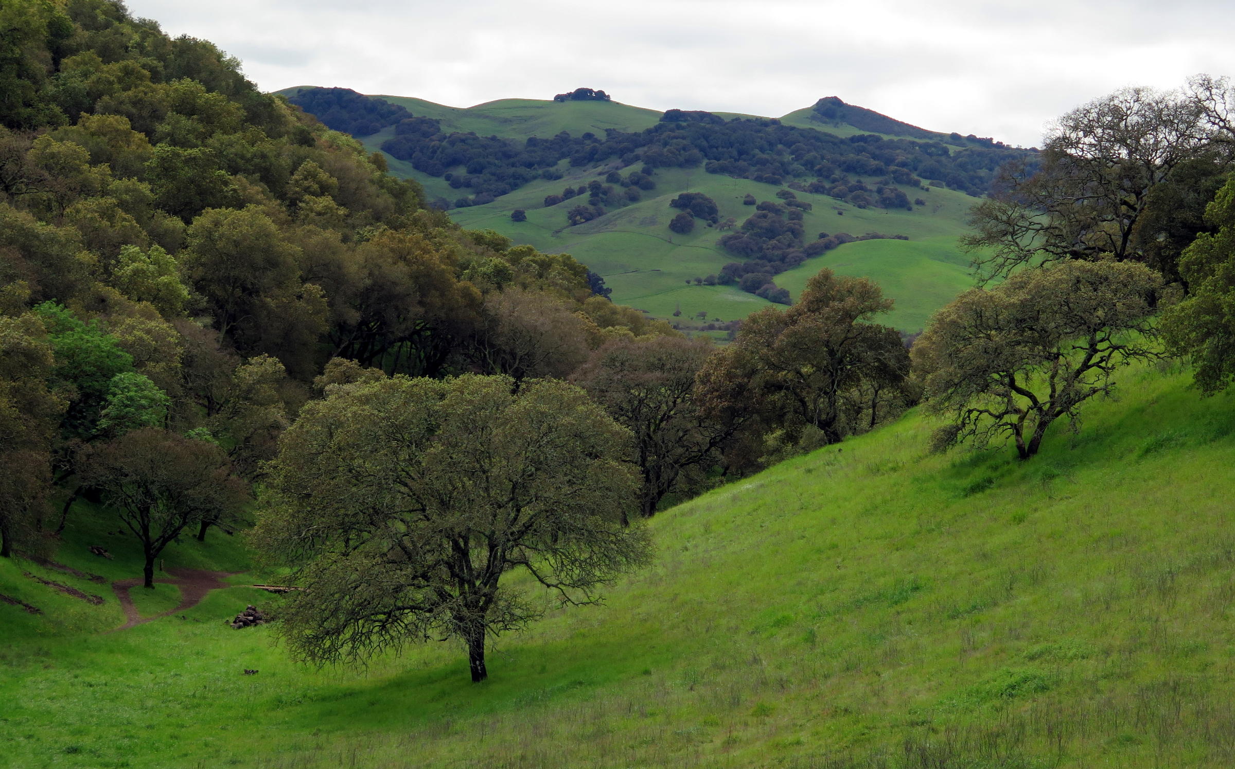
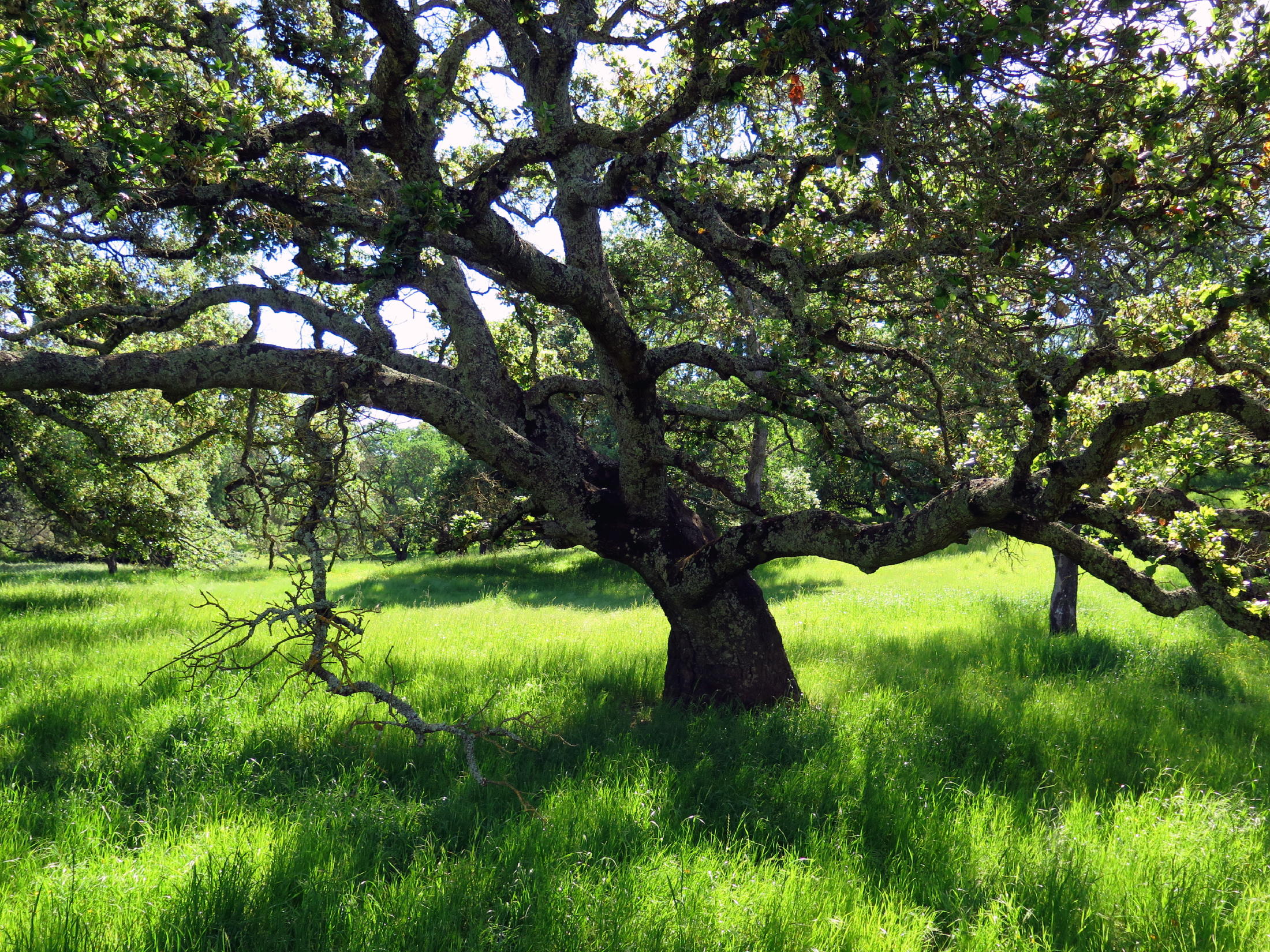
Over the last decade of hiking with the group, Rockville Hills Regional Park, in Fairfield, Ca., has became one of our favorite destinations, especially from late winter through spring, especially if it is (or was) a good rain season. This current season met that condition early & spring grass first appeared in late November.
On Saturday, Feb. 14, Jean joined me for an exploratory walk, my friend Andrew in Oakland being unable to attend.
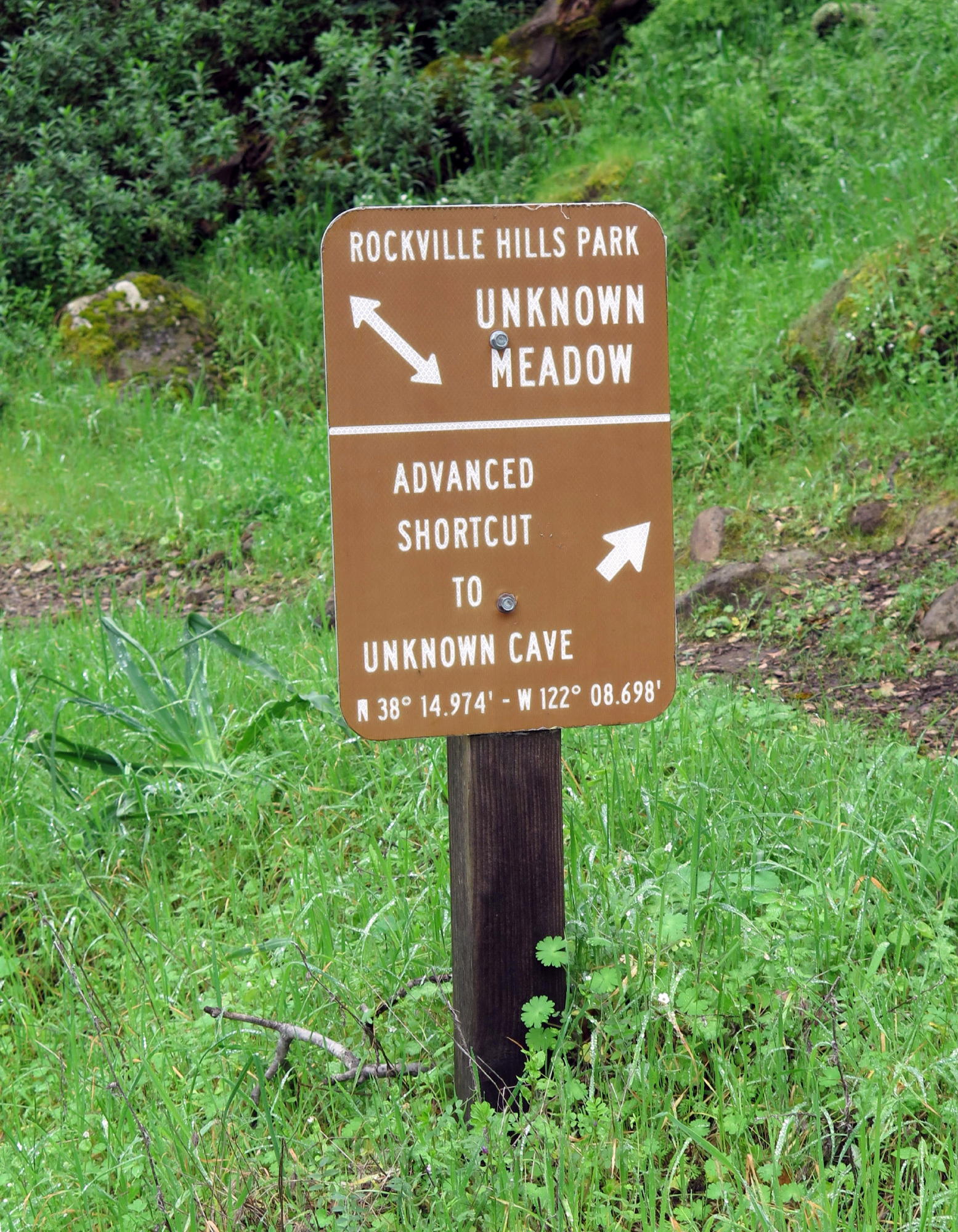
Heading south on the Upper Tilley trail, we saw early wildflowers, like Indian Warrior, always a surprise to find, and, we encountered an unexpectedly steep downhill section, walking on, or through, large rocks. It was challenging at times, needing all fours. It is called the Rascal Jack trail.
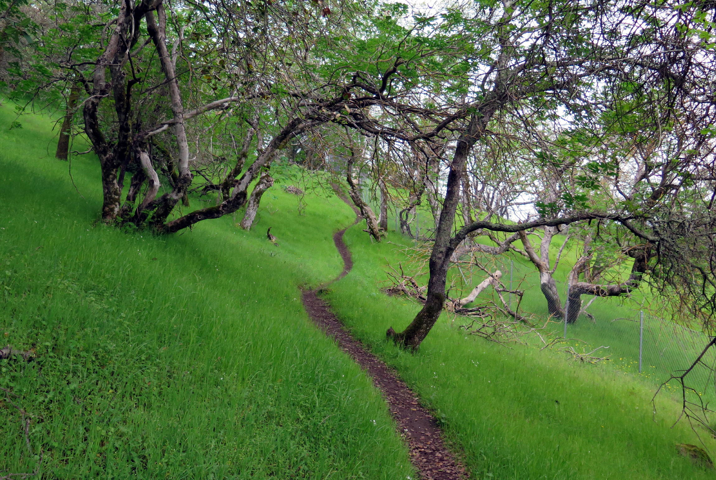
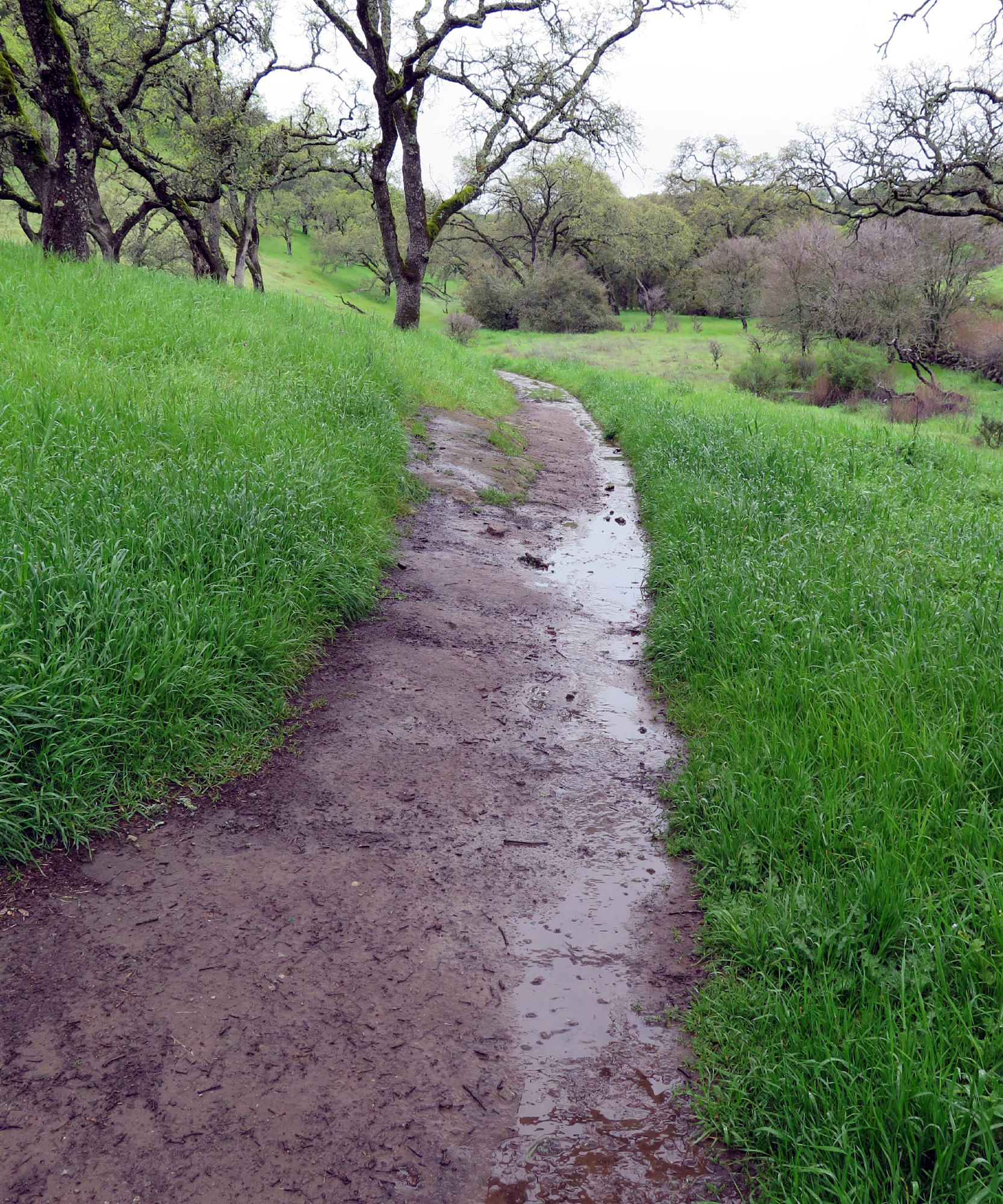
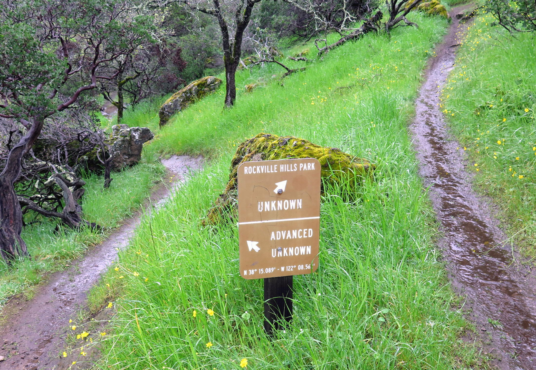
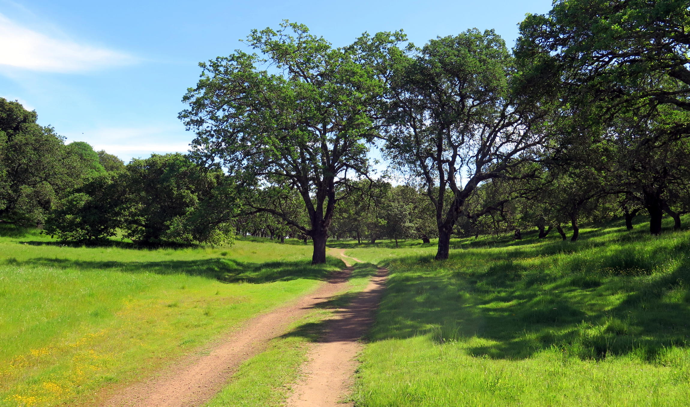
Once back at the starting point (carpark), we took a lower level path heading north, the Quarry trail, and the Unknown Trail, along the northern park boundary, eventually curving around to the west side of the park & heading south. It was a great loop walk, mostly single track, on hillsides resplendent with 'Easter Basket' grass. (I didn't find any colored eggs.)
|
|
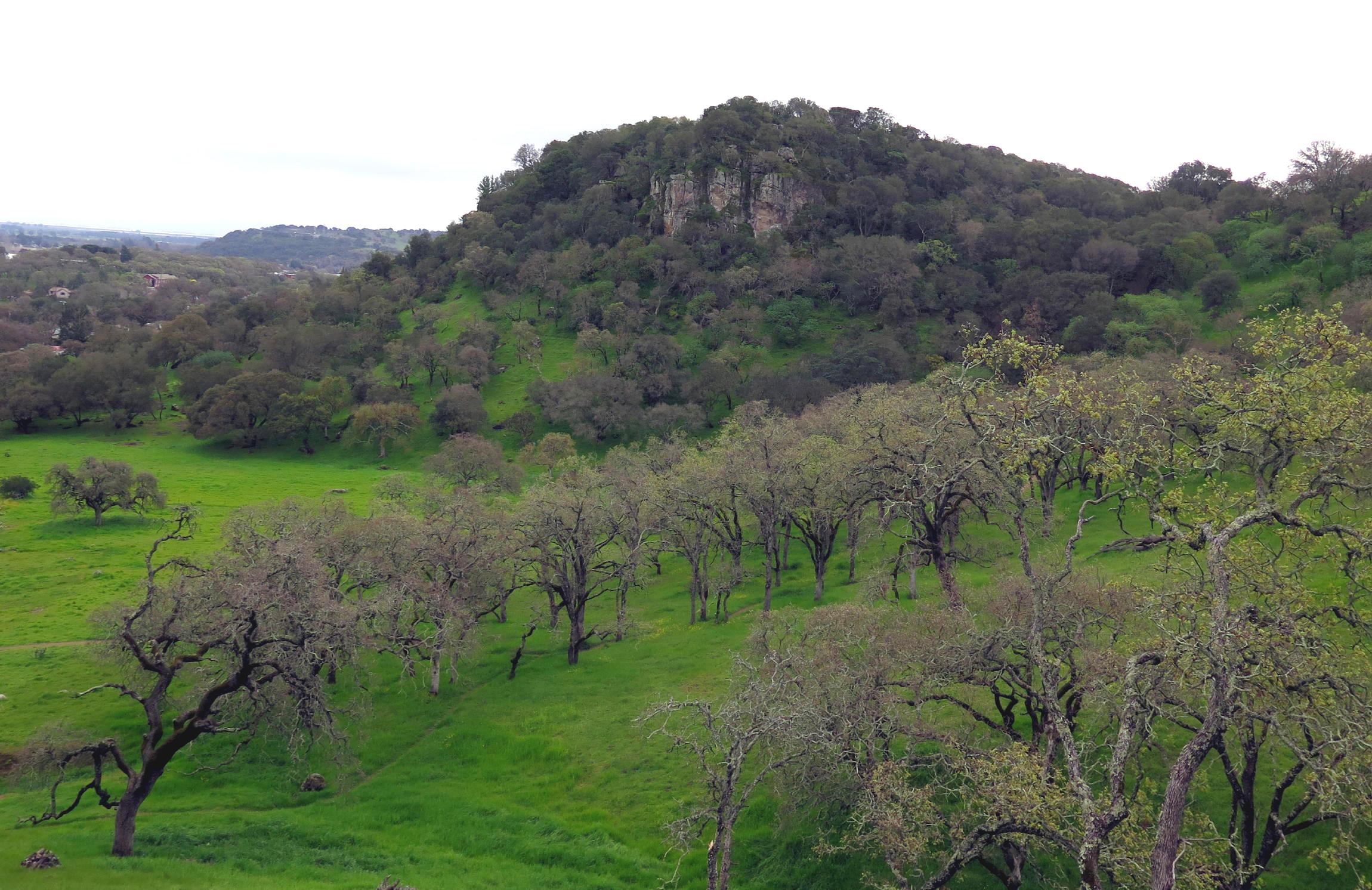
the hill to the south w/ outcropping |
|
Indian Warrior |
|
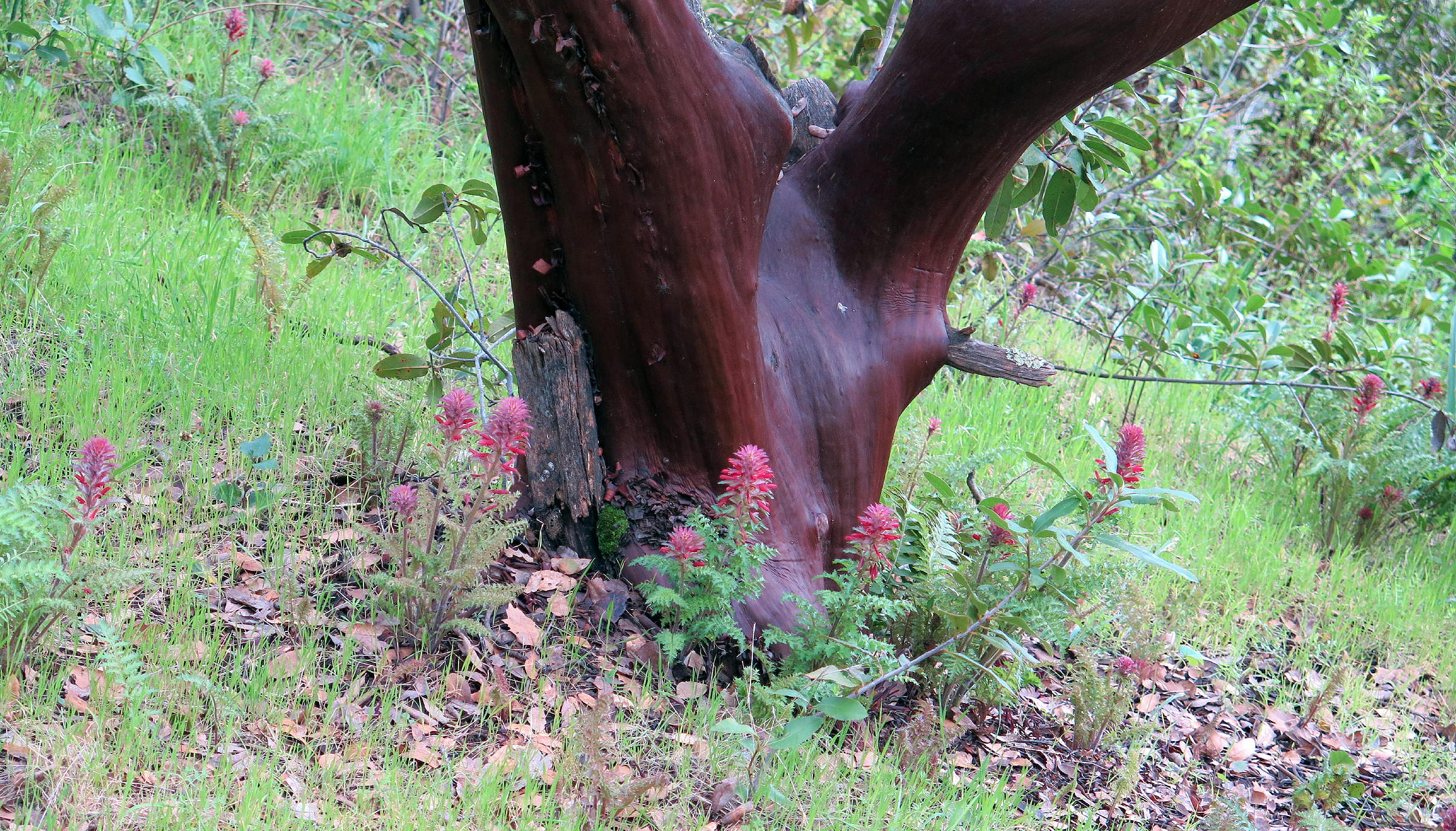
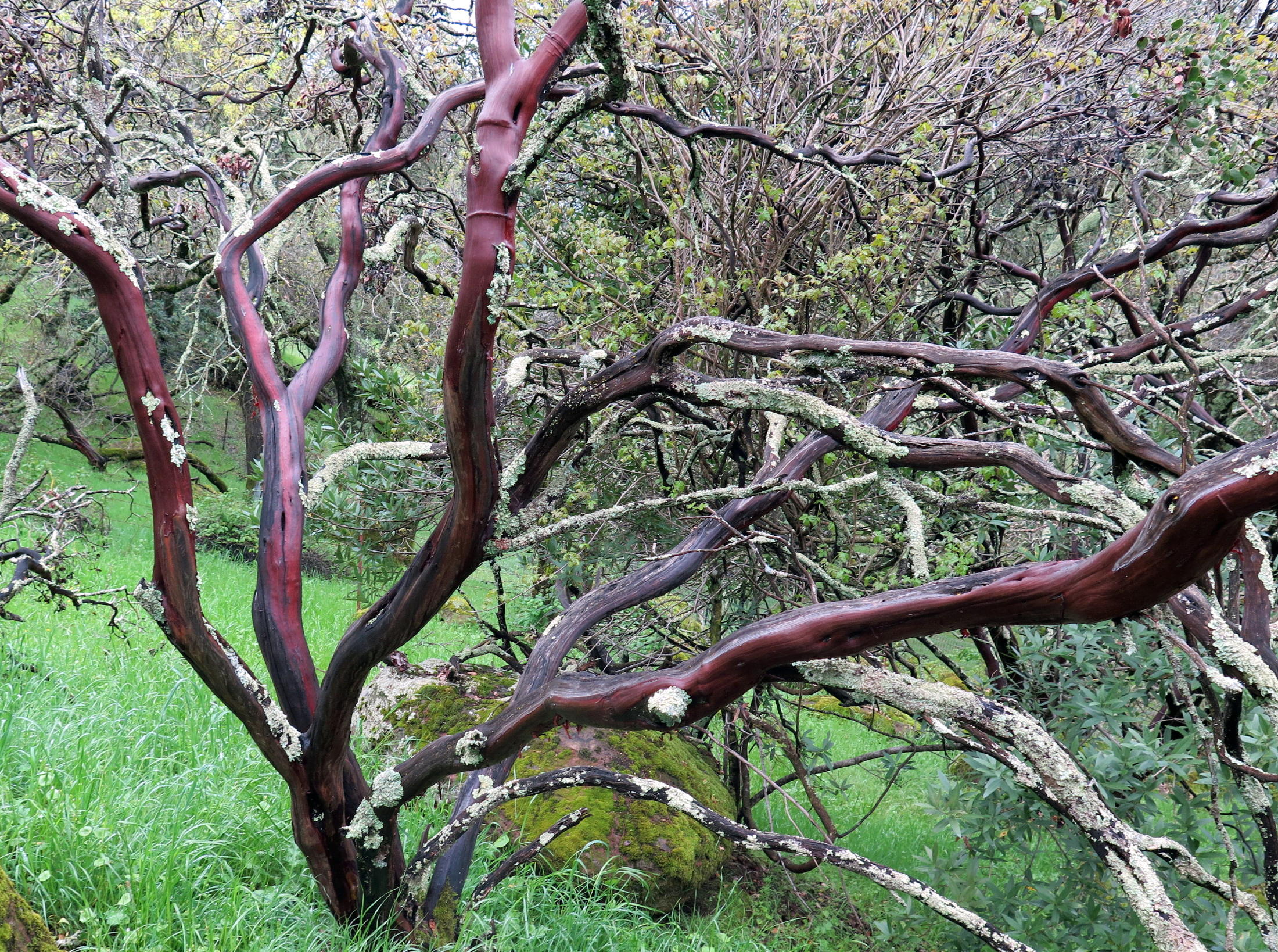
Manzanita trunk |
|
|
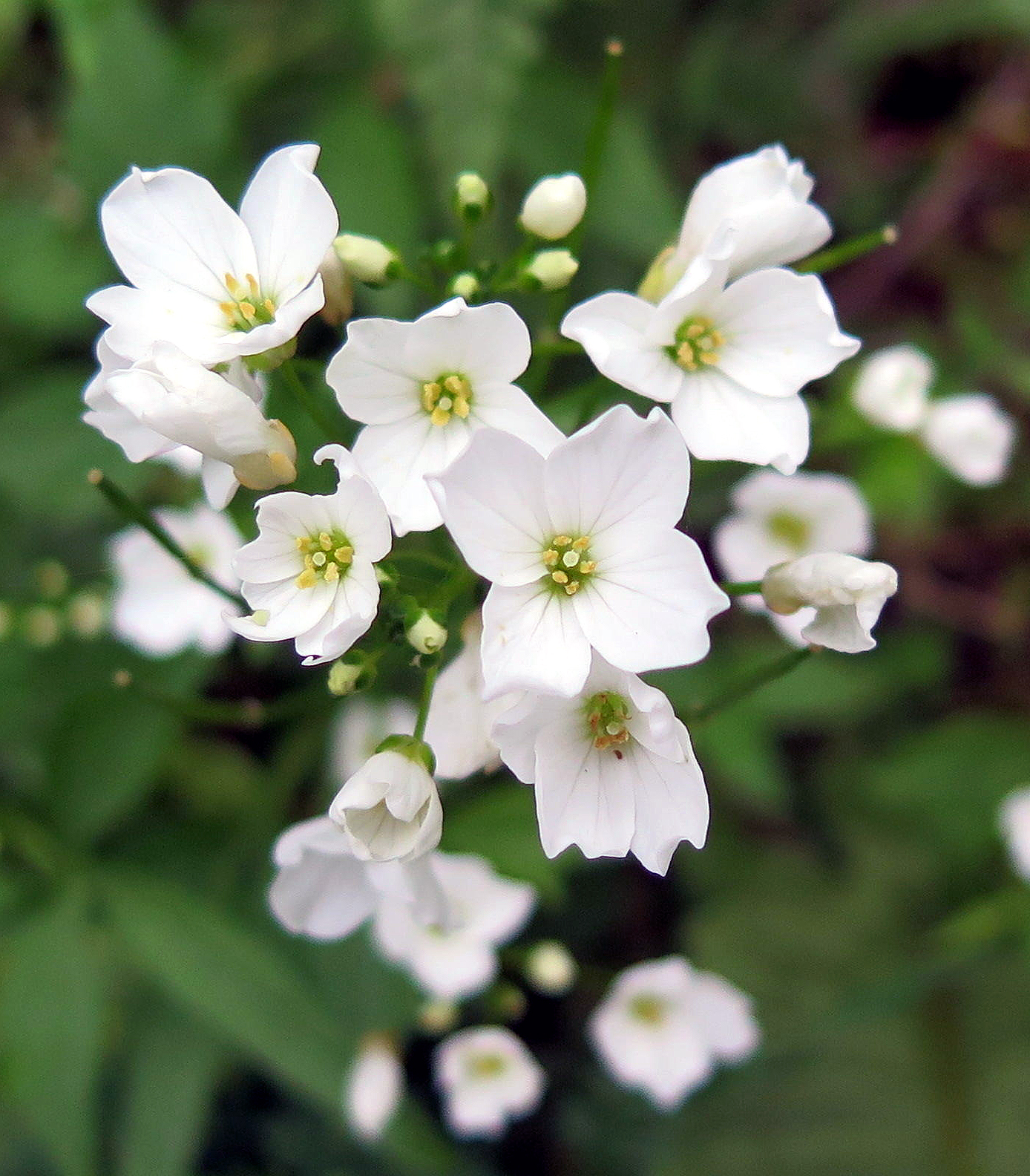
Milkmaids |
|
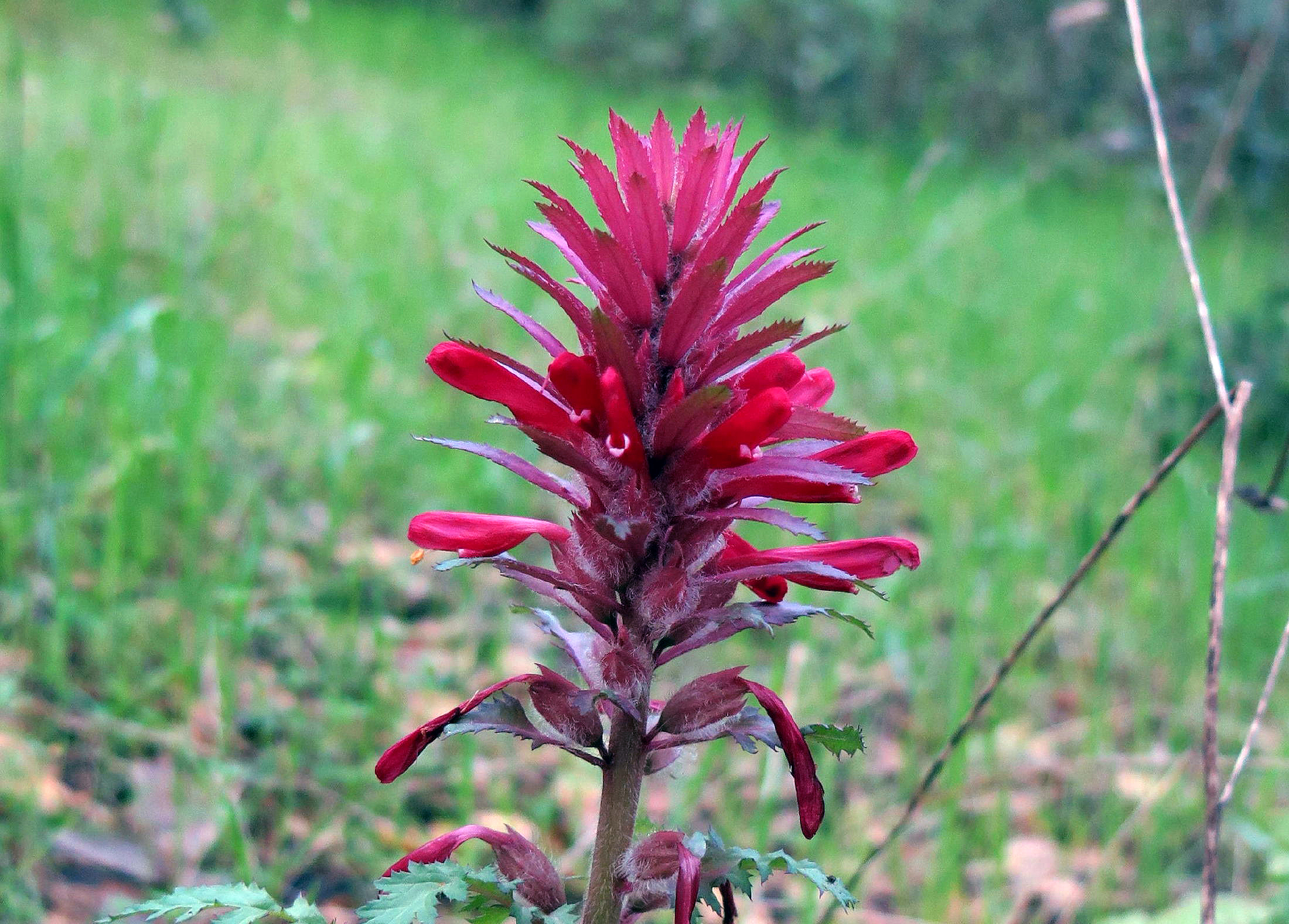
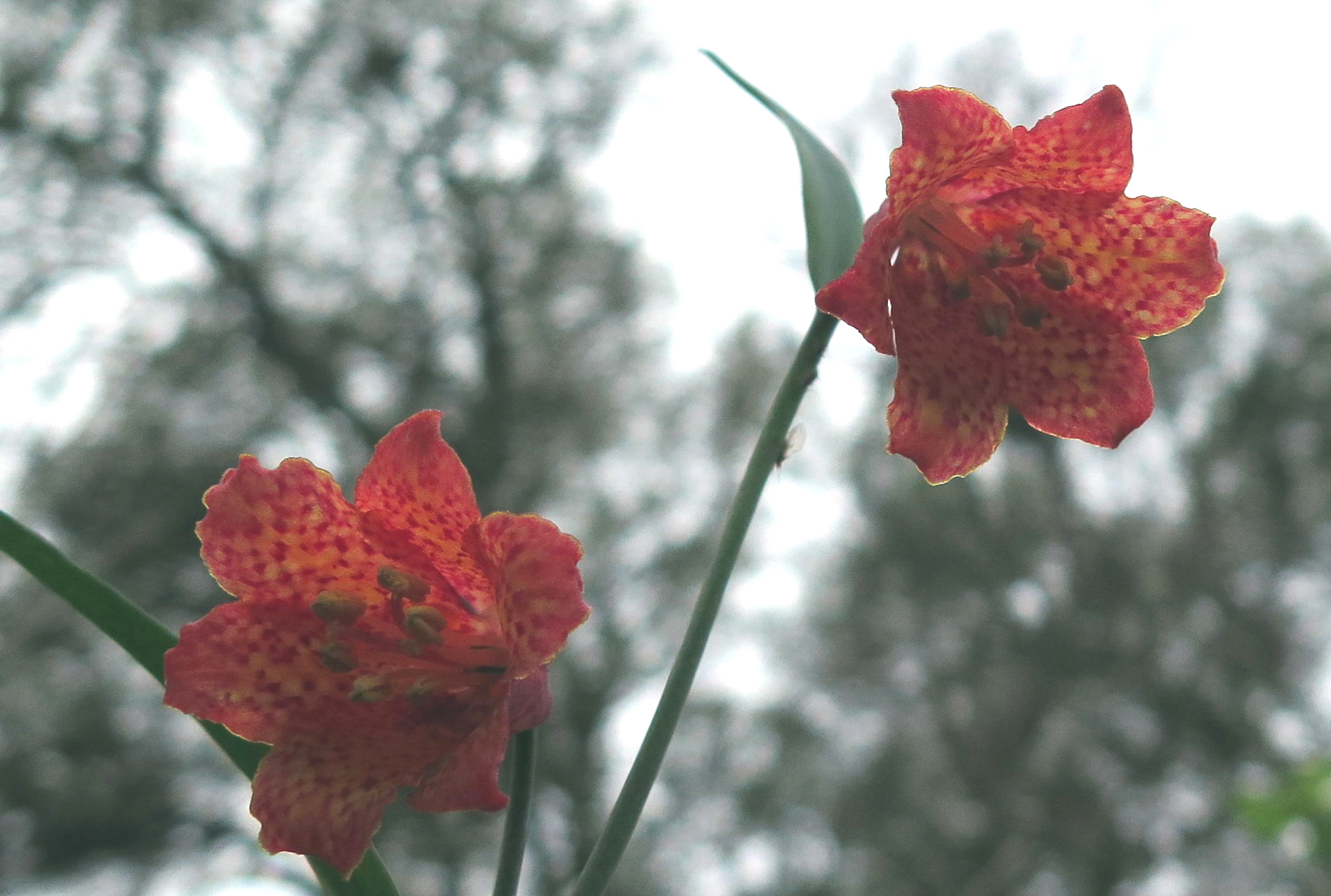
Scarlet fritillary | ||
|
|
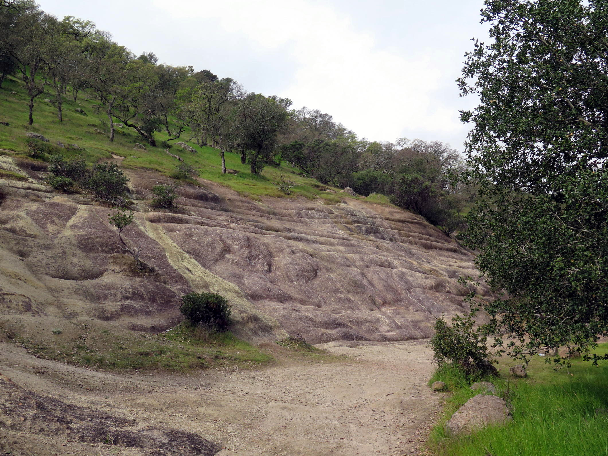
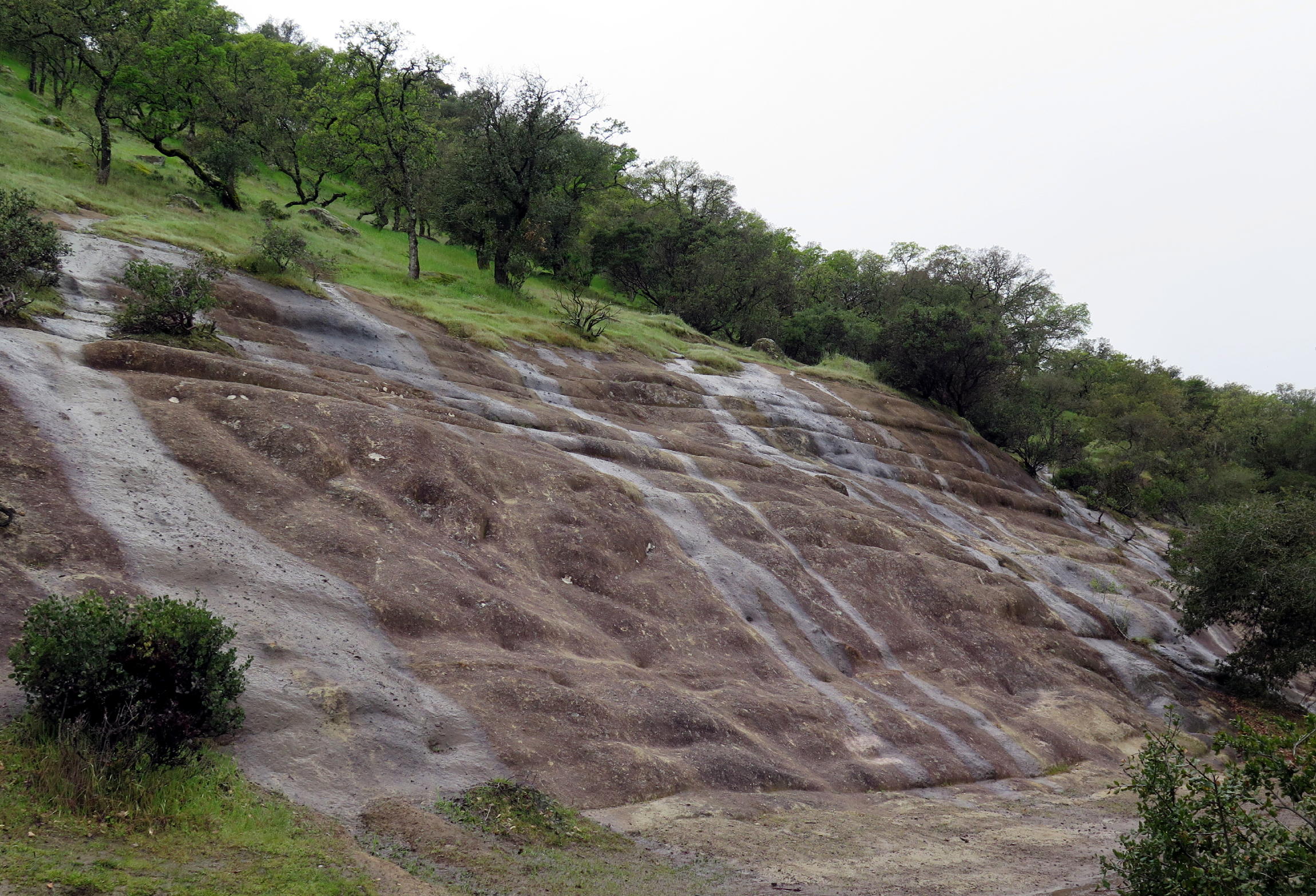
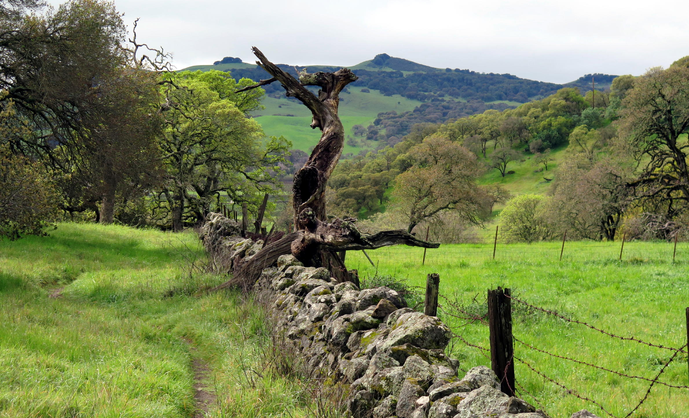
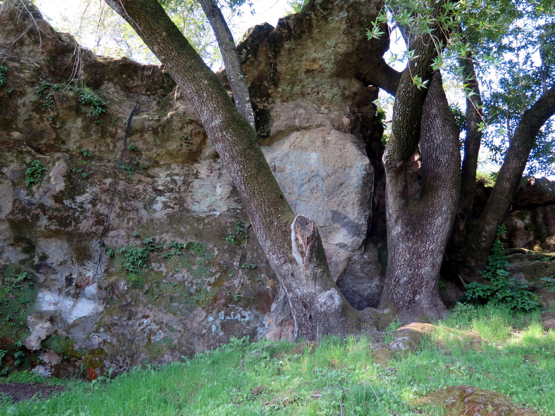
limestone rock flow ? |
|
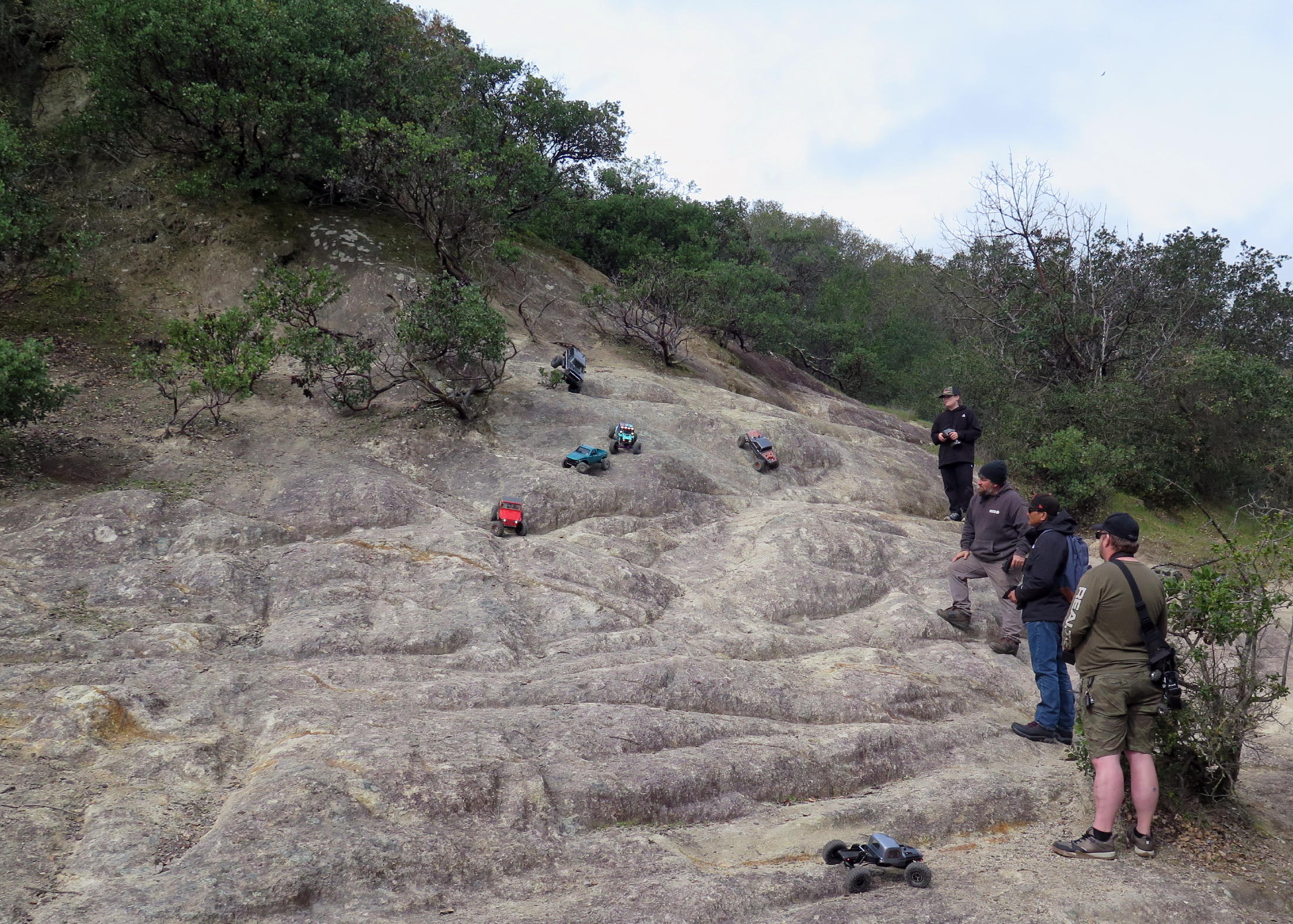
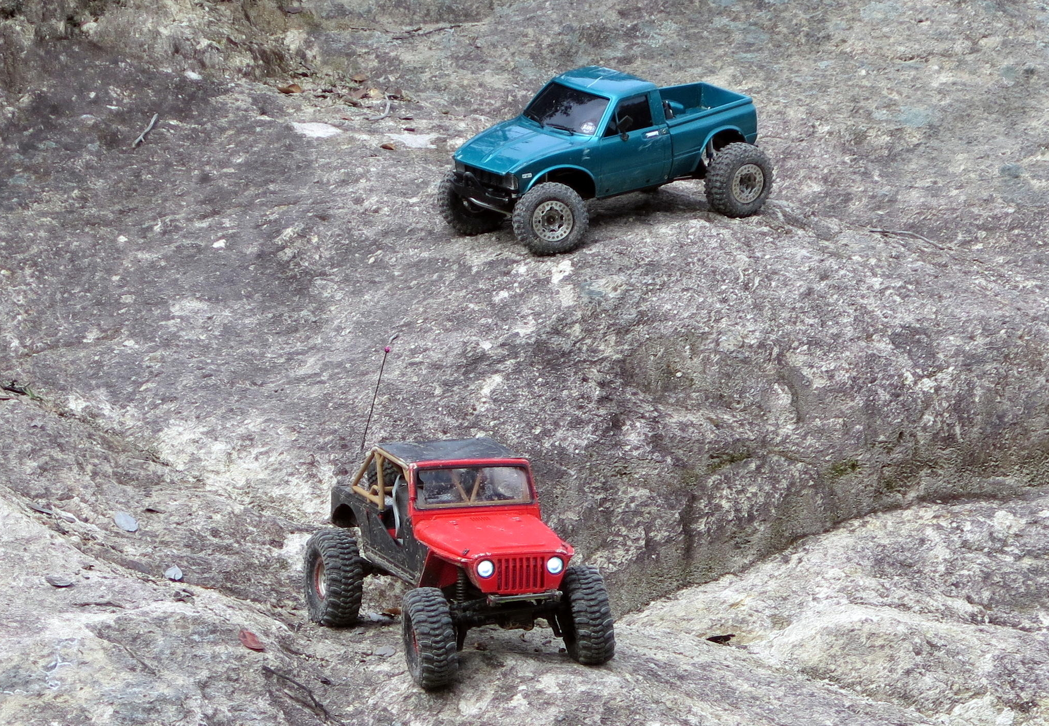
general competition |
|
mini-Big-Trucks, see note |
|
|
Easter Basket grass |
|
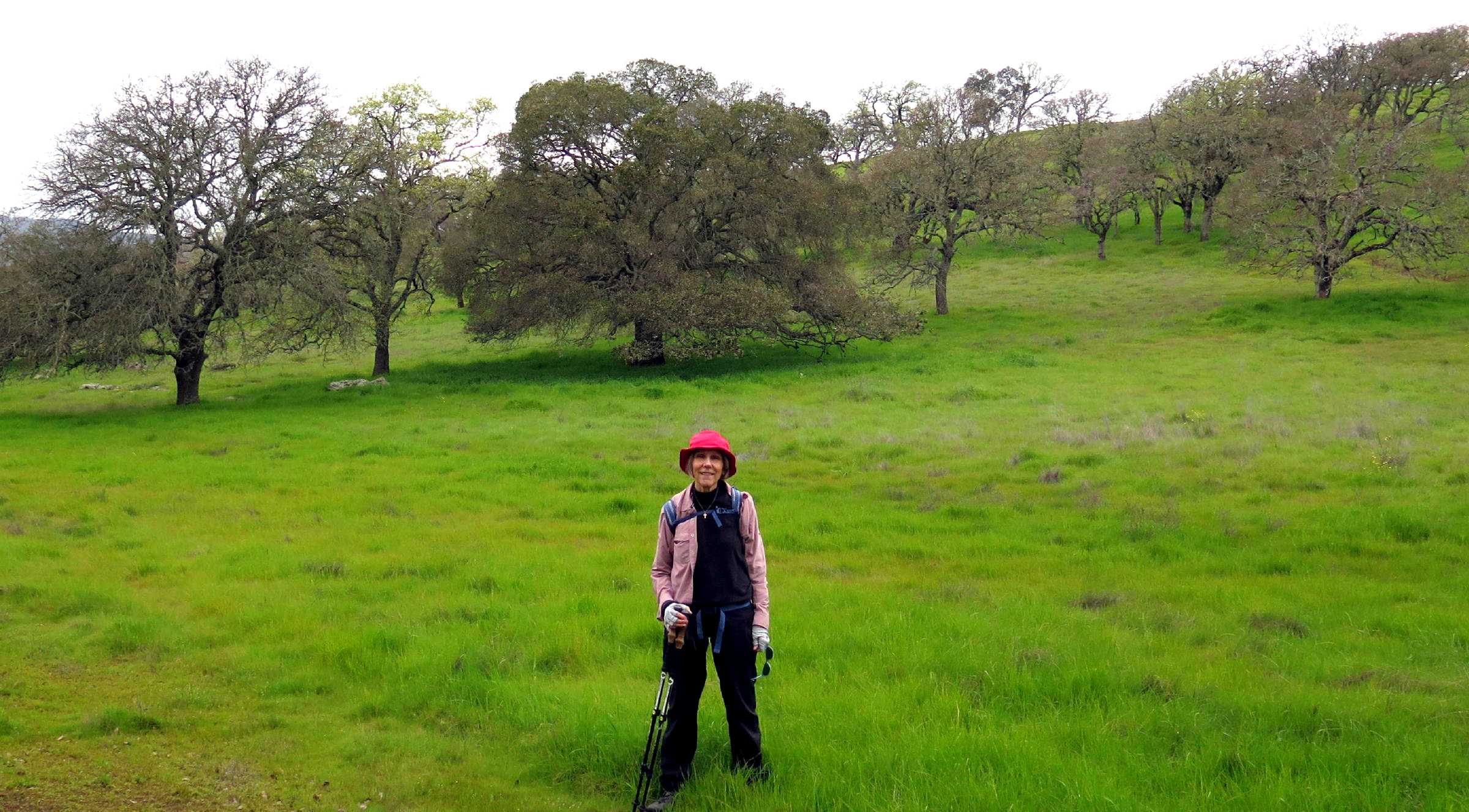
Jean | ||
|
|
|
near the end of the walk |
note 1 - Seeing mini-Big-Trucks on flowing rocks was a surprise. Just after I took this photo, one of the highest up trucks lost purchase & tumbled downhill, taking out two others. I found it amusing, but the 4 or 5 remote operators didn't.
A second technical challenge, at our furthest west point, was a climb up the short but steep Cascade Trail, with boulders of all sizes & often huge steps, on a grade of at least 20% in a few places. We took our time and in 15 minutes gained at least 200 ft. of vertical.
On the drive home, we agreed it is a good sign if we can still do technical stuff like this.
Btw, the alternate to the Cascade trail is a series of three very steep switchbacks on the Unknown Trail, which we all took on the next visit.
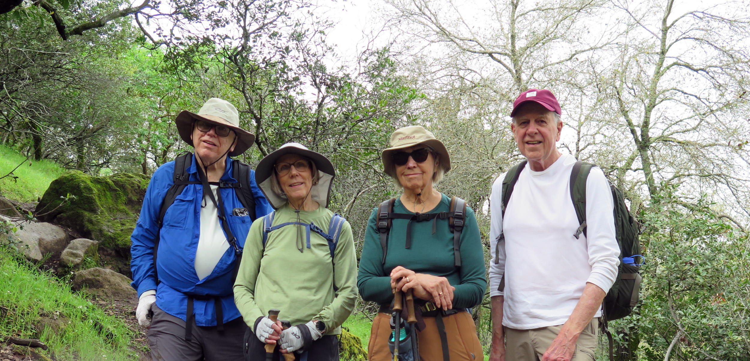
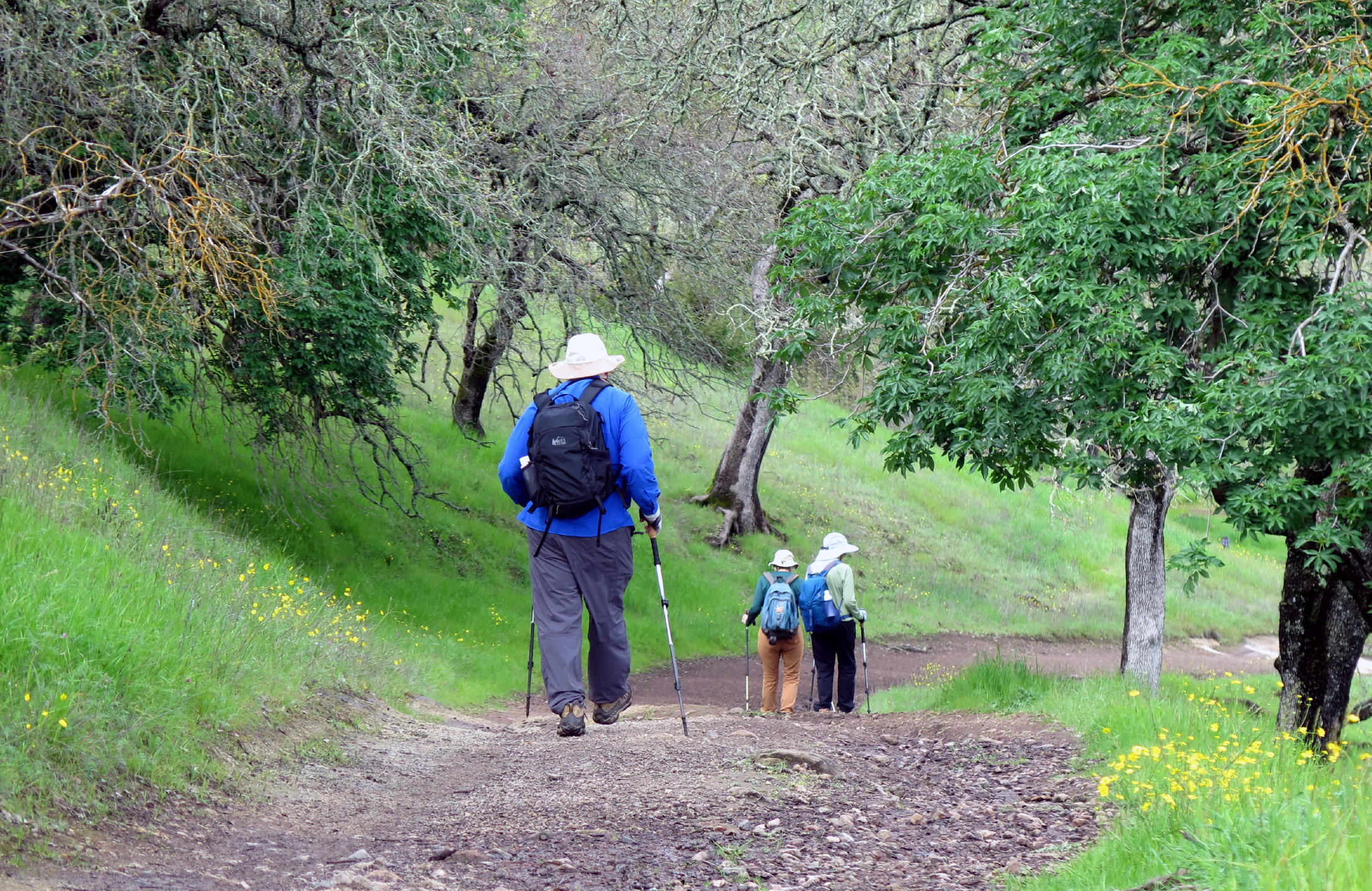
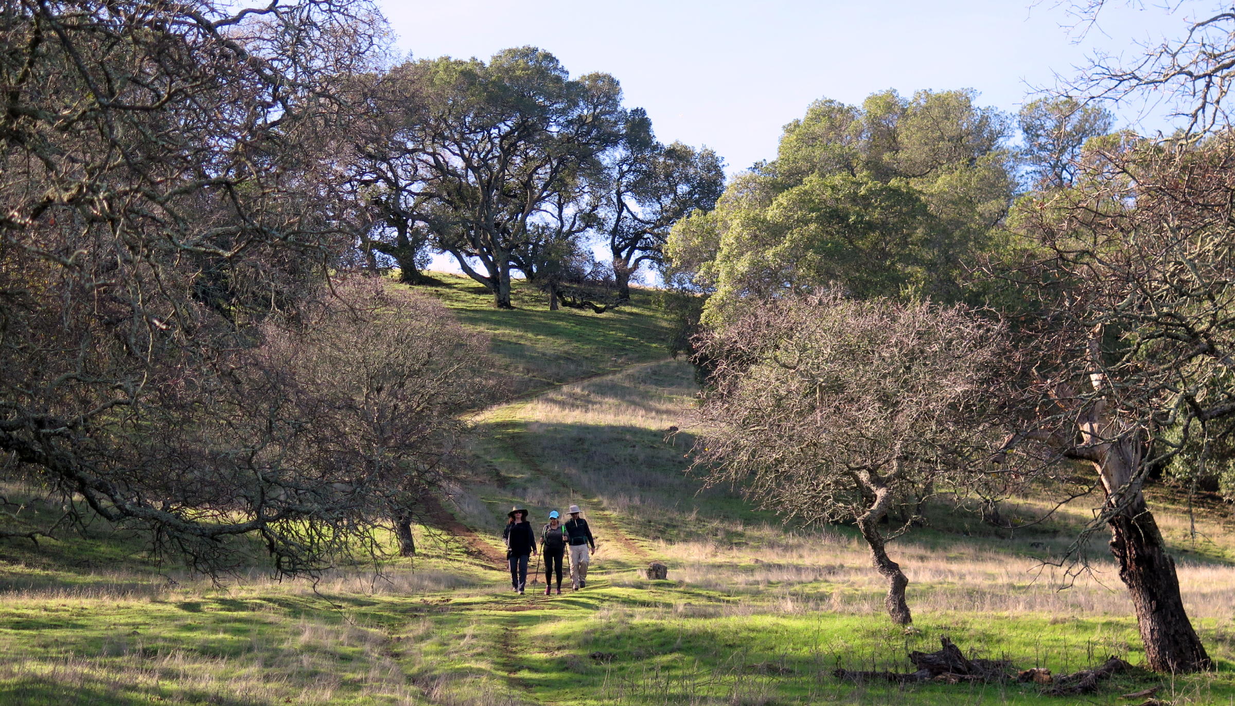
The second visit to Rockville Hills was on Weds., Feb 25. Because of uncertain weather, only four of us ventured out: Kathy, Frank, Jean, & me, and it was worth it.
Turns out what had been a pretty weak storm system left the area hours ago, leaving behind trail puddles. The air seemed very fresh with only light winds.
 |
heading north at on the Quarry Trail |
 |
oddball geology, again |
 |
|
 |
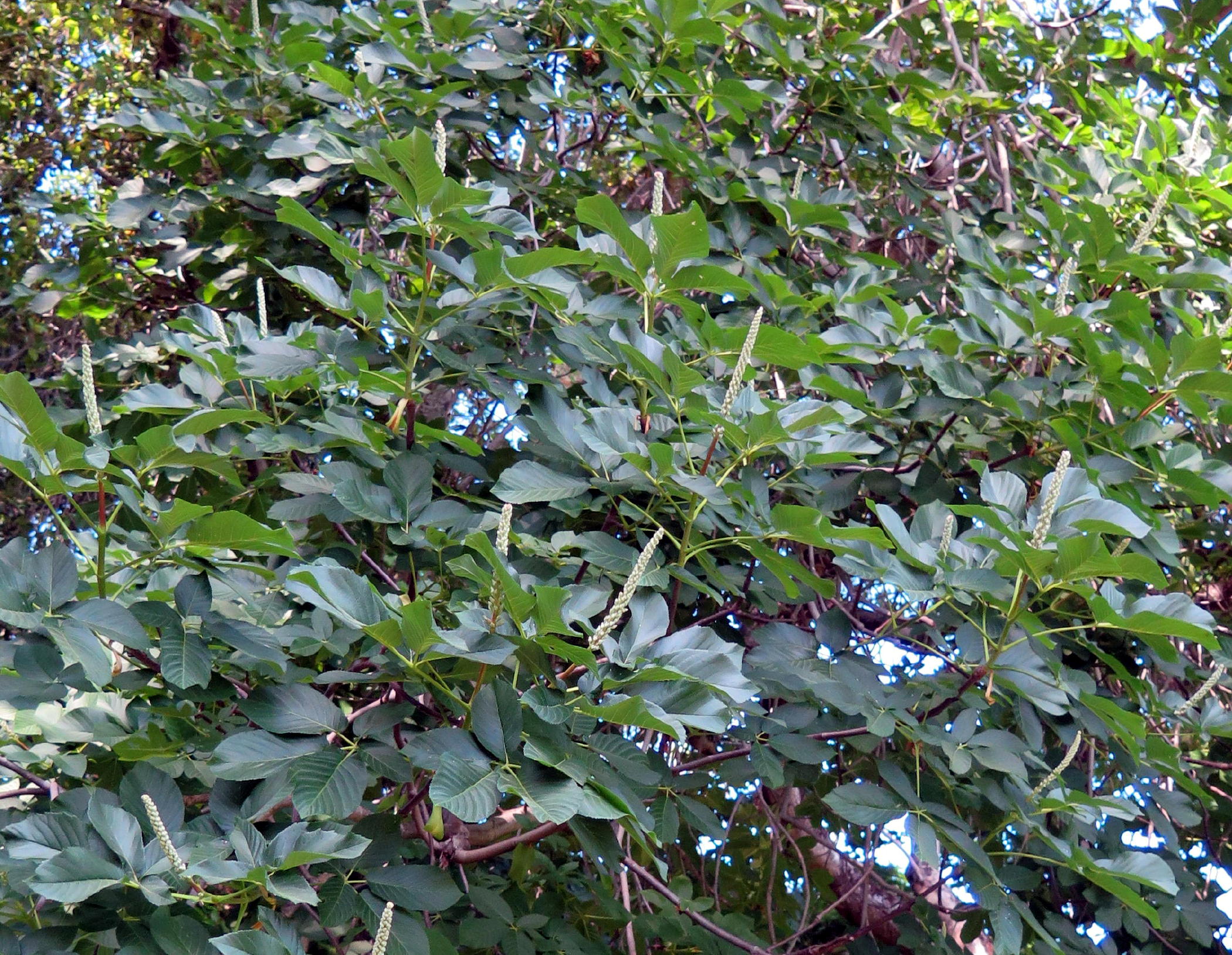
Manzanita |
 |
 |
||
 |
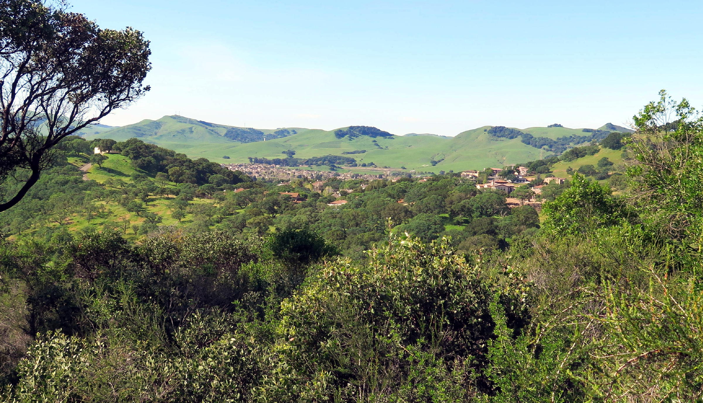
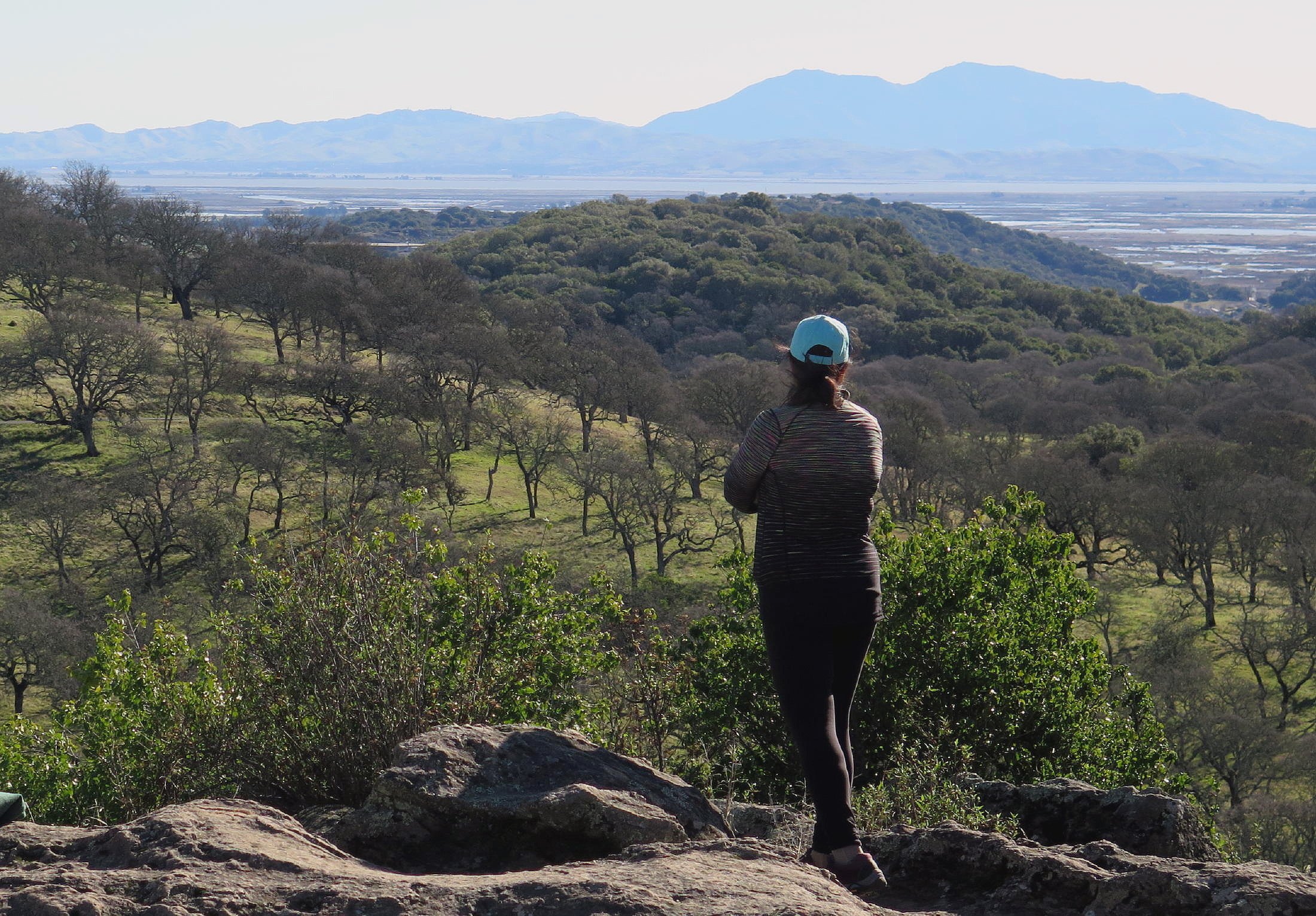
Solano County scenery |
 |
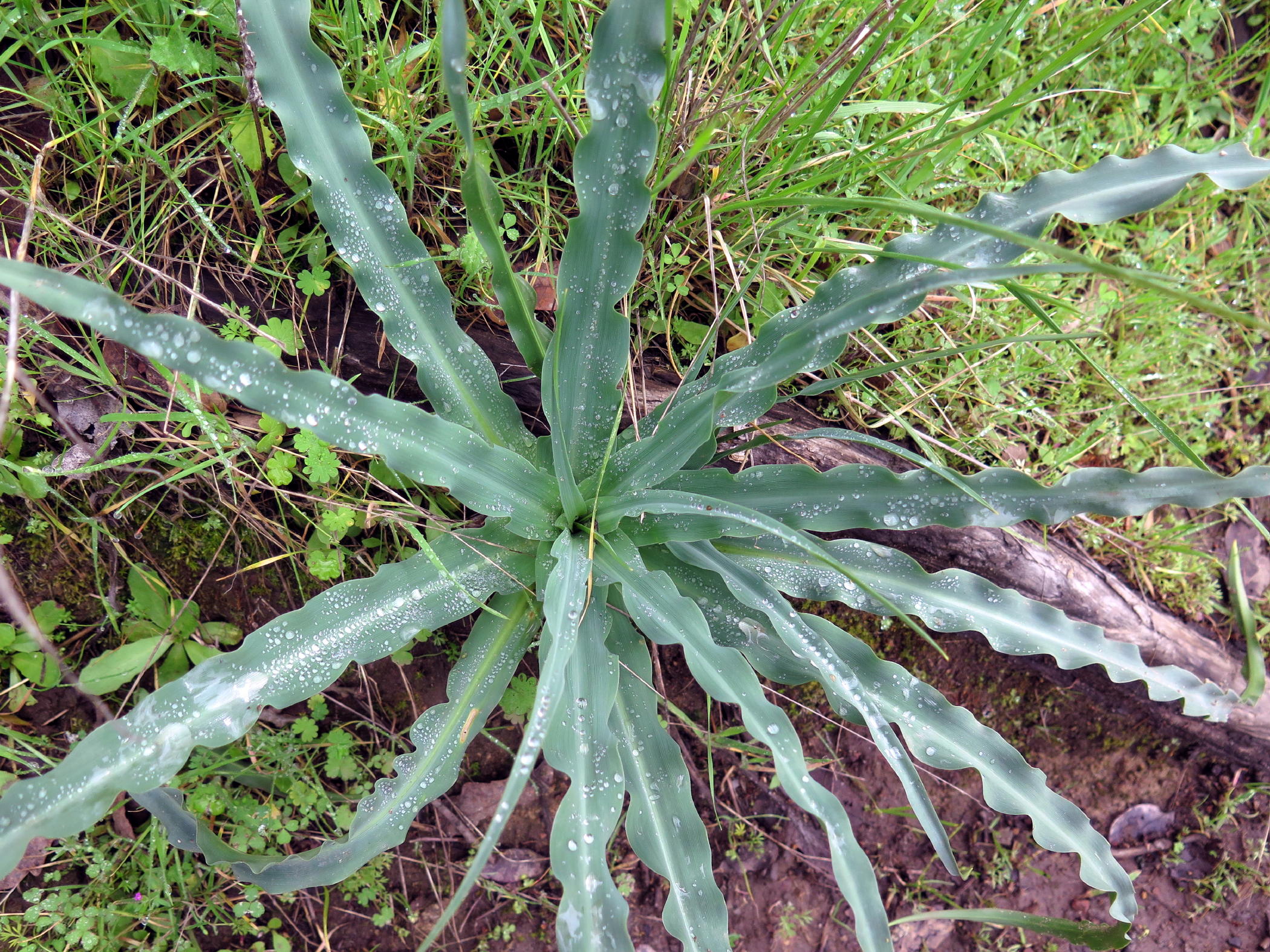 |
Wavy-leaf soap plant | |
| the group |
 |
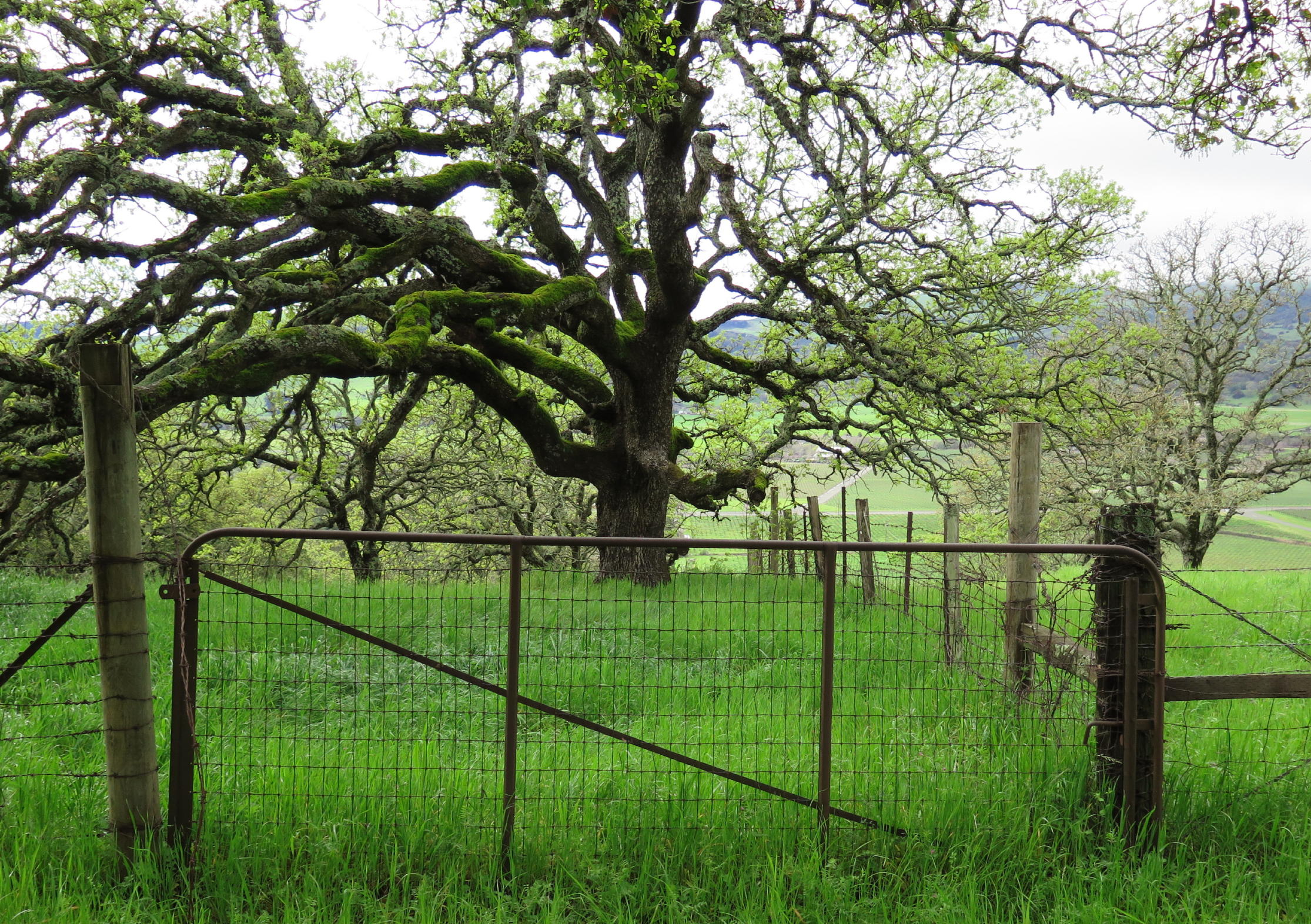
lopsided Oak near the lunch place |
 |
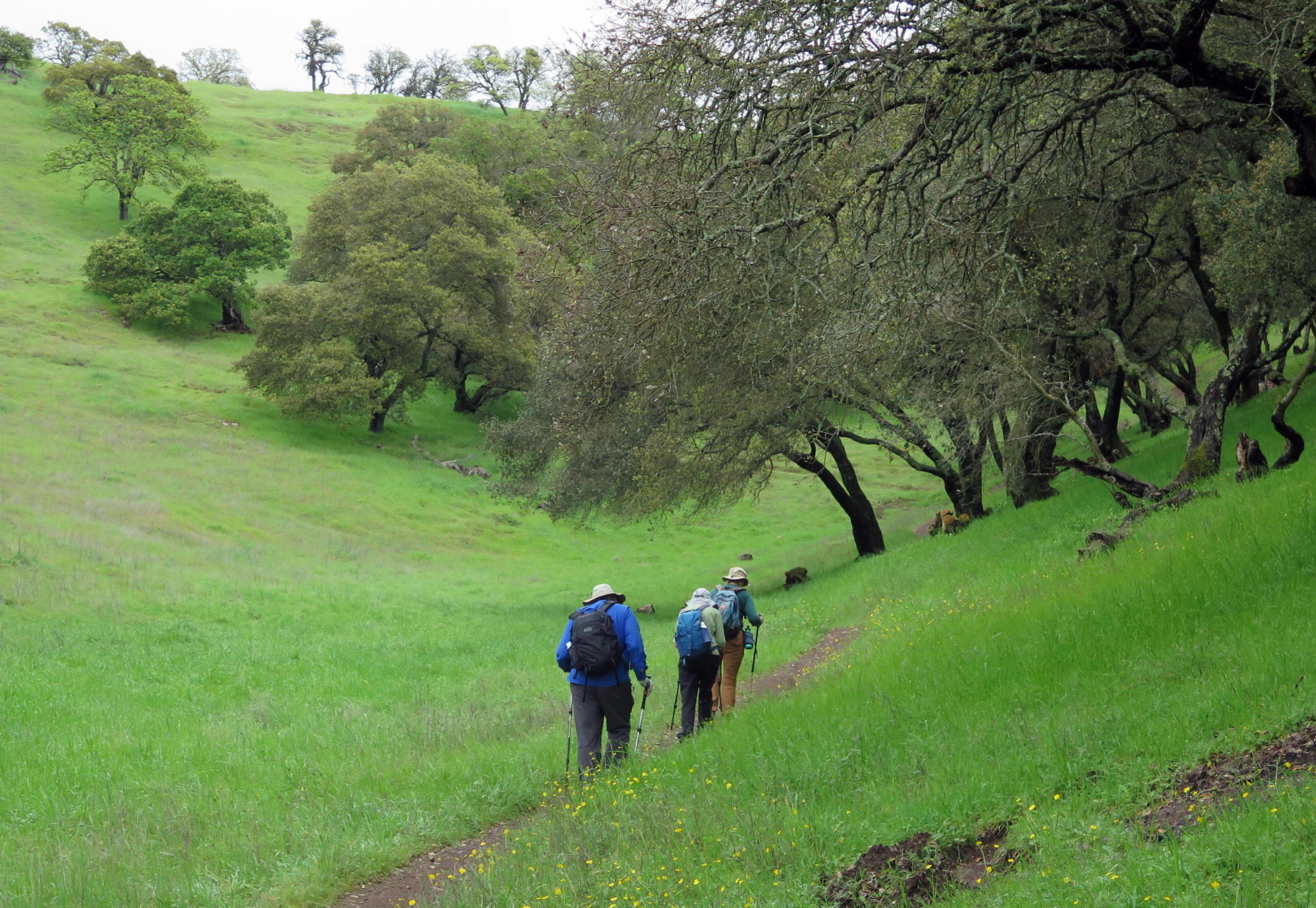
on the return route |
 |
 |
.jpg) |
Blue dicks, a Brodiaea |
 |
almost back |
On AllTrails this is the Rockville Regional Park Loop Trail, 5+ miles long with 600 ft. of gain and we all enjoyed seeing some new parts of the park. We found a picnic table for lunch on the Twisted Tree trail that was familiar from previous visits.
On the way back we took the usual trails past the lakes & restrooms & downhill back to the carpark. We were back on the freeway at 2:30 pm & home by 4pm, a great day out !
On Monday, March 16 I came back for a solo walk, to explore trails for the next group walk. I've never seen the park so un-crowded.
 |
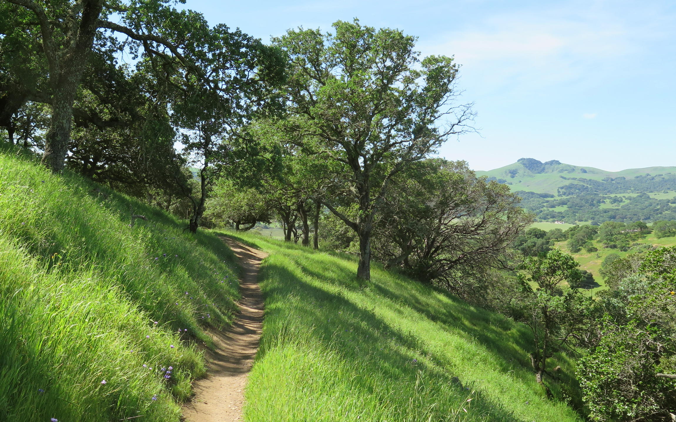
view from Upper Tilley Loop |
 |
Lower Tilley Loop |
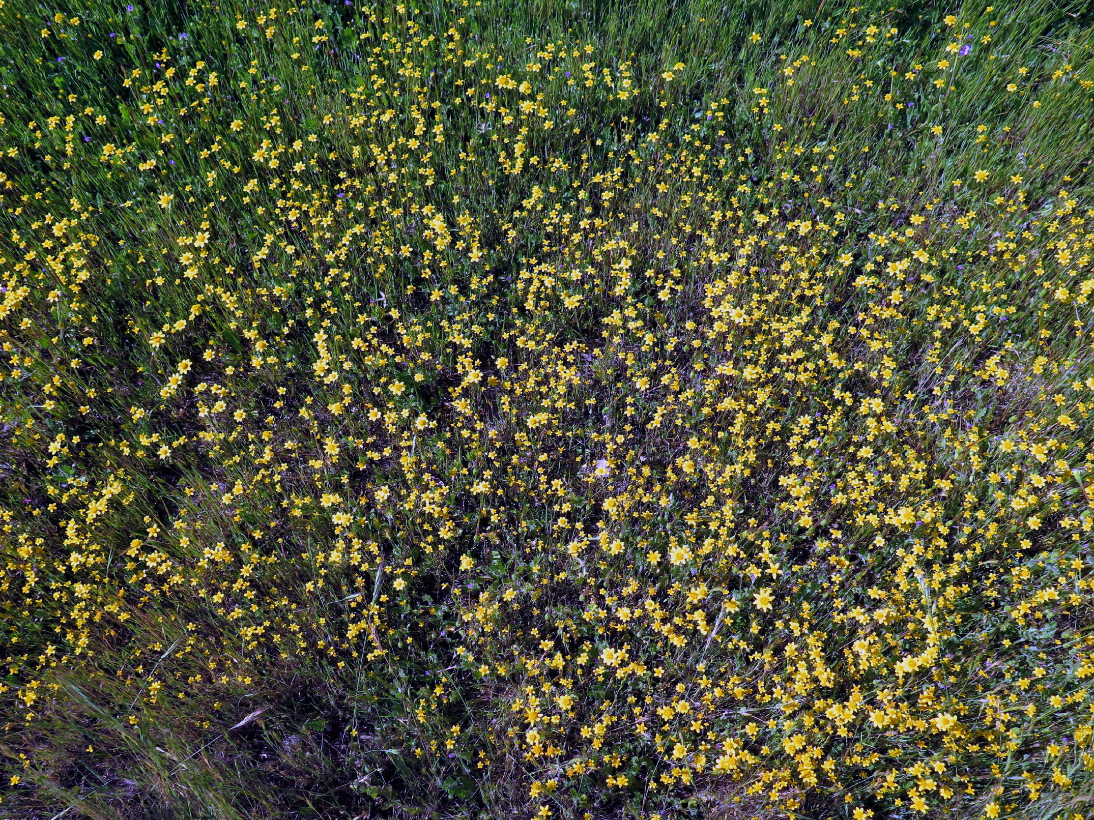 |
Baker's Goldfields |
 |
took a coffee break here |
 |
California Buckeye | ||
 |
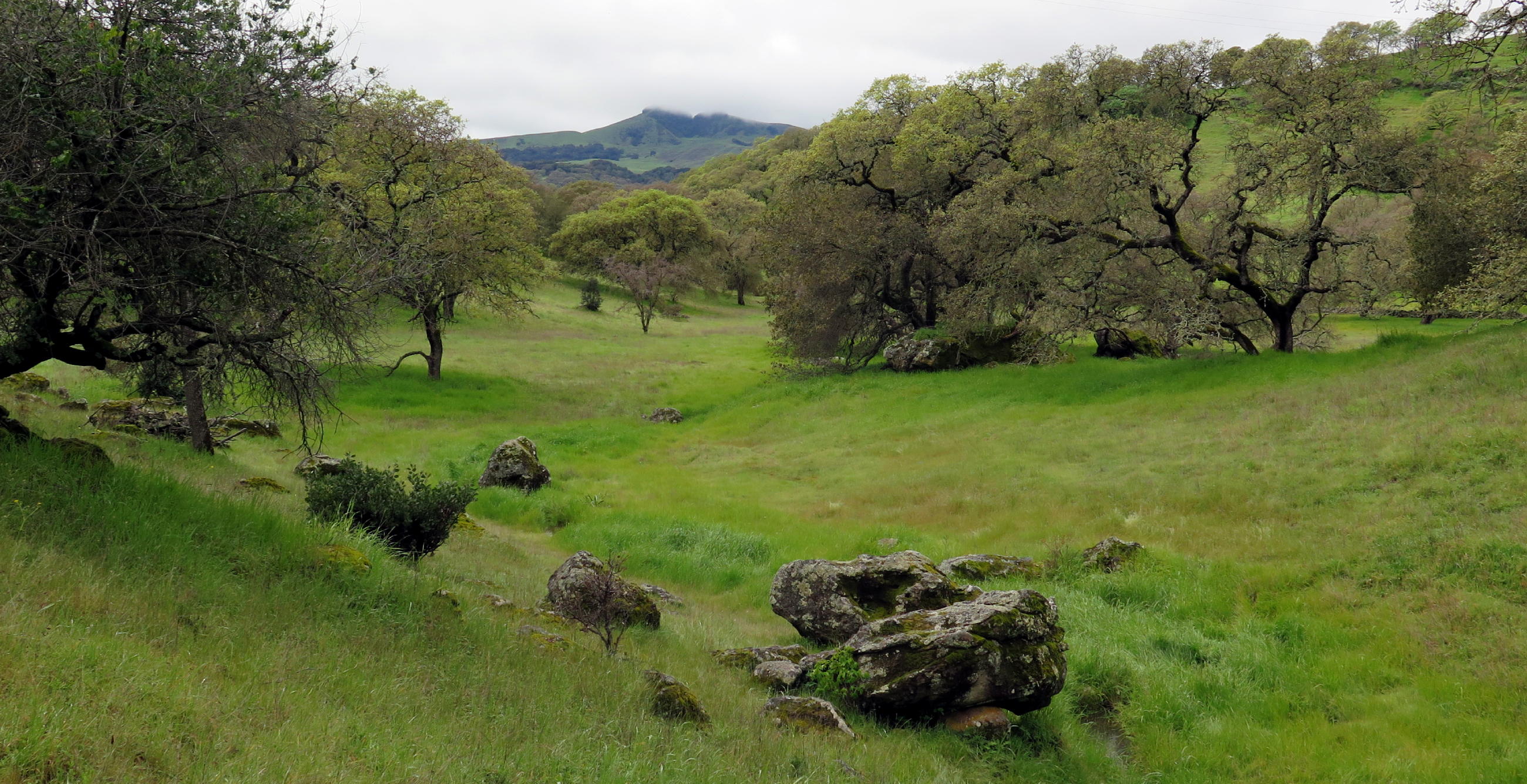
Elkhorn Peak in distance from Outside Loop |
 |
 |
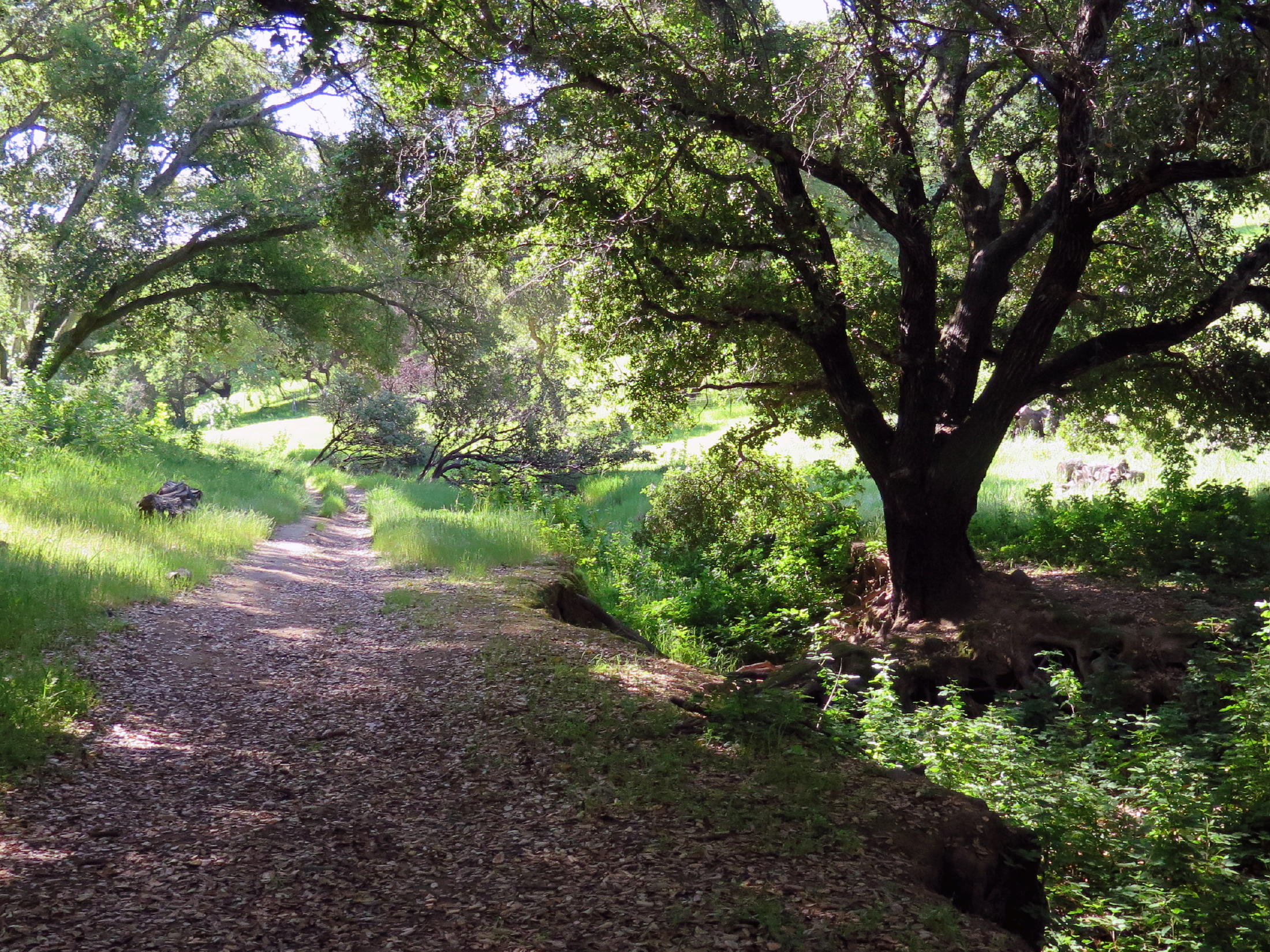
return route |
There was one more group walk at Rockville Hills on Monday, March 30. Eight of us ventured out, in spite of a storm forecast for arrival later in the day. It was overcast and I didn't mind having forgotten the camera.
The group was - Dave, Marcia, Barb & Barbara, Frank, Donna, Jean, and me.
We got in 5 miles of walking & about 700 ft of gain. This included a short but really steep climb that seemed barely possible, but, all of us made it.
Besides AllTrails, other map sources for Rockville Hills are:
Solano Resource Conservation District - copy this link - solanorcd.org/rockville-hills-regional-park.html
City of Fairfield, use - fairfield.ca.gov (I'm not using actual links bcz they are often blocked. )
return to index
Photos from Rockville Hills in 2019
 |
Linda w/ Raj & Surjit |
 |
Raj at Rock City & Mt. Diablo across Carquinez Straits | |
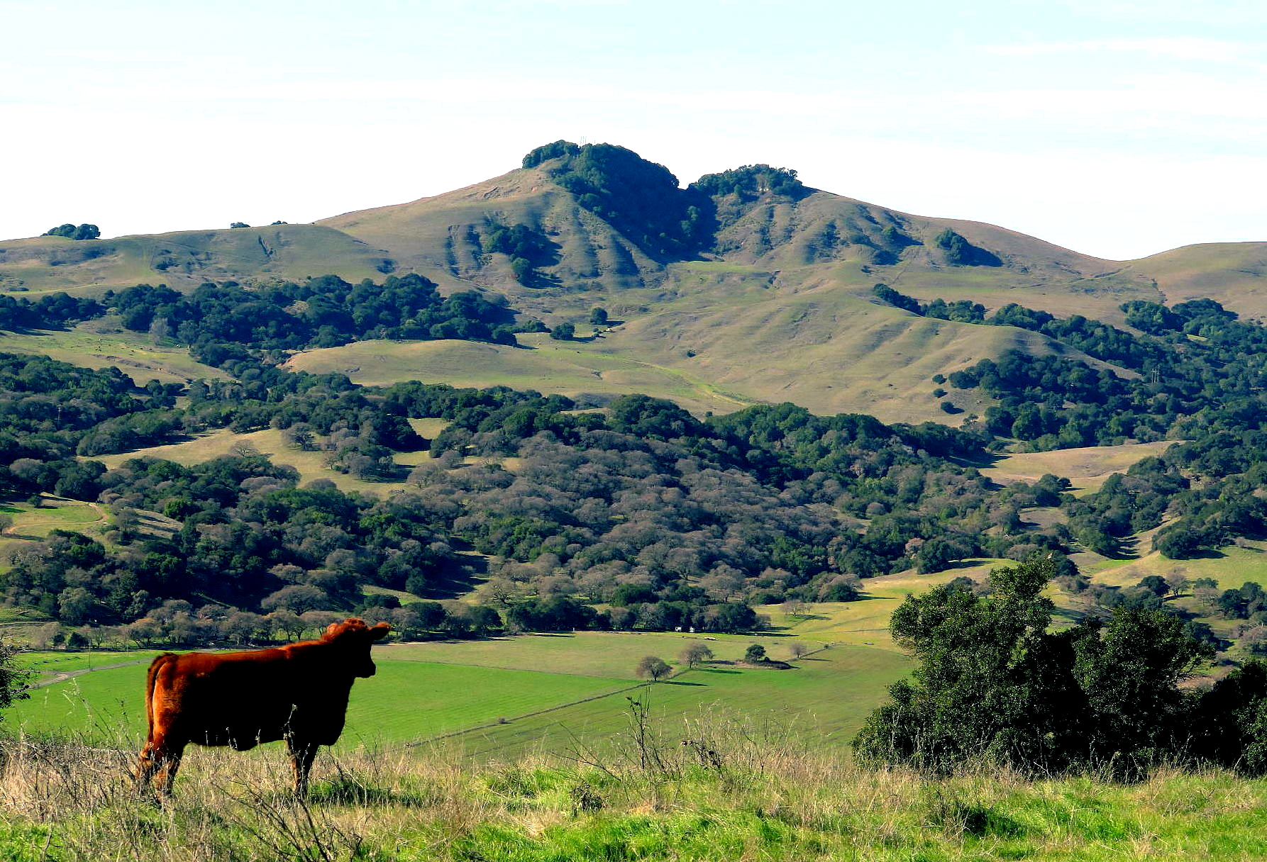 |
Elkhorn Peak |
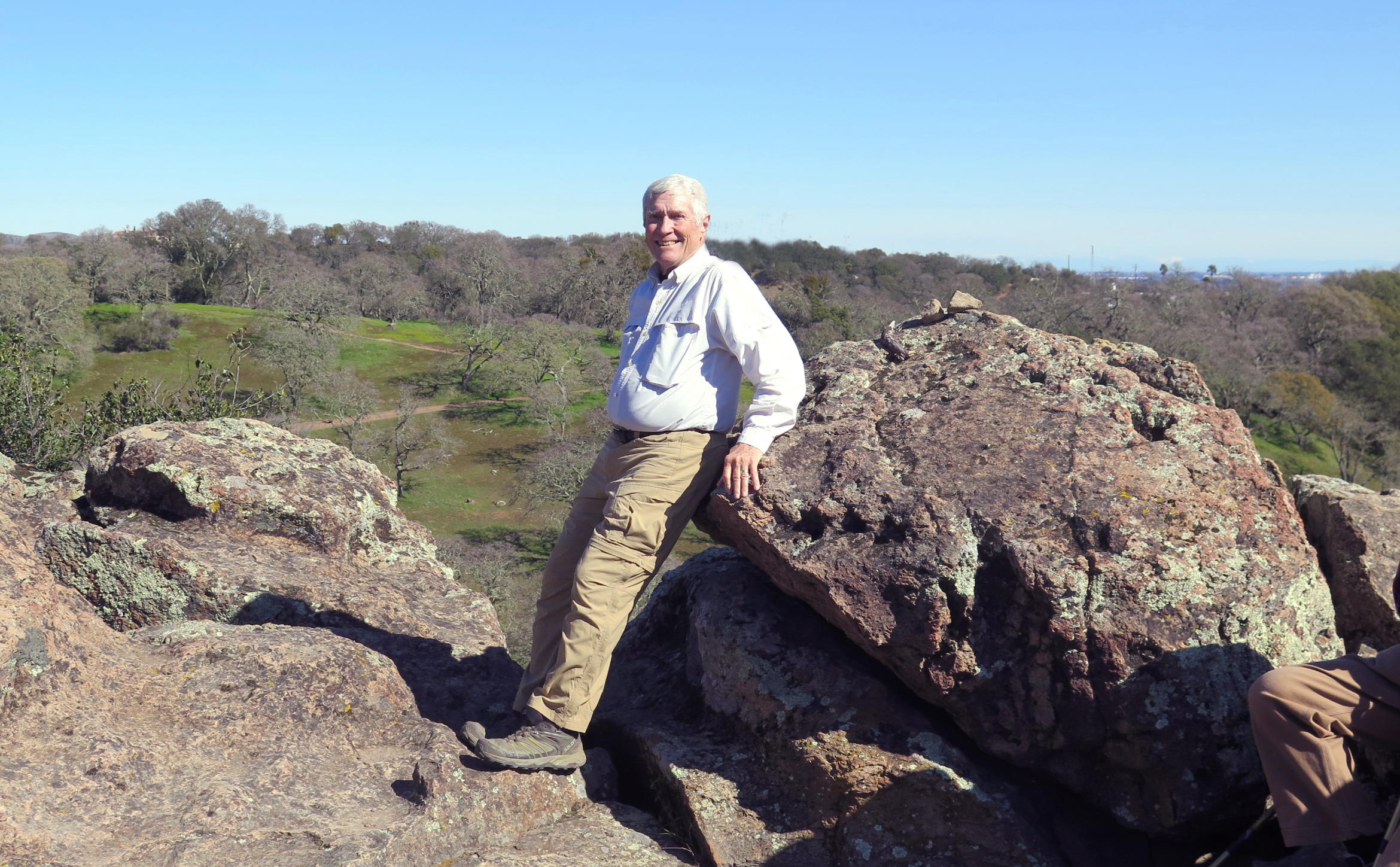 |
Rich at Rock City, Feb. '23 |