,Ireland 2023 - Day 6 & 7- Ring of Kerry I - Knightstown & Portmagee
return to Ireland 23 index
return to mdimage index
On Wednesday morning (day 6) I acquired a rental car in Killarney & left for the Ring of Kerry drive about 10:30 am. The plan was to drive (anti-clockwise) from Killarney to Knightstown, on Valentia Island (50 miles), then the next day to Portmagee (only 4 miles), and finally to Kenmare (56 miles), giving me three nights out on the 110-mile loop that begins & ends in Killarney.
It was an easy drive from Killarney until I hit a huge pothole, near Killorglin, and instantly had two flat tires, on the passenger side. The tow truck driver later said that recent heavy rains had caused pavement washout. I didn't see it coming, nor were any public works roadway dept. warning signs like in most modern countries ! (it had been like that for days).
It took the rest of the day to get back on the road & I was glad to arrive at Knights Town just before dark.
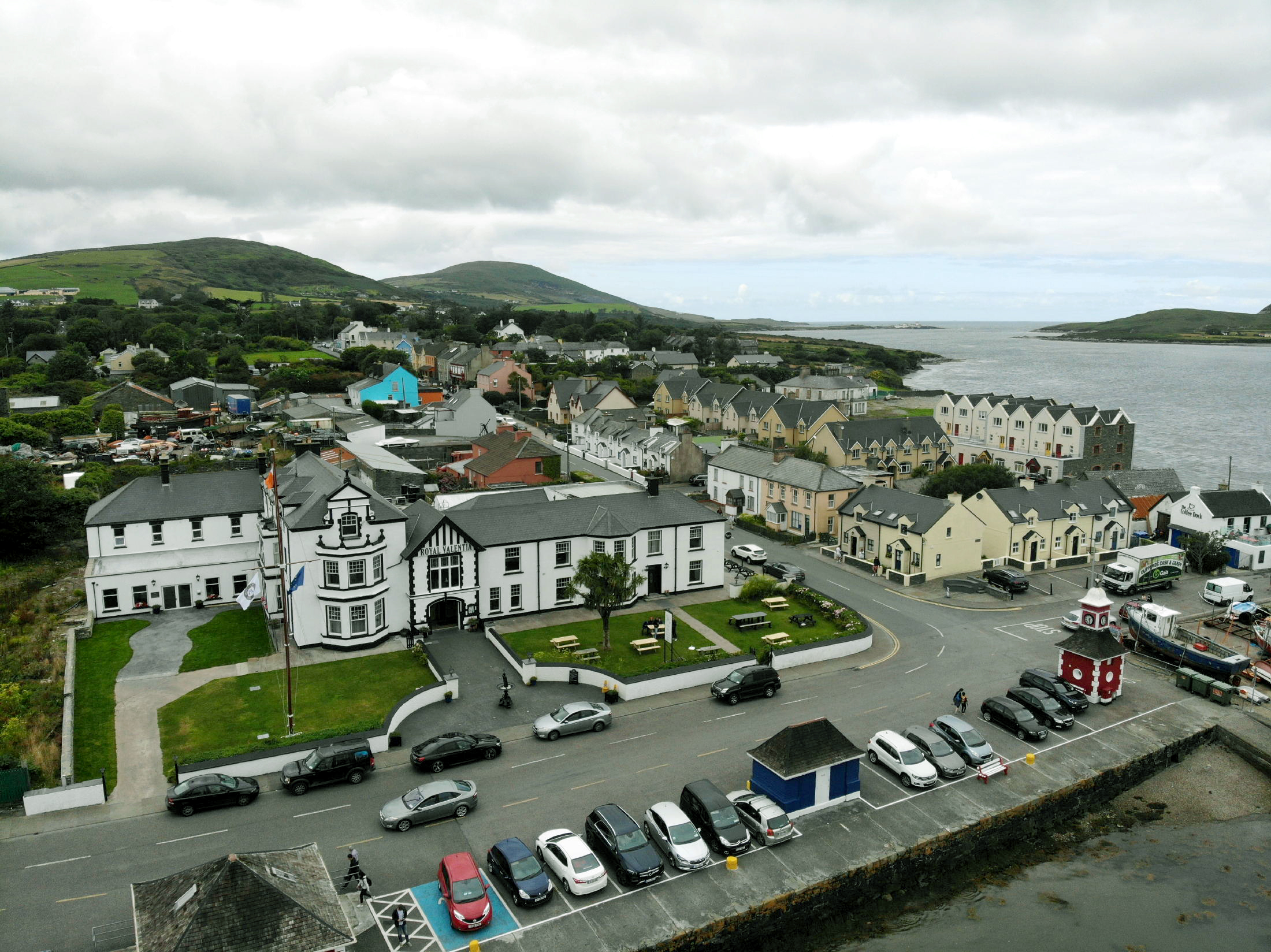
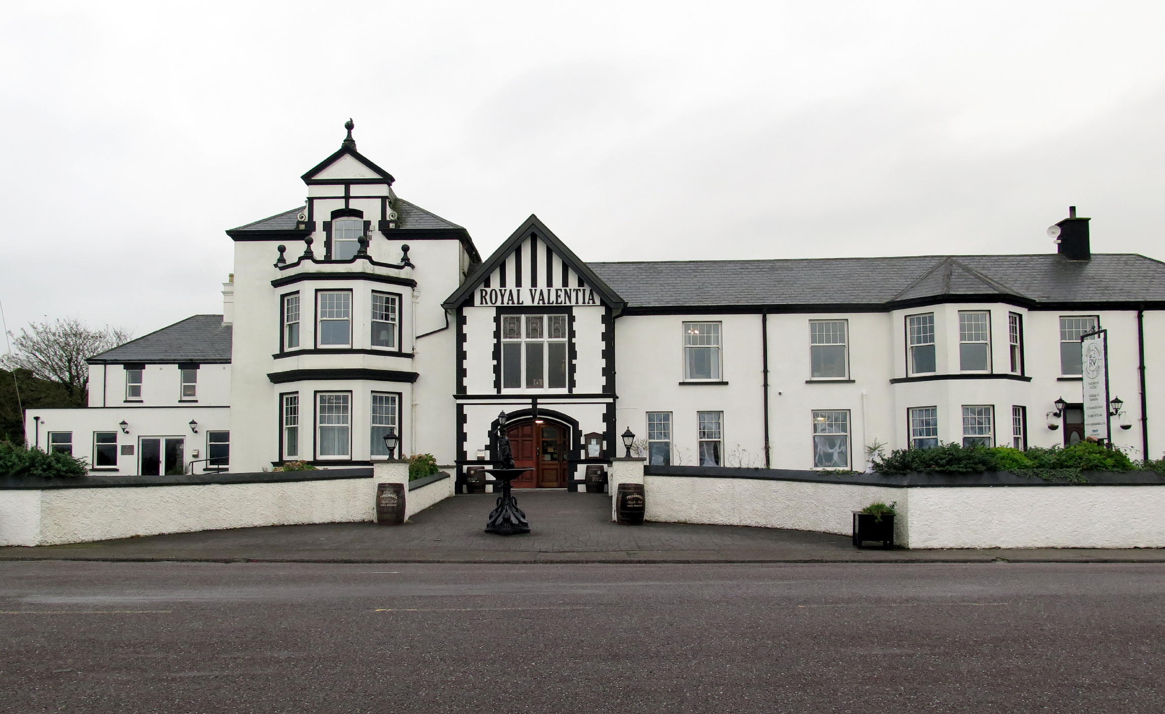
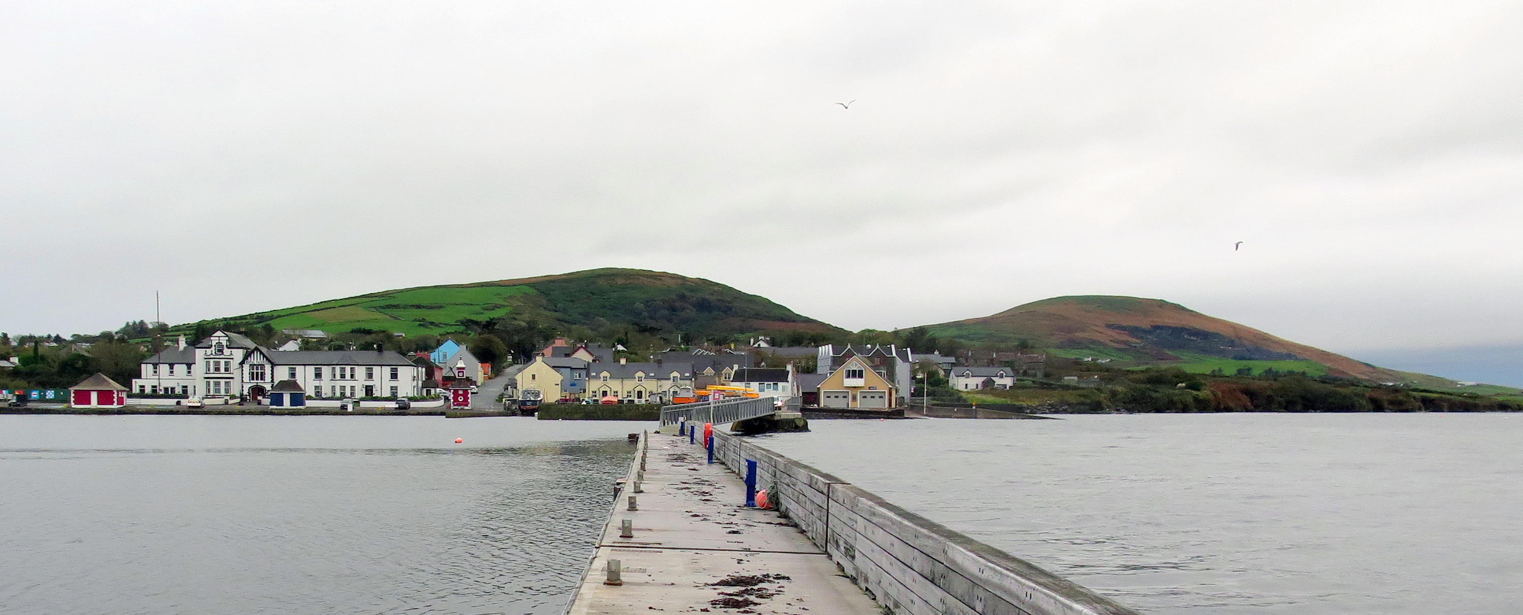
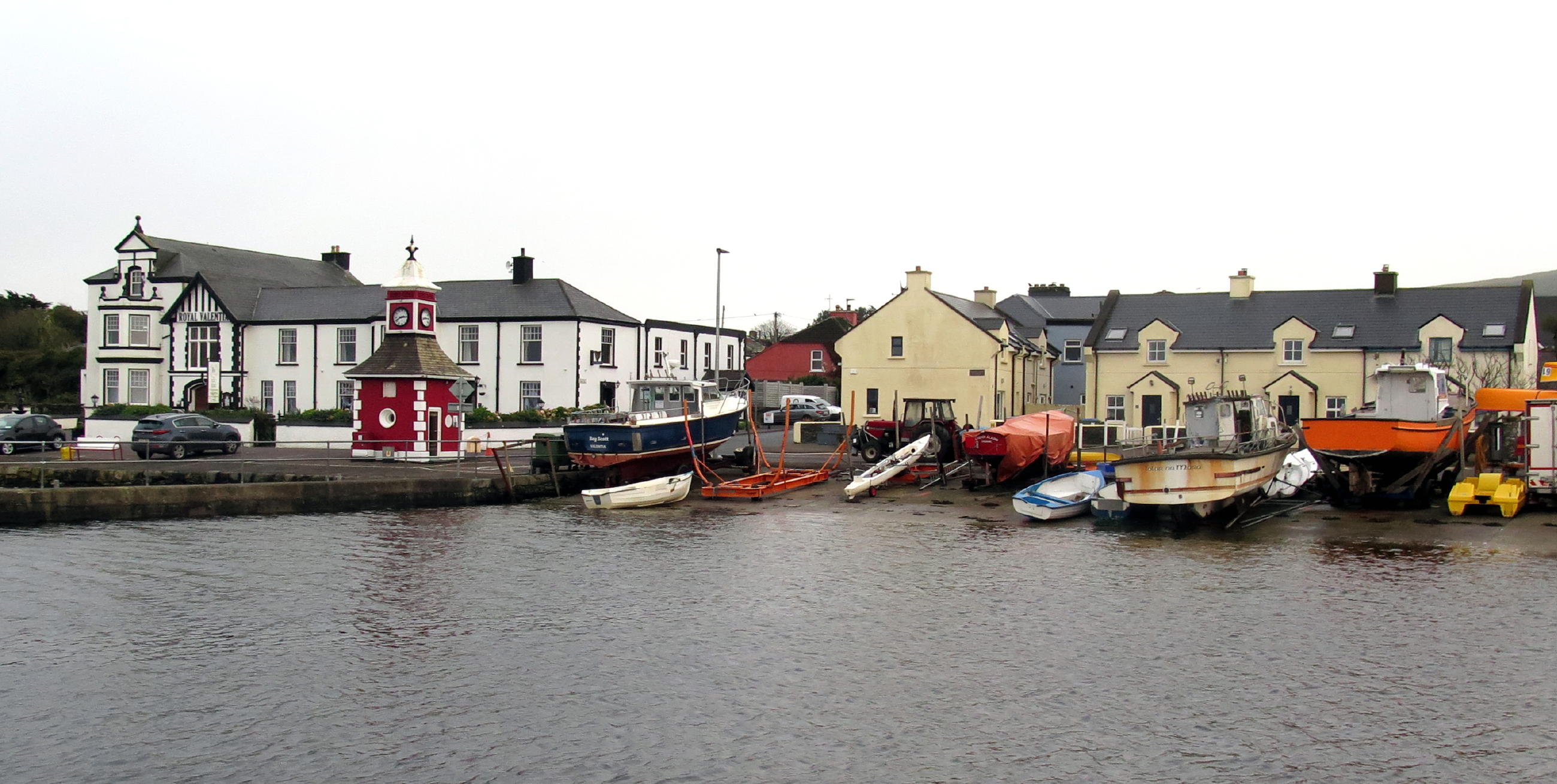
Knightstown - The Royal Valentia Hotel is in the center of this tiny town, with only one street, which ends at the harbor. Built in the 1830s, the Hotel has an old-timey feel, and the old wide plank floor has a few uneven spots on the short walk to the restaurant, where the walls are lined with old black & white photos of nearby shipwrecks.
I read that during the tourist season, this place has traditional Irish music, especially on weekends, but at this time of year, it was a quiet dinner, with only a few locals attending, and no music.
I had a terrific fish chowder appetizer, made with four kinds of locally caught fish, after all, the town is on the Wild Atlantic way.
The cook & waiter run the Hotel, owned by the waiter's Mom. They helped me move upstairs once we figured my ground floor room heater was kaput. The Victorian style bedroom upstairs had a high ceiling & a good view of the harbor. No other cars were parked out front, so I assumed I was the only overnight patron.
On Thursday morning (day 7) I was the only breakfast attendee at 8 am, served by a pleasant young woman from Ukraine, with perfect (US) English. She said her husband was in their apartment, in town, cramming to learn the language, so he could get a job. And there are jobs, she added.
The Americano w/steamed milk that came with breakfast was so good that I asked for a second one, to go, and enjoyed a fifteen minute walk to the end of the town pier & back.
What a sleepy place, wind-free & quiet ! Huge fog banks were on the move, and the light kept changing.
note - you can enlarge any part of a picture by left-clicking in and then out again (with some exceptions).
|
|
Knightstown (web shot) |
|
Royal Valentia Hotel |
|
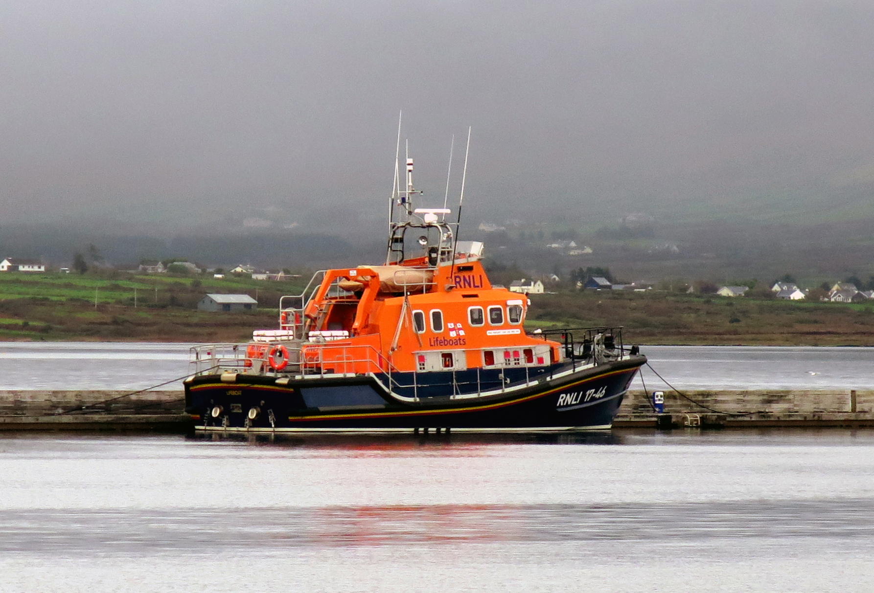
Rescue Boat w/ Reynard Point behind |
|
|
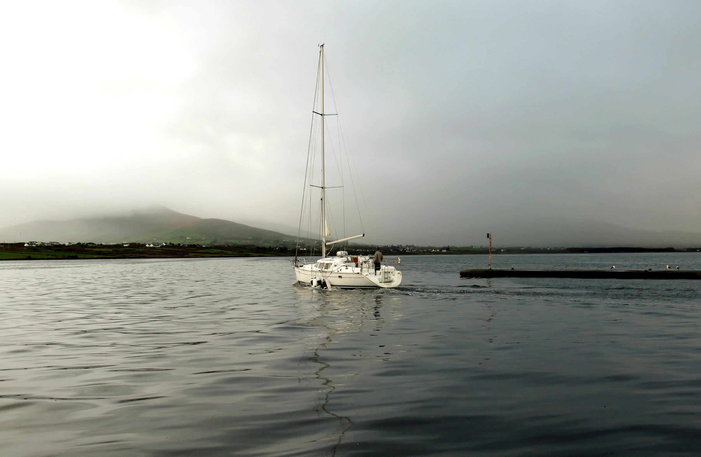
heading out at 9 am |
|
Knightstown from the pier |
|
The Transatlantic Cable Station was a ten-minute walk from the hotel, along the waterfront. This is a 'birthplace' of modern communications technology, during an era of copper wire medium and messaging using Morse code.
In the late 1850s, after 5 repeated attempts, and 5 cable breakages, a complete Transatlantic Cable (2,000 miles long) was finally laid on the ocean floor between Valentia Island, Ireland, and Newfoundland, Canada, connecting NY & Washington to London, for the first time.
Two key persons behind the success of the cable installation were American Cyrus West Field (1808 - 1880) who became wealthy at 34 in NYC & developed an interest in telegraphy, later being a partner in the original American Telegraph Company, and, Sir Peter Fitzgerald, 19th Knight of Kerry (1819 - 1892), who grew up at Glanleam House in Knightstown, and whose prime interest was to improve the economic conditions of the residents of Valentia Island, his tenants. The two partners eventually commissioned the largest steamship in the world at the time, called the Great Eastern, to finish the job, which it did, in 1858.
The first message was between US President James Buchanan & England's Queen Victoria, and although short & sweet, it took 13 hours to transmit via copper wire & morse code ! This indicated a tech glitch, apparently.
Nonetheless, immense public celebrations broke out on both sides of the Atlantic, in London, and in New York City, where fireworks accidentally set the City Hall roof on fire !
 |
Transatlantic Cable Station |
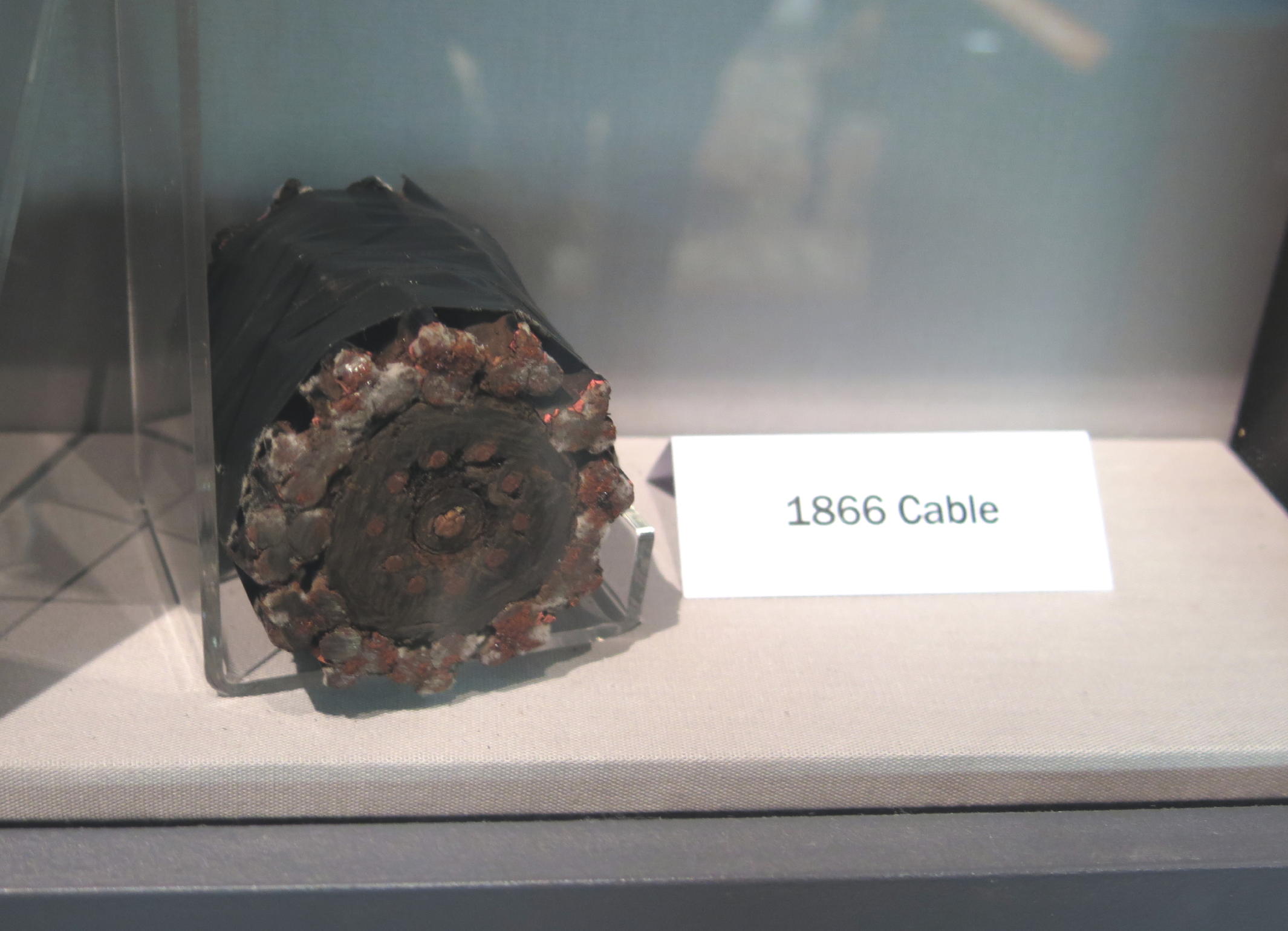 |
continuous copper wire was the key |
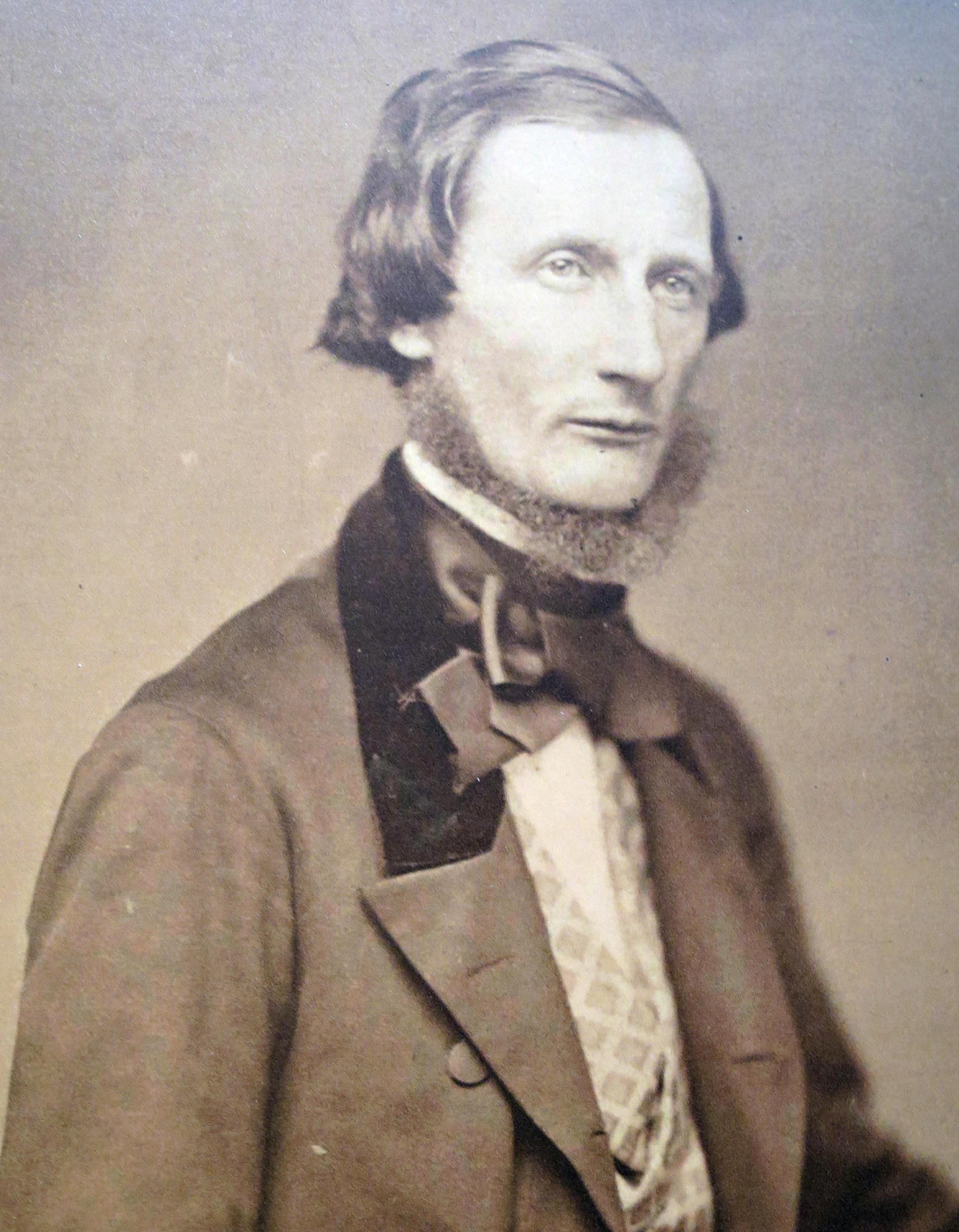 |
Sir Peter Fitzgerald, 19th Knight of Kerry. | |
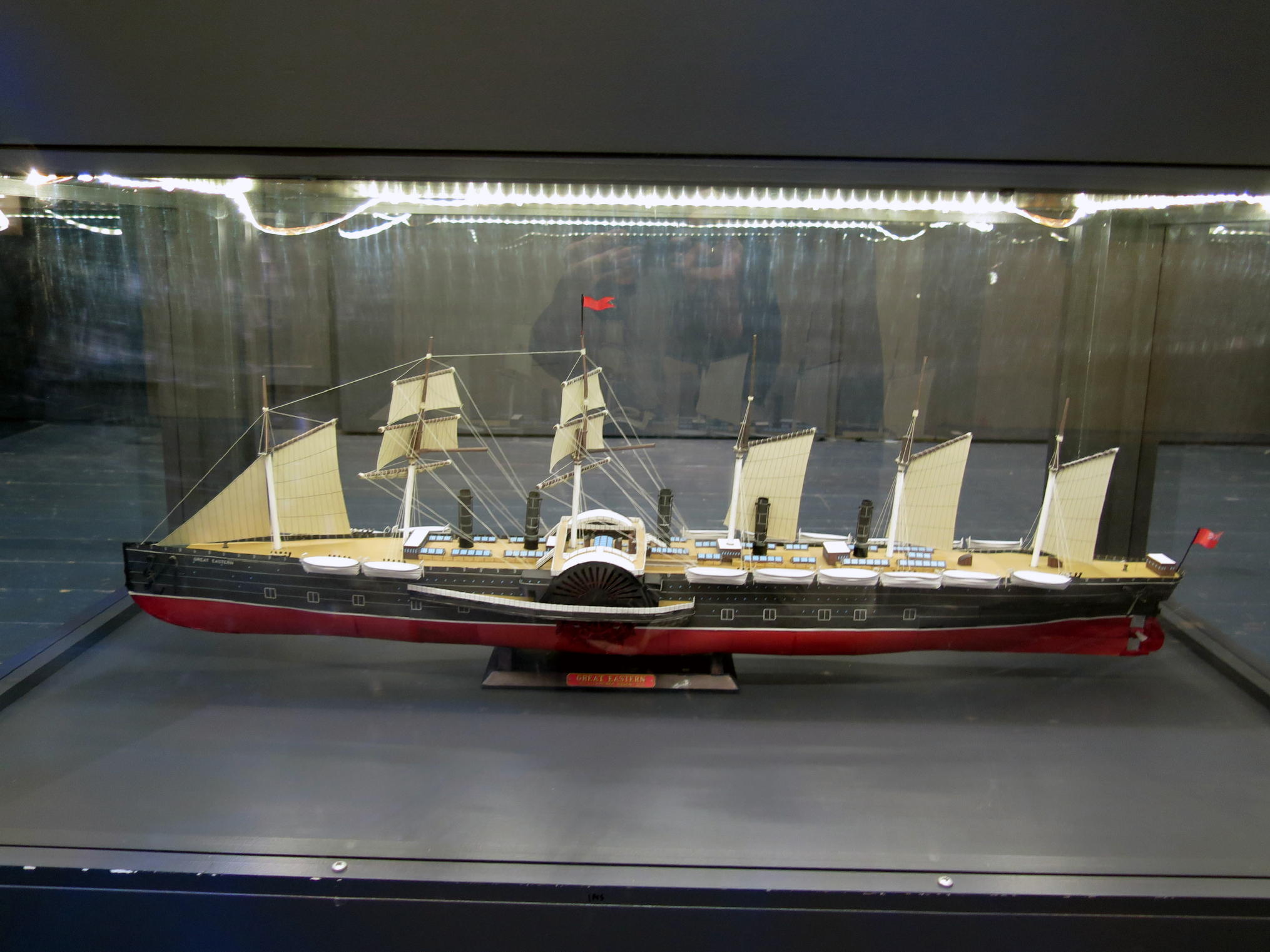 |
model of the Great Eastern |
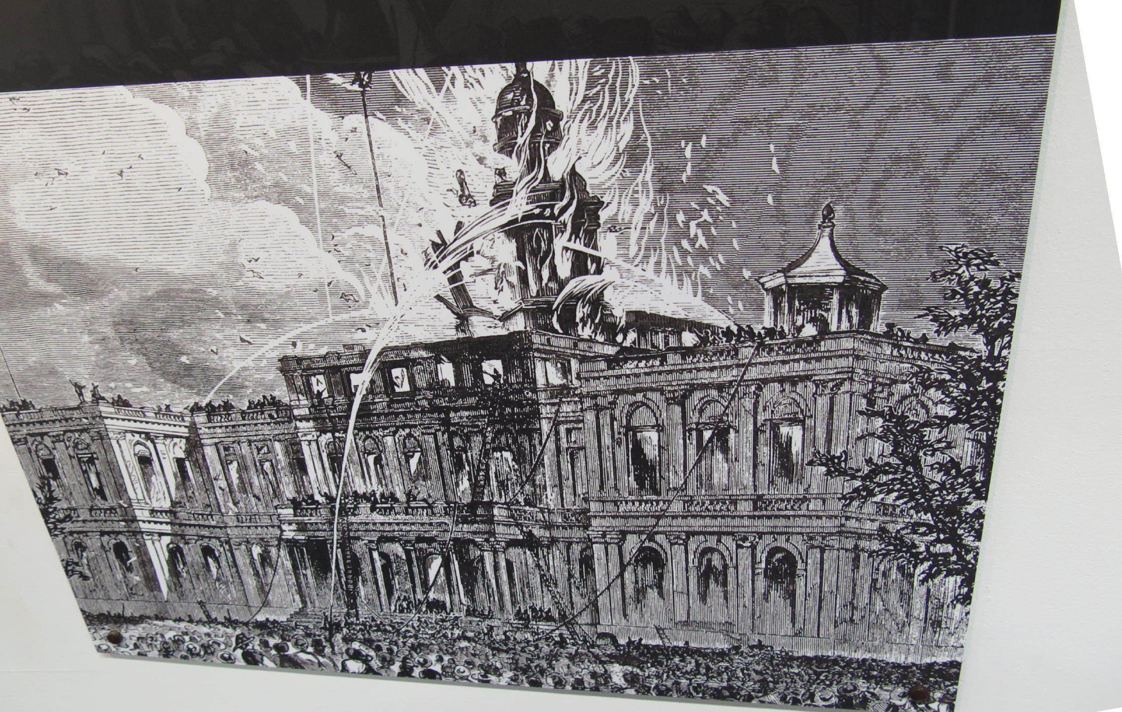 |
NY City Hall on fire in 1858 |
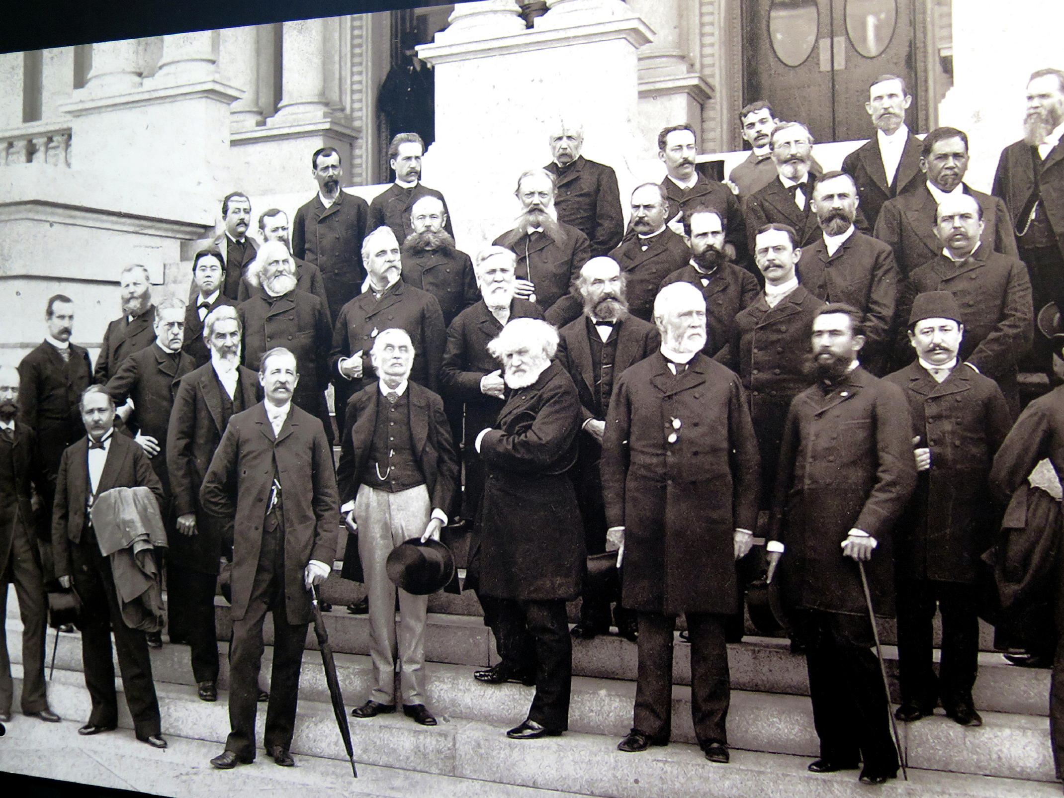 |
see note |
note - this photo shows 41 delegates from 26 nations attending the International Meridian Conference in Washington, D.C., in 1884, which info was on a display card. I liked photo but found no connection to the Transatlantic cable story.
In 1858-60, more than 200 technicians & admin staff came from Britain to live and work at the Knightstown tech support group for the international cable system. Over time brilliant techies (probably early electrical engineers) made continual improvements to the link, until Operations ceased in 1960s.
The Docent said the Brits techies at first tried to not mingle with the Irish, and had their own schools, but eventually they came to know and rely on locals for skilled labor, food, and supplies. The 19th Knight's idea of improving local economics (via the presence of the Cable company) did come to pass.
A display stated that in 1858 the fastest transmission was one word every 19 minutes; within two years it improved to 13 words per minute (wpm). By the 1890s it was 50 wpm, still incredibly slow, using copper, and now it is 84 BN wpm, using fiber optic undersea cables.
The docent said that 90% of today's IT communications between the US & Europe continue to travel via underwater f/o cable, rather than satellites, which is apparently more expensive.
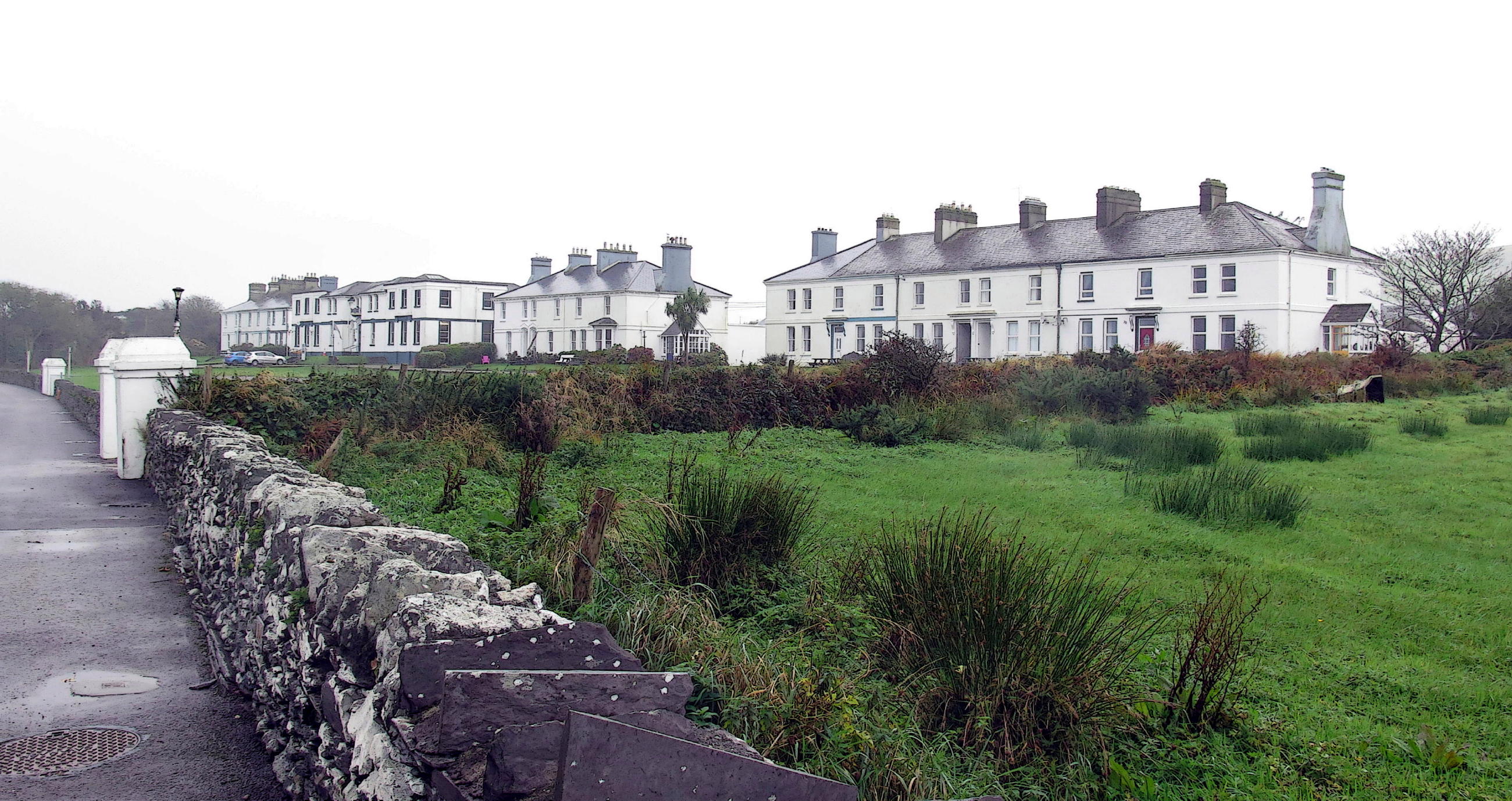
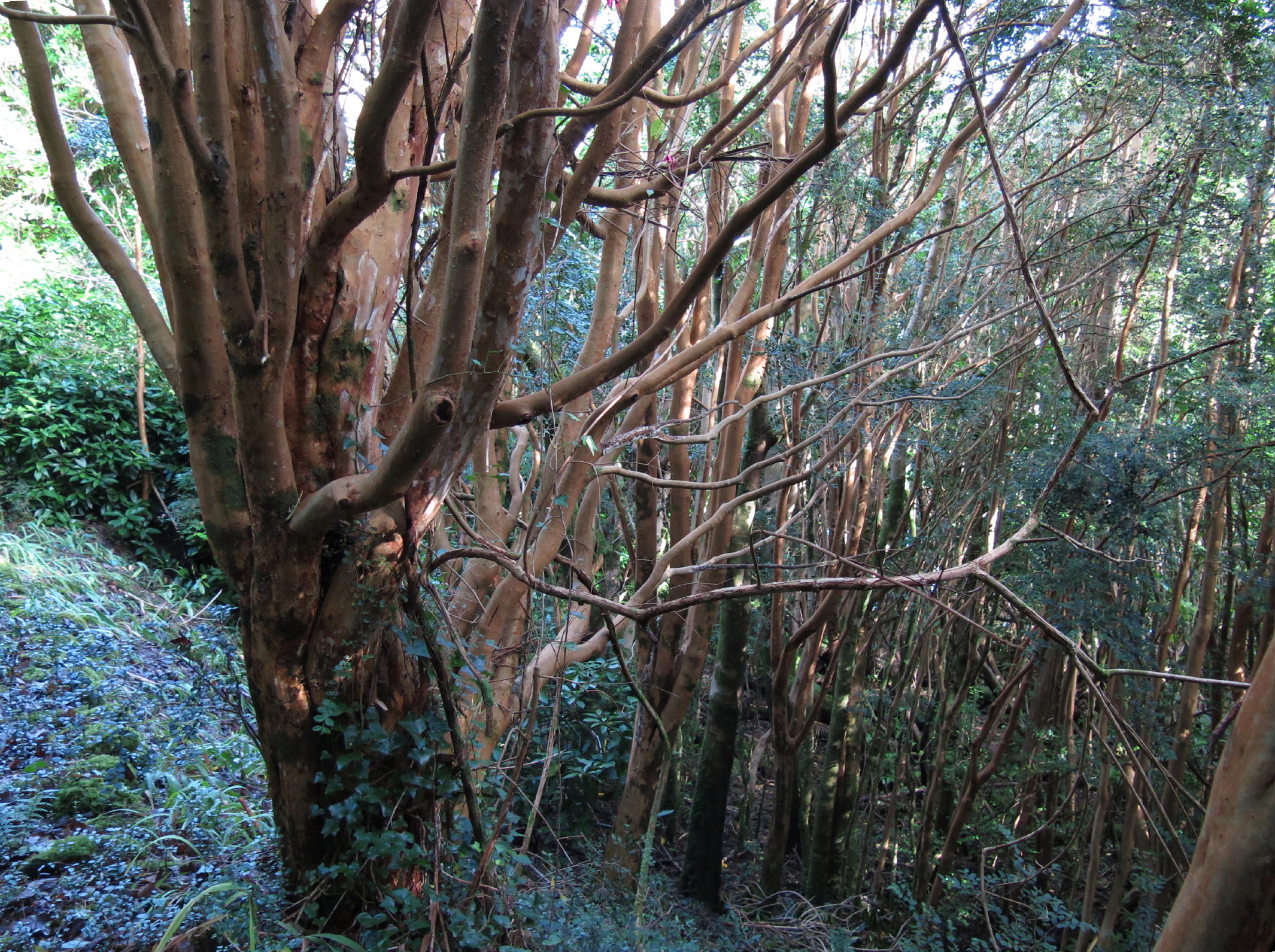
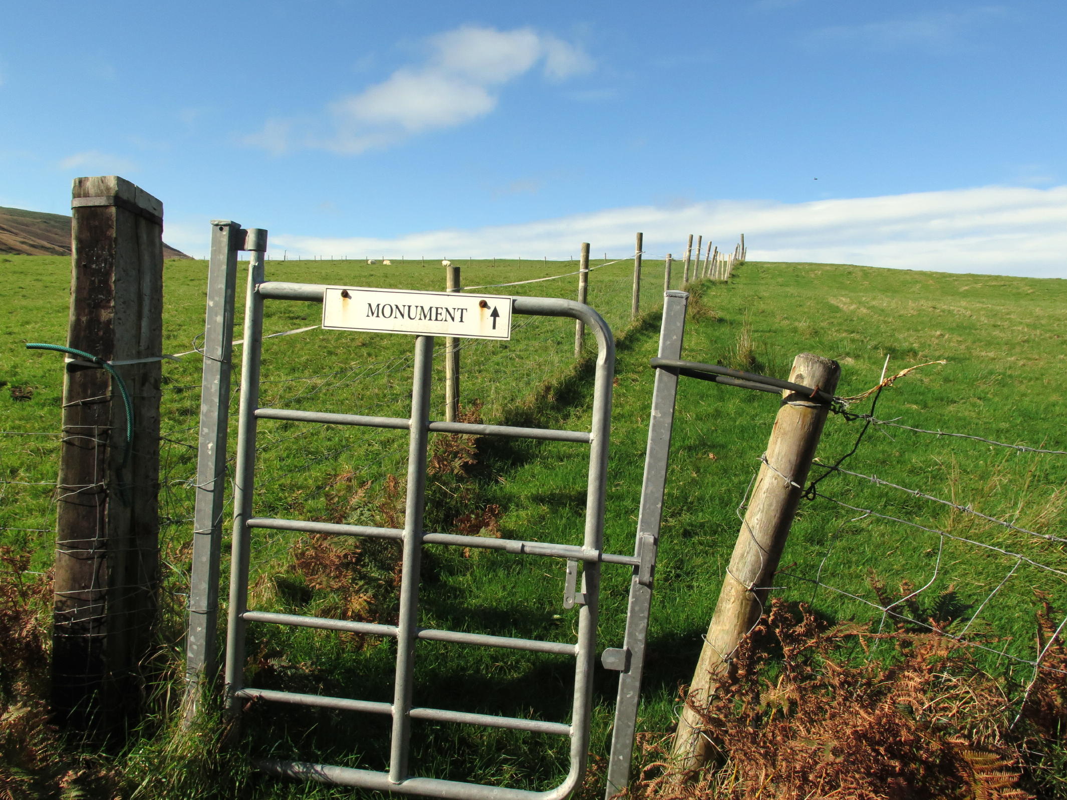
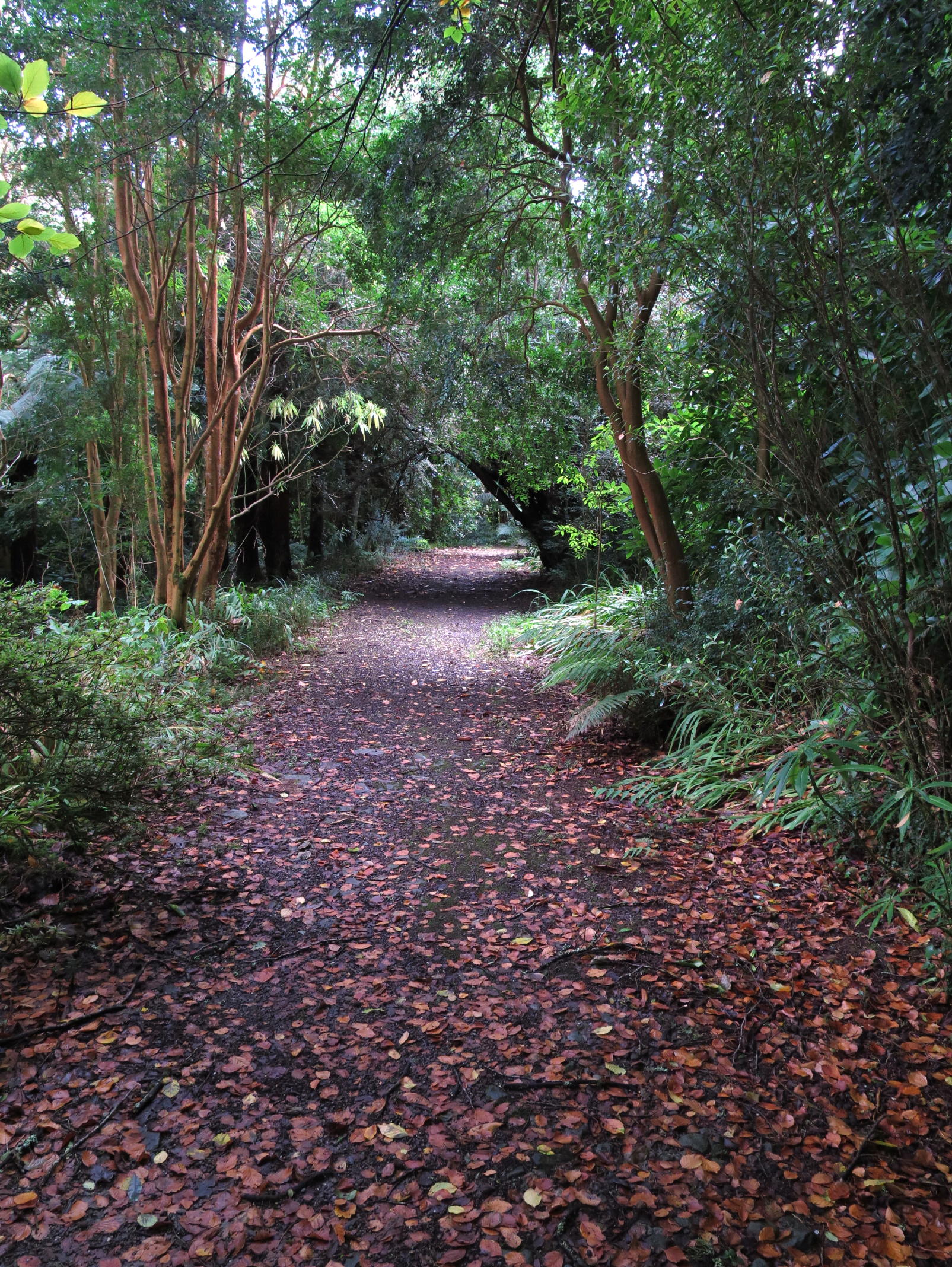
Glanleam House & Garden - I noticed on a Valentia Island map in the hotel lobby that a historic house, not far away, had a public access trail through a tropical hillside garden. Once there, the current owner said the house was built by the 18th Knight of Kerry, and, that the tropical collection was started by his gardener, and was expanded & improved upon for decades by subsequent gardeners.
The handout map & plant list showed that once beyond the woods there were open fields, and the 19th Knight of Kerry Monument to be found, so I headed that way.
Once past the stile it was all open field walking. It had become clear and sunny and the hillside climb to the Monument was surprisingly long and steep, so I rolled up pant legs like shorts, and peeled off a layer, to cool off.
Later I undid that, at the Monument, a local high point, where wind from the Wild Atlantic was cooler.
This turned out to be the most scenic day of the trip.
 |
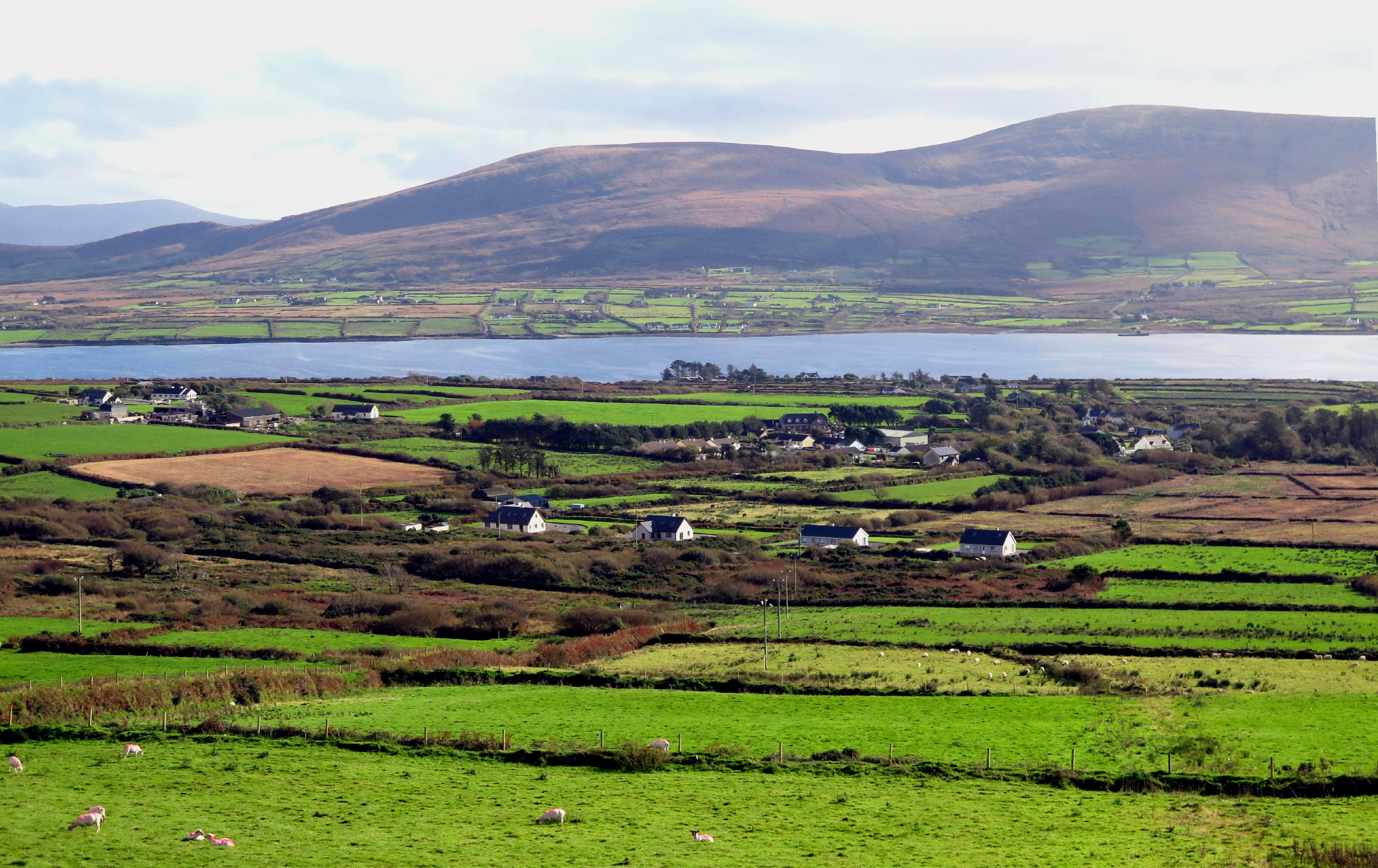
view from Glanleam House, see note 1 |
 |
Reenard Point & Killelan Mtn. to the north |
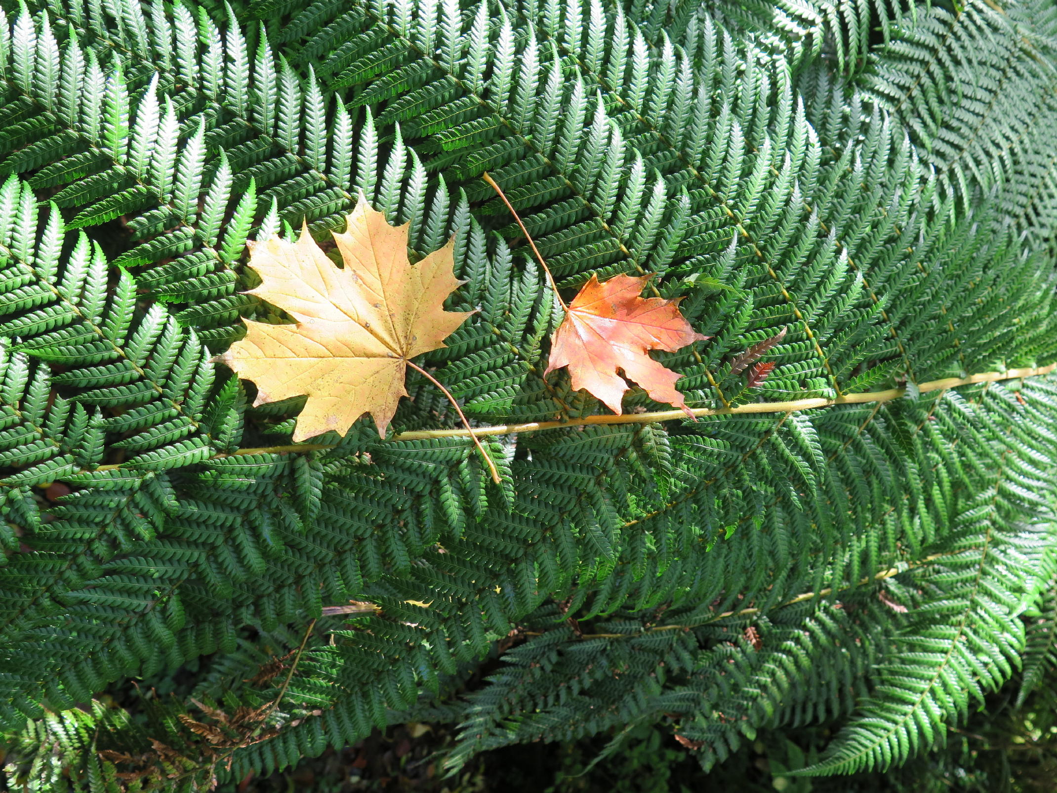 |
maple leaves in fall |
 |
 |
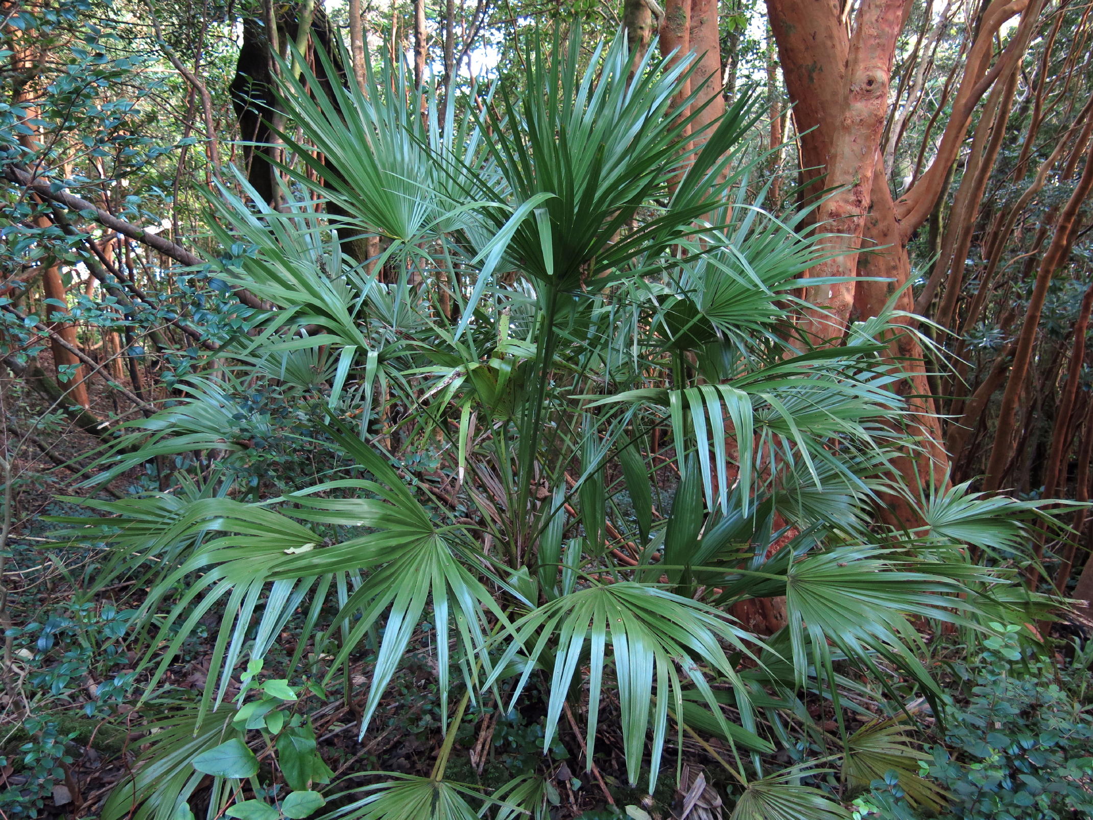 |
Mediterranean fan palm |
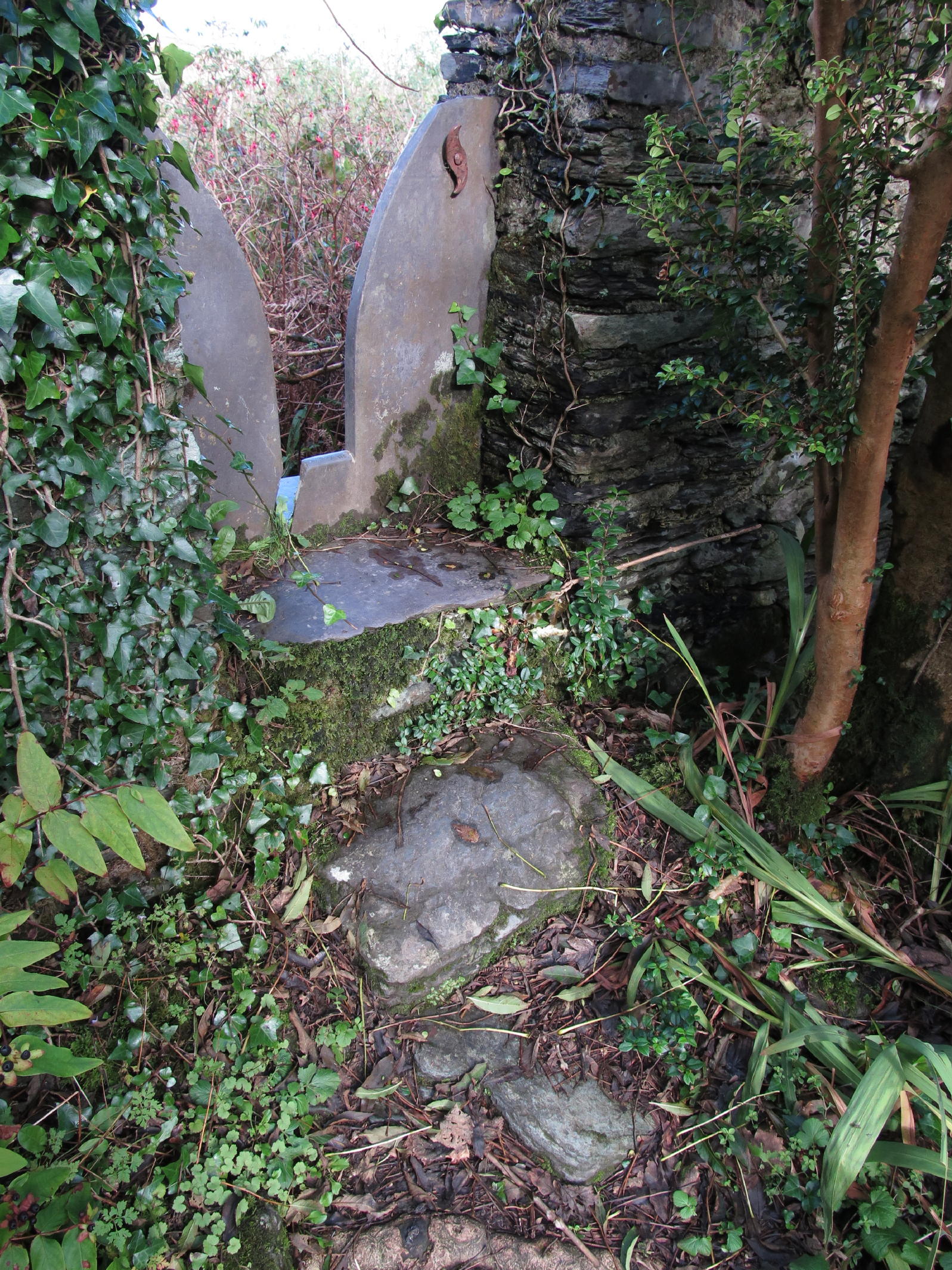 |
(stile) passage from woods to open fields | ||
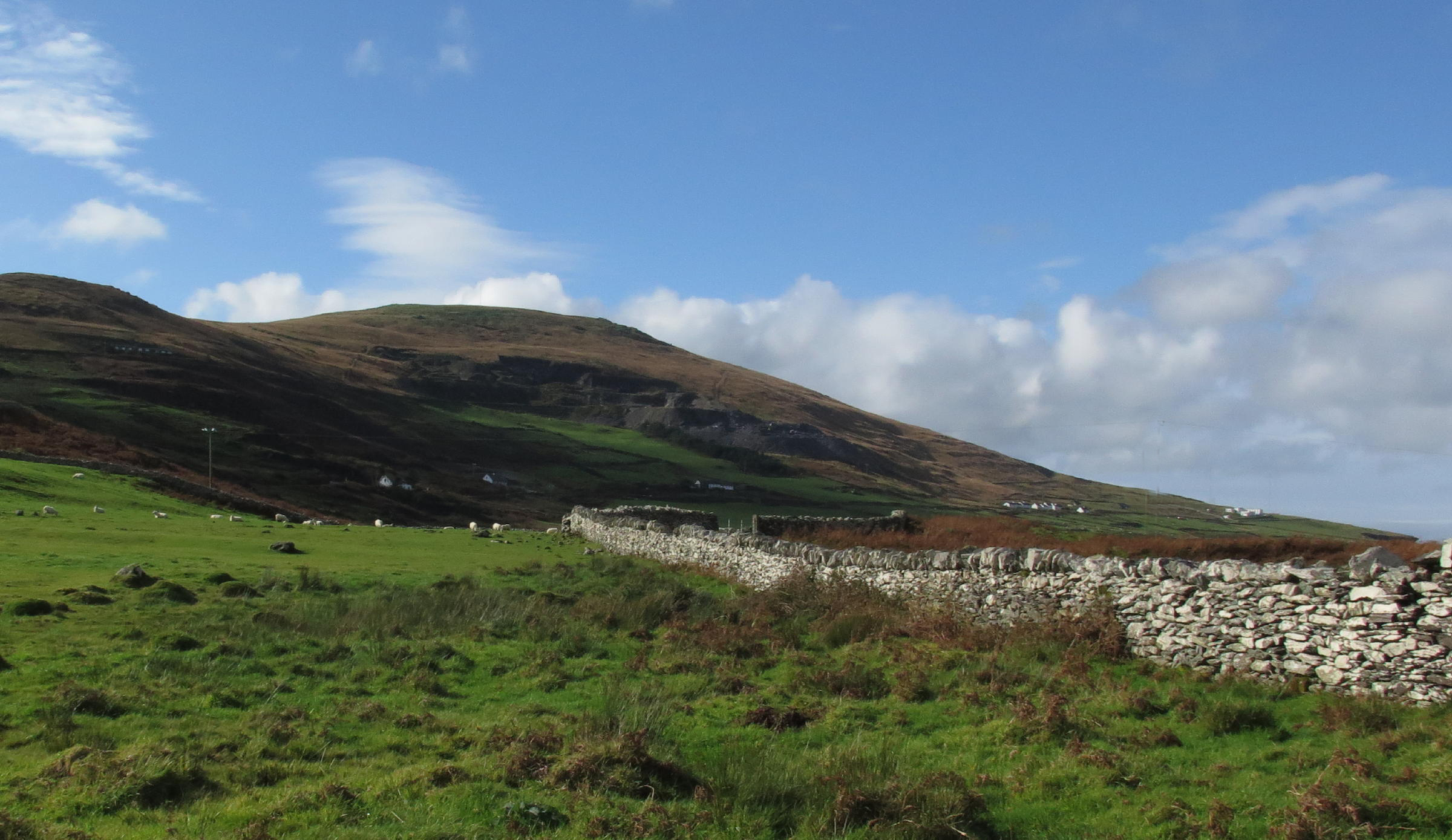 |
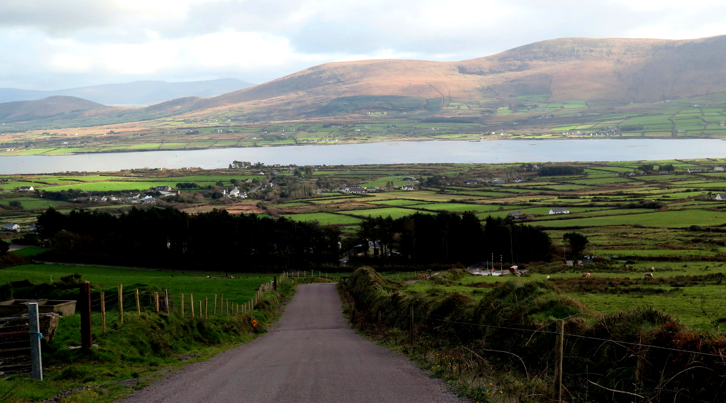
lay of the land |
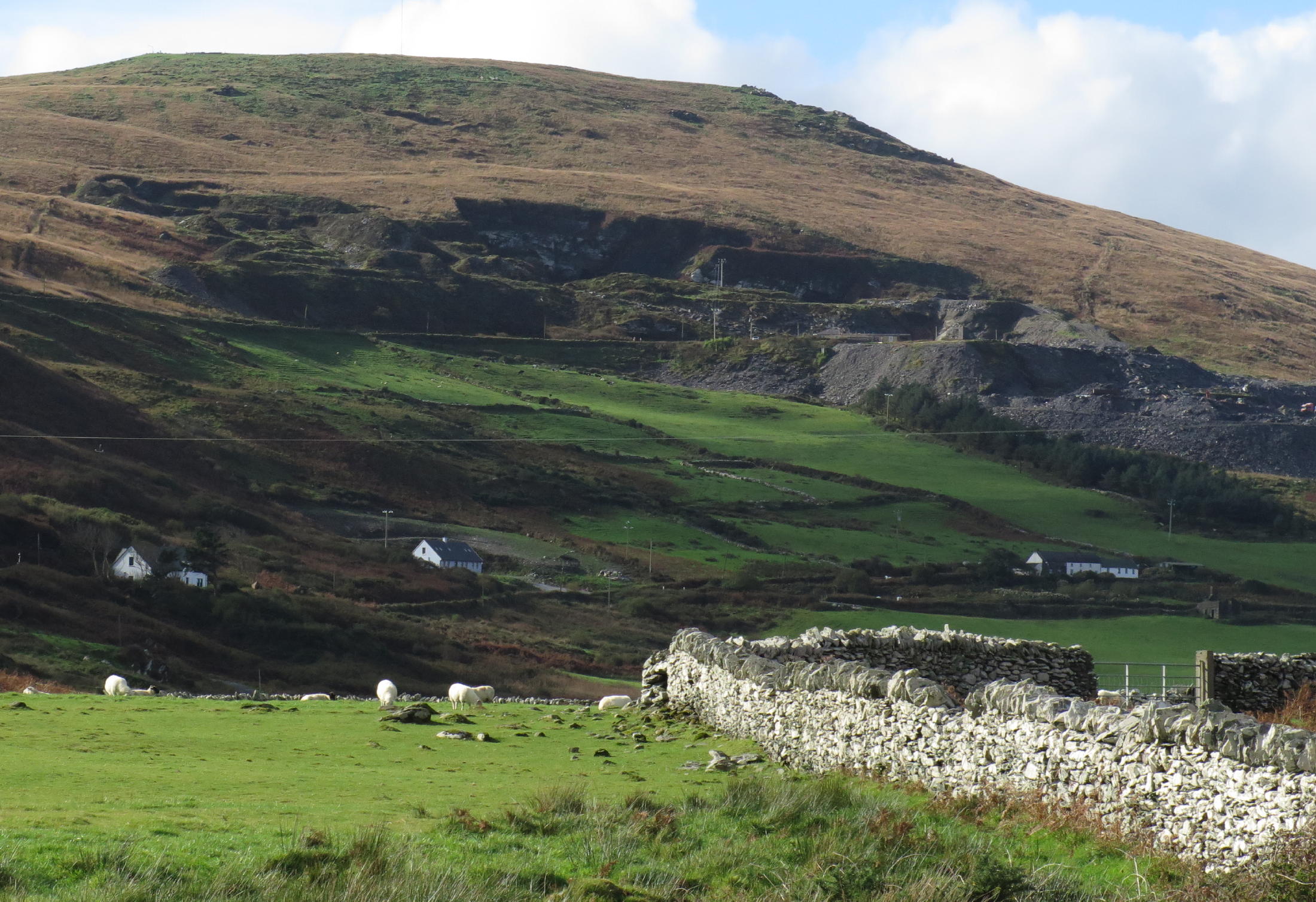 |
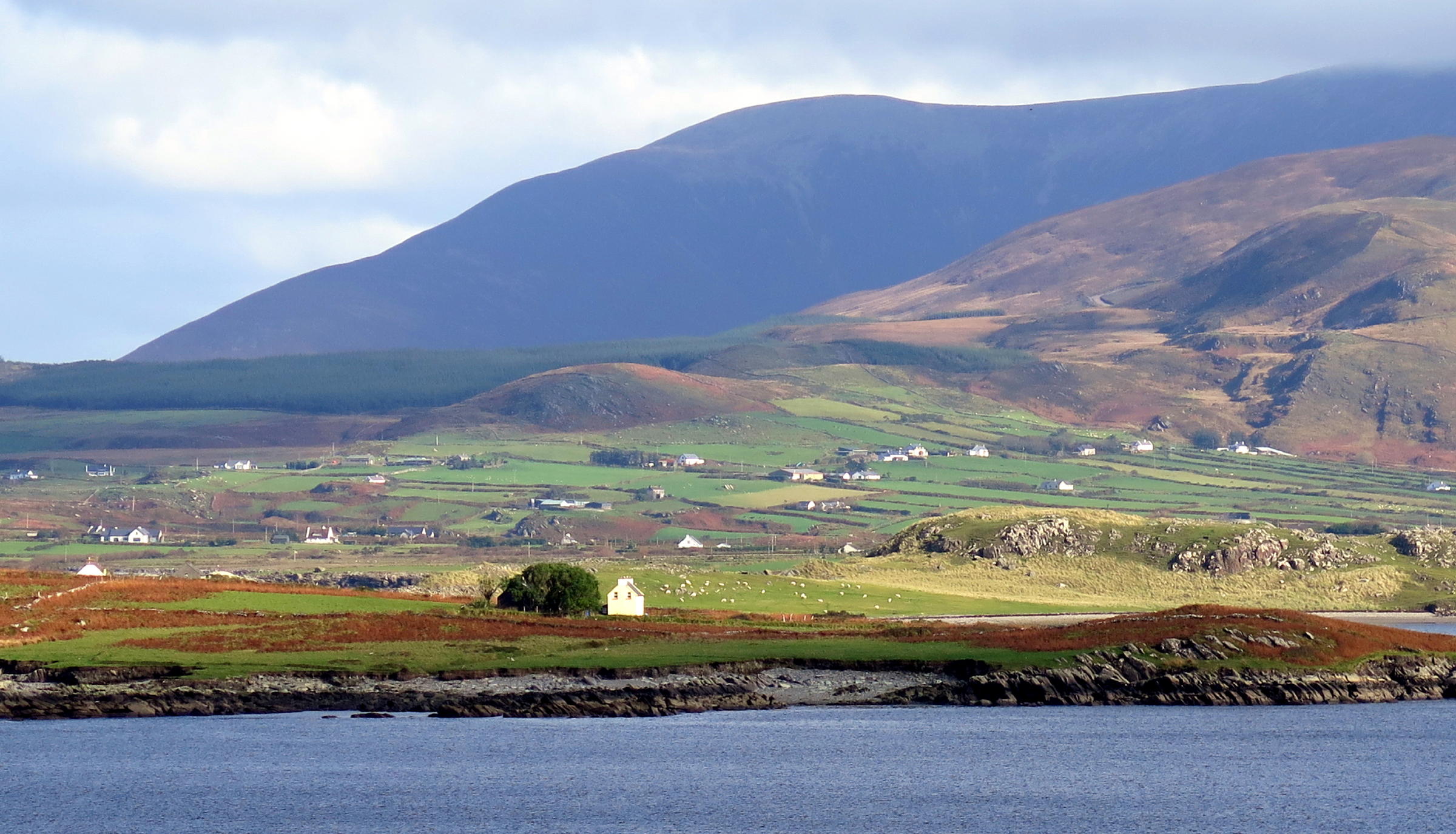
Valentia Slate Quarry in the background (see note 3) |
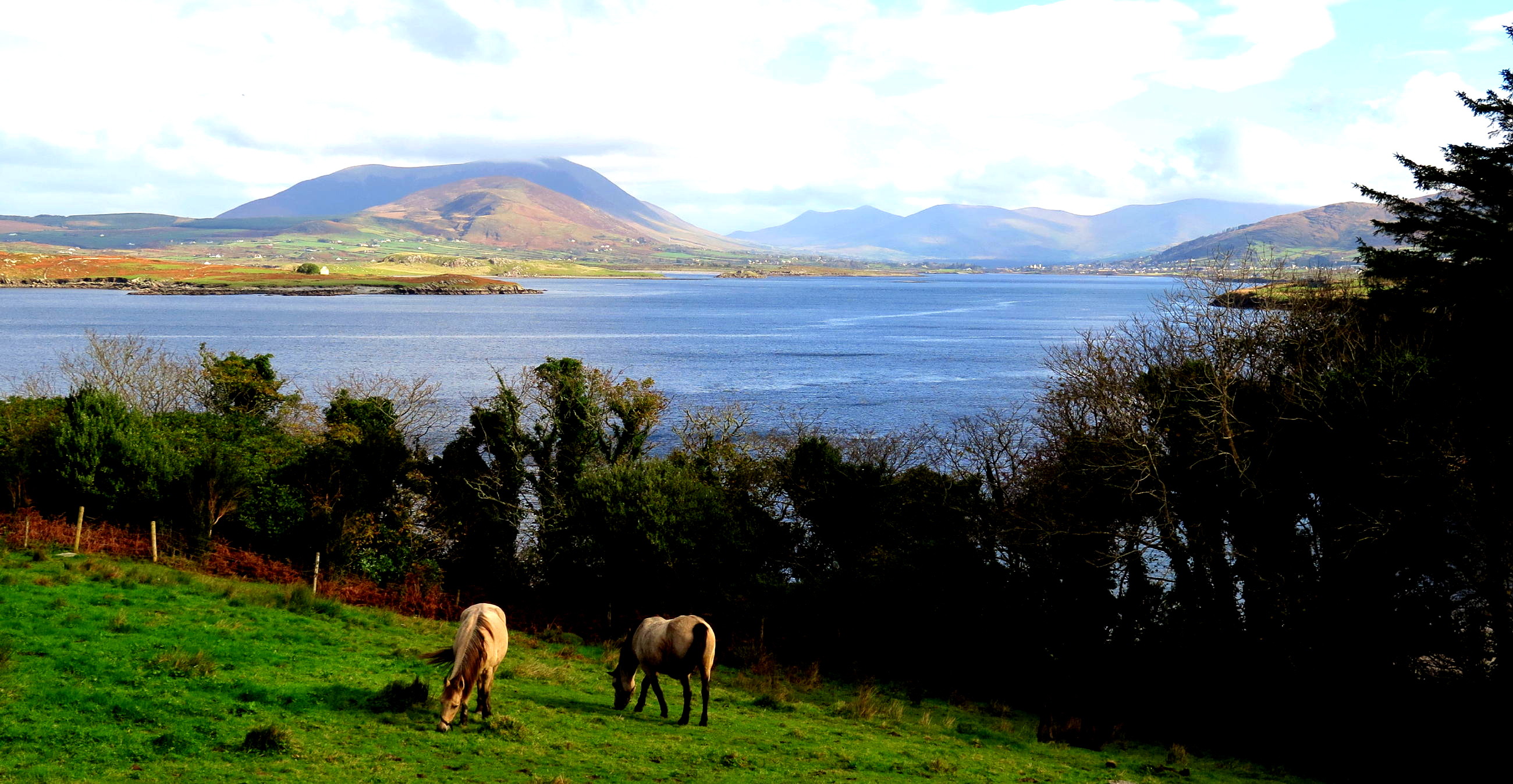
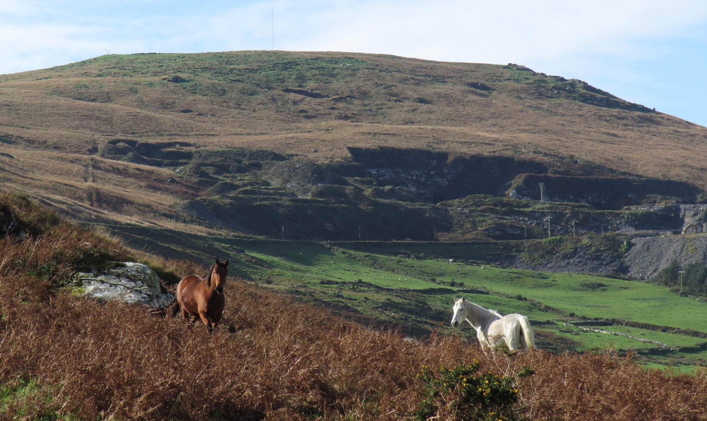 |
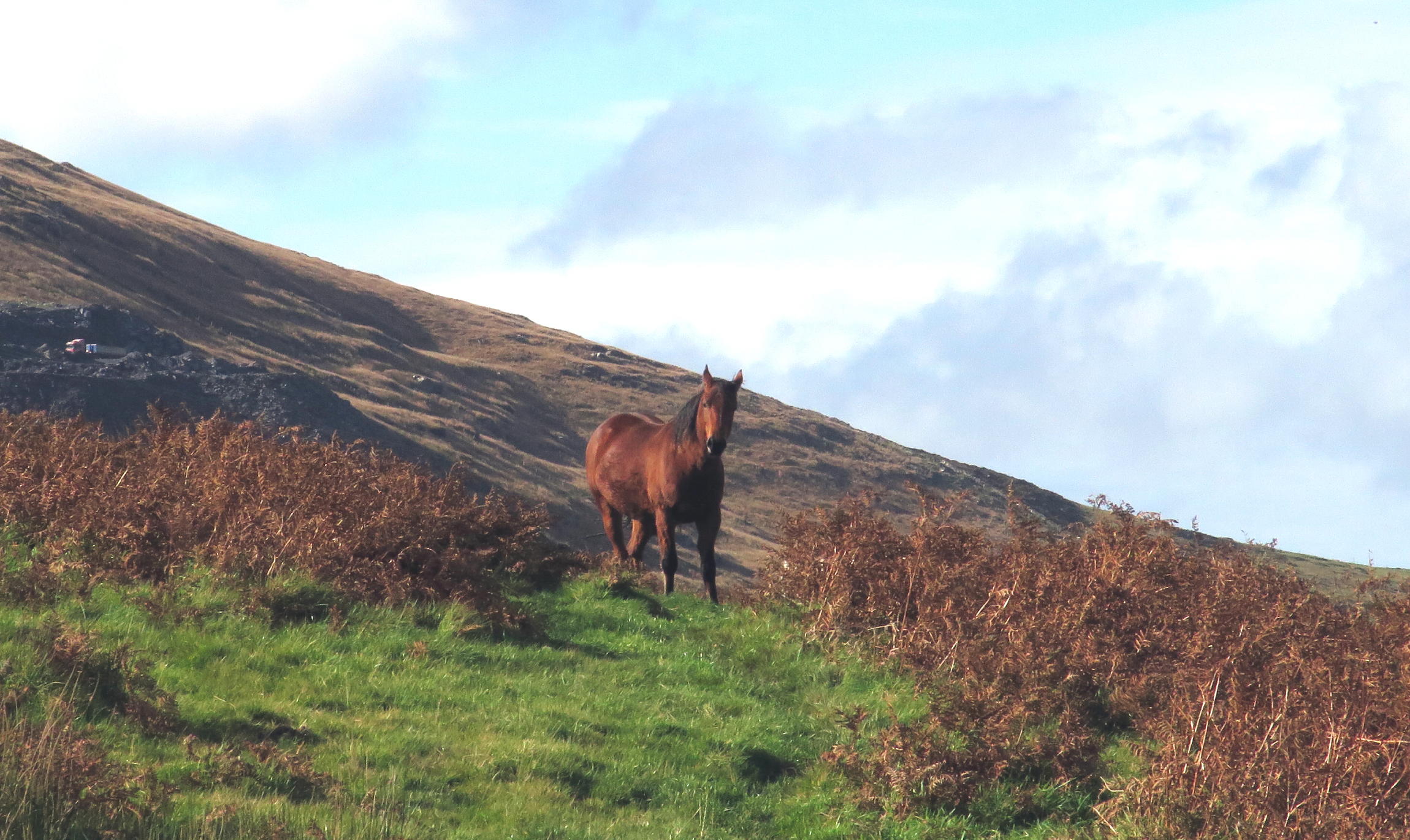
horses |
 |
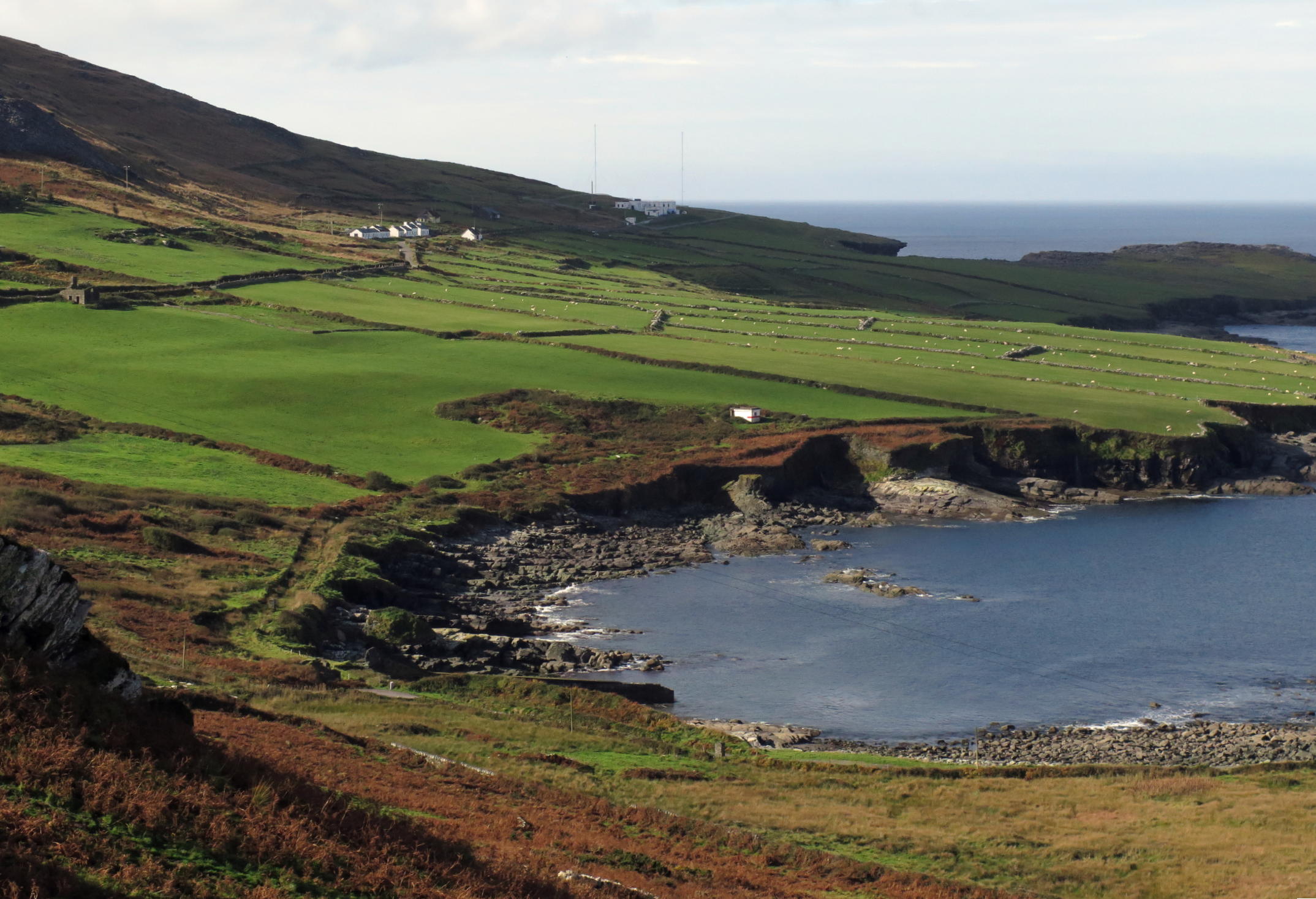 |
the Wild Atlantic in the distance |
 |
start of uphill walk |
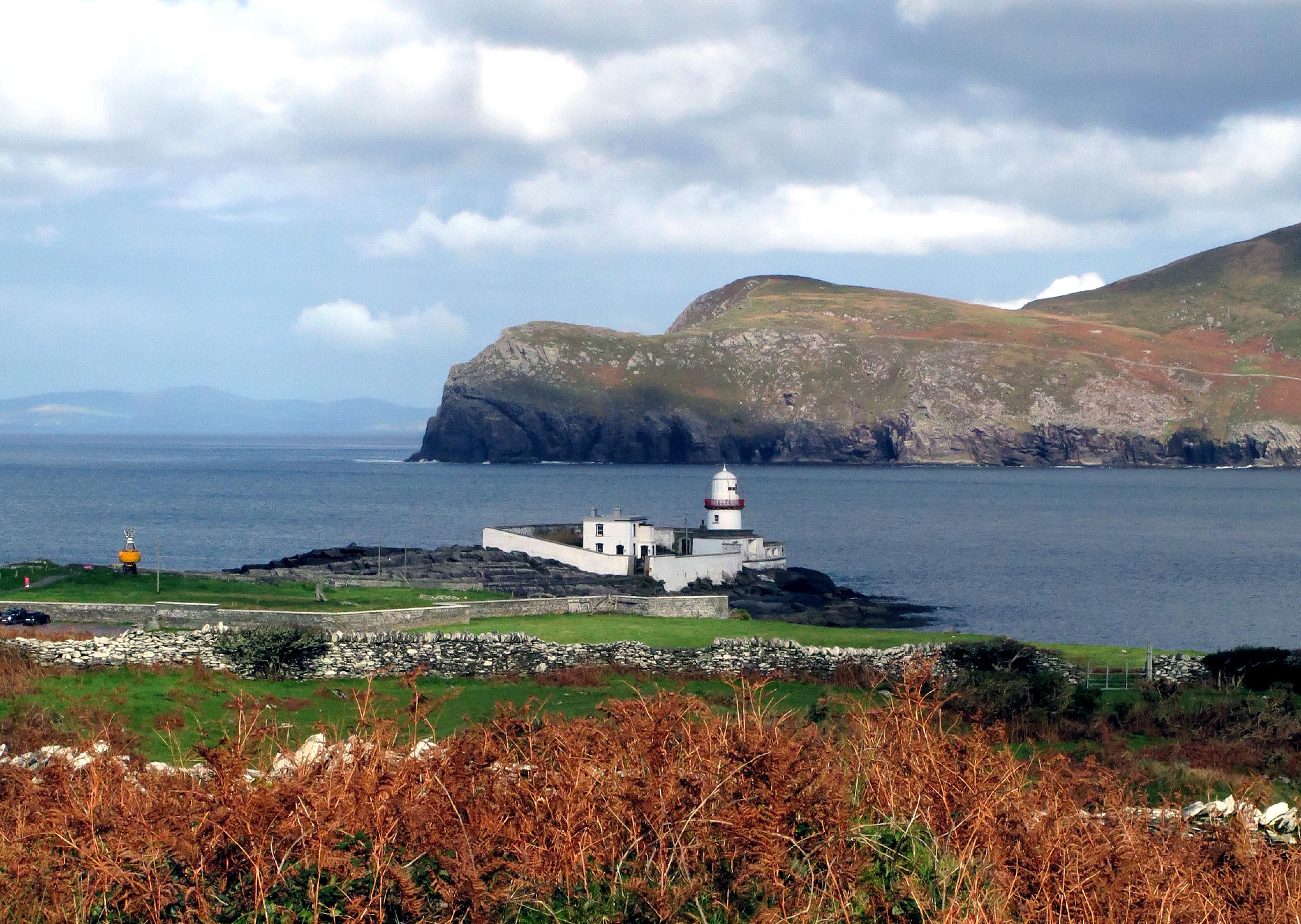 |
Lighthouse, see note 2 | |
 |
Knights Town is on the right |
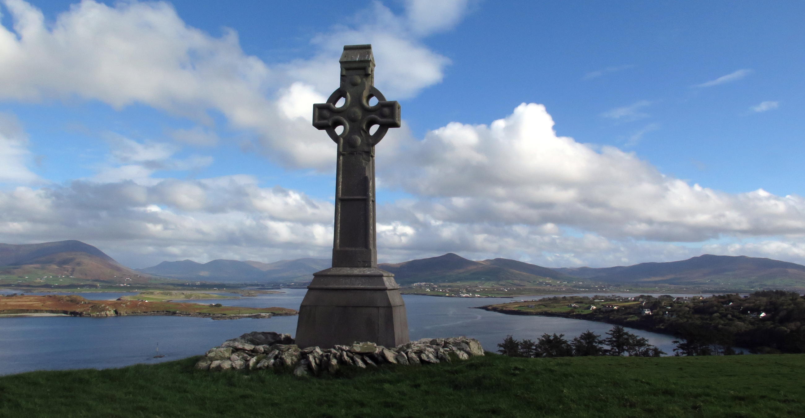 |
Knight of Kerry Monument |
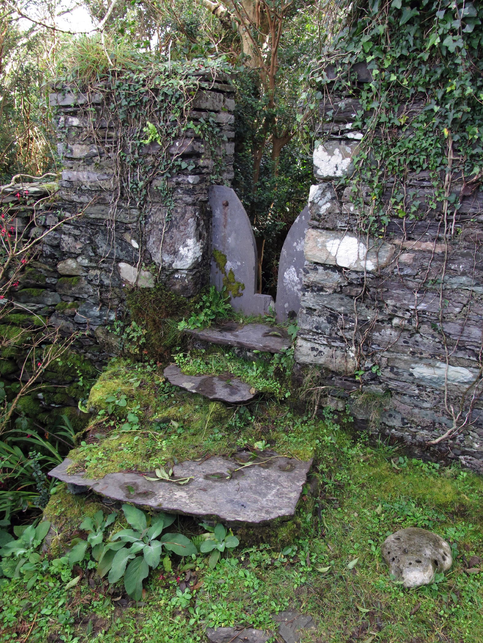 |
stile from fields to woods | |
 |
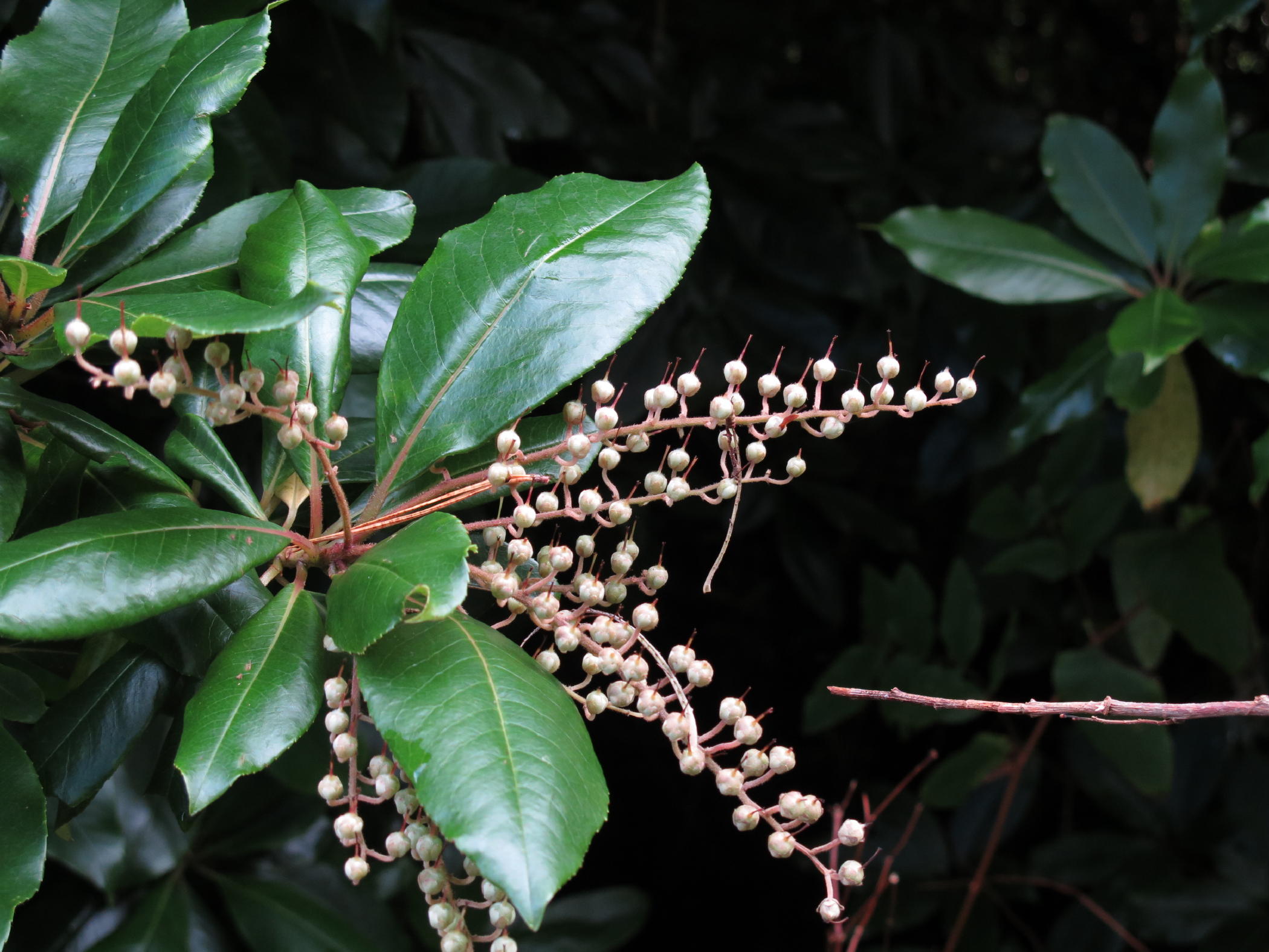 |
Japanese andromeda (a little out of focus) | ||||
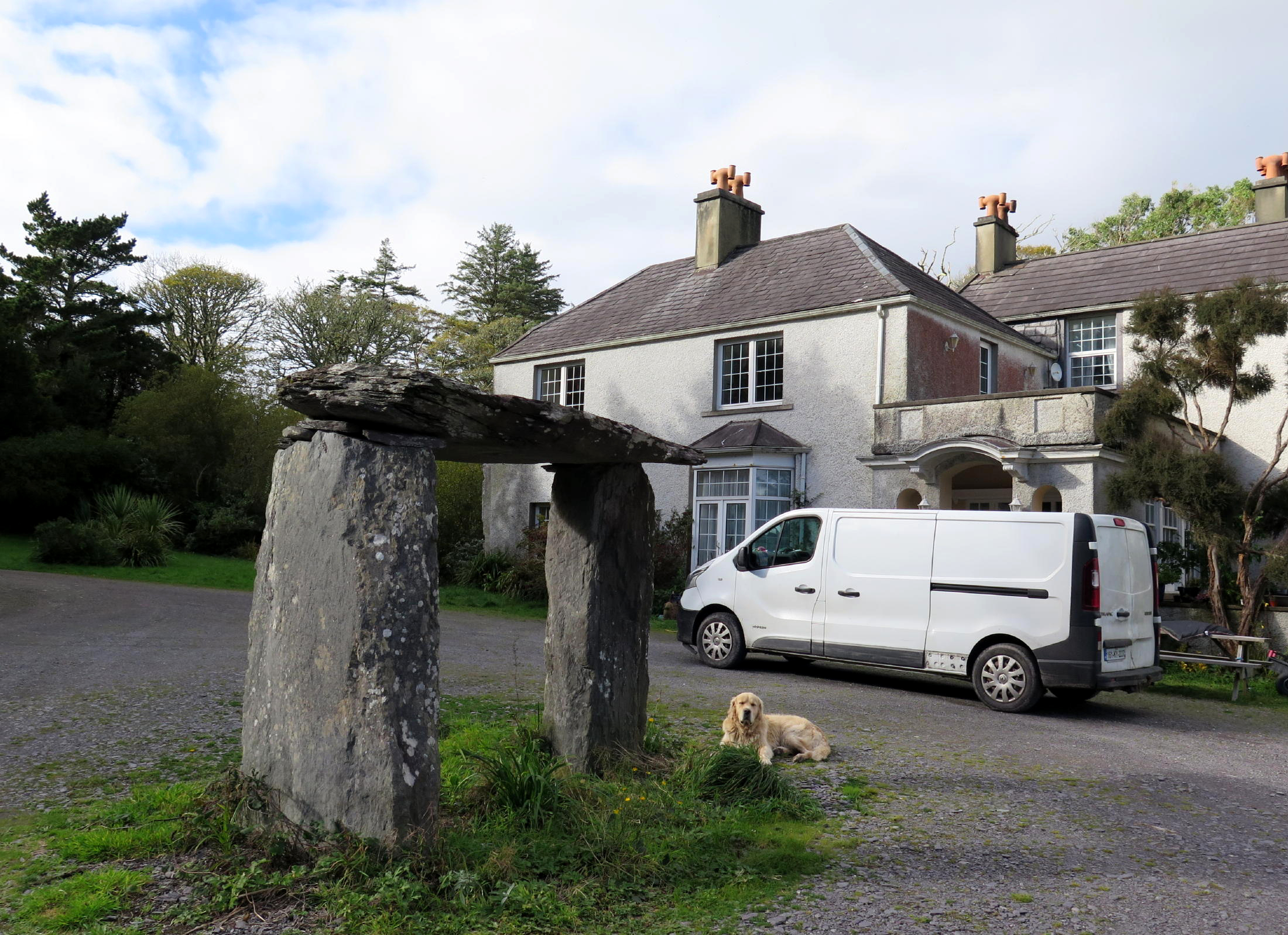 |
back at the Knight's home |
 |
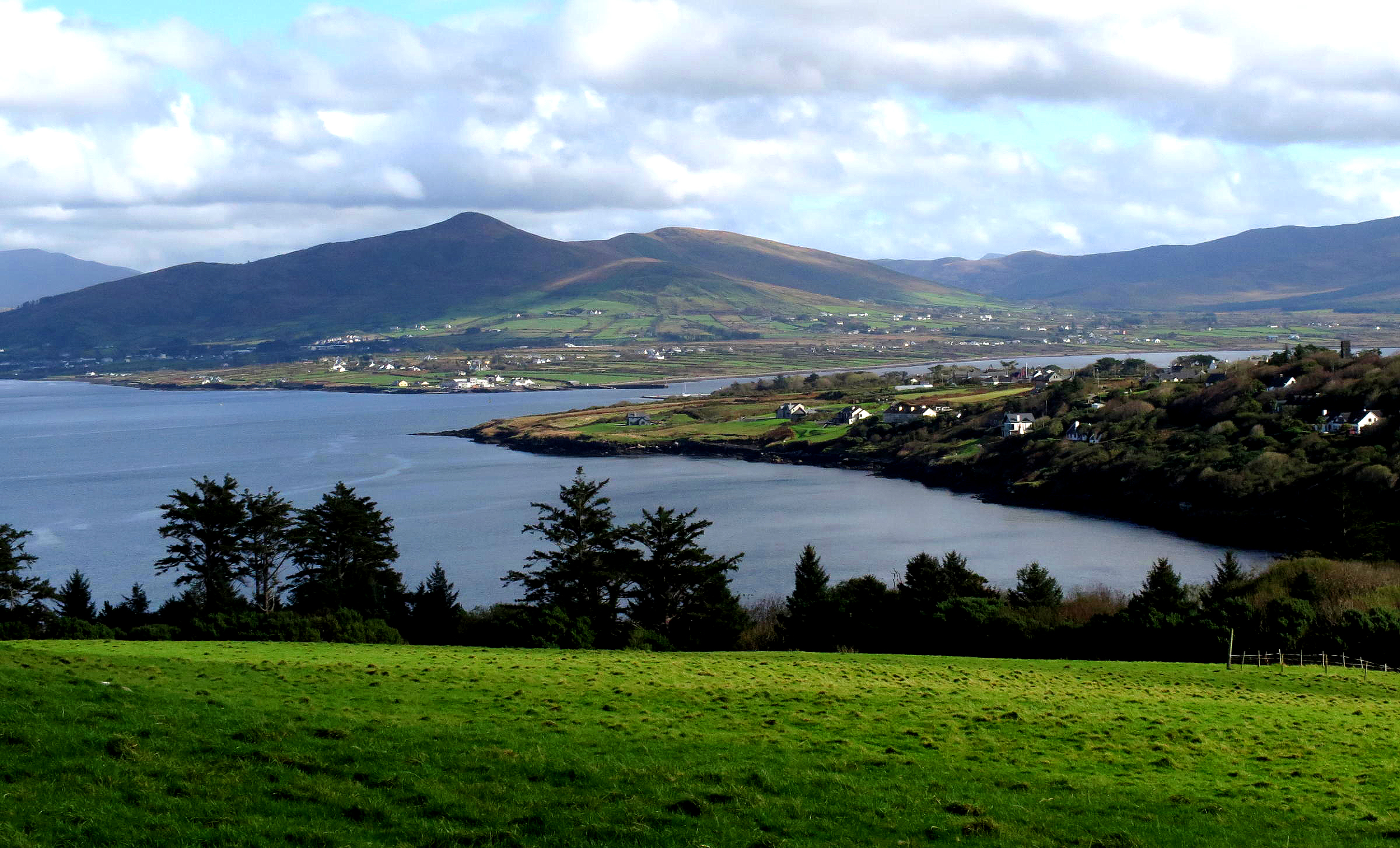
note 1 - This view includes the three highest peaks in Ireland, about 30 miles away to the NE. All three are just above 3,000 ft. in elevation.
note 2 - The Wild Atlantic Way is a stretch of rugged & scenic coast that starts at the Cliffs of Moher in the west, just south of Galway, extending along the SW & SE coast to Cobh, near Cork. This is an area known for outstanding natural beauty, and beautiful drives or walks, so bring a camera & your longest lenses.
note 3 - Slate from this mine is of such high quality that it is found in floors at St. Paul's Cathedral, Westminster Cathedral (Parliament), and the British Museum. The mine re-opened only recently to provide replacement slate to those London buildings.
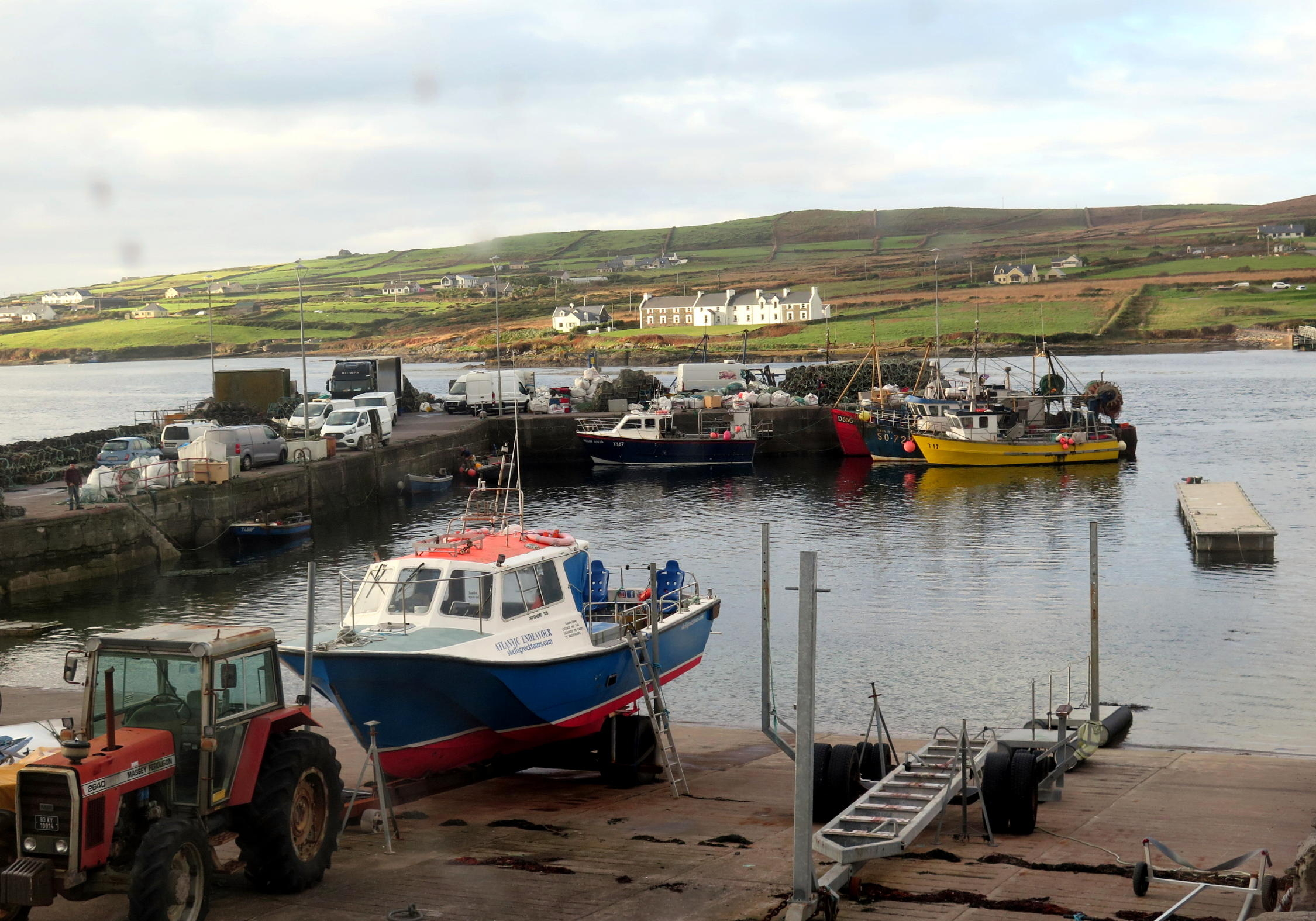
Portmagee - the drive to Portmagee from Knightstown was only 7 km and I got there in late afternoon. A road crew was paving the main street through town, the giant paving machine approaching the hotel, just as I drove up and managed to block their work for a few minutes, feigning ineptness (which wasn't hard), as the hotel proprietor came out & directed me to a tiny parking lot across the street.
She was a tall & impressive Scandinavian woman, who runs the hotel where the crew has breakfast each day when they work and stay in the area, she has clout, she told me, and made them wait until I took my luggage from the car across the street to the Hotel entrance, before they resumed paving.
I could tell the seven-man crew was irritated at first, but an unscheduled break from babysitting the paving monster has to be a positive thing & soon enough the crew were in a forgiving mood, plus a few of them got in a smoke.
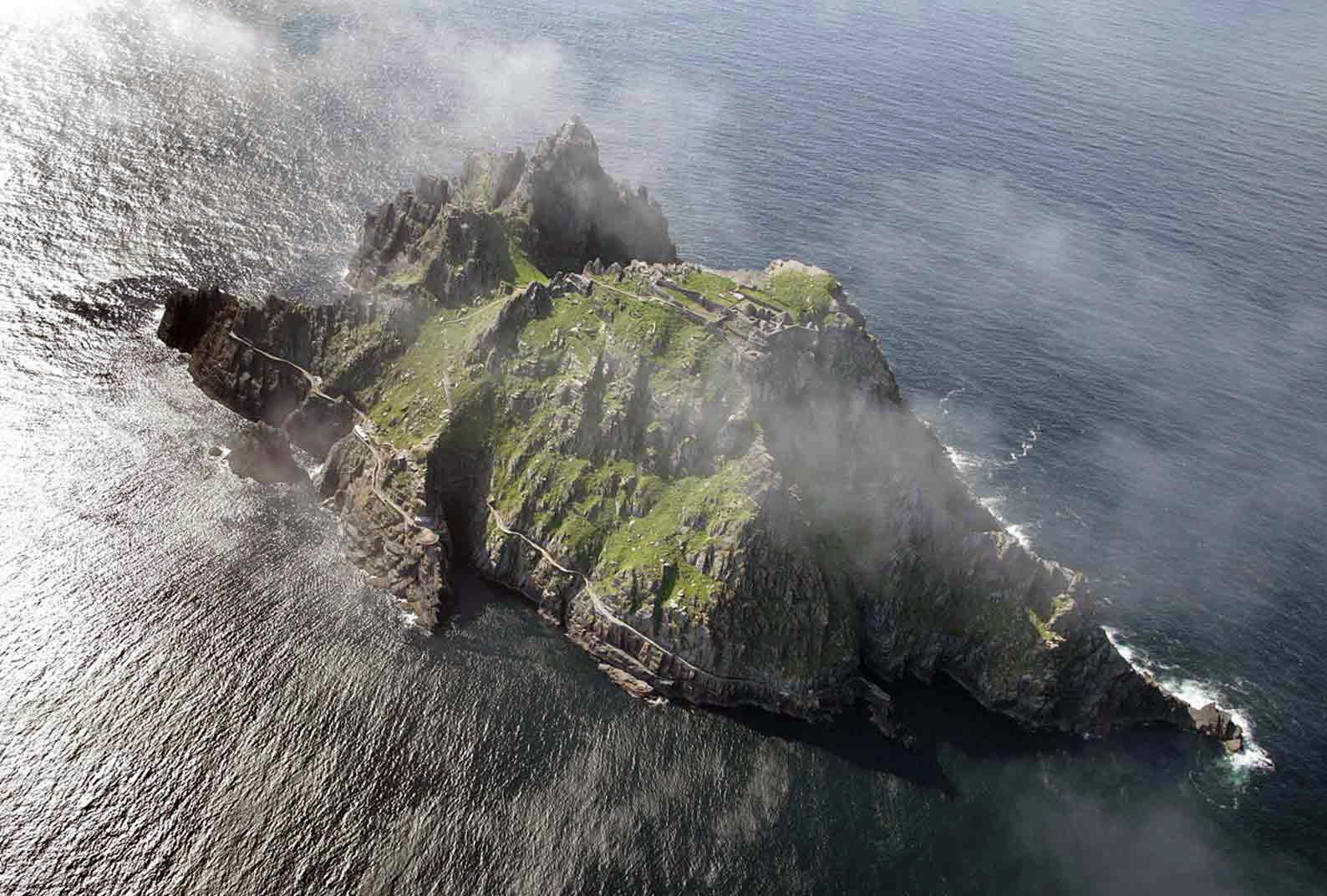
Portmagee is the jumping-off point for seasonal open-ocean boat 7 mile journey to Skellig Michael, an incredible historic site with a challenging climb. The hotel manager said boats stop going there from the end of September until May, due to constant rough weather.
 |
on lovely Valentia Island |
 |
heading downhill to the bridge at Portmagee |
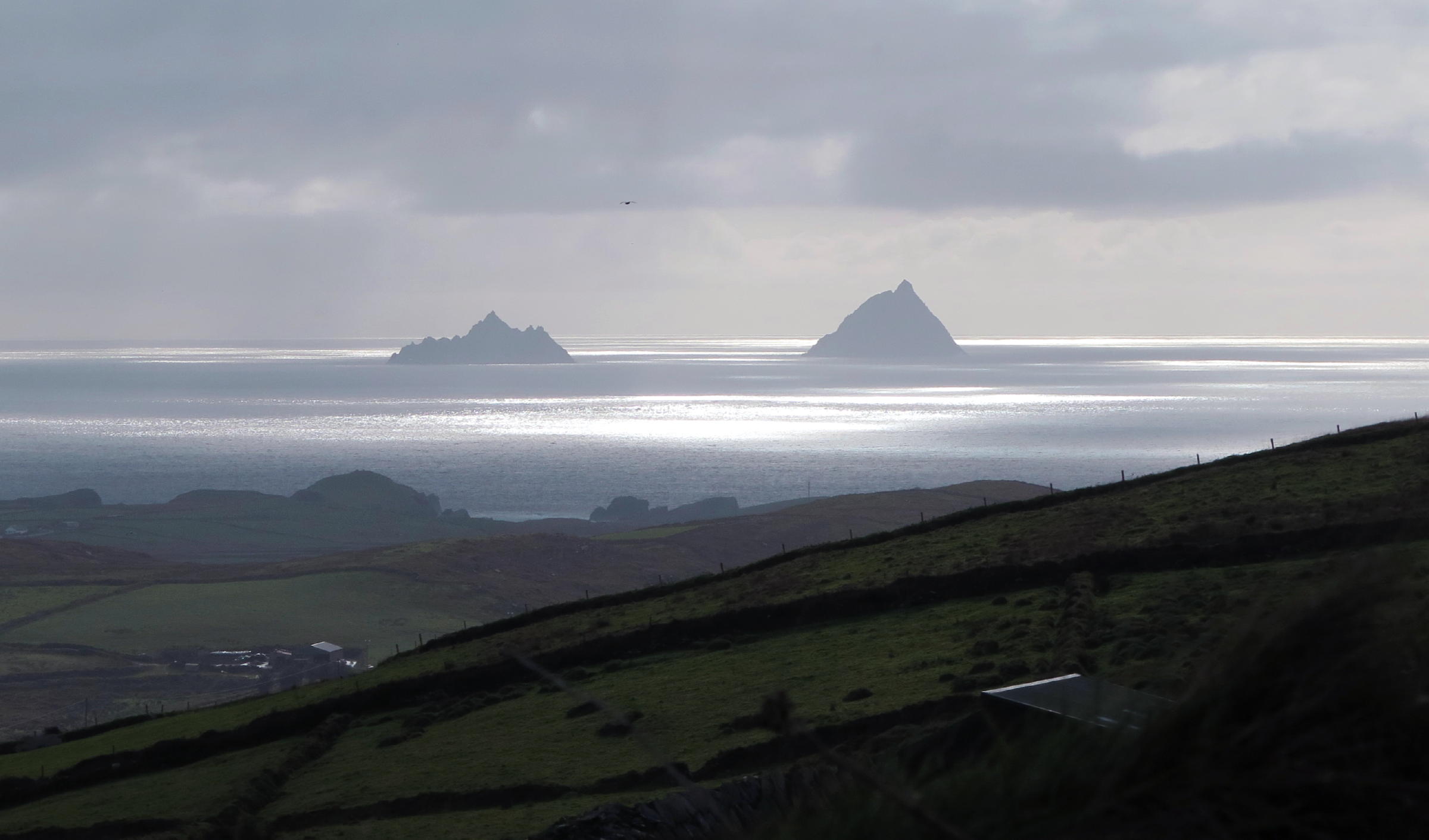 |
Skellig Islands, see Postscript | |
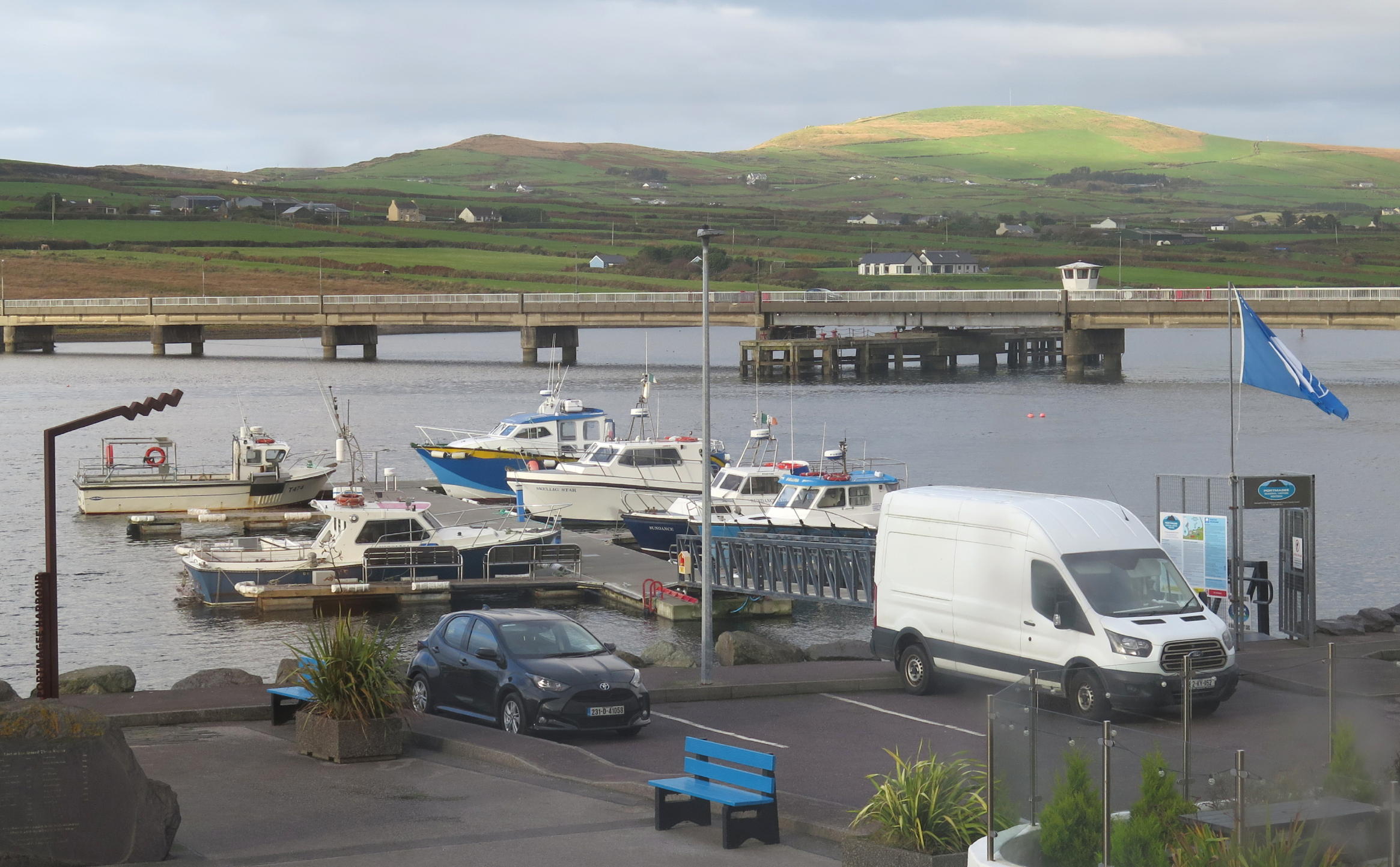 |
rental car & the bridge at Portmagee |
 |
another view from the room |
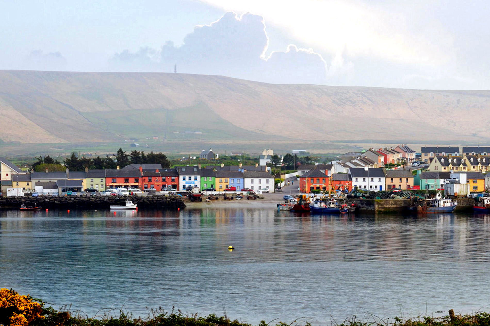 |
Portmagee (web image) |
Moorings Restaurant & Hotel in Portmagee, the old Bridge Bar with Rooms, was recently renovated and has large & comfortable rooms upstairs, on main street, with a view of the water. Downstairs, the pub/restaurant has a vast seafood menu, a magnet for locals & anyone on the Ring of Kerry tour.
The Moorings restaurant has an antiquated interior, a Tudor look w/low ceilings, medieval & cozy, with great food & service.
Irish people are exuberant conversationalists, so as a soloist, you can just sit & listen. A group of 7 men nearby had an animated Gaelic speaker, while the others commented in English.
I enjoyed my first draft Murphy's Stout, a worthy competitor to a draft Guinness.
Being so close to the Atlantic, air quality was incredible, and with the window open & radiator on low, I enjoyed reading the Judge's book while hearing gusting winds outside.
Judge Gillian presided over some of the most sensational Criminal trials in Dublin, when local Catholic School Priests were finally convicted of child and adolescent abuse, going back decades. As Judge Gillian writes, on every single day of the trials, the Courtroom was packed to the gills, with victims. Talk about drama ! (Such trials were mostly in the 1990s.)
She also presided at a time when there was amazing cooperation between police (GARDA), social services, and the courts, to try to keep people out of jail for repeated minor offences like shoplifting. Judge Gillian writes that family dysfunctions like drug and alcohol abuse were often underlying causes, and effective social services were more effective than jail time.
Go to next page - Portmagee to Kenmare to Killarney
return to Ireland 23 index
return to mdimage index
Postscript - The two Skellig Islands are a Unesco World Heritage Site, and "the site of Ireland's most remote and spectacular ancient monastery. Early Christian monks established a community and survived here from the 6th to the 13th century", outlasting murderous Viking raids in the early 800s. (ref. below) Wikipedia)
The taller island, Skellig Michael, is 650 ft. high, and to reach the monastic ruins, such as stone beehive huts and Oratories, visitors have to climb steps, gaining 450 ft.
 |
Skellig Michael |
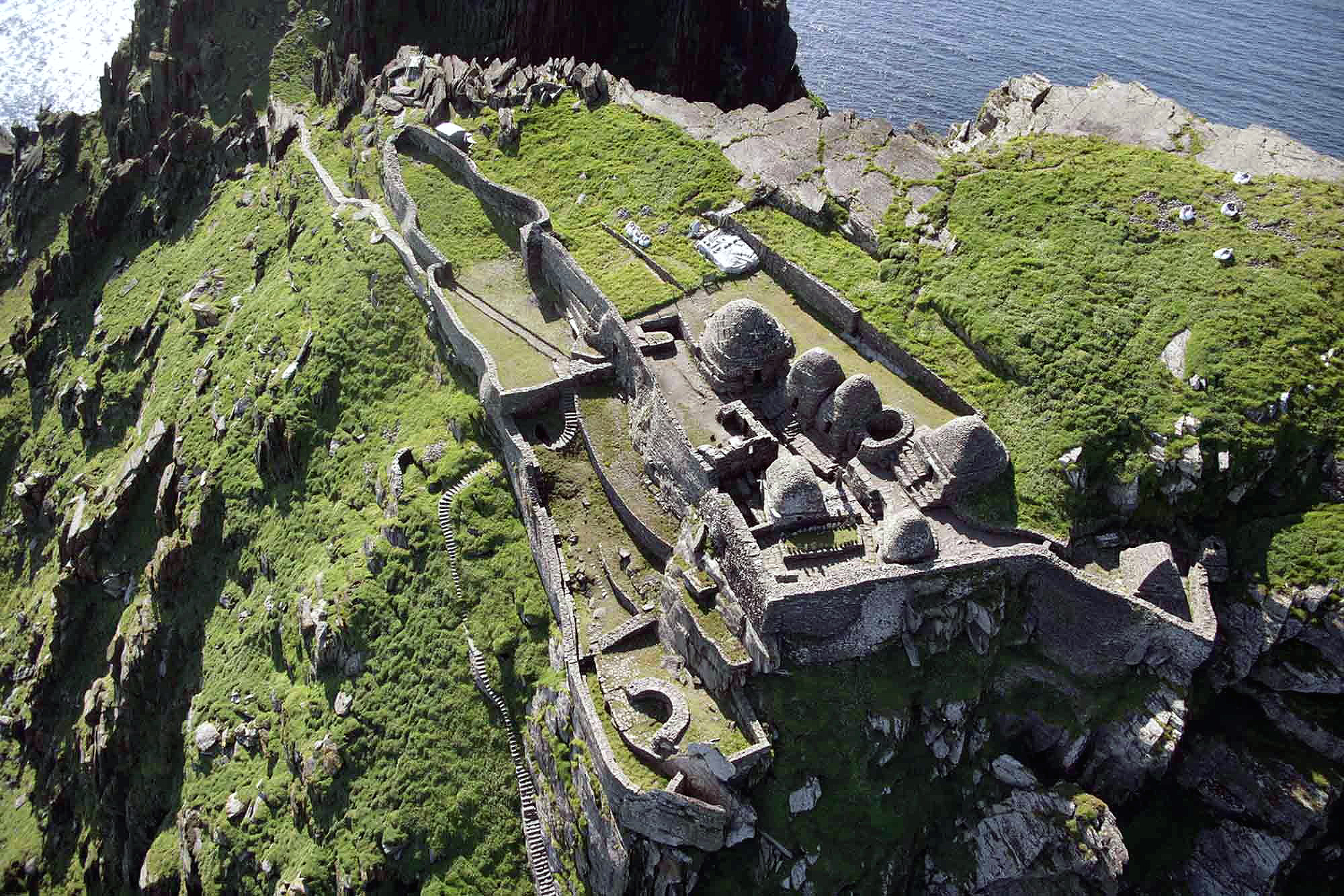 |
where Monks lived & worshiped |
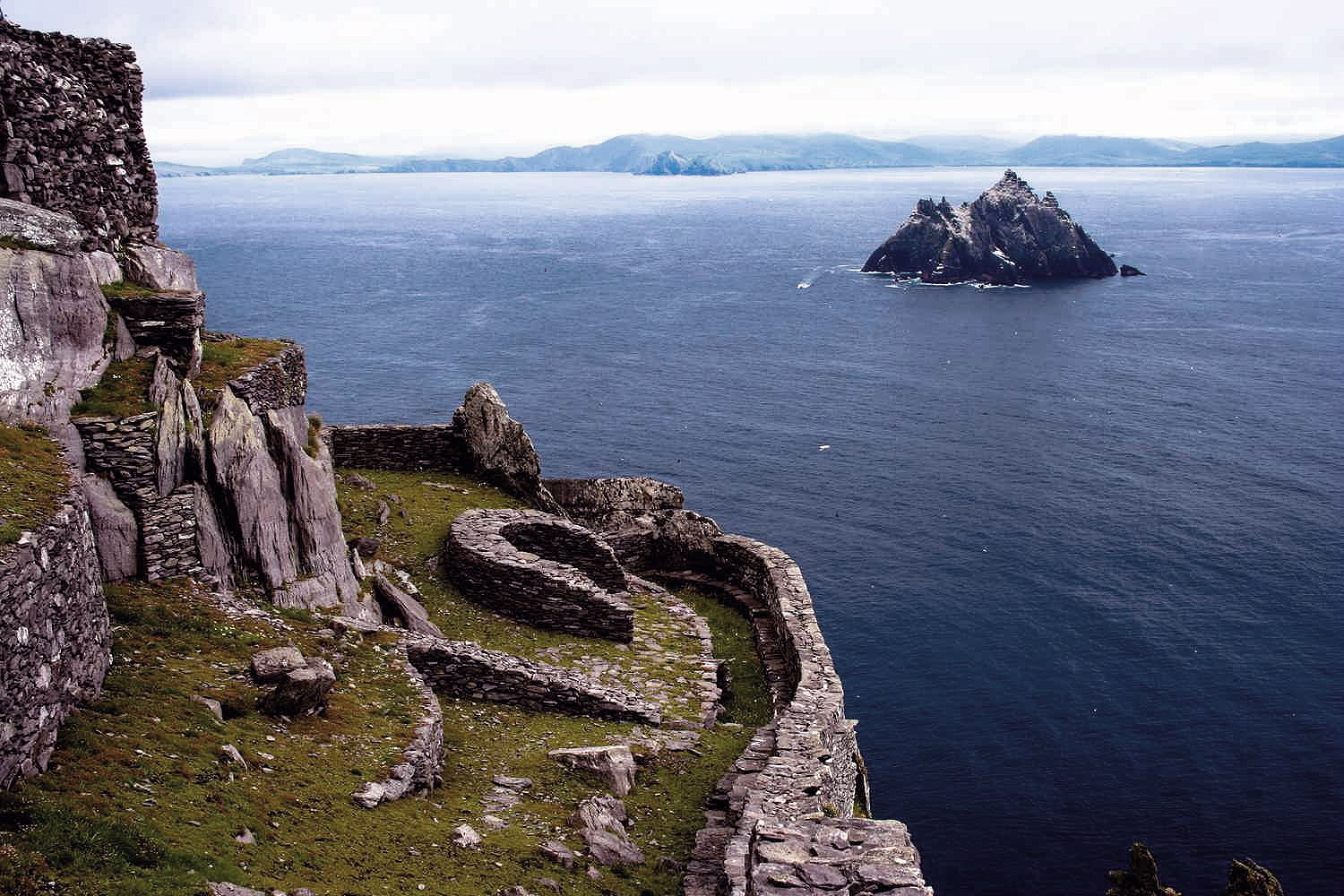 |
view back to mainland |
Tour boat warning - "Due to the sheer (and often slippery) terrain and sudden wind gusts, it is not suitable for young children or anyone with limited mobility" to make the climb.
To relieve the frustration of people who (during the tourist season) reserve for a boat ride to the islands, only to find out - upon arrival - that it is another "too windy to go out" day, or, who don't want to risk the steps, there is a Skellig Experience Visitor Center just across the bridge on Valentia Island.
(Skellig Is. info is from Lonely Planet Guide to Southwest Ireland, see Bibliography page).
Go to next page - Portmagee to Kenmare to Killarney